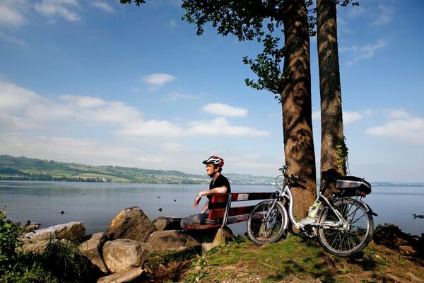
© Tourist Information Weggis - Tourist Information Weggis (Luzern Tourismus AG)

© Tourist Information Weggis - Tourist Information Weggis (Luzern Tourismus AG)

- Krótki opis
-
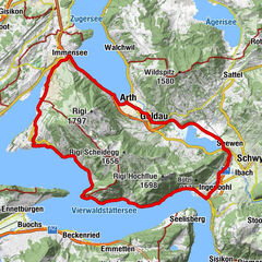
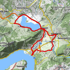
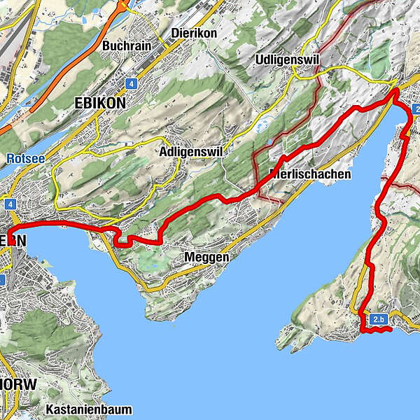
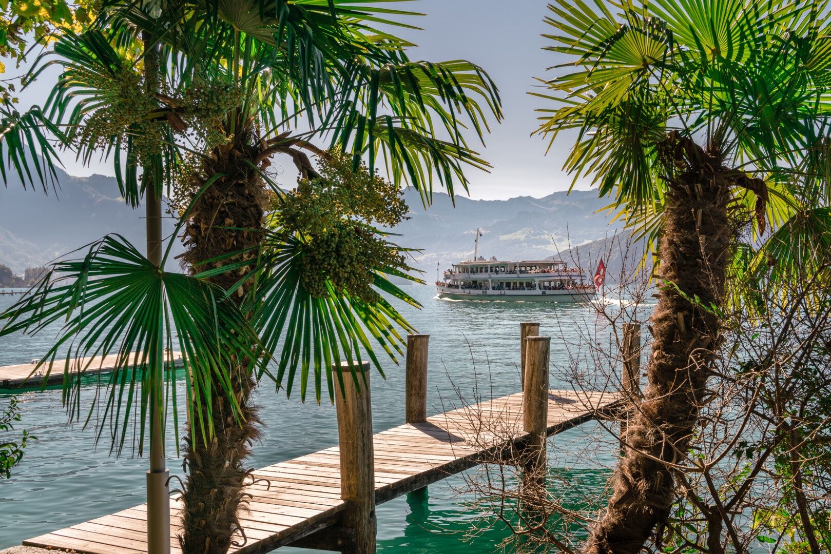
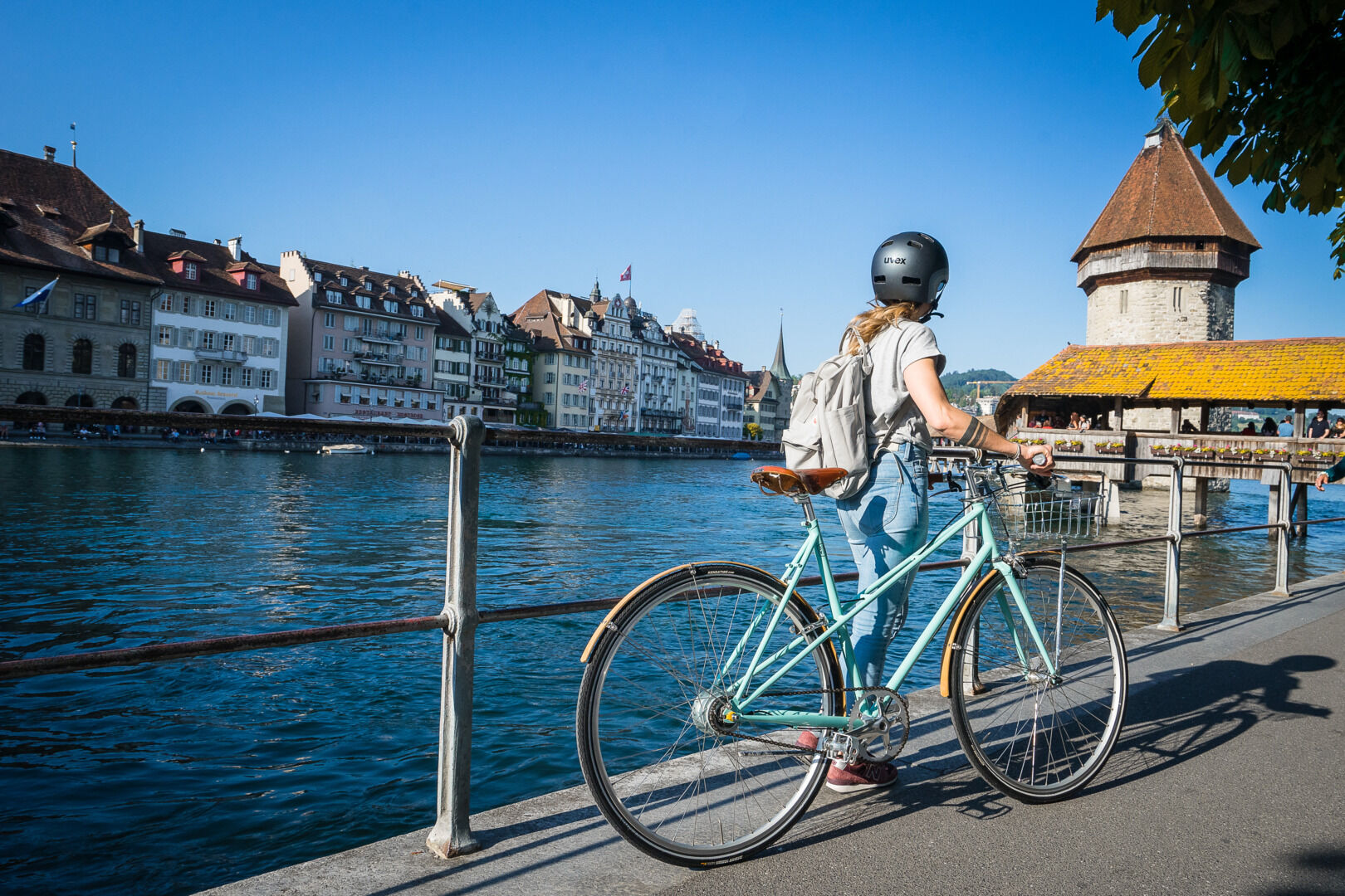
The route is part of SwitzerlandMobility Route No. 38, sometimes on panoramic paths above Lake Lucerne, sometimes along the shore from Weggis to Lucerne.
- Stopień trudności
-
średni
- Ocena
-
- Trasa
-
Weggis (435 m)Reformierte Kirche Weggis0,1 kmAllerheiligen Kapelle0,6 kmGreppen3,7 kmPfarrkirche St. Peter und Paul7,0 kmKüssnacht7,7 kmKüssnacht am Rigi (457 m)8,1 kmTschädigen12,7 kmEnglisch Friedhof-Kapelle15,8 kmEggen16,1 kmLuzern Verkehrshaus (439 m)18,0 kmMarkuskirche19,1 kmEingang "Schiffrestaurant Wilhelm Tell"19,9 kmBrücke 820,0 kmLuzern Schweizerhofquai (435 m)20,1 kmLucerne (436 m)20,4 kmLandungssteg 1 (SGV) Bahnhofquai20,4 km
- Najlepszy sezon
-
stylutmarkwimajczelipsiewrzpaźlisgru
- Najwyższy punkt
- 618 m
- Miejsce docelowe
-
Weggis, boat station
- Profil wysokości
-
 © outdooractive.com
- Autor
-
Wycieczka Cycle tour Weggis - Lucerne jest używany przez outdooractive.com pod warunkiem.
GPS Downloads


Informacje ogólne
Przystanek odświeżania
Kulturalny/Historyczny
Obiecujący
Więcej wycieczek w regionach