Himmlische Pfade: Tal-Variante Maria/Rickenbach - Ingenbohl

Trasa pielgrzymki

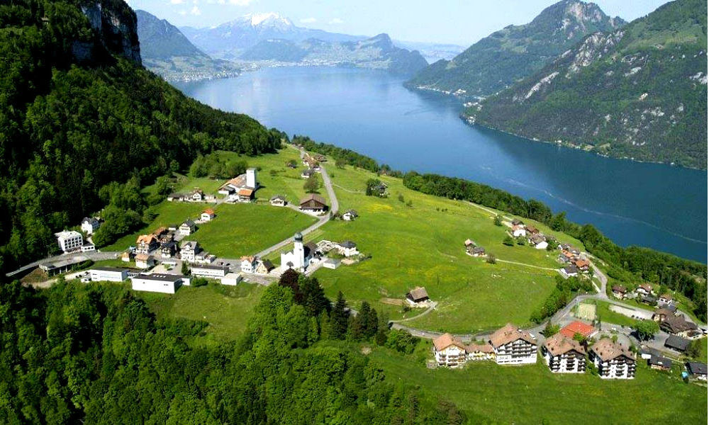
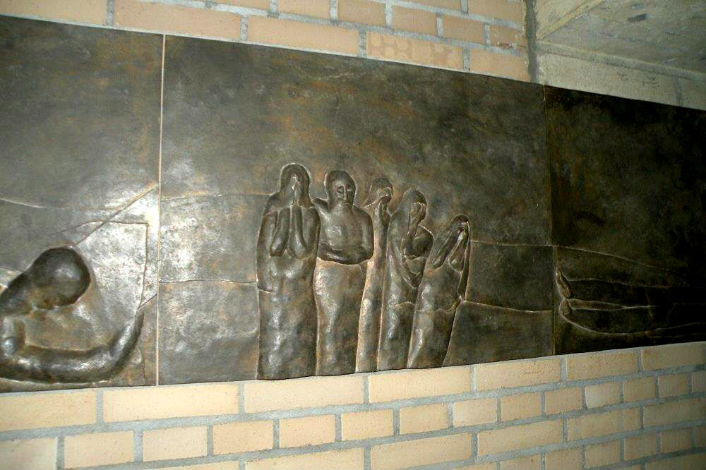
© Pilgerwege Schweiz - Sakrallandschaft Innerschweiz .

© Pilgerwege Schweiz - Mario Buchwalder

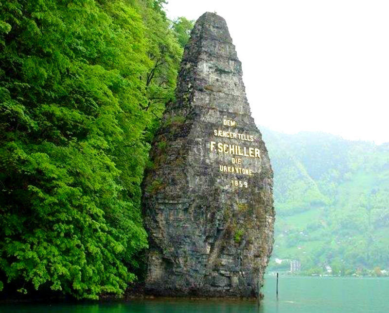
© Pilgerwege Schweiz - Sakrallandschaft Innerschweiz

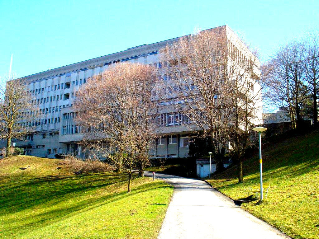
© Pilgerwege Schweiz - Sakrallandschaft Innerschweiz .

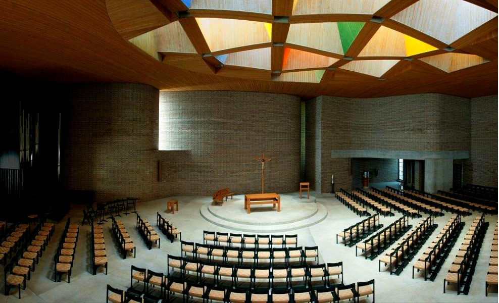
© Pilgerwege Schweiz - Sakrallandschaft Innerschweiz .

© Pilgerwege Schweiz - Sakrallandschaft Innerschweiz .

© Pilgerwege Schweiz - Sakrallandschaft Innerschweiz .

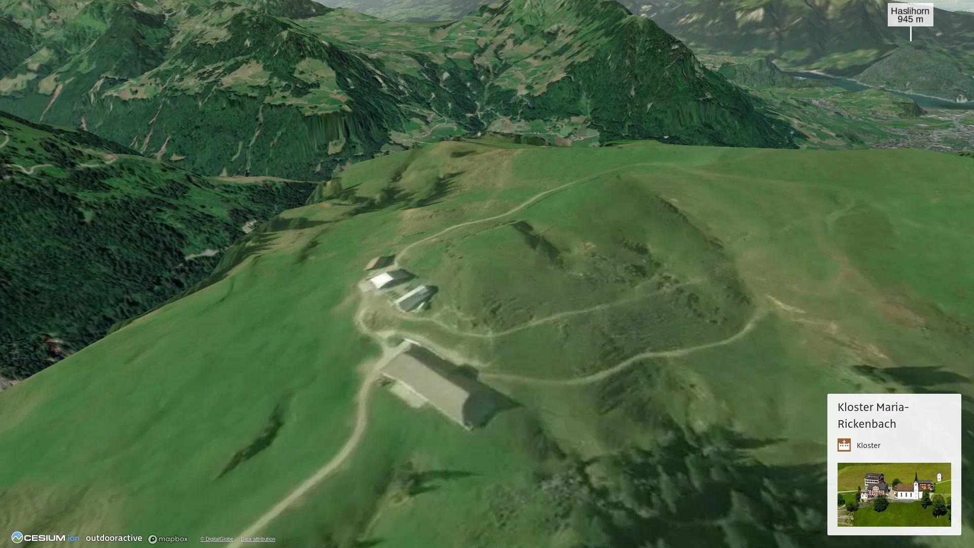
© Outdooractive – 3D Flüge
- Krótki opis
-
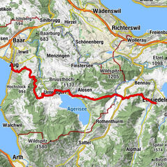
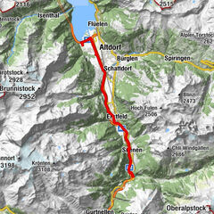
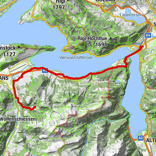
Das Wegnetz "Himmlische Pfade" bildet in der Innerschweiz rund um den Vierwaldstättersee Verbindungen zwischen Klöster und Wallfahrtskirchen, über Berge und Täler, je nach Wetter.
- Stopień trudności
-
ciężkie
- Ocena
-
- Trasa
-
Niederrickenbach0,0 kmPilgerhaus0,1 kmDallenwil (545 m)3,6 kmGasthaus Schlüssel3,9 kmOberdorf6,7 kmEnnerberg8,4 kmObgass-Kapelle9,6 kmBuochs (435 m)10,2 kmWallfahrtskapelle Ridli13,0 kmBoutique-Hotel Schlüssel13,5 kmBeckenried (435 m)14,7 kmBeckenried (See) (435 m)14,8 kmKatholische Kirche St. Heinrich14,9 kmSt. Anna Kapelle15,7 kmSeelisberg24,2 kmSt. Michael24,4 kmSeelisberg (801 m)24,6 kmRestaurant Bahnhof24,8 kmFurli24,8 kmOberschwanden25,1 kmTreibport26,2 kmWirtshaus zur Treib26,5 kmTreib26,6 kmLandungssteg SGV Brunnen28,1 kmBrunnen28,1 kmBundeskapelle28,1 kmNothelferkapelle28,4 kmIngenbohl29,6 kmPfarrkirche St. Leonhard29,6 km
- Najlepszy sezon
-
stylutmarkwimajczelipsiewrzpaźlisgru
- Najwyższy punkt
- 1.156 m
- Miejsce docelowe
-
Brunnen beim Kloster Ingenbohl
- Profil wysokości
-
 © outdooractive.com

- Autor
-
Wycieczka Himmlische Pfade: Tal-Variante Maria/Rickenbach - Ingenbohl jest używany przez outdooractive.com pod warunkiem.
GPS Downloads


Informacje ogólne
Przystanek odświeżania
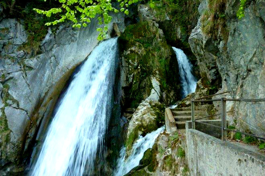
Kulturalny/Historyczny
Obiecujący
Więcej wycieczek w regionach
-
Nidwalden
1836
-
Klewenalp-Vierwaldstaettersee
965
-
Beckenried - Klewenalp
344