© Engelberg-Titlis Tourismus - Engelberg - Titlis Tourismus

© Engelberg-Titlis Tourismus - Engelberg - Titlis Tourismus

© Engelberg-Titlis Tourismus - Engelberg - Titlis Tourismus

© Engelberg-Titlis Tourismus AG

- Krótki opis
-
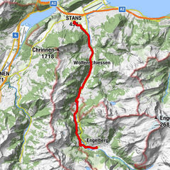
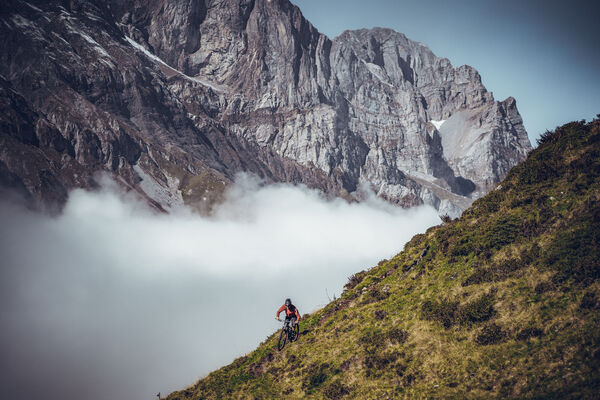
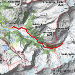
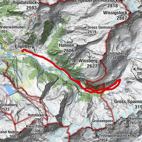
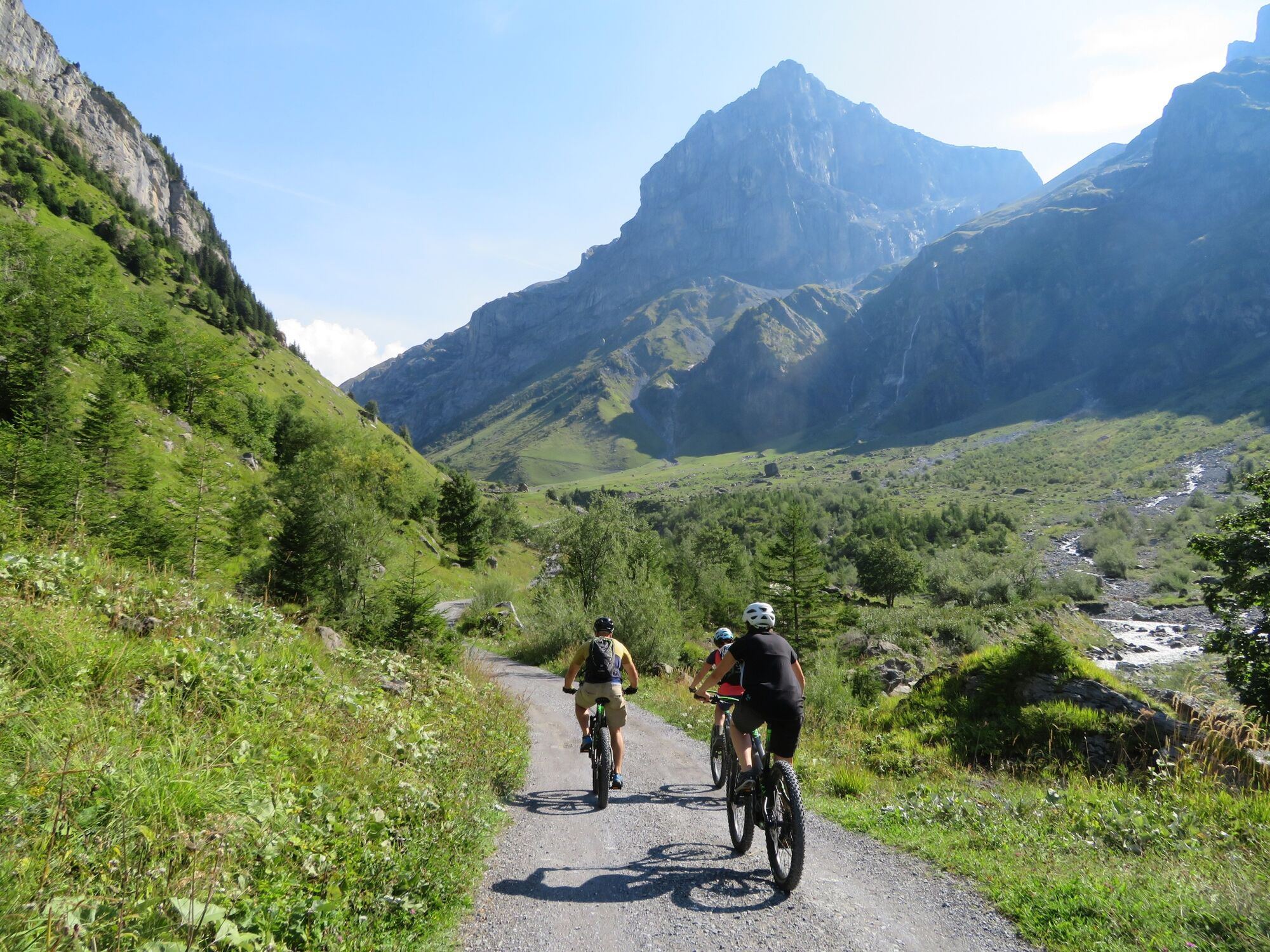
This tour takes bikers into another world. The Niedersurenen valley of the Engelberger Aa leads quietly and almost mysteriously along towards the Surenen pass. Always the massive Spannörter with their special form before your eyes.
- Stopień trudności
-
łatwe
- Ocena
-
- Trasa
-
Engelberg (1.002 m)0,0 kmEngelberg (1.000 m)0,3 kmTätschbachfall3,9 kmWasserfall4,0 kmHohmatt4,1 kmTalstation Herrenrüti5,6 kmNiedersurenen7,5 kmAlpenrösli7,5 kmBerggasthaus Stäfeli8,7 kmStäfeli8,7 kmNiedersurenen10,4 kmTalstation Herrenrüti12,3 kmTalstation Herrenrüti12,5 kmHohmatt13,8 kmWasserfall13,8 kmTätschbachfall13,8 kmEngelberg (1.000 m)17,7 kmEngelberg (1.002 m)18,0 km
- Najlepszy sezon
-
stylutmarkwimajczelipsiewrzpaźlisgru
- Najwyższy punkt
- 1.411 m
- Miejsce docelowe
-
Stäfeli
- Profil wysokości
-
 © outdooractive.com


-

-
AutorWycieczka Stäfeli Engelberg jest używany przez outdooractive.com pod warunkiem.
GPS Downloads


Informacje ogólne
Przystanek odświeżania
Obiecujący
Więcej wycieczek w regionach