© Einsiedeln-Ybrig-Zürichsee AG

© Einsiedeln-Ybrig-Zürichsee

© Einsiedeln-Ybrig-Zürichsee AG

© Einsiedeln-Ybrig-Zürichsee AG

© Einsiedeln-Ybrig-Zürichsee AG

© Einsiedeln-Ybrig-Zürichsee AG

© Einsiedeln-Ybrig-Zürichsee AG

© Einsiedeln-Ybrig-Zürichsee AG

© Einsiedeln-Ybrig-Zürichsee AG

© Einsiedeln-Ybrig-Zürichsee AG

- Krótki opis
-
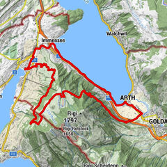
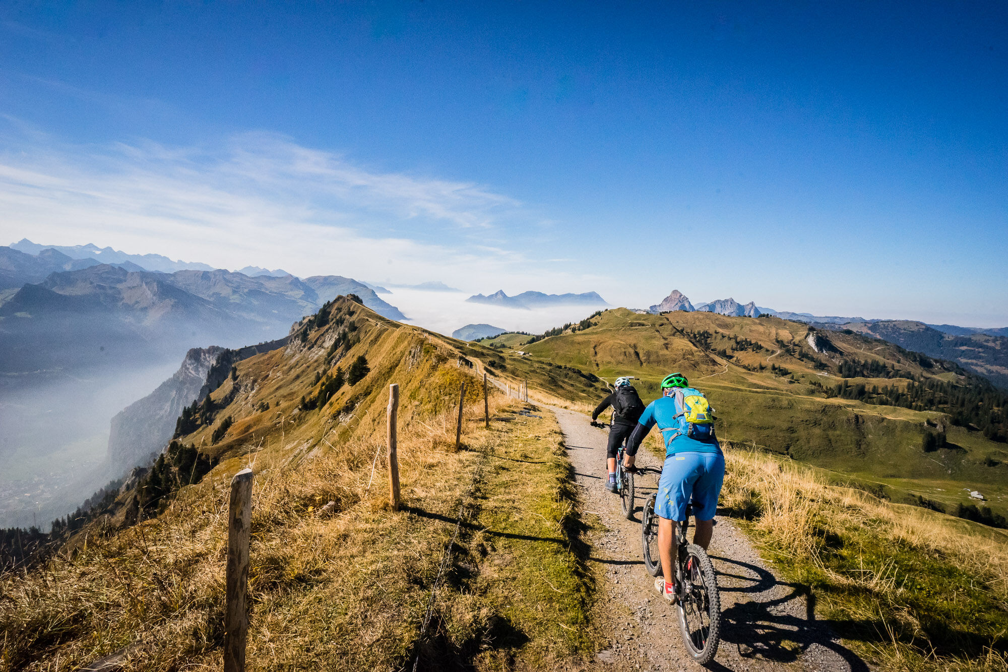
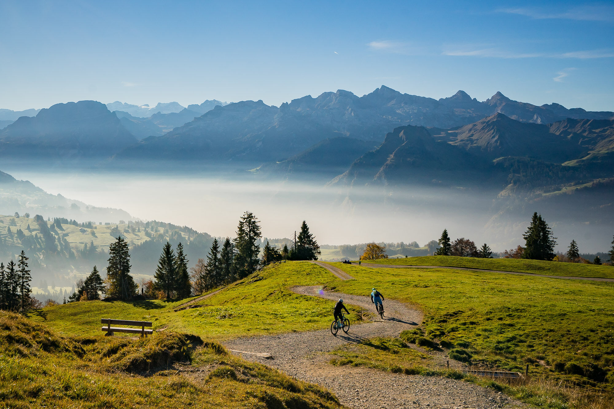
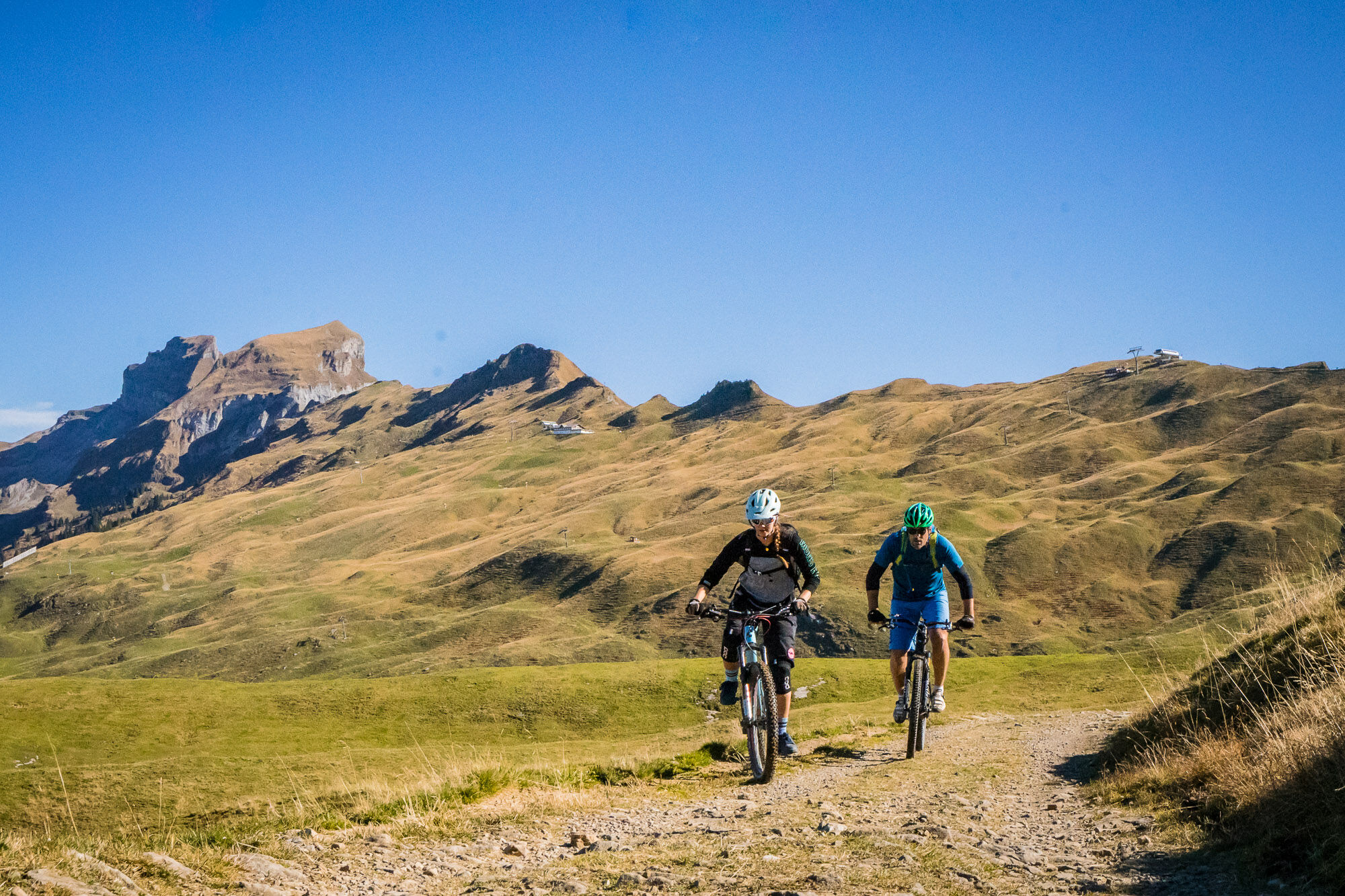
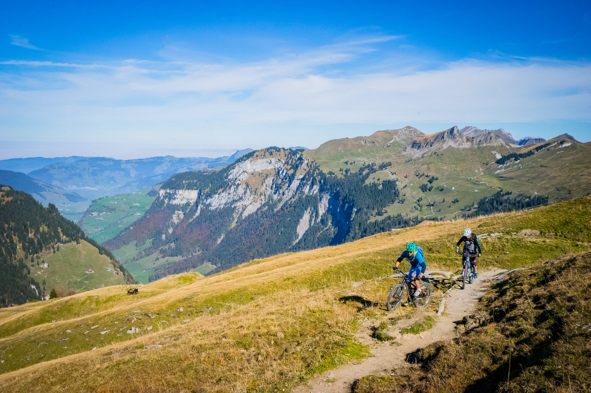
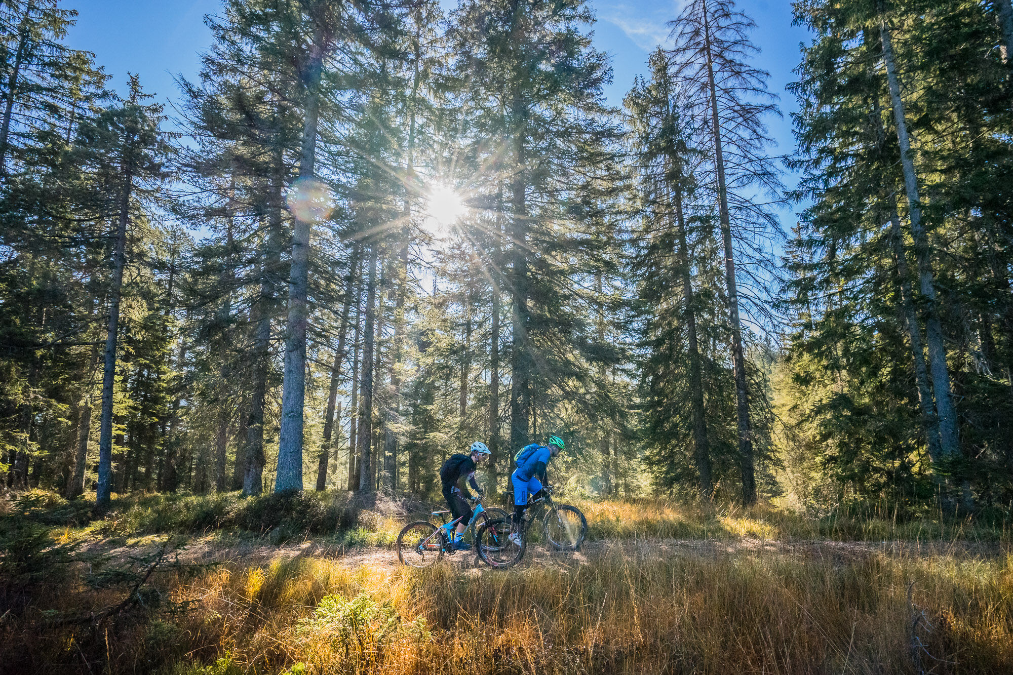
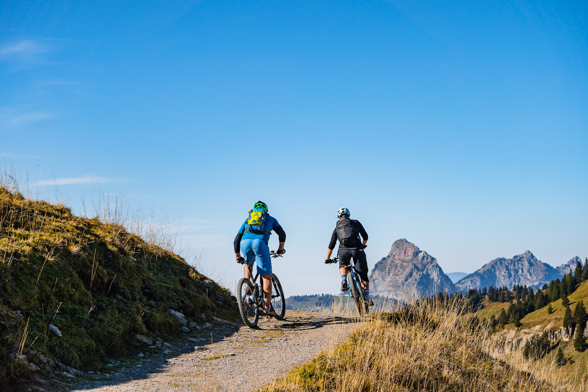
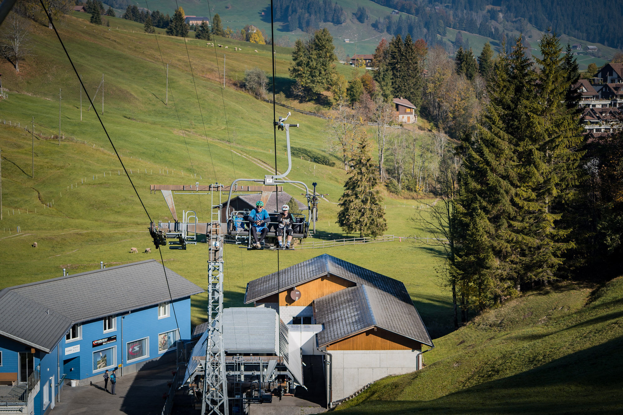
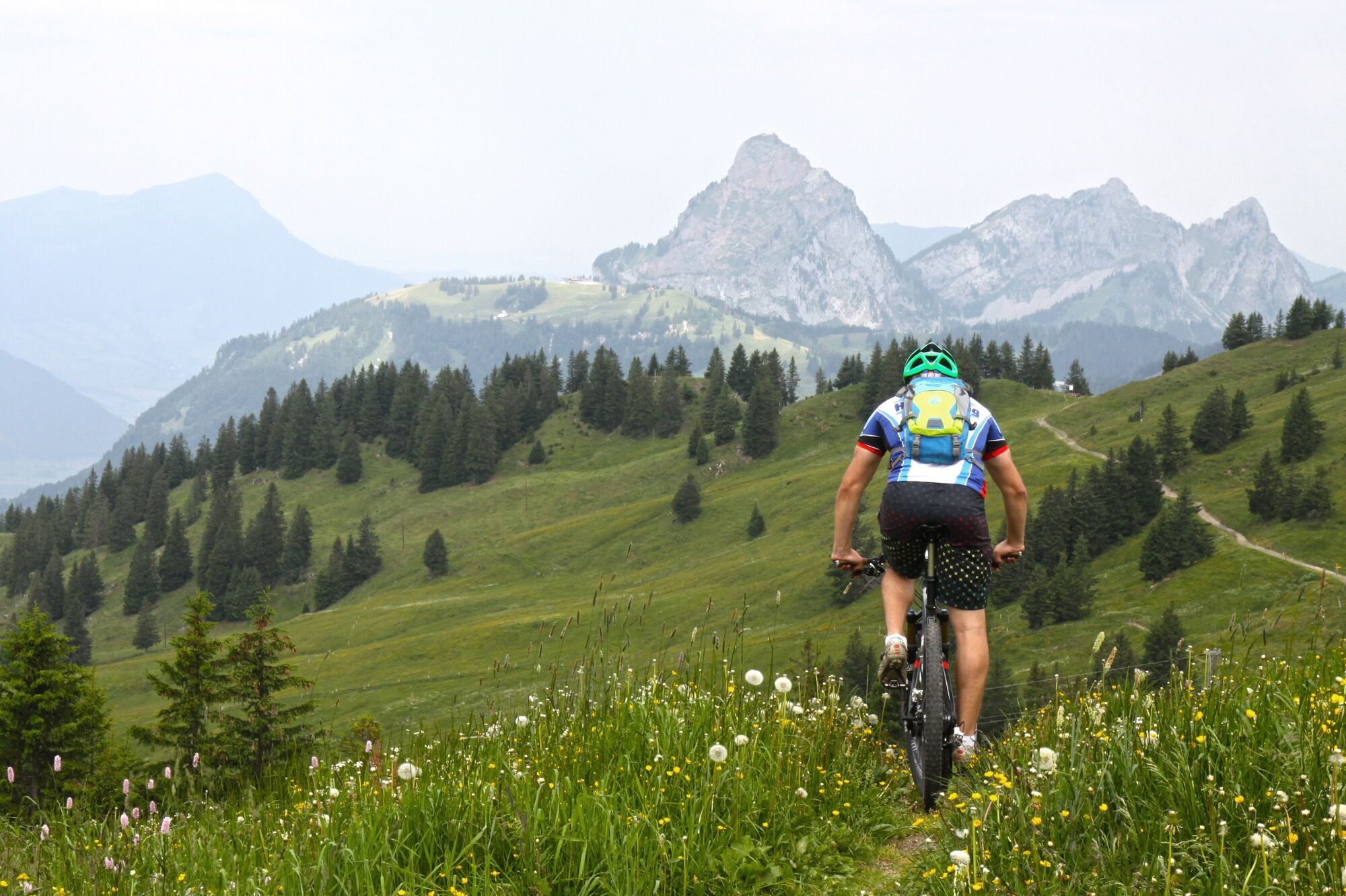
The first mountain bike - cableway tour in Central Switzerland offers a unique mountain panorama with flowing single trails and varied gastronomy.
- Stopień trudności
-
średni
- Ocena
-
- Trasa
-
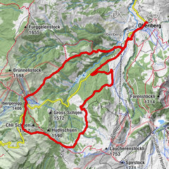
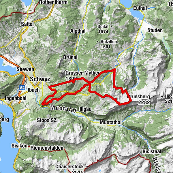
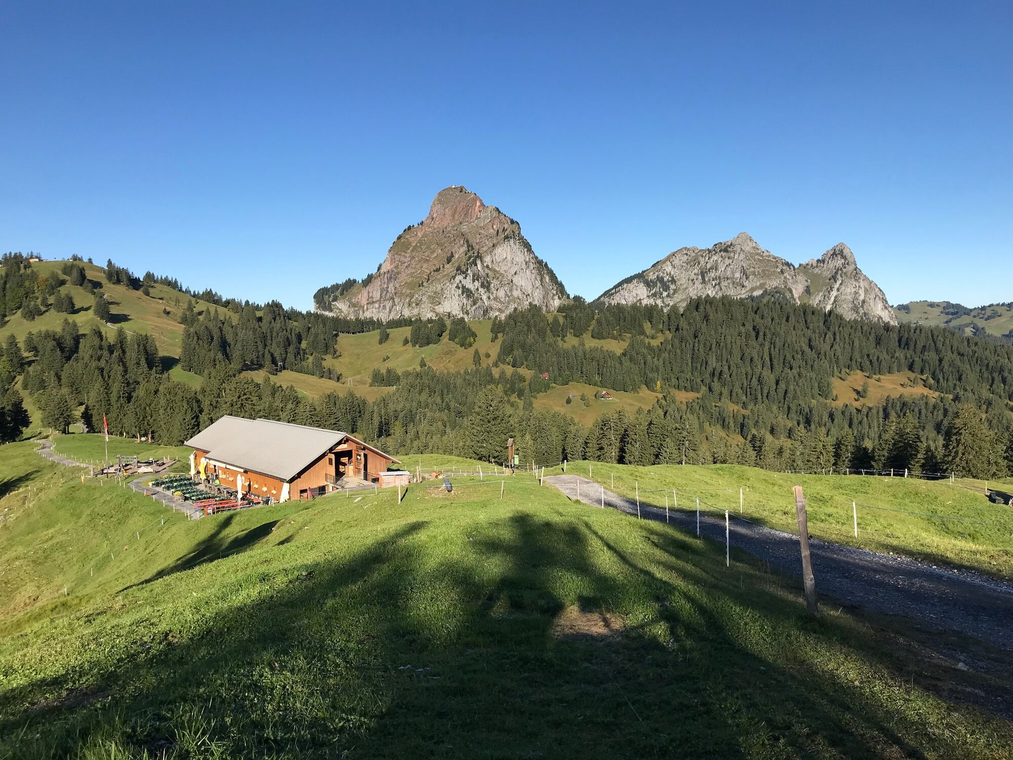
Snackbar 13ni0,0 kmLaucheren0,1 kmFuederegg3,3 kmBärghus4,4 kmSternen6,0 kmChli Stärnen (1.856 m)6,0 kmWilde Maa6,5 kmSpirstock (1.771 m)8,7 kmLaucherenchappelen9,2 kmSternenegg11,2 kmAltberg12,3 kmPasshöhe Ibergeregg13,5 kmIbergeregg (1.406 m)13,5 kmGrossenboden (1.295 m)14,3 kmGrossenboden14,7 kmSchnapshütte14,7 kmHandgruobi15,9 kmBerggasthaus Hand16,0 kmRüti18,0 kmUf Ibrig18,7 kmKapelle Aufiberg18,7 kmRestaurant Aufiberg18,8 kmGibel19,6 kmGibeli20,0 kmPerfiden24,3 kmSchwyz (516 m)24,8 kmRickenbach (586 m)24,8 kmTalstation Rotenfluebahn24,9 kmGeschloo25,3 kmAlgischit25,7 kmHuserenberg25,9 kmHungrigs26,3 kmMittelstation Rotenflue26,5 kmBergstation Rotenfluebahn27,6 kmGipfelstubli27,7 kmMüsliegg (1.427 m)29,0 kmAlpwirtschaft Zwäcken29,5 kmSonnenhütte30,5 kmSnackbar 13ni34,5 km
- Najlepszy sezon
-
stylutmarkwimajczelipsiewrzpaźlisgru
- Najwyższy punkt
- 1.823 m
- Miejsce docelowe
-
At the starting point (round trip)
- Profil wysokości
-
 © outdooractive.com


- Autor
-
Wycieczka Mythen region - Hoch-Ybrig cableway tour jest używany przez outdooractive.com pod warunkiem.
GPS Downloads


Pasy ruchu
Trial
Informacje ogólne
Przystanek odświeżania
Flora
Fauna
Obiecujący
Więcej wycieczek w regionach
-
Schwyz
193
-
Mythenregion
101
-
Ibergeregg
28