
- Krótki opis
-
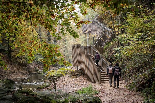
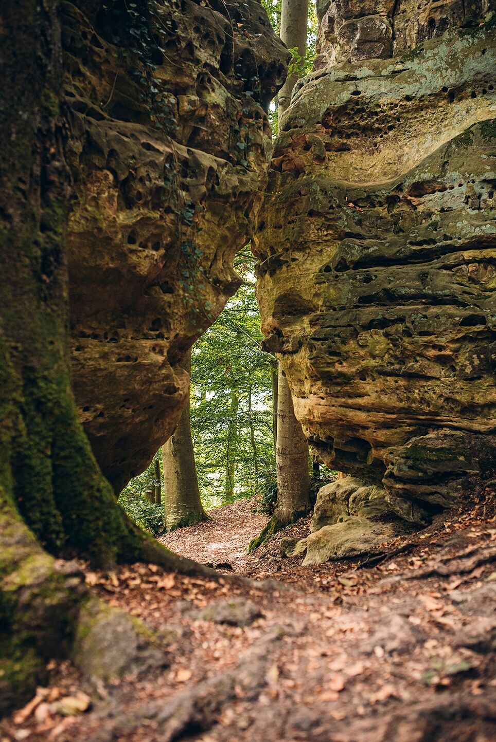
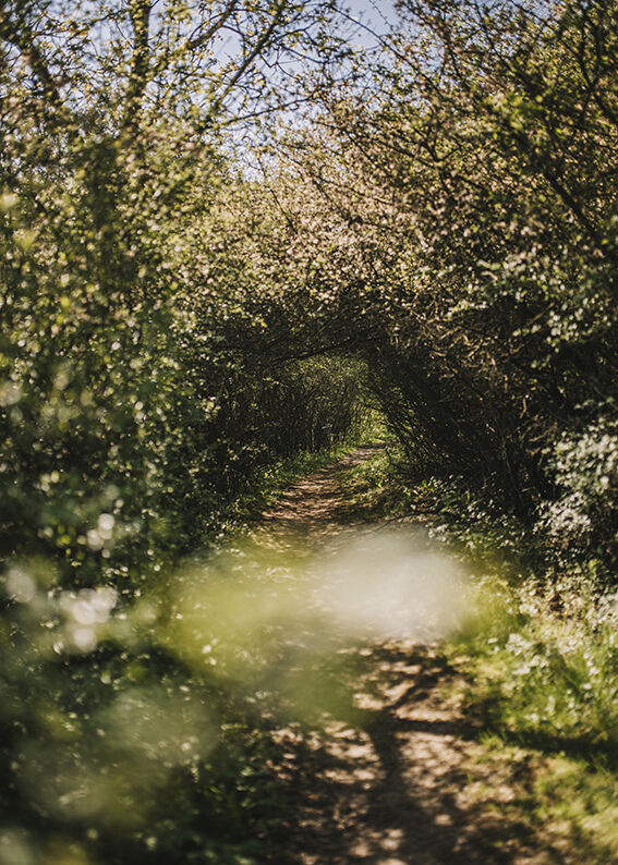
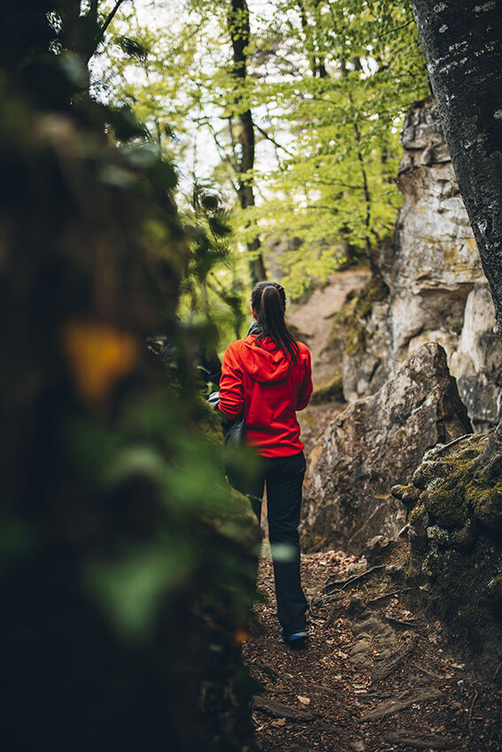
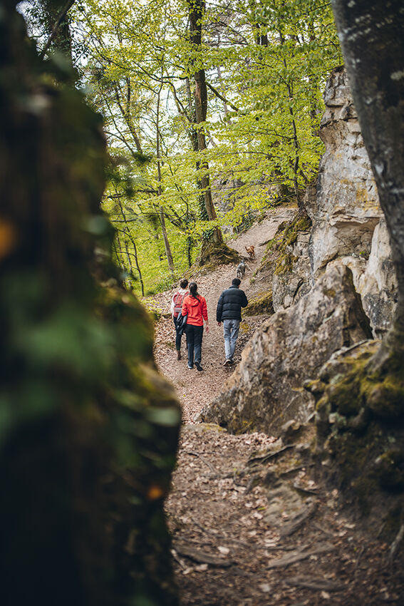
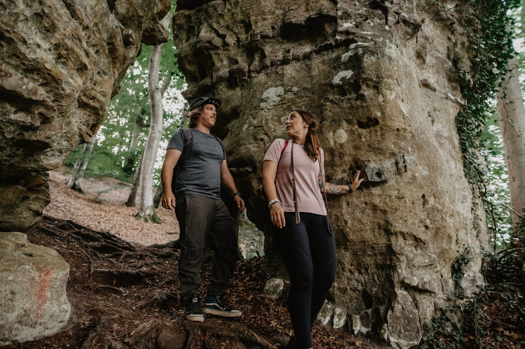
Hidden away in the enchanted forest between Mersch and Schoenfels are many unique, impressive rock and cave formations which will make the hearts of every nature lover beat faster.
- Stopień trudności
-
średni
- Ocena
-
- Trasa
-
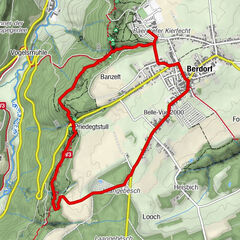
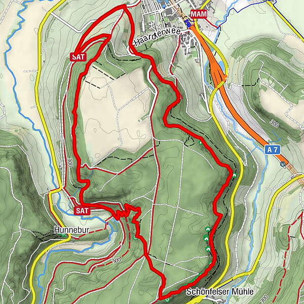
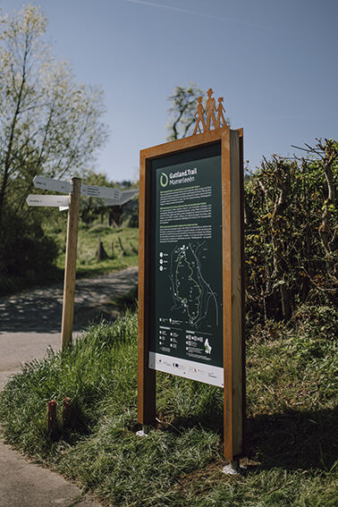
Mamerlach1,4 kmMamerlayen2,8 kmHuellay3,2 kmSchönfels3,3 kmPriedigstull3,9 kmHunnebur4,5 km
- Najlepszy sezon
-
stylutmarkwimajczelipsiewrzpaźlisgru
- Najwyższy punkt
- 366 m
- Miejsce docelowe
-
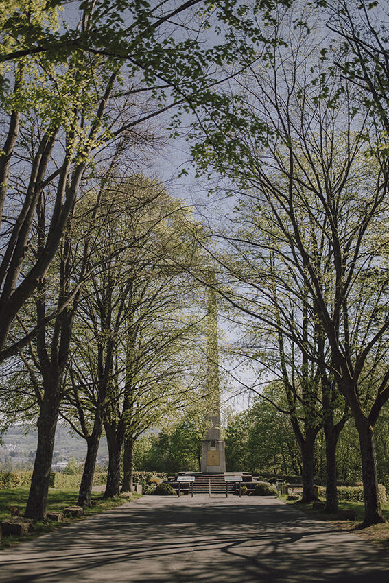
Monument national de l'indépendance 'Obelisk'- Mersch, Krounebierg
- Profil wysokości
-
 © outdooractive.com


- Autor
-
Wycieczka Guttland.Trail Mamerleeën jest używany przez outdooractive.com pod warunkiem.
GPS Downloads


Informacje ogólne
Kulturalny/Historyczny
Fauna
Obiecujący
Więcej wycieczek w regionach