© Visit Éislek

- Krótki opis
-
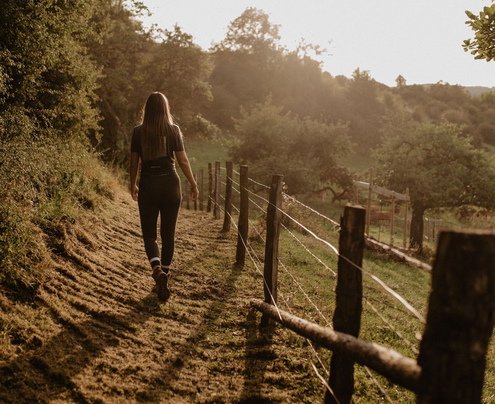
From the leisurely afternoon round to the challenging hiking tour, everything is included in the Local Hiking Trails.
- Stopień trudności
-
łatwe
- Ocena
-
- Trasa
-
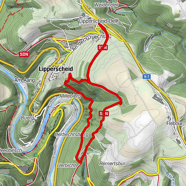
Lipperscheid-Dellt0,0 kmGringlay0,9 kmViewpoint on the Sure2,0 kmMoulin de Bourscheid3,7 kmLipperscheid3,8 kmLipperscheid-Dellt5,4 km
- Najlepszy sezon
-
stylutmarkwimajczelipsiewrzpaźlisgru
- Najwyższy punkt
- 465 m
- Miejsce docelowe
-
Lipperscheid - Dellt
- Profil wysokości
-
 © outdooractive.com
- Autor
-
Wycieczka Local hiking trail BS 1 - Lipperscheid jest używany przez outdooractive.com pod warunkiem.
GPS Downloads


Informacje ogólne
Przystanek odświeżania
Obiecujący
Więcej wycieczek w regionach
-
Eifel/ Rheinland-Pfalz
1056
-
Guttland
412
-
Bourscheid
163