© Visit Éislek

- Krótki opis
-
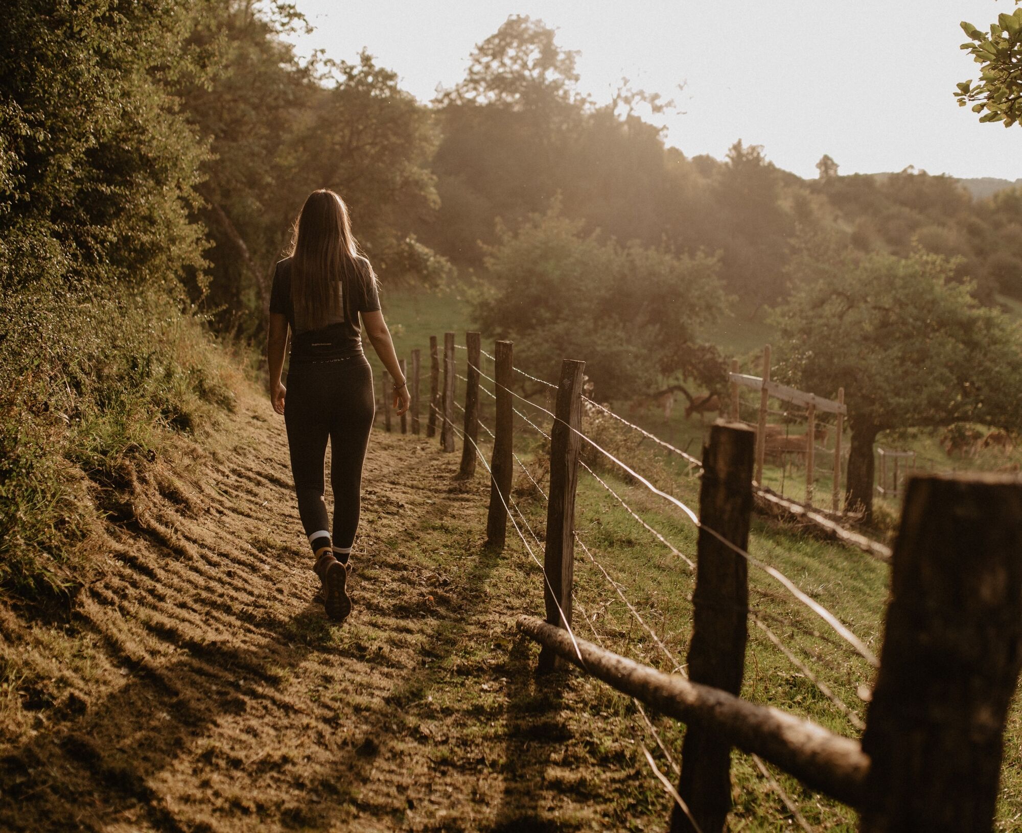
From the leisurely afternoon round to the challenging hiking tour, everything is included in the Local Hiking Trails.
- Stopień trudności
-
średni
- Ocena
-
- Trasa
-
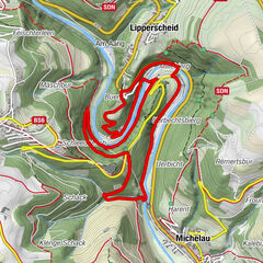
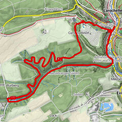
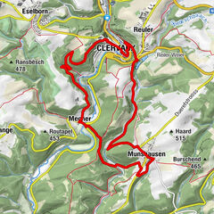
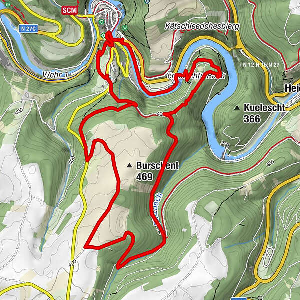
Esch-SauerBurschent (469 m)5,2 kmChapelle Sainte-Croix7,0 kmEsch-Sauer7,6 kmLe Postillon7,7 km
- Najlepszy sezon
-
stylutmarkwimajczelipsiewrzpaźlisgru
- Najwyższy punkt
- 493 m
- Miejsce docelowe
-
Esch-sur-Sûre
- Profil wysokości
-
 © outdooractive.com
- Autor
-
Wycieczka Local hiking trail ES 8 - Esch-Sur-Sûre jest używany przez outdooractive.com pod warunkiem.
GPS Downloads


Informacje ogólne
Obiecujący
Więcej wycieczek w regionach
-
Eifel/ Rheinland-Pfalz
1056
-
Guttland
412
-
Esch-Sauer / Esch-sur-Sûre
163