© Visit Éislek

- Krótki opis
-
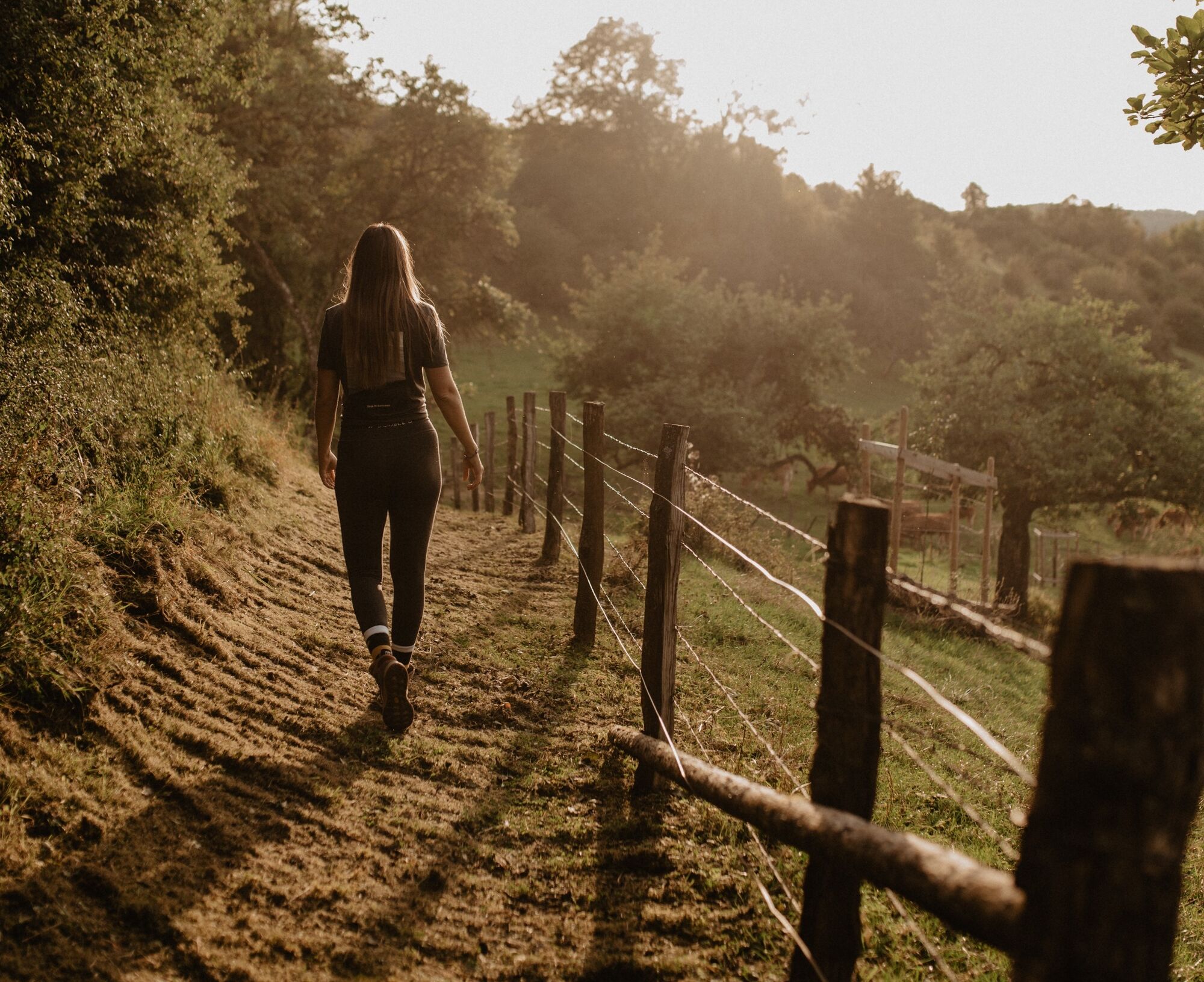
From the leisurely afternoon round to the challenging hiking tour, everything is included in the Local Hiking Trails.
- Stopień trudności
-
łatwe
- Ocena
-
- Trasa
-
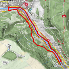
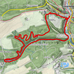
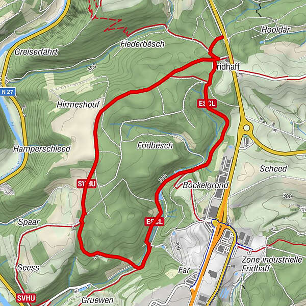
Fridhaff0,3 kmFridhaff5,1 km
- Najlepszy sezon
-
stylutmarkwimajczelipsiewrzpaźlisgru
- Najwyższy punkt
- 371 m
- Miejsce docelowe
-
Diekirch - Fridhaff
- Profil wysokości
-
 © outdooractive.com
- Autor
-
Wycieczka Local hiking trail DK 2 - Diekirch (Fridhaff) jest używany przez outdooractive.com pod warunkiem.
GPS Downloads


Informacje ogólne
Obiecujący