
- Krótki opis
-
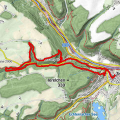
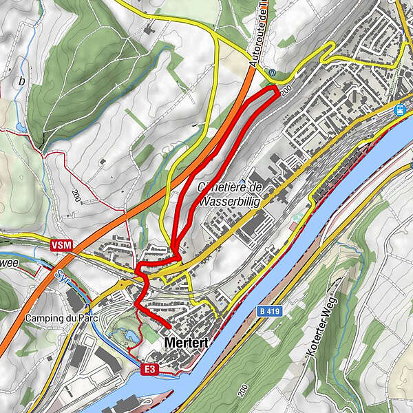
You can reach a suitable starting point of this educational trail via two short but very steep access trails from either of the two villages Mertert and Wasserbillig.
- Stopień trudności
-
łatwe
- Ocena
-
- Trasa
-
Trois-Quarts2,9 kmMertert3,2 km
- Najlepszy sezon
-
stylutmarkwimajczelipsiewrzpaźlisgru
- Najwyższy punkt
- 218 m
- Miejsce docelowe
-
Echternacher Straße 10 6617 Mertert
- Profil wysokości
-
 © outdooractive.com

-

-
AutorWycieczka Wine-Information Trail jest używany przez outdooractive.com pod warunkiem.
GPS Downloads


Więcej wycieczek w regionach
-
Saar-Obermosel
504
-
Mertert / Wasserbillig
164