© Visit Luxembourg - Visit Moselle

© Visit Luxembourg - Visit Moselle

© Visit Luxembourg - Visit Moselle

- Krótki opis
-
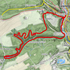
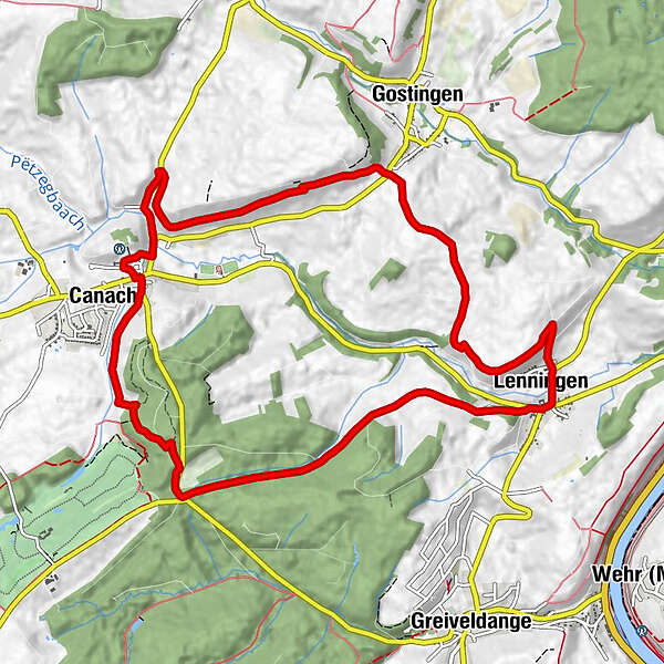
This path tackles the summits of the Wéngertsbierg, Canecherbierg, Kalebiergand Haard. It follows part of the Lennengerbaach to Lenningen before crossing the Branebësch and returning to its starting point.
- Stopień trudności
-
łatwe
- Ocena
-
- Trasa
-
CanachSaint-Michel0,0 kmWéngertsbierg1,7 kmCanecherbierg2,5 kmLenningen6,1 kmSaint-Pierre6,3 kmCaves Leuck-Thull / Restaurant Wäistuff Leuck6,4 kmKaul6,7 kmCanach11,1 kmSaint-Michel11,7 km
- Najlepszy sezon
-
stylutmarkwimajczelipsiewrzpaźlisgru
- Najwyższy punkt
- 296 m
- Miejsce docelowe
-
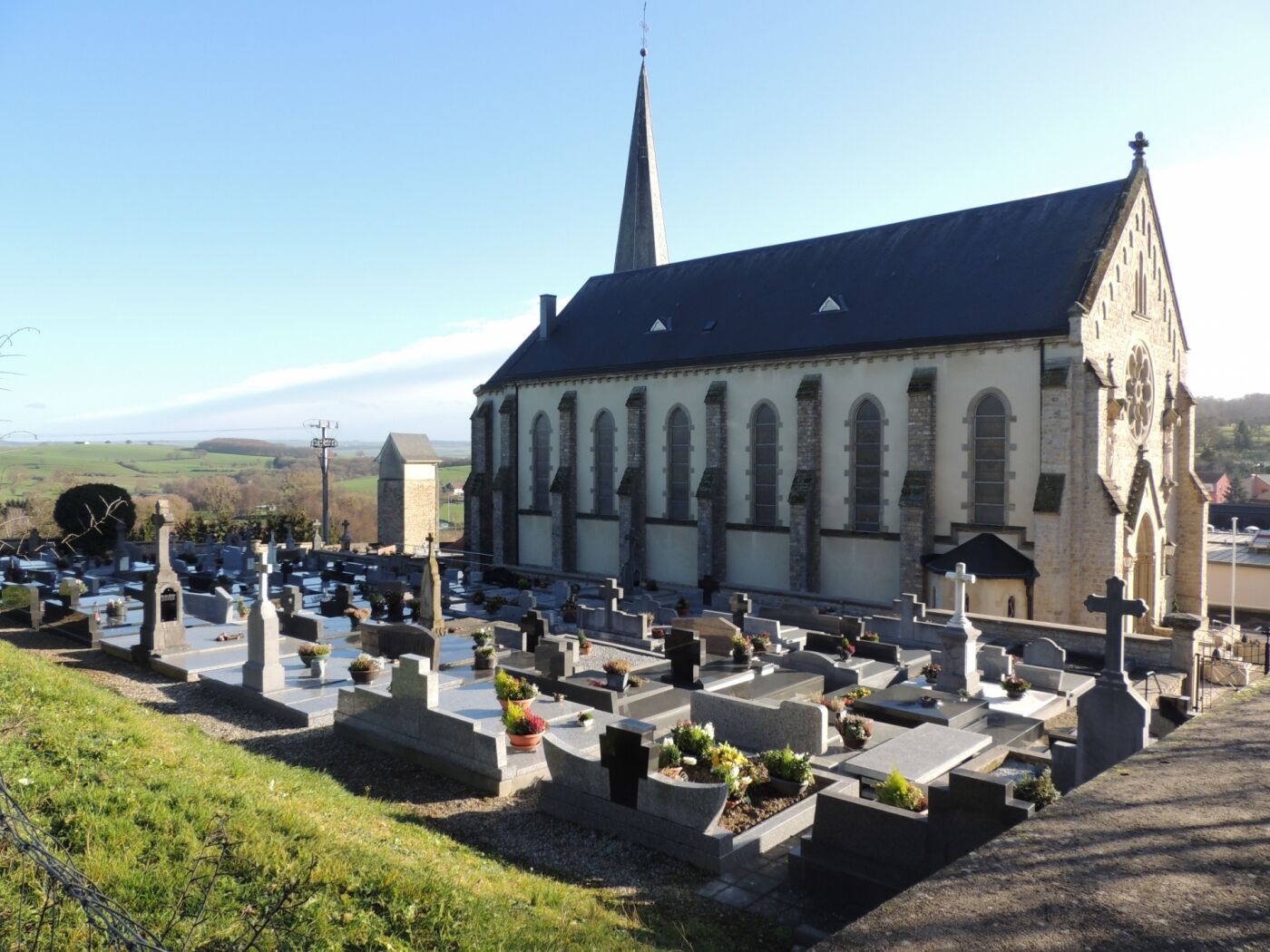
Church Canach - 3, Rue de l‘Église L-5414 Canach
- Profil wysokości
-
 © outdooractive.com
-

-
AutorWycieczka Auto-pédestre trail Canach jest używany przez outdooractive.com pod warunkiem.
GPS Downloads


Więcej wycieczek w regionach
-
Region Mosel
447
-
Lenningen
110