


- Krótki opis
-
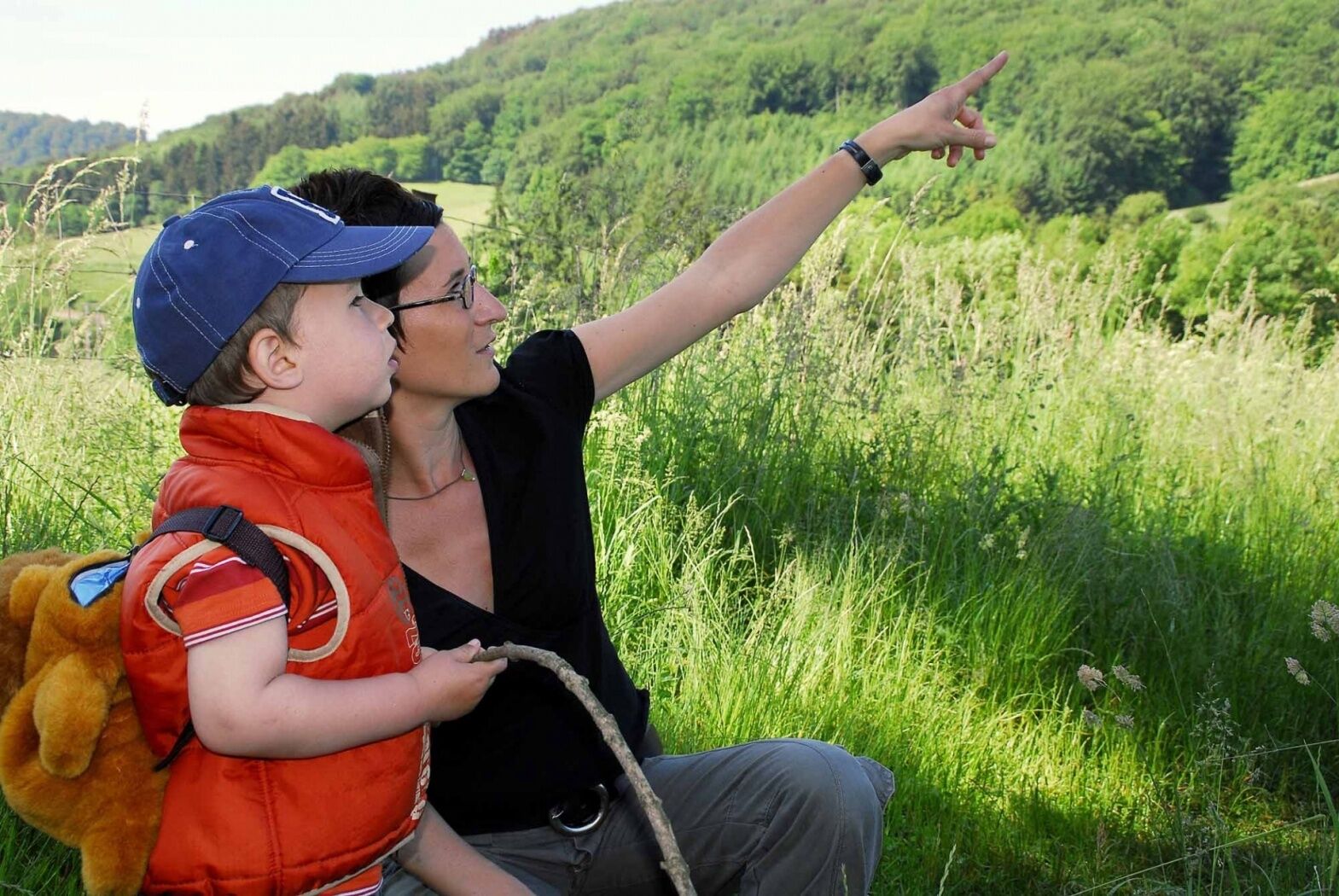
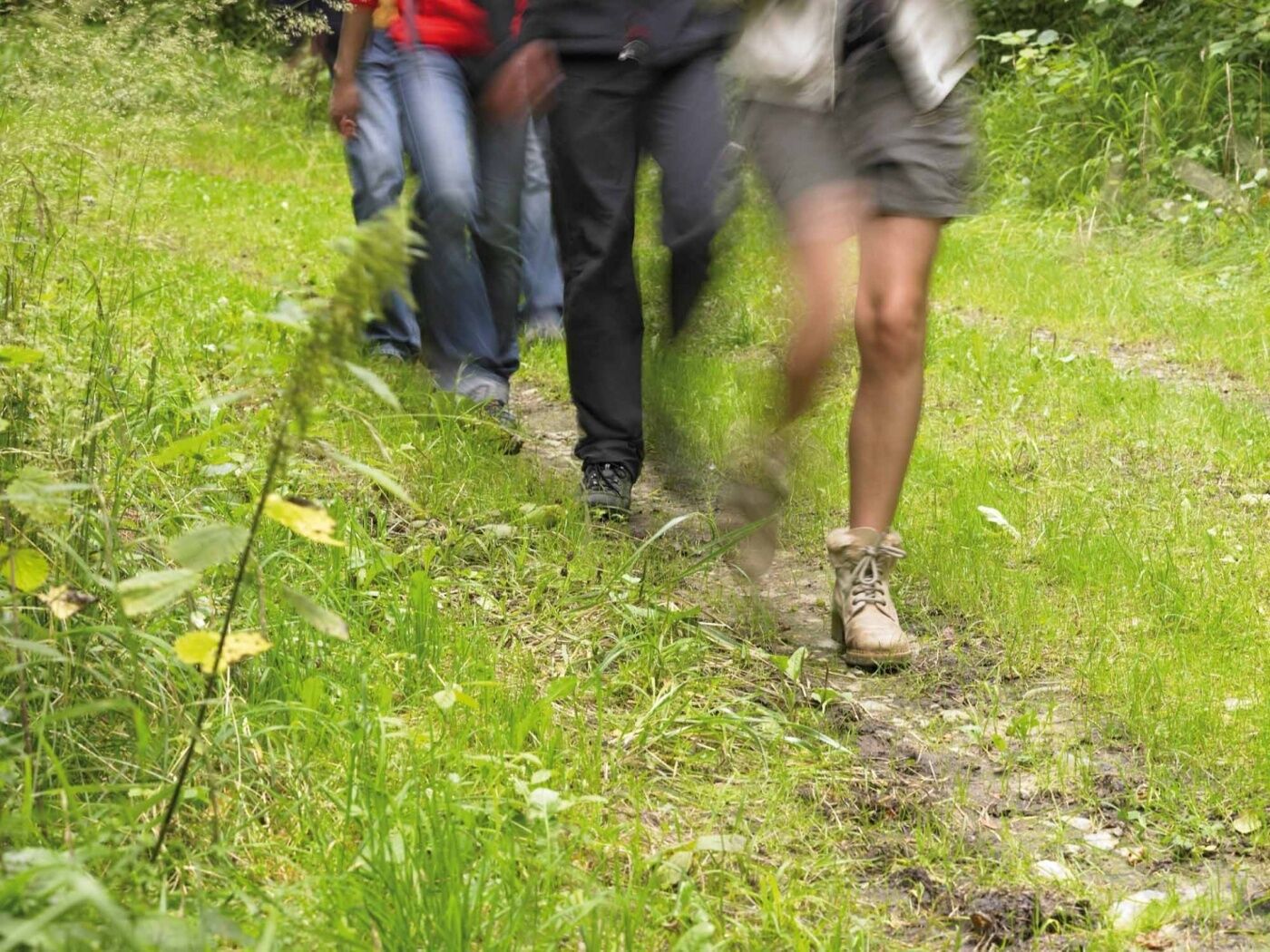
Take advantage of this shaded trail through the Riederbësch, Baurebësch forests and the roman road Kiem which then follows a country road and passes through fields on the return journey.
- Stopień trudności
-
średni
- Ocena
-
- Trasa
-
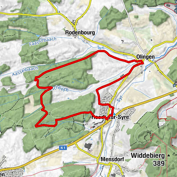
RoodtRoodt/Syre0,2 kmOlingen8,0 kmRestaurant Rébeca8,1 kmRoodt/Syre10,7 kmRoodt10,7 km
- Najlepszy sezon
-
stylutmarkwimajczelipsiewrzpaźlisgru
- Najwyższy punkt
- 306 m
- Miejsce docelowe
-
Train station Roodt-sur-Syre
- Profil wysokości
-
 © outdooractive.com

-

-
AutorWycieczka Auto-pédestre trail Roodt-sur-Syre jest używany przez outdooractive.com pod warunkiem.
GPS Downloads


Informacje ogólne
Przystanek odświeżania
Więcej wycieczek w regionach
-
Region Mosel
446
-
Niederanven
105


