

© Visit Luxembourg - Fernand Morbach

© Visit Luxembourg - Ninon Sitz

- Krótki opis
-
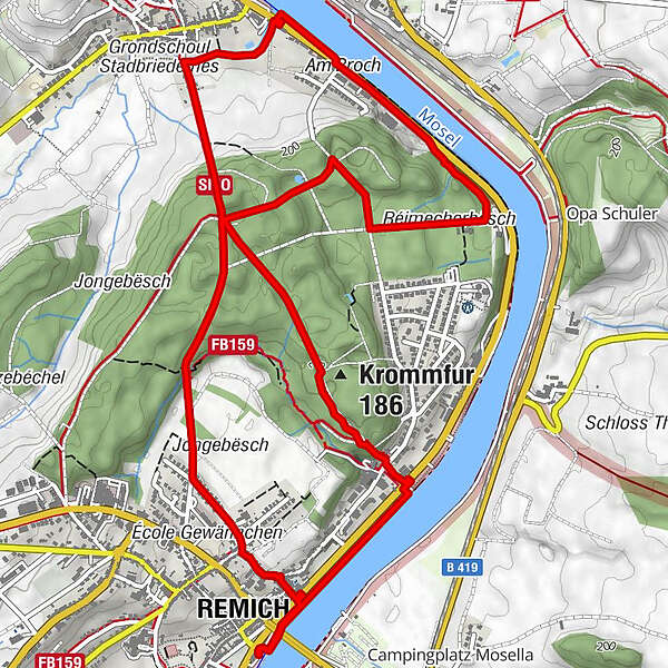
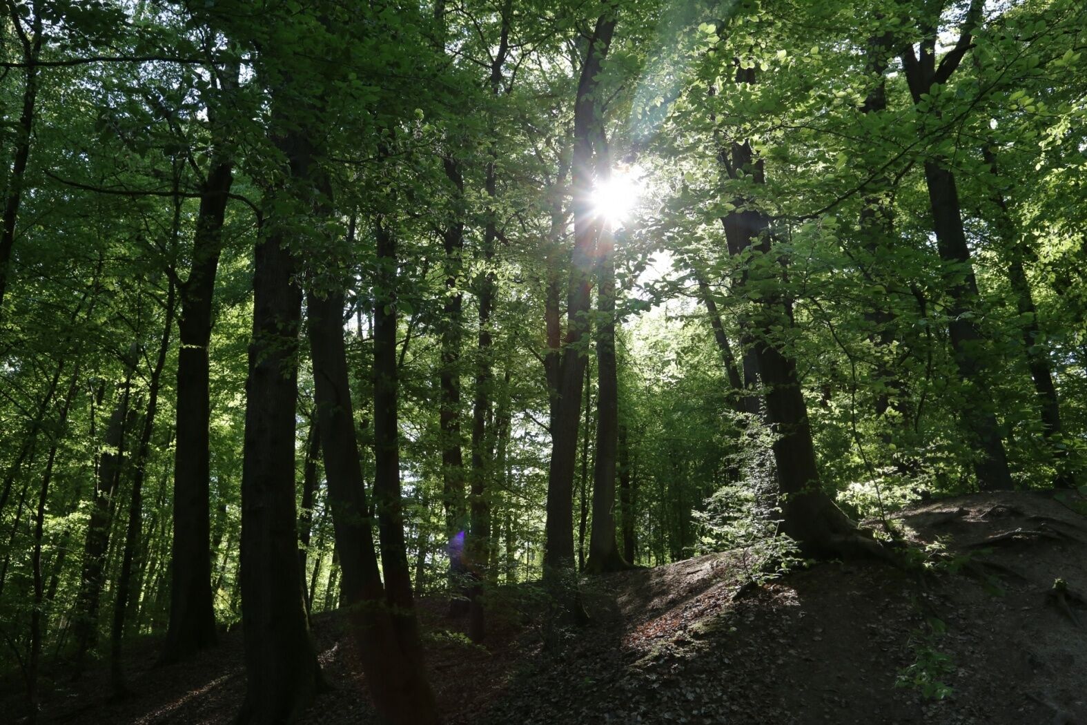
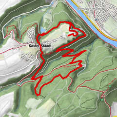
The loop trail in the forest leads through the old streets up to the „Gewännchen“, and then continues through the forest to Stadtbredimus.
- Stopień trudności
-
łatwe
- Ocena
-
- Trasa
-
Remich0,0 kmNavitours0,1 kmStadtbredimus2,5 kmPalzem3,1 kmAm Broch3,4 kmKrommfur (186 m)6,1 kmNavitours7,5 kmRemich7,5 km
- Najlepszy sezon
-
stylutmarkwimajczelipsiewrzpaźlisgru
- Najwyższy punkt
- 208 m
- Miejsce docelowe
-
Tourist Info Remich, 1, route du Vin L-5549 Remich
- Profil wysokości
-
 © outdooractive.com
-

-
AutorWycieczka Bësch Tour - RE1 jest używany przez outdooractive.com pod warunkiem.
GPS Downloads


Więcej wycieczek w regionach
-
Region Mosel
446
-
Remich
100


")
")


