


- Krótki opis
-
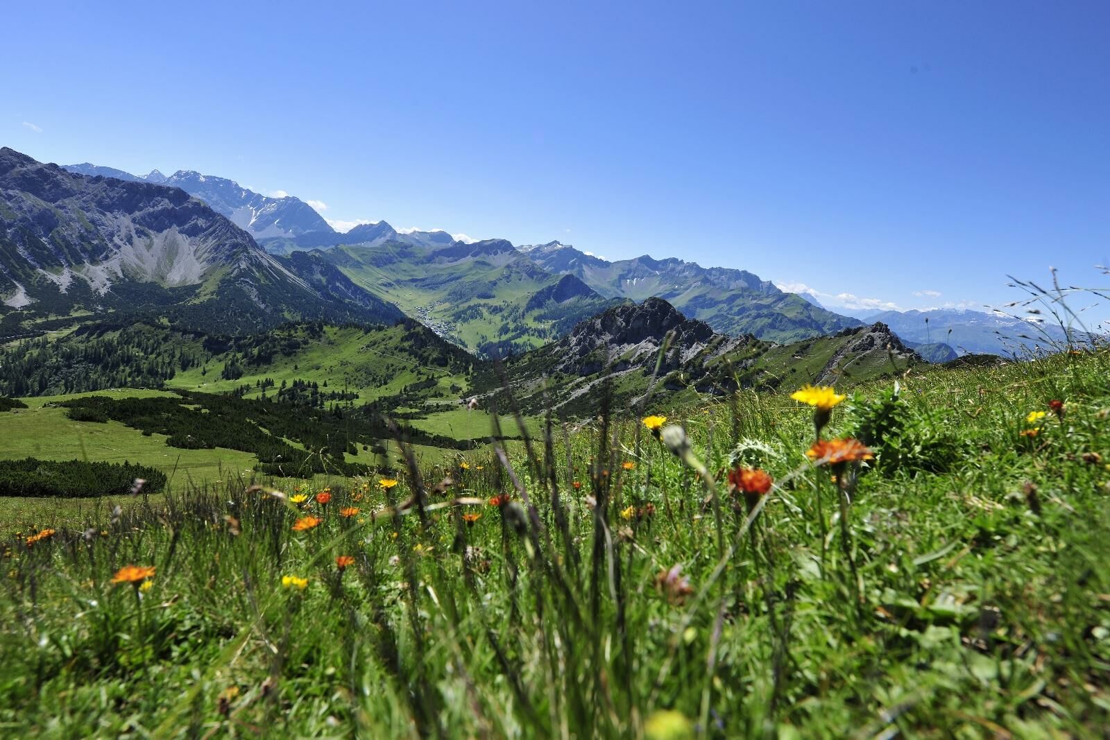
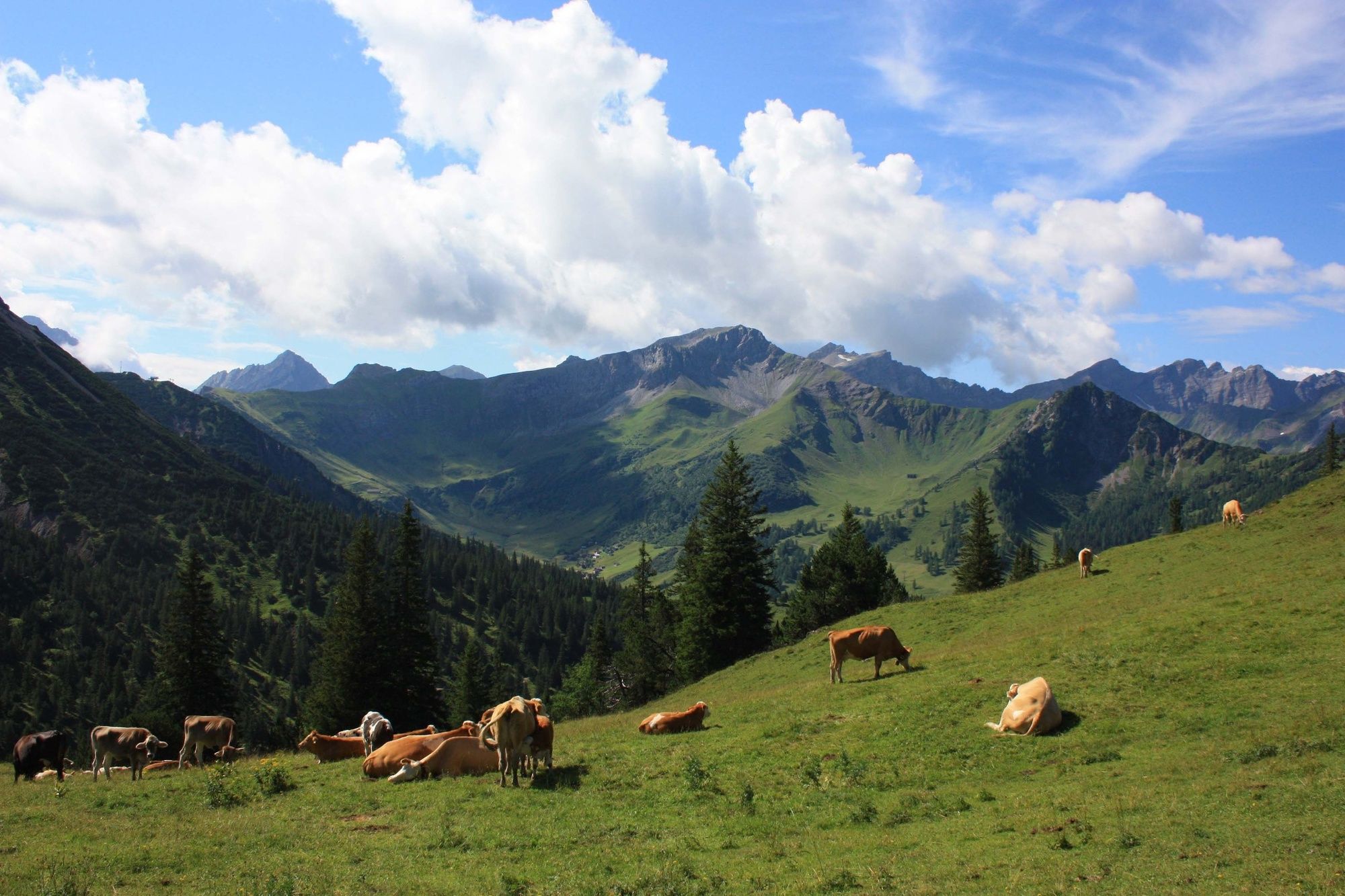
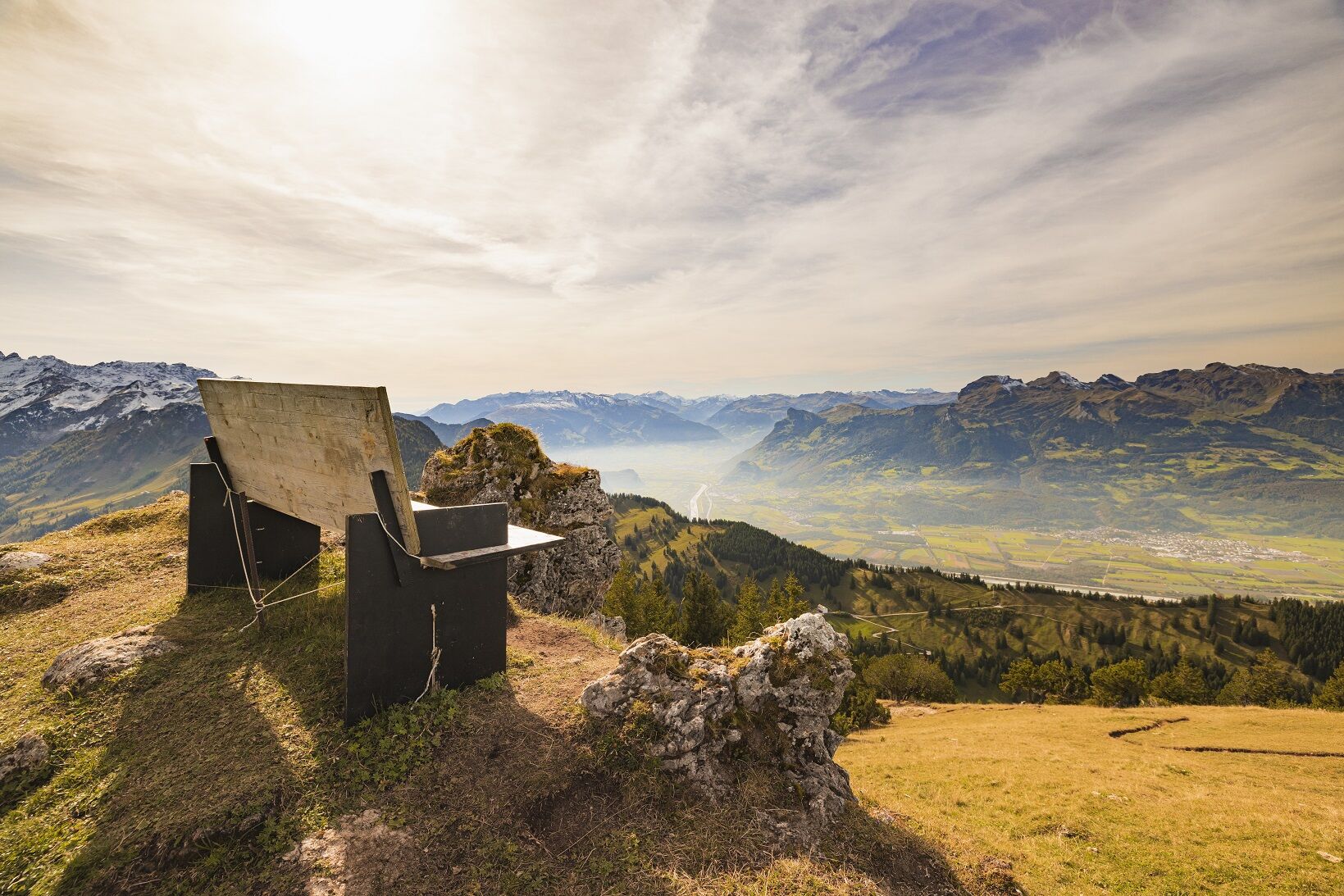
«One of the most beautiful, easiest high altitude hikes of the Rätikon, specially recommended in June and the beginning of July (flowering season)» (W. Flaig). The superb location amidst the Liechtenstein Alps, the breathtaking views of the surrounding mountains and the easy ascent turn the Schönberg mountain into a popular hiking destination.
- Stopień trudności
-
średni
- Ocena
-
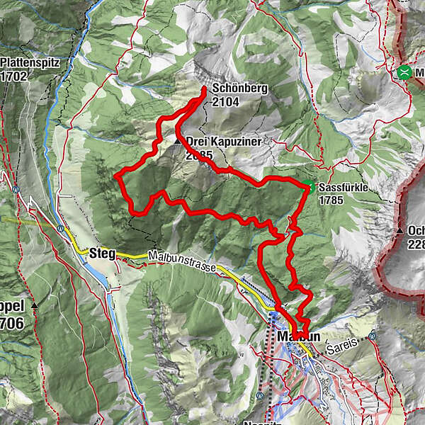
- Trasa
-
Malbun0,1 kmSassfürkle (1.785 m)2,8 kmDrei Kapuziner (2.085 m)4,9 kmSchönberg (2.104 m)5,7 kmMalbun12,4 km
- Najlepszy sezon
-
stylutmarkwimajczelipsiewrzpaźlisgru
- Najwyższy punkt
- 2.091 m
- Miejsce docelowe
-
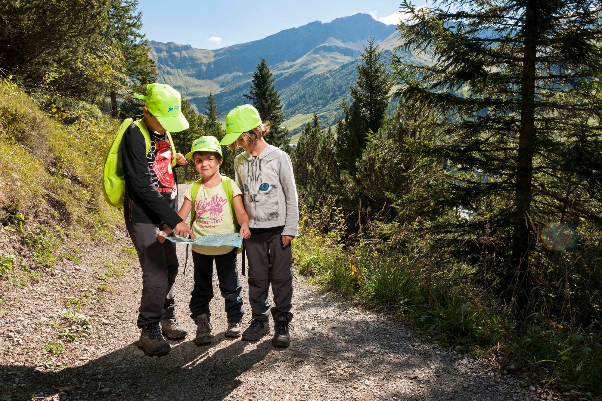
Malbun
- Profil wysokości
-
 © outdooractive.com

-

-
AutorWycieczka From Malbun to Schönberg mountain jest używany przez outdooractive.com pod warunkiem.
GPS Downloads


Informacje ogólne
Flora
Obiecujący
Więcej wycieczek w regionach
-
Heidiland
2205
-
Liechtenstein
1290
-
Malbun
308


