

© Liechtenstein Marketing


© Liechtenstein Marketing


- Krótki opis
-
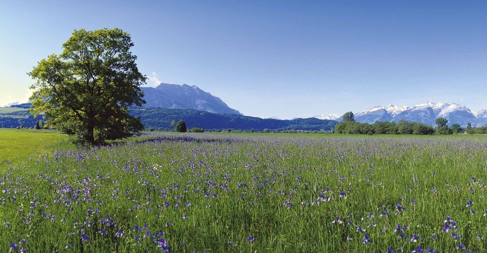
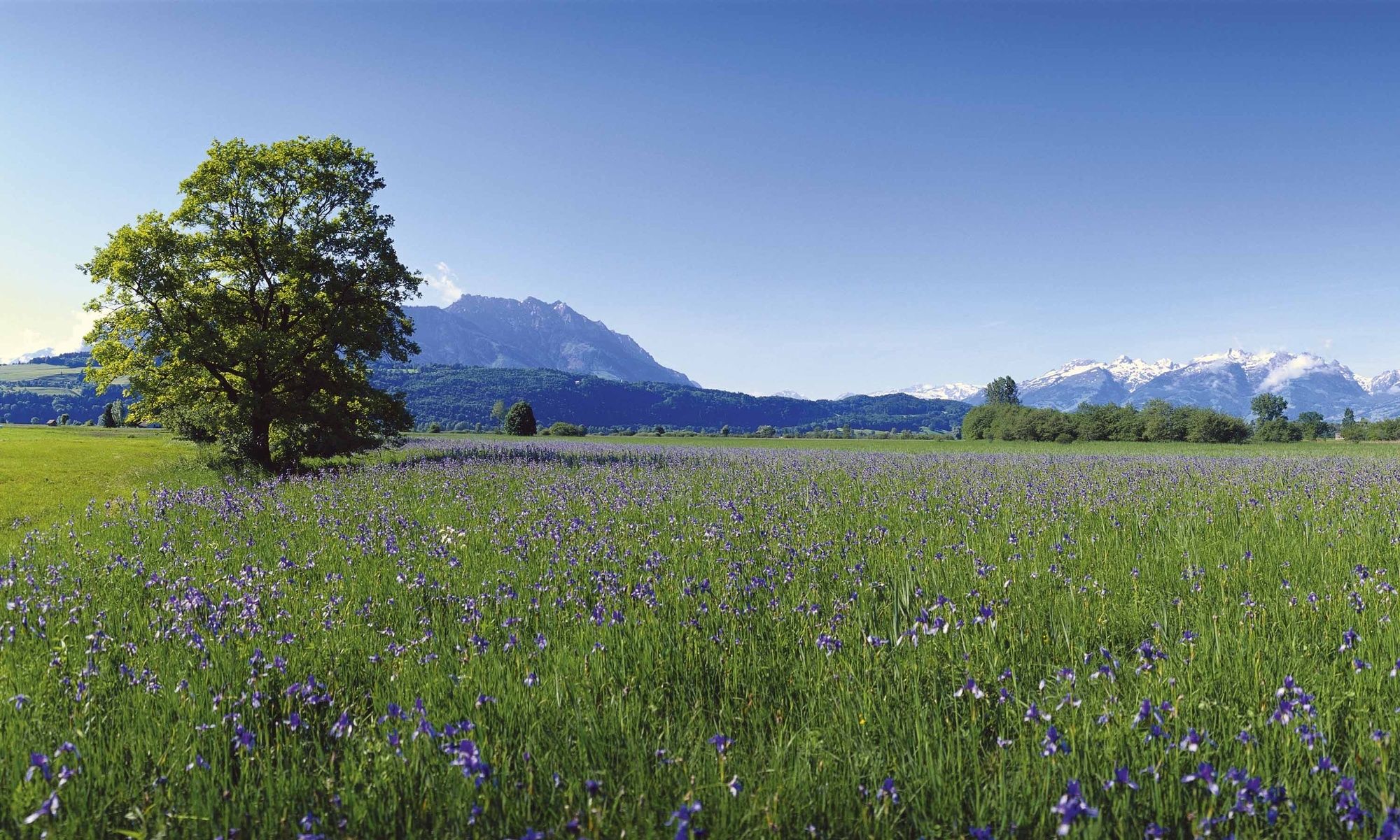
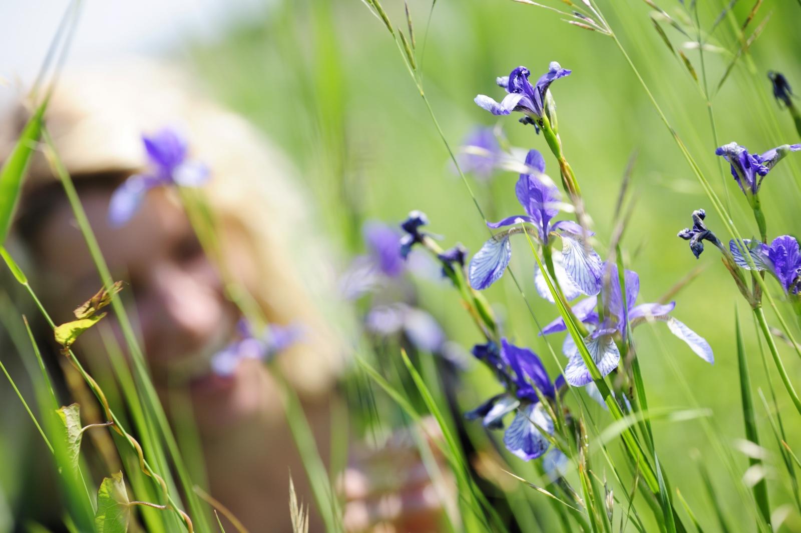
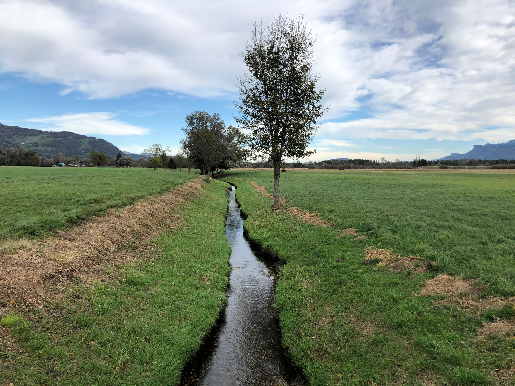
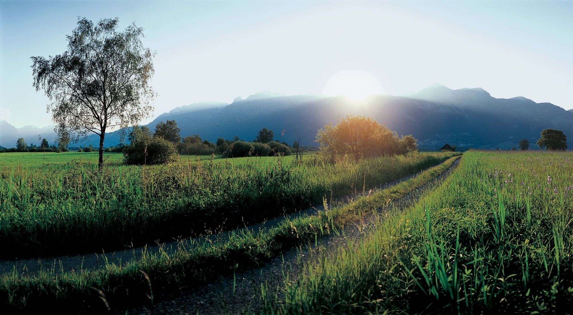
The Ruggeller Riet forms – together with the Bangser Riet in neighbouring Vorarlberg – a magnificent wetland landscape.
- Stopień trudności
-
łatwe
- Ocena
-
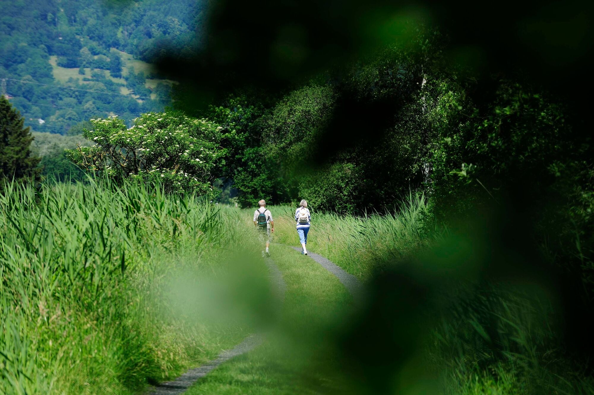
- Trasa
-
Ruggell (433 m)Feldkirch3,0 kmRuggell (433 m)10,5 kmRestaurant Tang10,6 km
- Najlepszy sezon
-
stylutmarkwimajczelipsiewrzpaźlisgru
- Najwyższy punkt
- 441 m
- Miejsce docelowe
-
Ruggell
- Profil wysokości
-
 © outdooractive.com


-

-
AutorWycieczka Around the Ruggeller Riet jest używany przez outdooractive.com pod warunkiem.
GPS Downloads


Informacje ogólne
Przystanek odświeżania
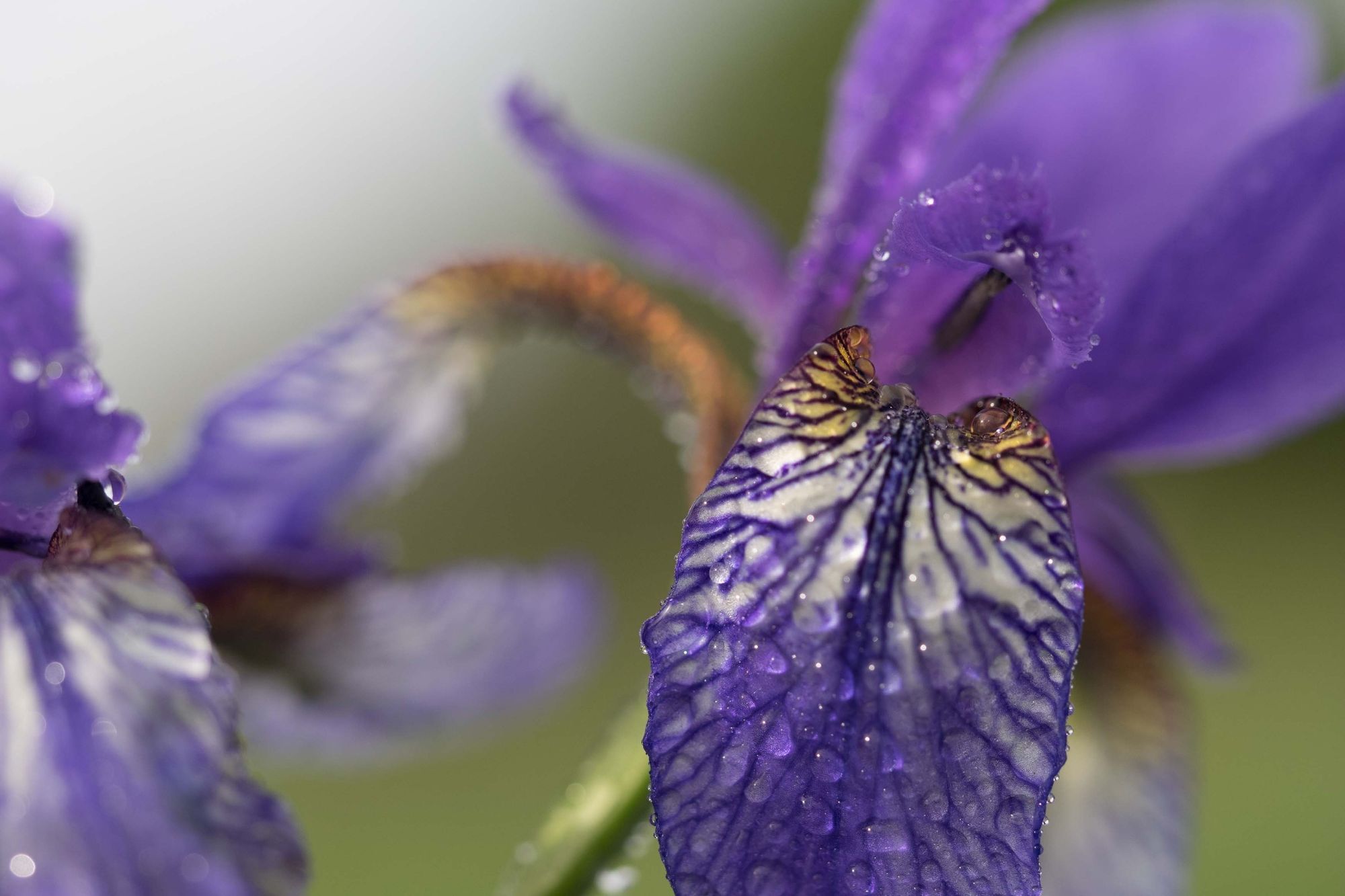
Flora
Fauna
Więcej wycieczek w regionach
-
Appenzellerland
1955
-
St. Galler Rheintal
1333
-
Schellenberg
297


