


From Plessis-Bourré to the Lower Anjou Valleys
Poziom trudności: T1
Tourist attractions
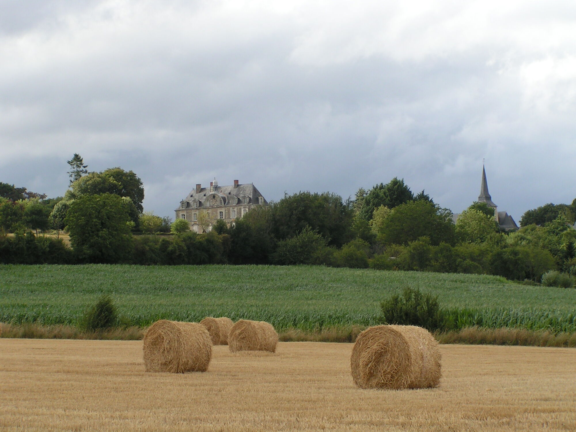
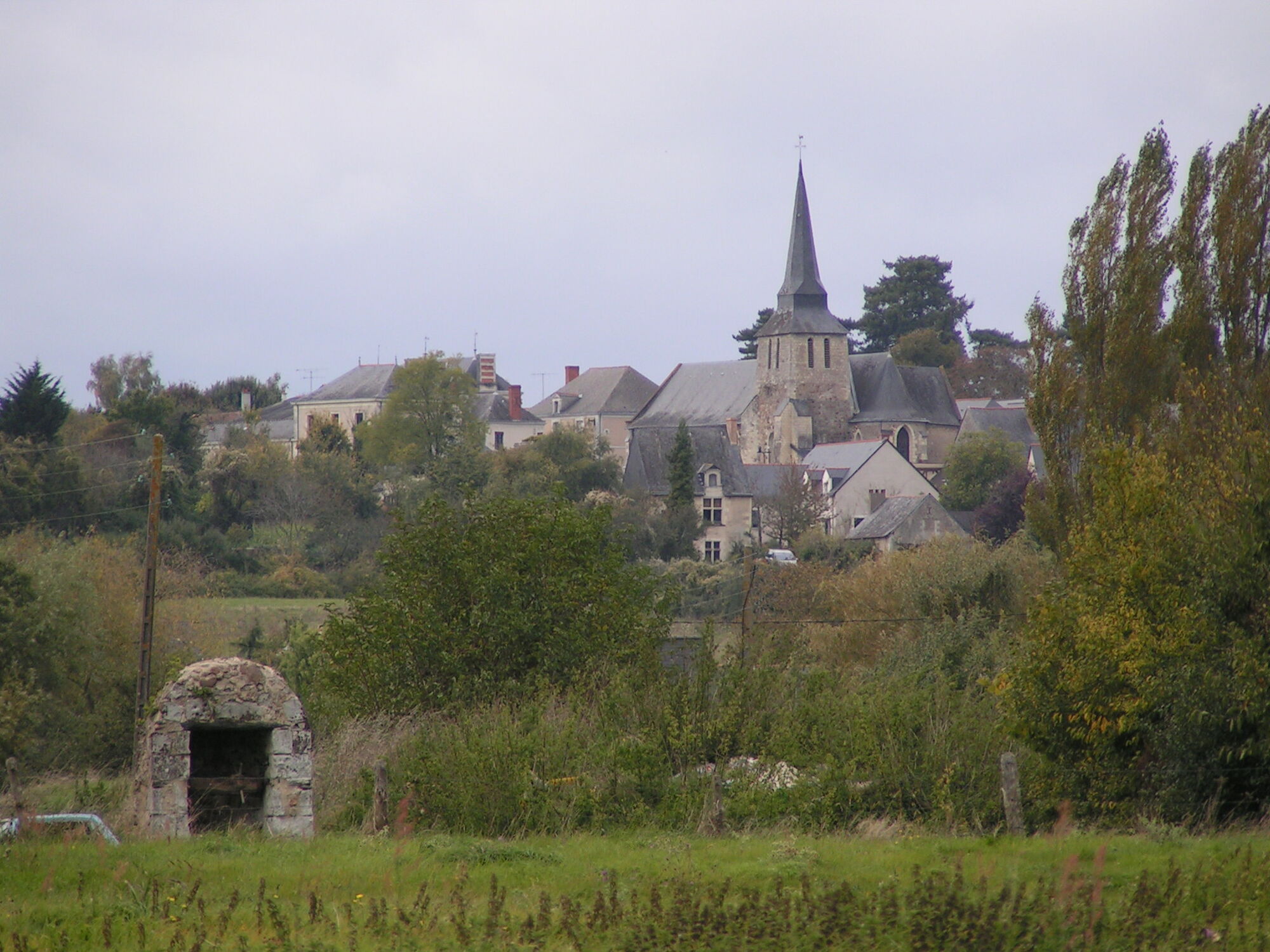
- The Château du Plessis-Bourré in Écuillé is unusual in that it is built in the "Transition" style. It has the characteristics of a late medieval fortress with its defense system, but...
- The Château du Plessis-Bourré in Écuillé is unusual in that it is built in the "Transition" style. It has the characteristics of a late medieval fortress with its defense system, but also the elegance of the Renaissance. The château was used as a film location for "Peau d'Âne" and "Fanfan la tulipe".
Starting points
- Salle Éric Tabarly parking lot, chemin du Cassoir, Soulaire-et-Bourg
- Parking du Pré Long, Écuillé
Practical information
- This trail is not passable during periods of flooding.
Trail marked in mauve. The part of the trail north of Écuillé is not marked.


Route marked in purple. The part of the trail north of Écuillé is not marked.
Angers and its surroundings, rich in confluence landscapes, are sometimes subject to flood risks throughout the year. Some trails may be temporarily impassable, remain vigilant.
In case of emergency, dial 112.
Consider carpooling.
Parking near the starting point.
T1
Be vigilant, especially when crossing or walking alongside roads, but also at all times in nature. It can sometimes present dangerous passages, flooded areas, steep sites, or slippery paths.
Follow marked paths to avoid getting lost and to limit soil and natural habitat erosion. Pay attention to markings, and if in doubt, do not hesitate to turn back.
Do not pick protected species and remain discreet so as not to disturb wildlife.
Some trails are used by cyclists, be careful.
This route and the associated GPX track may in no case be shared without mentioning Destination Angers.
Popularne wycieczki w okolicy
Lake, pond and tributary
światłoWędrówka 18,5 kmMayenne loop
światłoJazda na rowerze 25,5 kmThe Loir Valley by bike - from Rives-du-Loir-en-Anjou to Angers
światłoJazda na rowerze 32,0 kmBanks of the Loir circuit
światłoWędrówka 8,87 kmThe Sarthe towpath and sandpits
światłoWędrówka 8,05 kmThe Mayenne river and meadows in the low valleys of Angers
światłoWędrówka 17,4 kmMarcillé plateau to the towpath
światłoWędrówka 13,8 kmMotte and bailey castle to the vineyards, via the conservatory orchard
światłoWędrówka 19,9 kmThe castles circuit
światłoWędrówka 7,63 kmThe Aprilis trail
światłoWędrówka 12,2 km
Wędrówki i tropienie


Nie przegap ofert i inspiracji na następne wakacje
Twój adres e-mail została dodana do listy mailingowej.