


The Aprilis trail
Poziom trudności: T1
Tourist attractions :
- Domaine de la Perrière is known for its 18-hole golf course, but it is above all a XVIIᵉ century château and a large orchard. Classified as a Historic Monument since 1983, it now...
- Domaine de la Perrière is known for its 18-hole golf course, but it is above all a XVIIáµ century château and a large orchard. Classified as a Historic Monument since 1983, it now houses a restaurant and function rooms.
- "The green belt" embodies the desire to limit urbanization of the commune to protect the quality of life of its inhabitants.
- The "Poumons Verts" park features a pond, the Château de la Boissière and magnificent large trees.
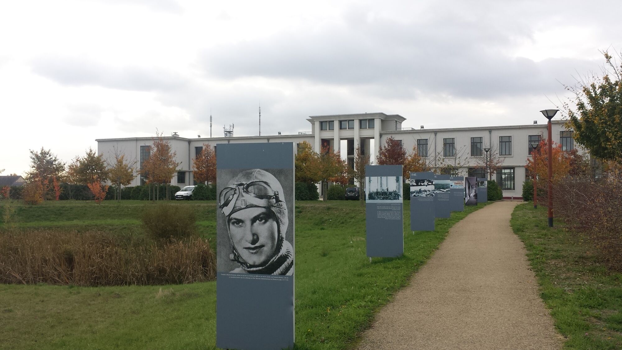
- The Maison de l'Architecture des territoires et des paysages, located on the former airfield, was built to house the Compagnie Française d'Aviation flying school in the late 1930s.
- Terra Botanica, the only park in France and Europe dedicated to plants, is in Angers. From extraordinary gardens to tropical greenhouses, you and your family embark on a unique sensory journey, to see over 500,000 plants from all over the world.
Facilities available:
- Picnic tables in Parc des Poumons Verts and Parc Georges Brassens
Departure points :
- Terra Botanica streetcar stop, Angers
- Château de la Perrière parking lot, Avrillé
- Parc des poumons verts, Avrillé
- Parking Salle Lino Ventura, Avrillé
Practical information :
- Bike path
Circuit marked out in mauve.

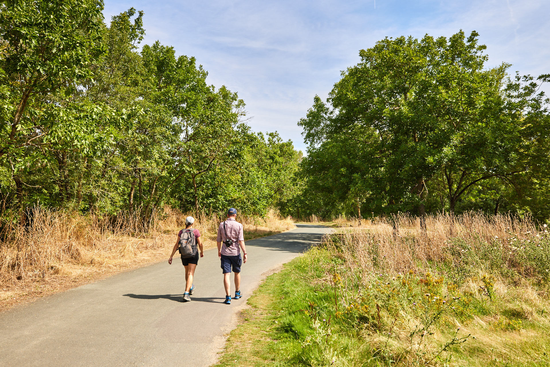

Open route, marked in purple.
Tak
Angers and its surroundings, rich in confluence landscapes, are sometimes subject to flood risks throughout the year. Some trails may be temporarily impassable, remain vigilant.
In case of emergency, dial 112.
Consider carpooling and tramway line A.
Parking near the starting point.
T1
Be careful, especially when crossing or alongside roads, but also at all times in nature. It can sometimes have dangerous passages, flooded areas, steep sites, or slippery paths.
Follow the marked paths to avoid getting lost and to limit soil erosion and damage to natural habitats. Pay attention to the markings and if in doubt, do not hesitate to retrace your steps.
Do not pick protected species and stay discreet to avoid disturbing wildlife.
Some trails are used by cyclists, be vigilant.
This route and the associated GPX track may under no circumstances be shared without mentioning Destination Angers.
Popularne wycieczki w okolicy
- 4,0
The Anjou loop of La Loire à Vélo - with bac de la Chevalerie
światłoJazda na rowerze 39,1 km La Roche de Murs
światłoWędrówka 5,50 kmLake, pond and tributary
światłoWędrówka 18,5 kmTo the confluence of the Loire and the Maine
światłoWędrówka 18,0 kmBucolic walk around Saint-Léger-de-Linières
światłoWędrówka 8,11 kmMayenne loop
światłoJazda na rowerze 25,5 kmThe Loir Valley by bike - from Rives-du-Loir-en-Anjou to Angers
światłoJazda na rowerze 32,0 kmThe Savennières vineyards
światłoWędrówka 9,59 kmBanks of the Loir circuit
światłoWędrówka 8,87 kmThe Sarthe towpath and sandpits
światłoWędrówka 8,05 km

Wędrówki i tropienie


Nie przegap ofert i inspiracji na następne wakacje
Twój adres e-mail została dodana do listy mailingowej.