© Terra Dinarica - Alan Čaplar
© Terra Dinarica - Alan Čaplar
© Terra Dinarica - Alan Čaplar
© Terra Dinarica - Alan Čaplar
© Terra Dinarica - Alan Čaplar
© Terra Dinarica - Alan Čaplar
© Terra Dinarica - Alan Čaplar
© Terra Dinarica - Alan Čaplar
© Terra Dinarica - Alan Čaplar
© Terra Dinarica - Alan Čaplar

- Krótki opis
-
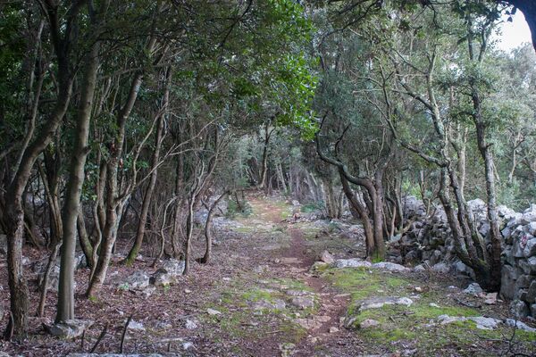
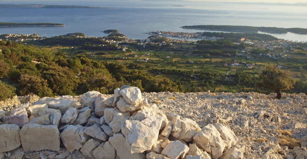
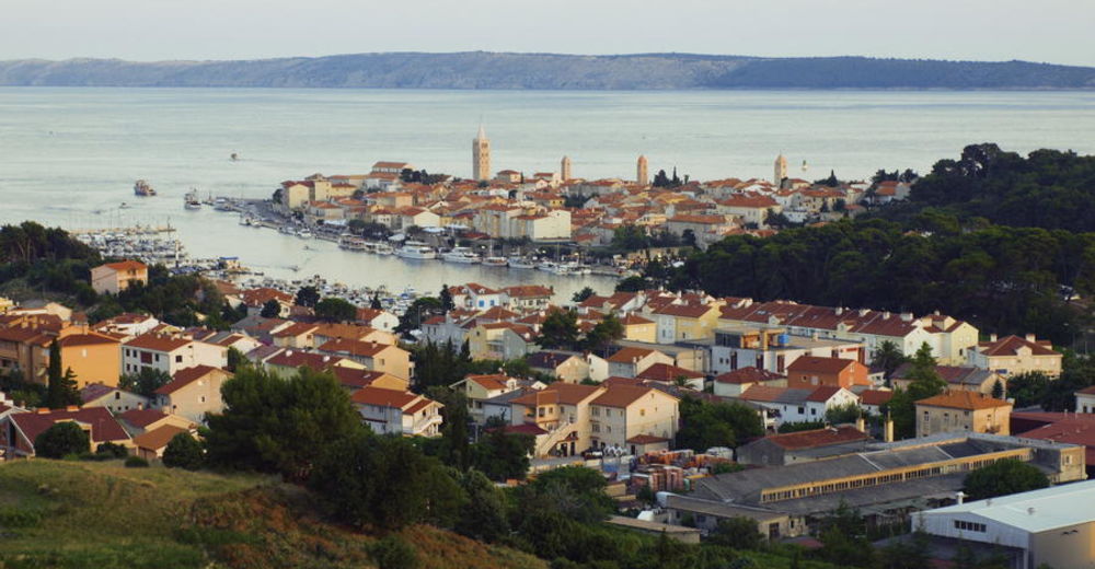
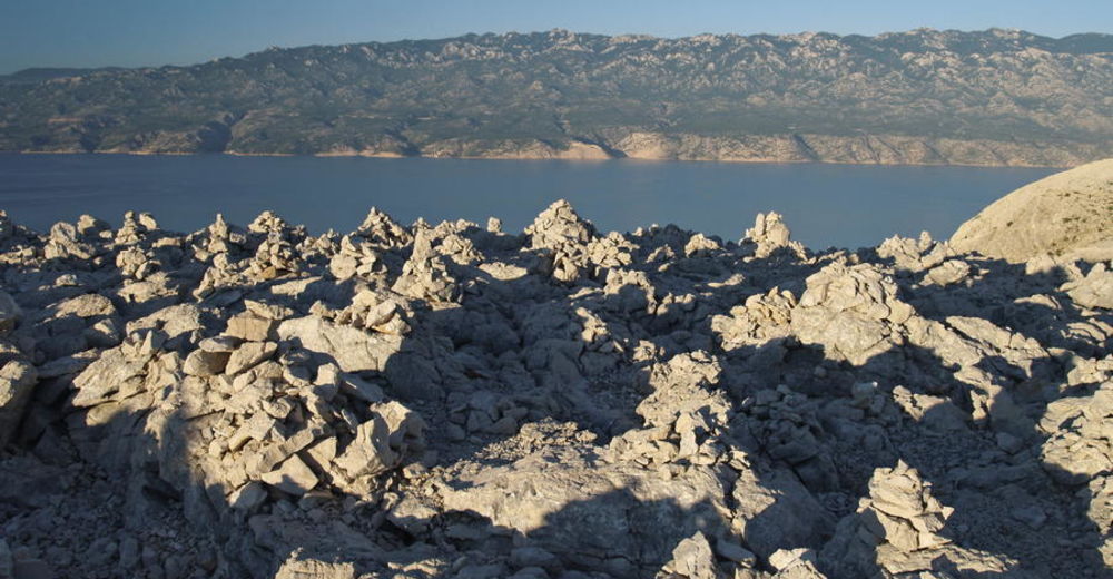
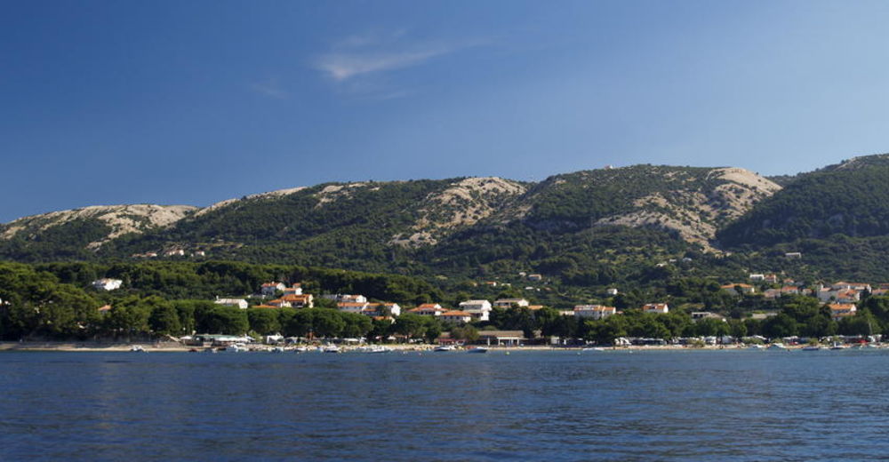
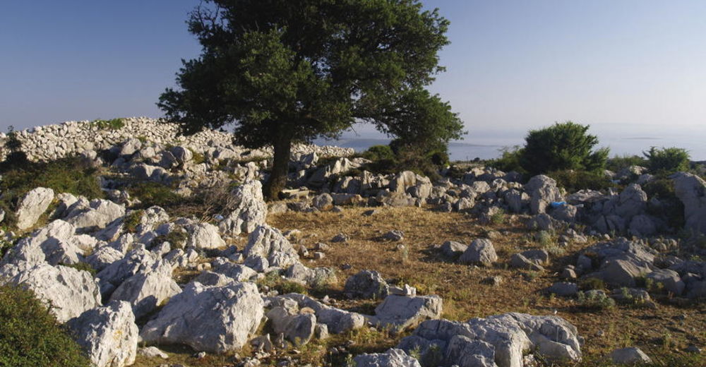
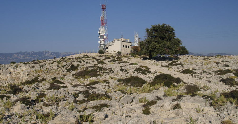
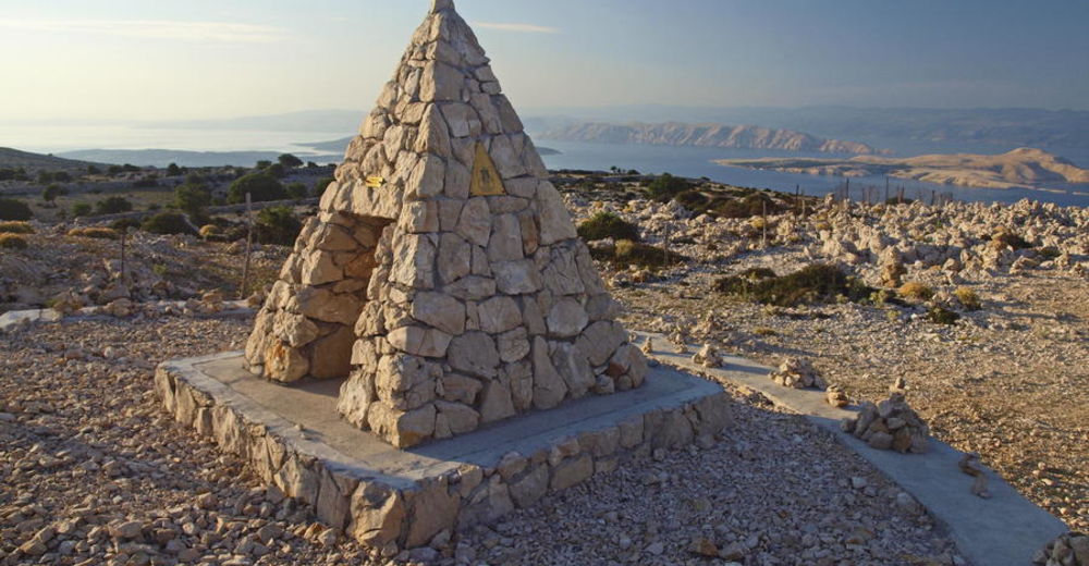
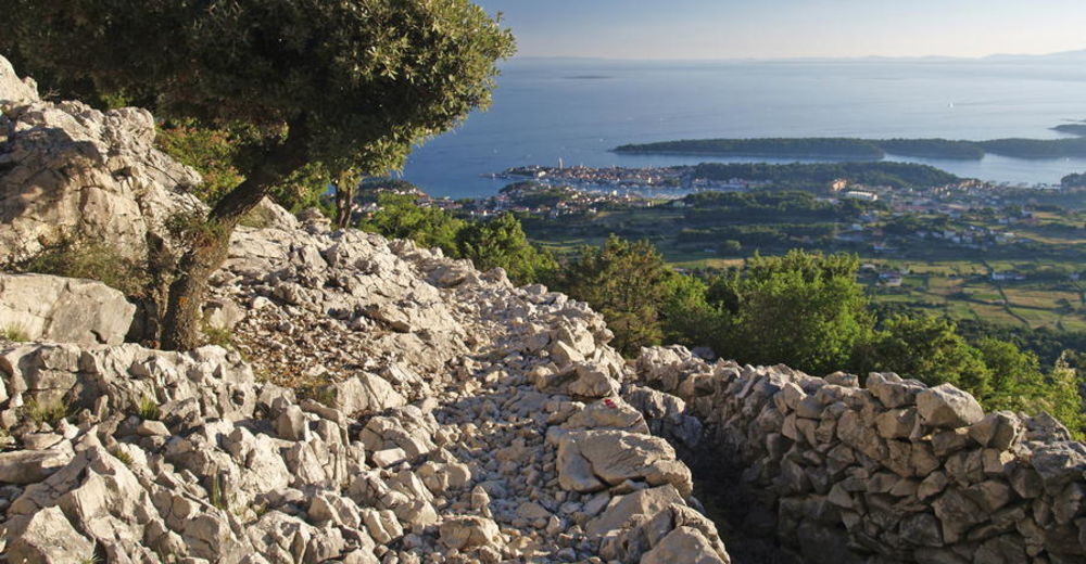
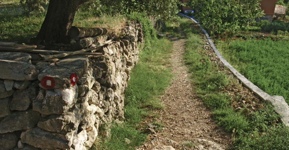
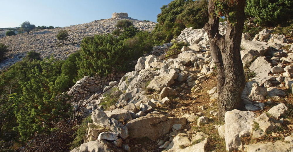
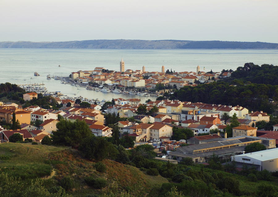
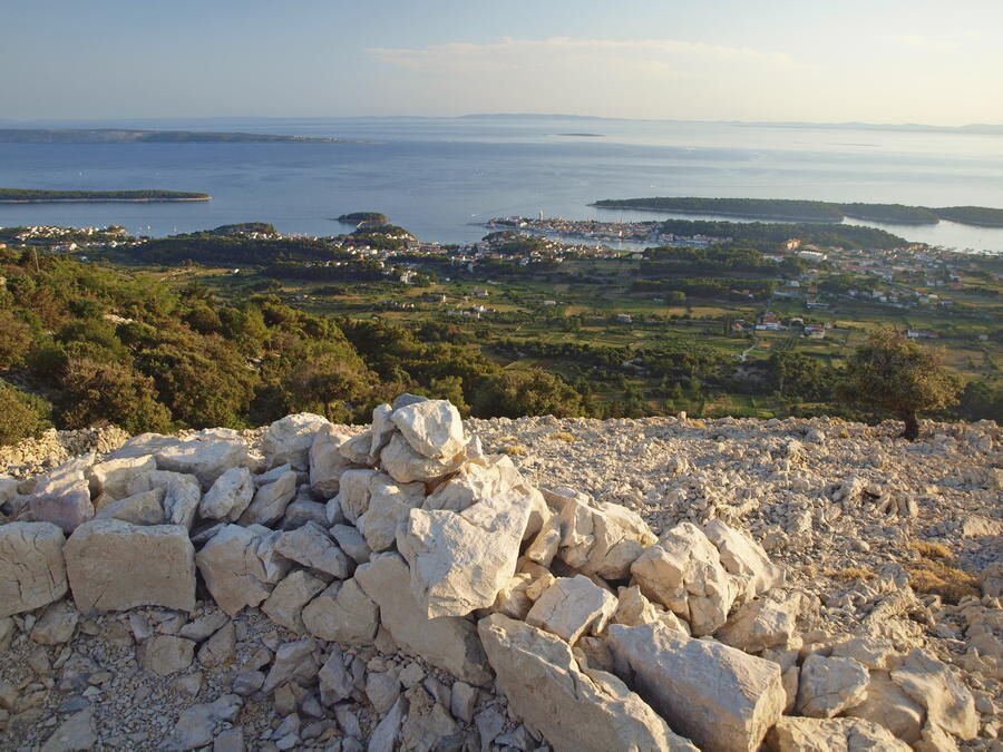
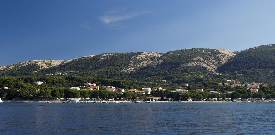
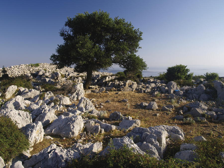
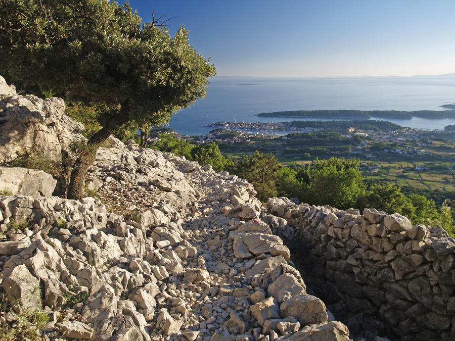
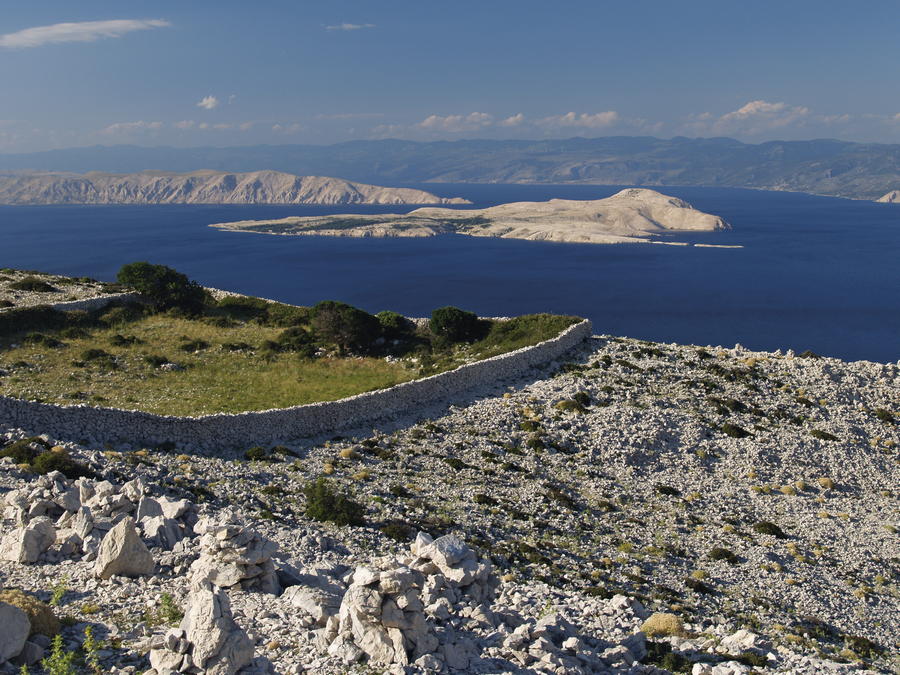
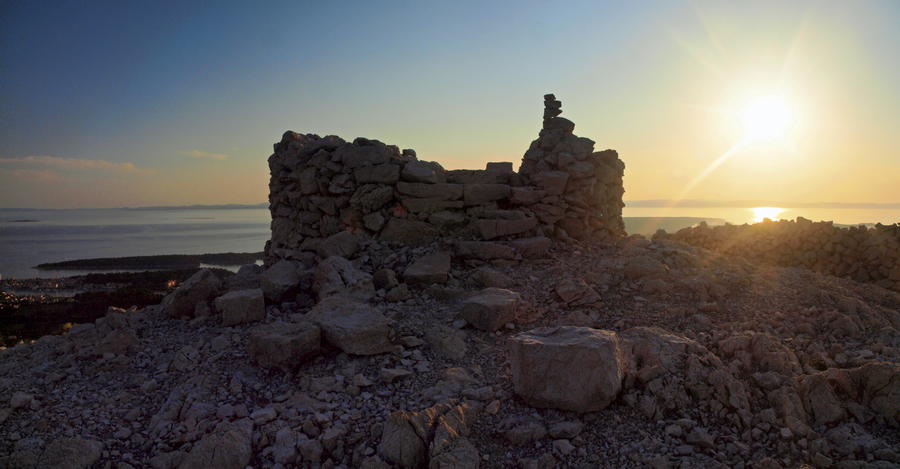
The island of Rab is located between the islands of Krk and Pag, and it offers a magnificent view of Velebit. The surface of the island of Rab is 90.8 square kilometers, and its highest peak is 408 meters above sea level. The rugged ridge of Kanat, over 10 kilometers long, spreads along the northeastern coast of the island as a key feature of the island. Ridge slopes facing the interior of the island are mild, and the slopes facing the channel of Velebitski kanal are bare and steep, partly vertical. When observed from the mainland, this rocky barrier makes one think that Rab is a stony desert; however, there are fertile green fields on the other side of the island. The highest part of the ridge is a wide karst plateau called Kamenjak, crisscrossed by numerous dry stone walls.
- Stopień trudności
-
łatwe
- Ocena
-
- Trasa
-
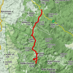
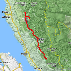
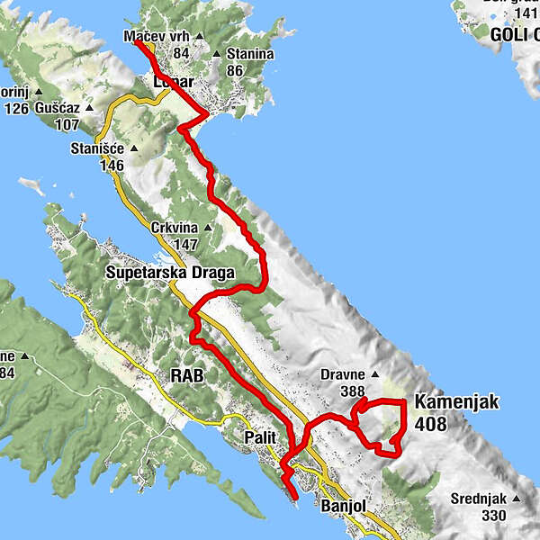
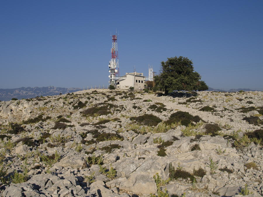
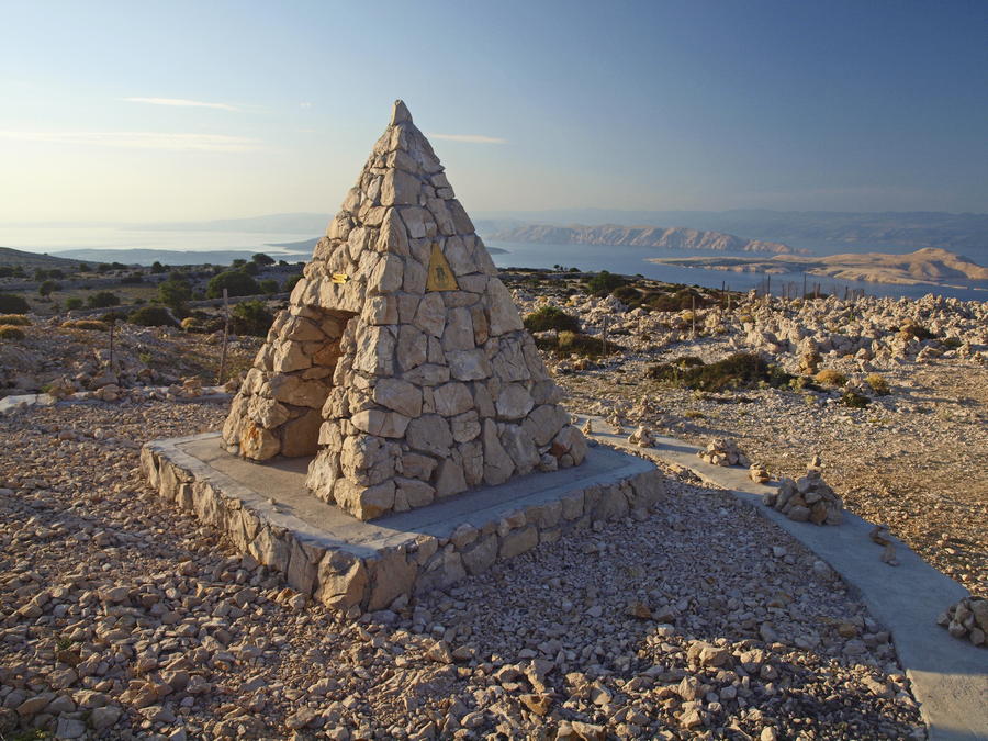
Crkva svetog Ivana Krstitelja1,0 kmLoparo1,2 kmBunići7,8 kmMatkići8,1 kmRak9,1 kmMondanìa12,3 kmVaroš13,8 kmKaldanac14,1 kmArbe14,4 kmMondanìa16,1 kmBarčići16,3 kmIzvor17,9 kmVidilica Tomašić18,3 kmKamenjak (408 m)19,2 kmKamenjak20,3 kmRestaurant Kamenjak20,3 kmRibarići21,0 km
- Najlepszy sezon
-
stylutmarkwimajczelipsiewrzpaźlisgru
- Najwyższy punkt
- 326 m
- Miejsce docelowe
-
Grad Rab (brodom na otog Pag - Lun)
- Profil wysokości
-
 © outdooractive.com


-

-
AutorWycieczka Via Dinarica HR-B-07 Island of Rab jest używany przez outdooractive.com pod warunkiem.