Dane wycieczki
24,45km
697
- 1.084m
745hm
927hm
11:00h

- Krótki opis
-
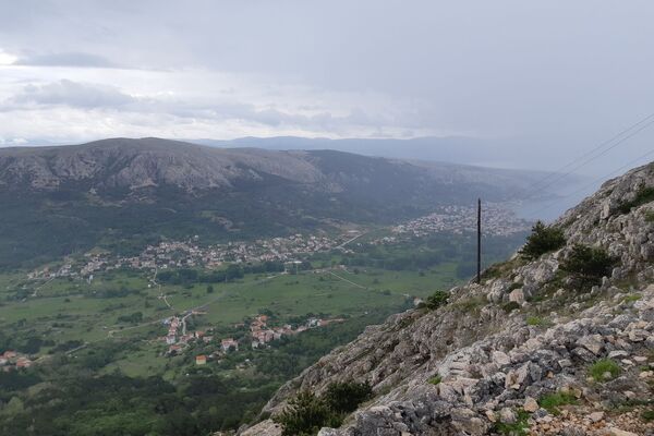
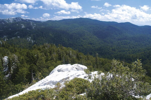
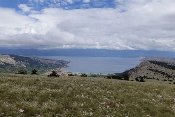
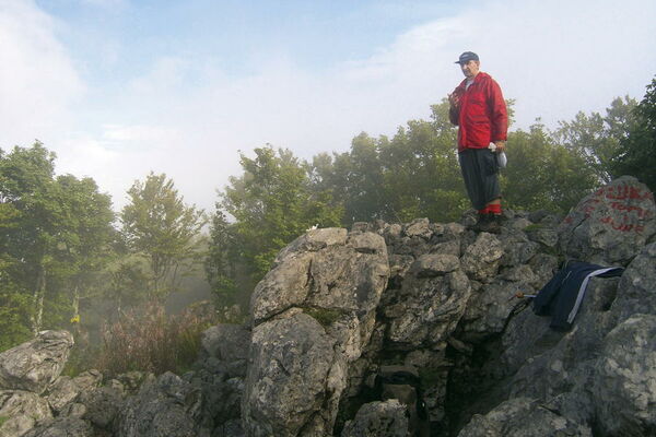
The most interesting phenomenon in this route stage is the group of rocks called Kolovratske stijene, offering a wonderful view towards the sea. The rocks of Kolovratske stijene extend south of the group of Samarske stijene and Bijele stijene, as a solitary ridge on the very edge of Velika Kapela, where the mountain's slopes begin descending towards the sea. The rocky peak area of the ridge of Kolovratske stijene is approximately one kilometer long. Among hikers, Kolovratske stijene are not so well known, since the rocks of Bijele stijene and Samarske stijene are much better known, taller and more beautiful. However, the charm of Kolovratske stijene lies precisely in the fact that they are solitary and close to the sea.
- Stopień trudności
-
średni
- Ocena
-
- Trasa
-
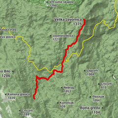
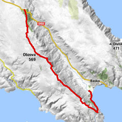
Gorica (1.026 m)11,8 kmAlino bilo (1.106 m)13,7 kmKrivi Put16,0 kmNikolići16,7 kmGornji Veljun19,4 kmVeljun Primorski20,1 km
- Najwyższy punkt
- 1.084 m
- Miejsce docelowe
-
Vratnik
- Profil wysokości
-
© outdooractive.com
-

-
AutorWycieczka Via Dinarica HR-W-08 Connecting trail Kapela - Velebit jest używany przez outdooractive.com pod warunkiem.
GPS Downloads
Więcej wycieczek w regionach
-
Crikvenica
35
-
Senj
7


