


Winter hiking route Tauerntal
Poziom trudności: 1


Easy, particularly scenic hike with a rewarding place to stop!

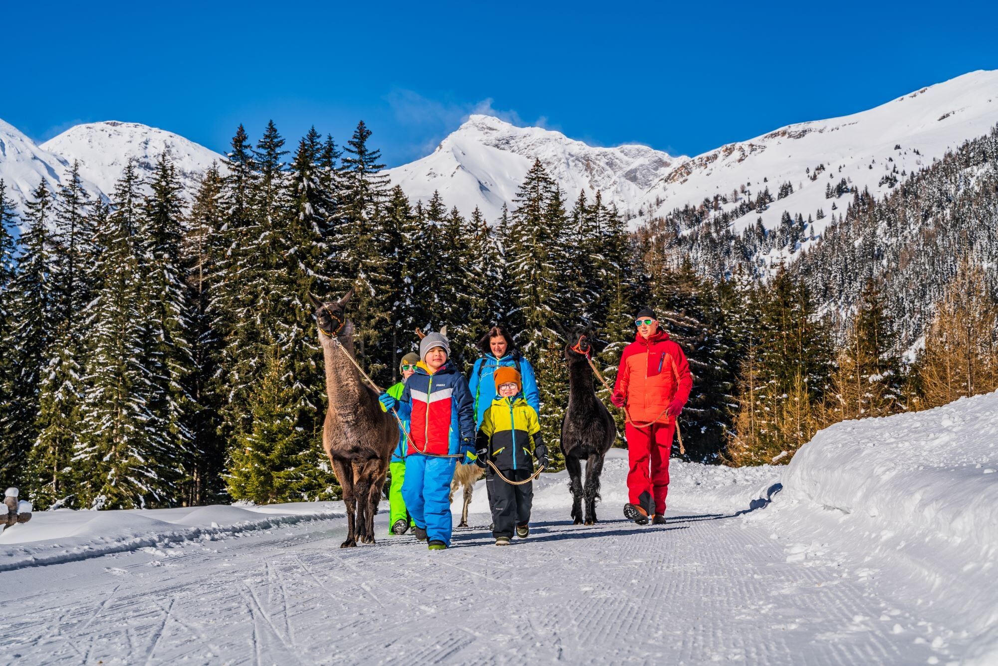
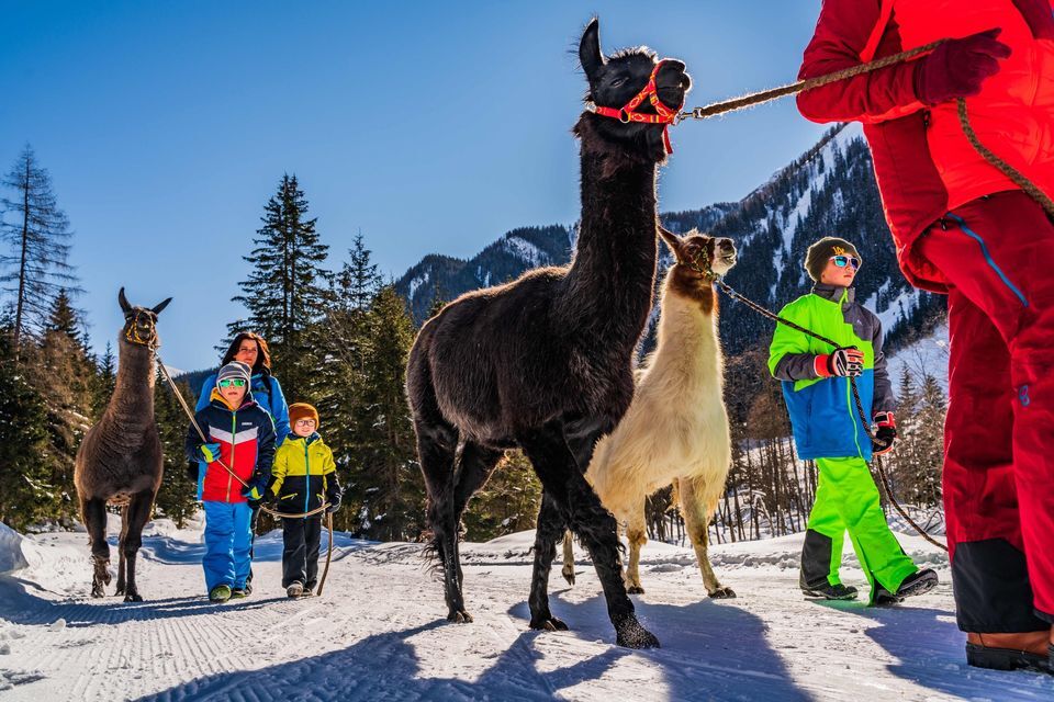
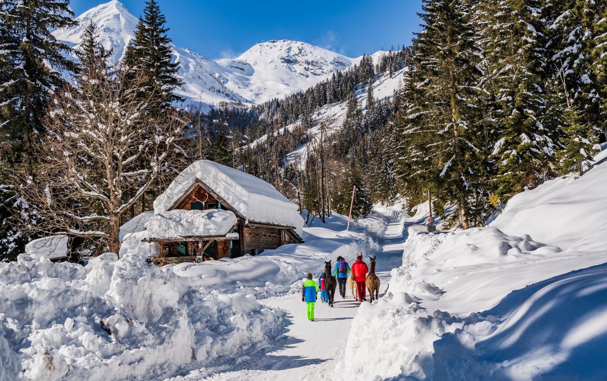
Either from the town center or from the parking lot at the indoor pool along the street to the cattle grid at the edge of town, shortly after Hotel Hubertus. Here, near the picturesque Tauern stream, close to the cross-country ski trail (please do not use the skating track!) to the Alpine guesthouse Gutenbrunn (also accessible by car, parking available) and further on the open alpine meadows to the so-called winter bridge. From here, the rustic Stocker hut can be reached along the cleared road in about 15 minutes. We recommend this "pit stop" and warming up by the open fireplace!
The return path follows roughly the same route as the way out to Gutenbrunn, from here you can return to Mallnitz along the so-called "Ebelingweg" on the summer "Tauerntal valley circuit".
You can also continue the hike directly on the winter hiking route Seebachtal towards the Ankogel cable car.
Tak
Sturdy footwear
Parking directly at Tauernbad (Mallnitz indoor pool), alternatively several parking spaces directly in the town center, paid parking at the Stocker hut.
1
Kamery internetowe z trasy
Popularne wycieczki w okolicy
- 4,7
Hohe Sonnblick Up
ciężkiWędrówka9,14 km - 4,8
Hüttenkogel - Graukogel von der Bergstation
średniWycieczki górskie4,68 km - 4,4
Groppenstein Gorge Obervellach
średniWędrówka2,99 km - 4,6
Mountain route from the Kötschachtal to the natural jewel Reedsee
średniWędrówka12,5 km - 5,0
Rifflscharte - Kolmkarscharte - Bockhartscharte - Sportgastein
średniWędrówka13,5 km - 4,3
"Elendrunde" Kleinelend Valley - Zwischenelendscharte - Großelend Valley
średniWędrówka21,9 km - 4,4
The Glockner cycle route R8
średniJazda na rowerze89,7 km - 4,8
Hoher Sonnblick Skitour über den Südgrat
ciężkiWycieczka narciarska5,49 km - 4,5
Bad Gastein Stubnerkogel-Zittrauer Tisch Rundwanderung
średniWędrówka18,6 km - 4,7
Silberpfennig vom Nassfeld
ciężkiWycieczki górskie15,9 km
Wędrówki i tropienie


Nie przegap ofert i inspiracji na następne wakacje
Twój adres e-mail została dodana do listy mailingowej.