- Krótki opis
-
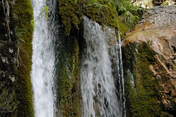
Wonderful perspective
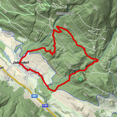
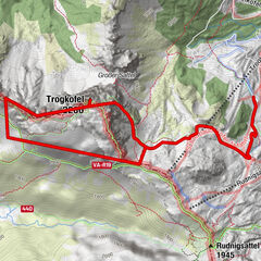
- Trasa
-
Plattner0,0 kmWatschigerAlm0,1 kmKammleiten (1.998 m)2,0 kmGartnerkofel (2.195 m)3,7 kmPlattner6,2 km
- Najwyższy punkt
- 2.163 m
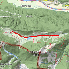
- Profil wysokości
-

- Autor
-
Wycieczka Hiking Tour the the Gartnerkofel jest używany przez outdooractive.com pod warunkiem.
GPS Downloads


Więcej wycieczek w regionach