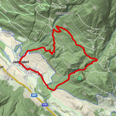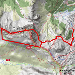

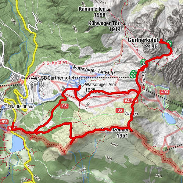
Dane wycieczki
9,26km
1.530
- 2.195m
800hm
800hm
04:00h
- Krótki opis
-
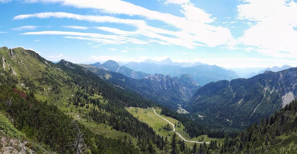
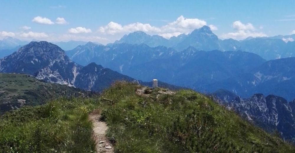
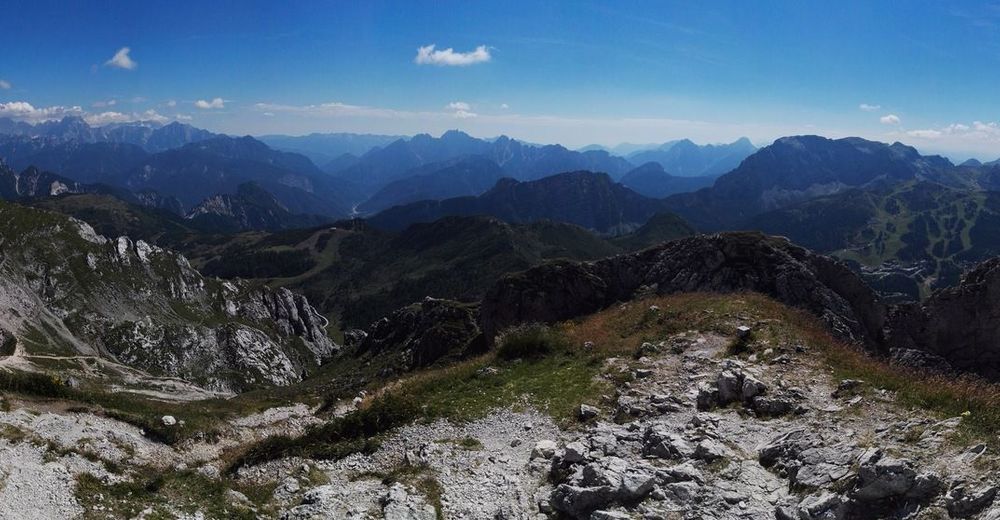
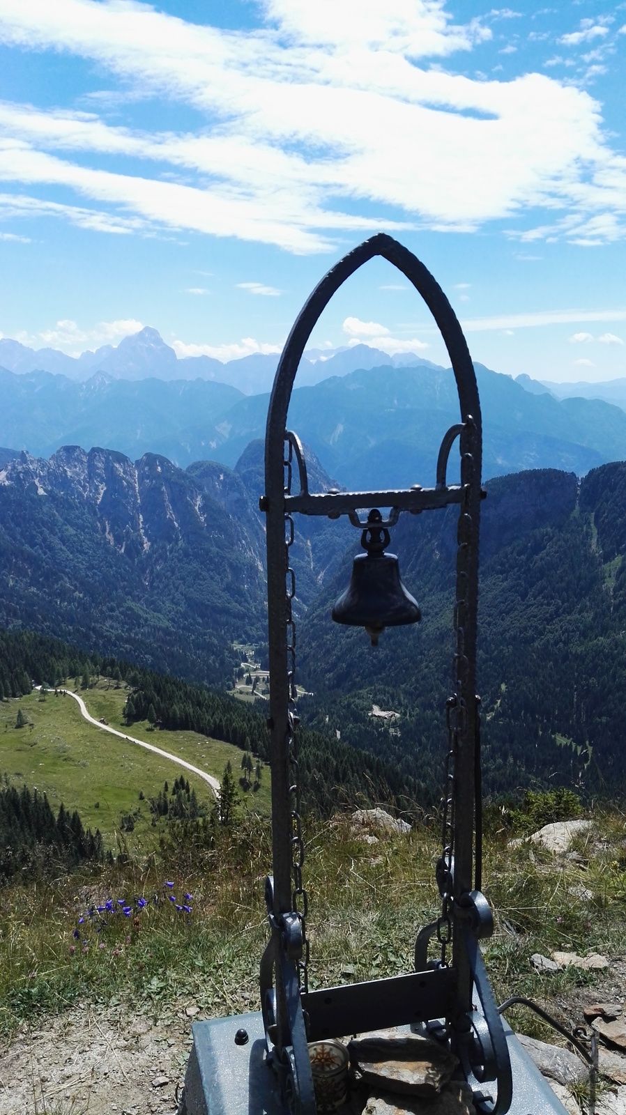
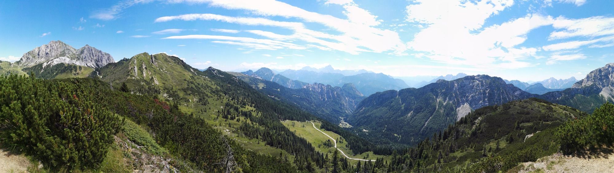
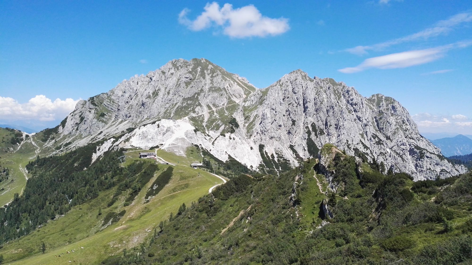
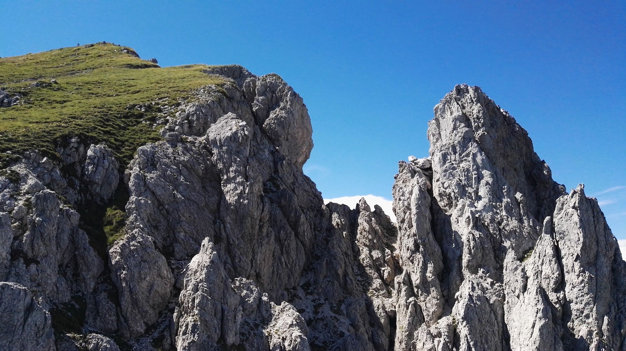
Eine Aussichtsreiche Wanderung am Nassfeld
- Stopień trudności
-
średni
- Ocena
-
- Punkt wyjścia
-
Passhöhe Nassfeld
- Trasa
-
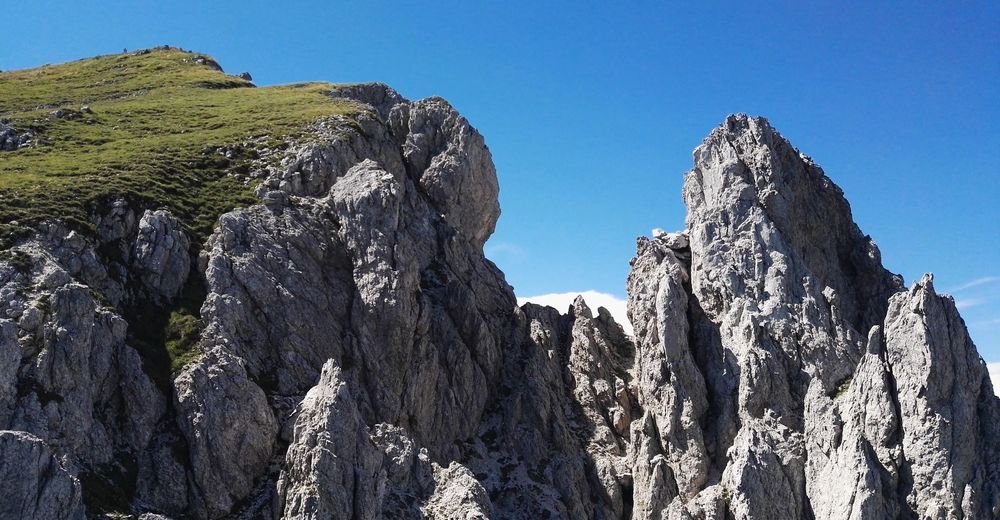
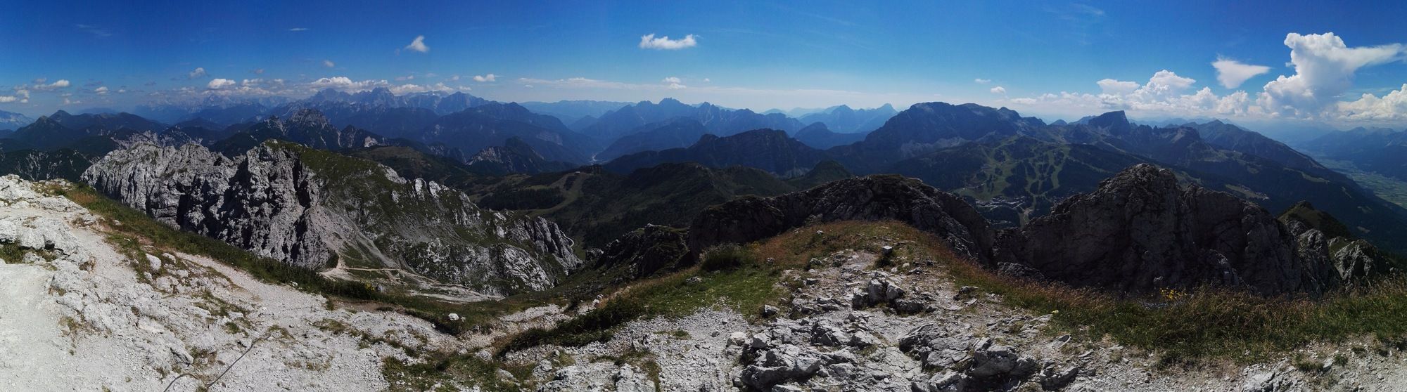
Auernig (1.864 m)1,6 kmAuernig Sattel (1.818 m)2,1 kmGarnitzenberg (1.950 m)2,7 kmGugga (1.928 m)3,0 kmGartnerkofel (2.195 m)4,9 kmWatschigerAlm7,6 kmPlattner7,9 kmSchwefelquelle8,6 km
- Najlepszy sezon
-
stylutmarkwimajczelipsiewrzpaźlisgru
- Najwyższy punkt
- Gartnerkofel (2.195 m)
- Miejsce docelowe
-
Passhöhe Nassfeld
- Odpoczynek/Odosobnienie
-
Watschinger Alm, Plattner
- Mapy
-
BEV-Karte 1:25000, Ausschnitt NL 33-04-16 Ost, Sonnenalpe Nassfeld

GPS Downloads


Warunki na szlaku
Asfalt
Żwir
Łąka
Las
Skała
Wyeksponowany
Więcej wycieczek w regionach