


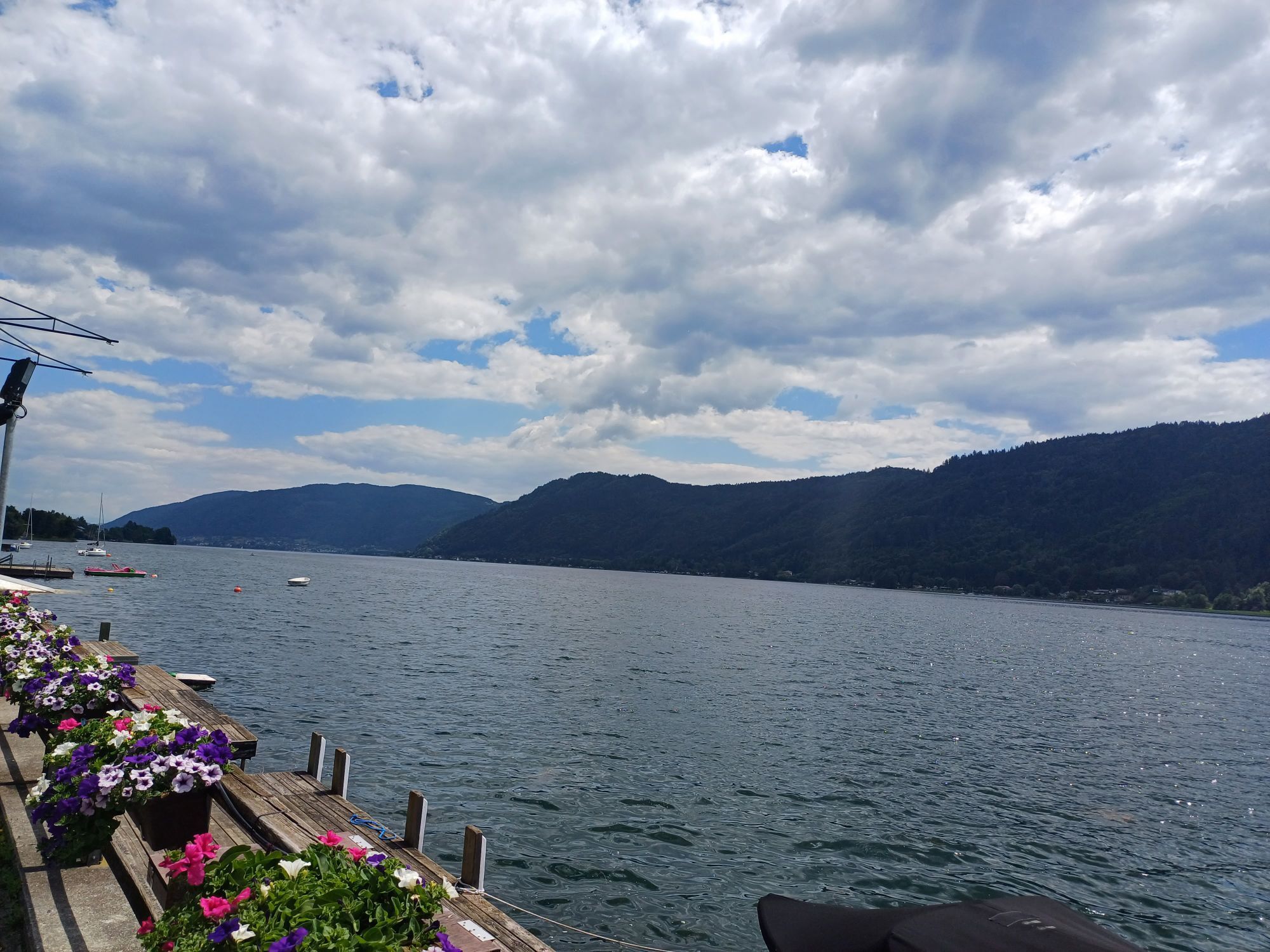
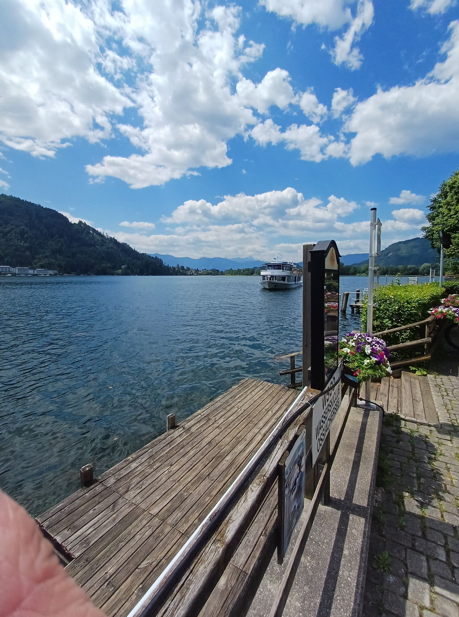
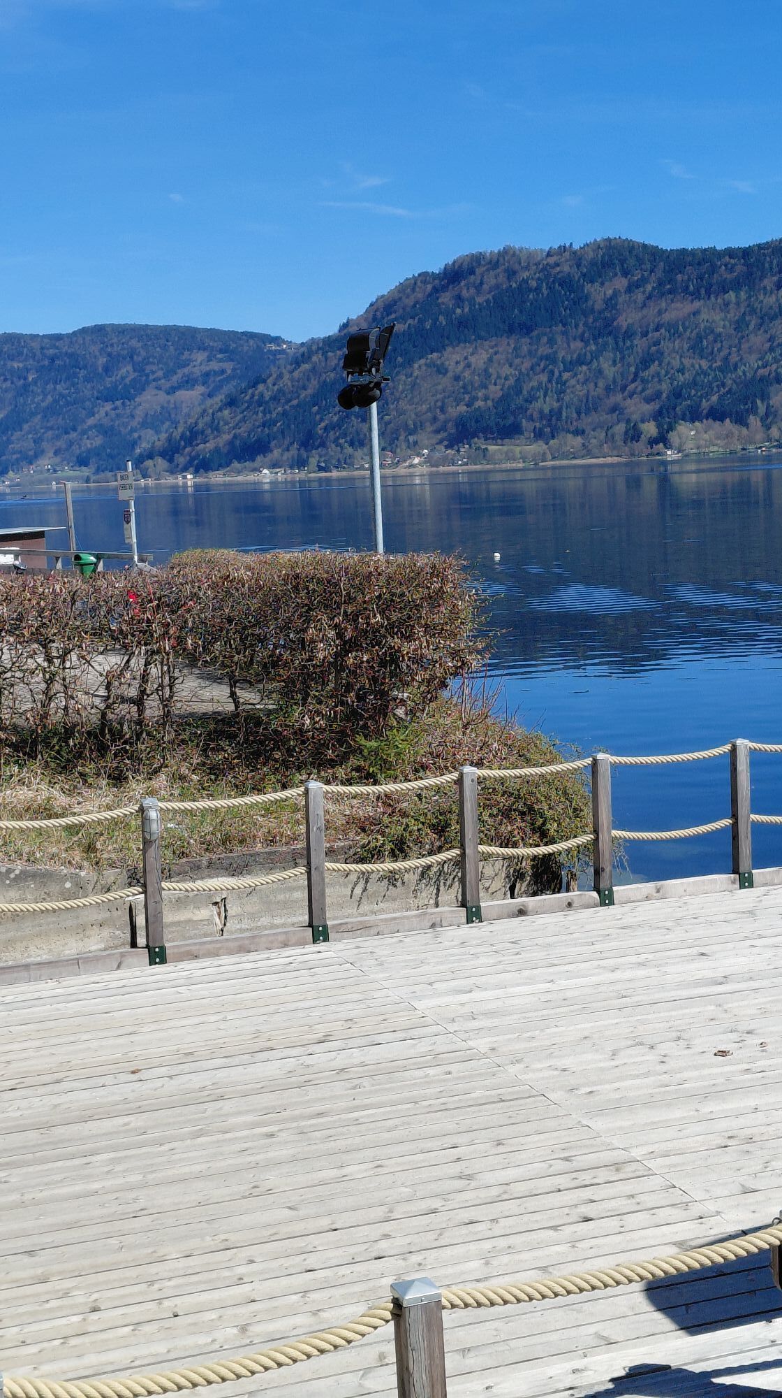
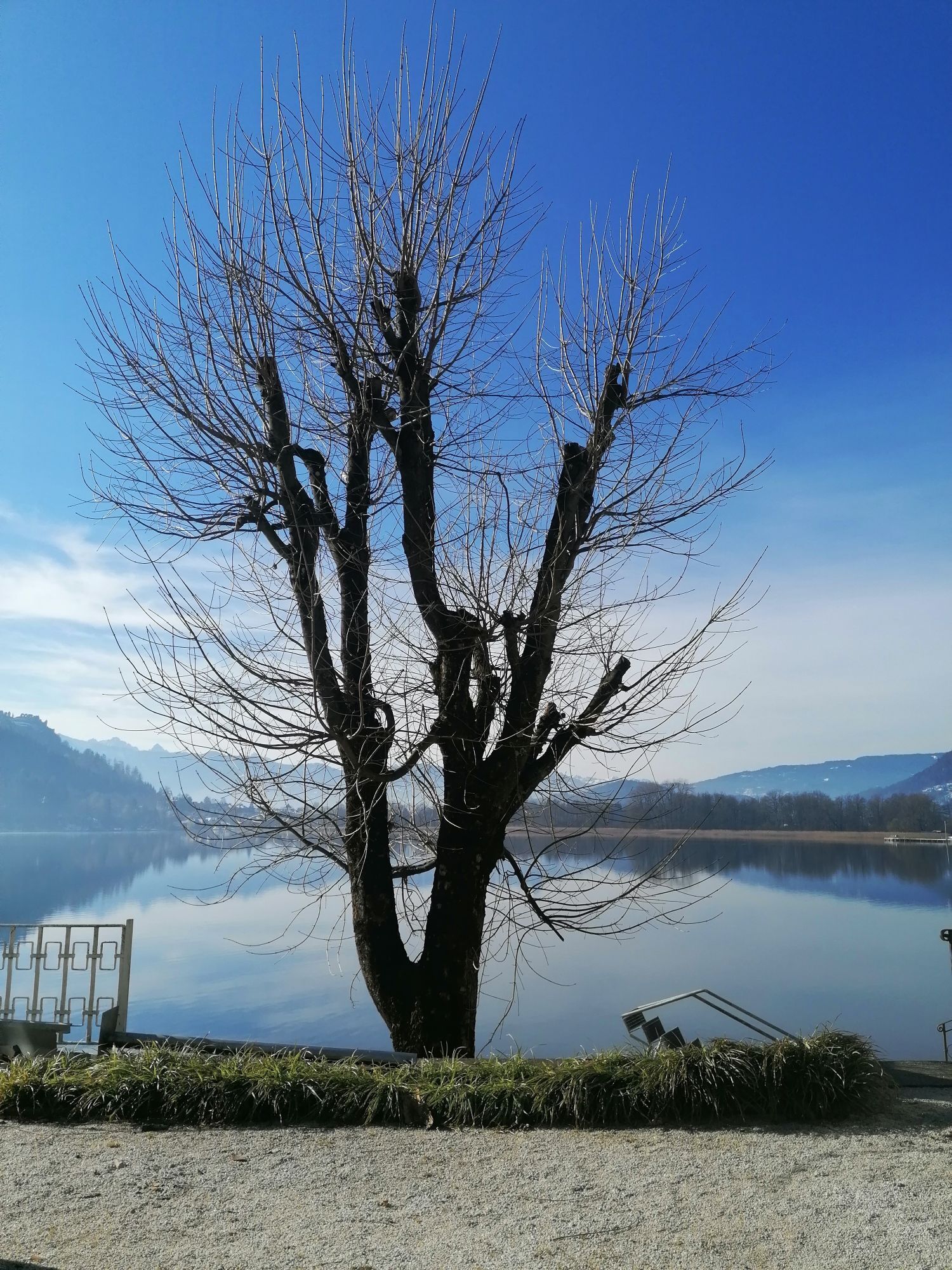
Pleasure gondolas from Kanzelhöhe to Ossiacher See
Poziom trudności: 1

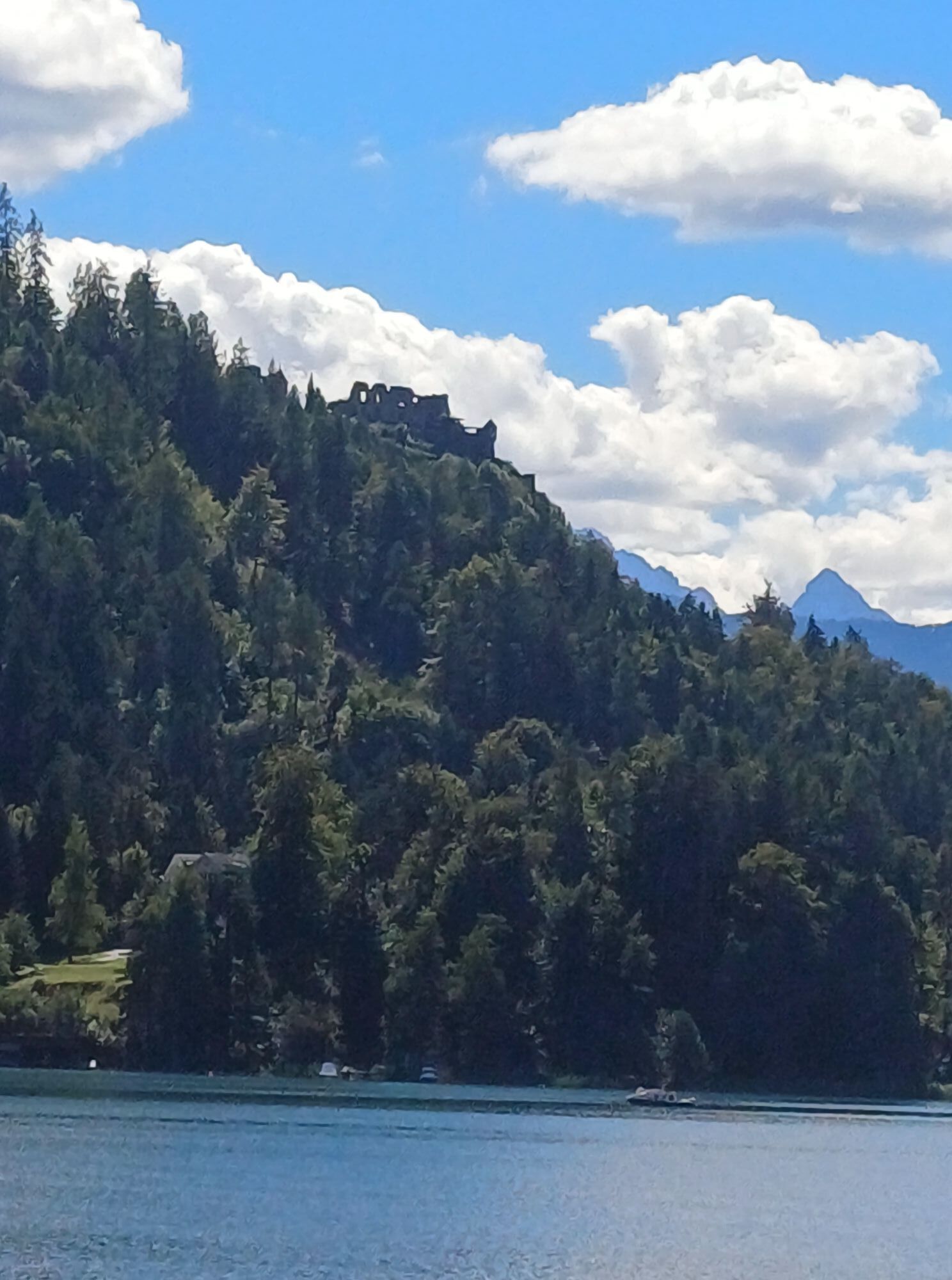

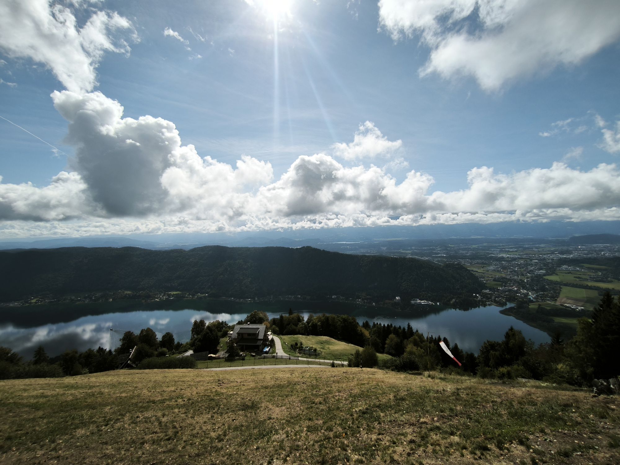


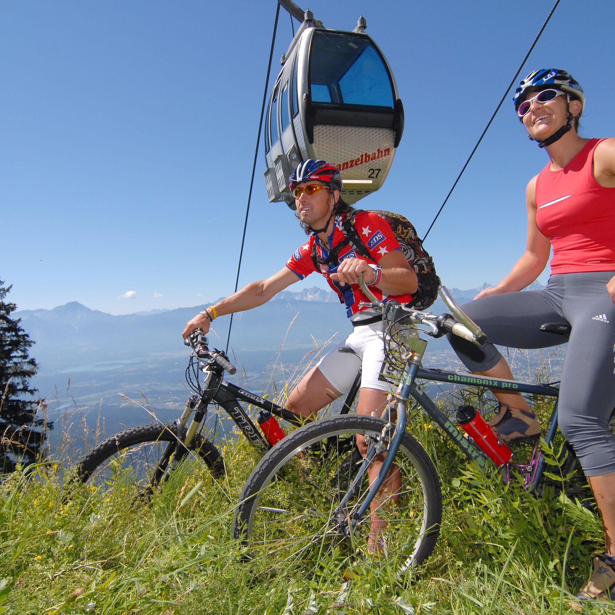
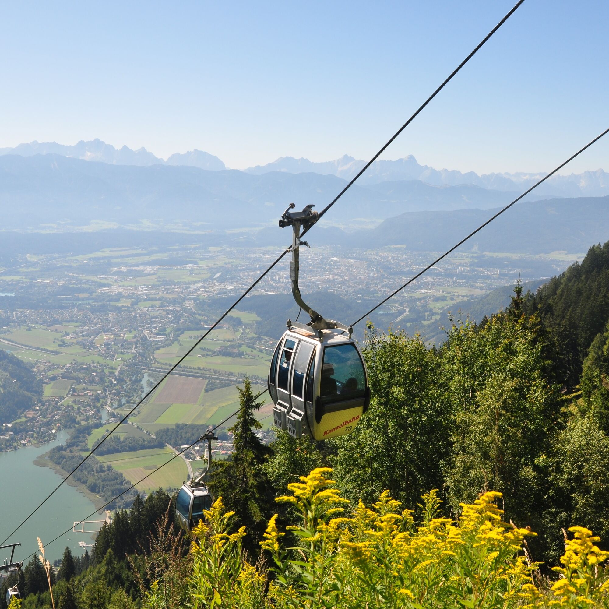
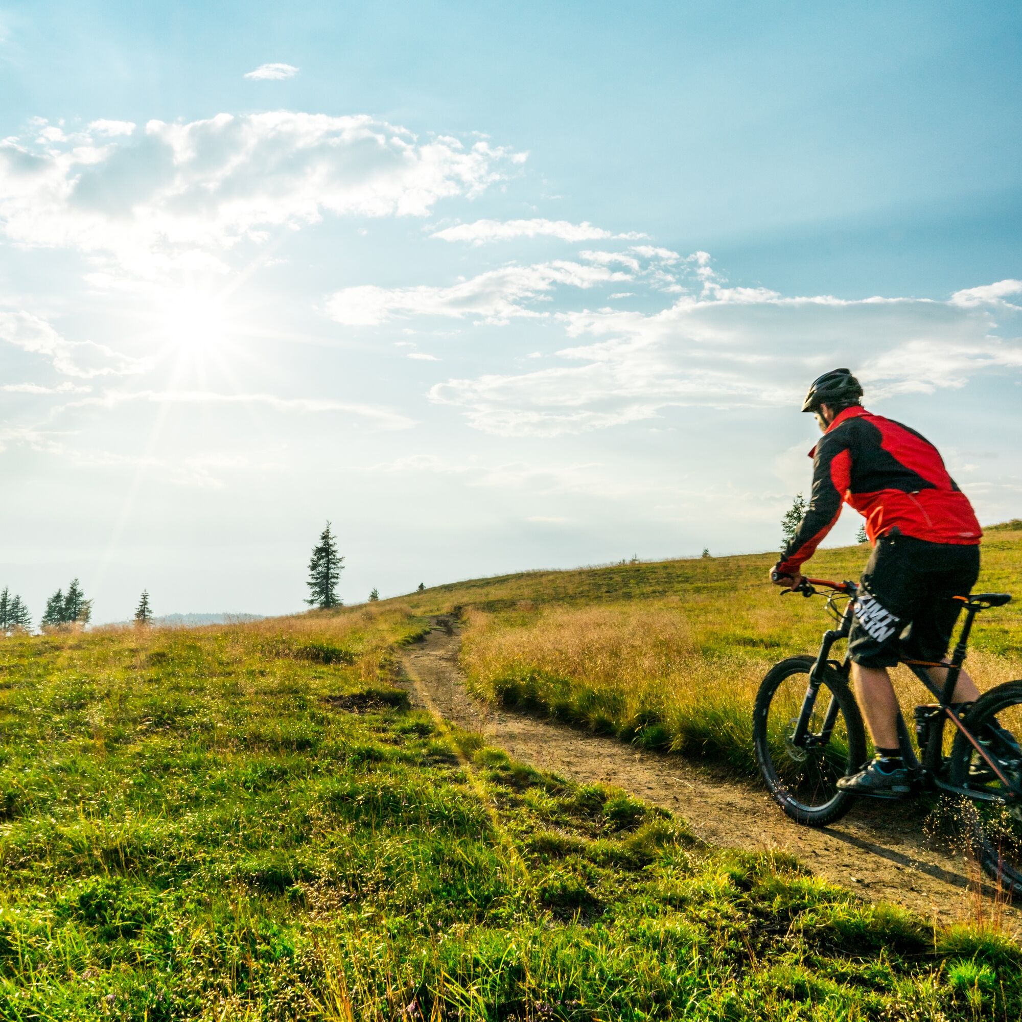
This scenic bike route with cable car ascent (including bike transport) starts at the foot of the Gerlitzen in Annenheim. After purchasing the ticket for the first section plus bike transport, you glide comfortably with the Gerlitzen cable car the approximately 950 scenic meters in elevation up to Kanzelhöhe.
Upon exiting, keep immediately to the left and you will reach the asphalt road leading to the former mountain station Kanzelhöhe. However, after reaching the asphalt road, turn shortly to the right and follow the road to the junction where you meet the toll road.
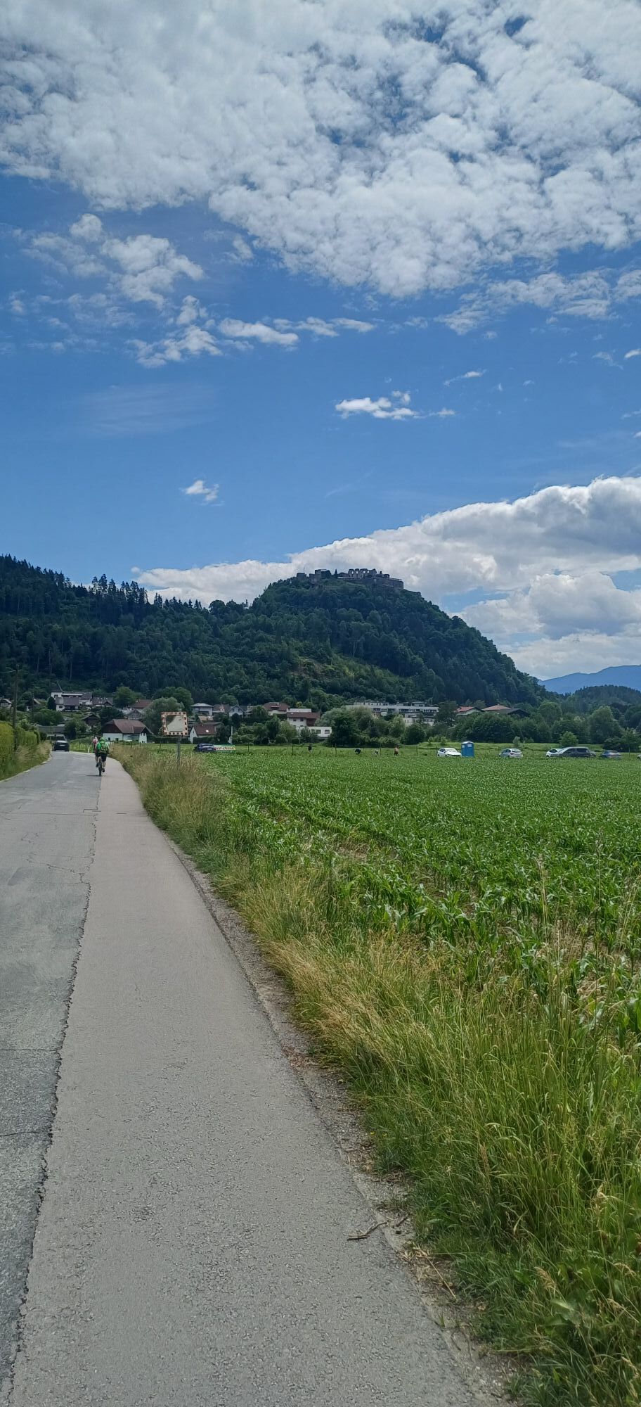
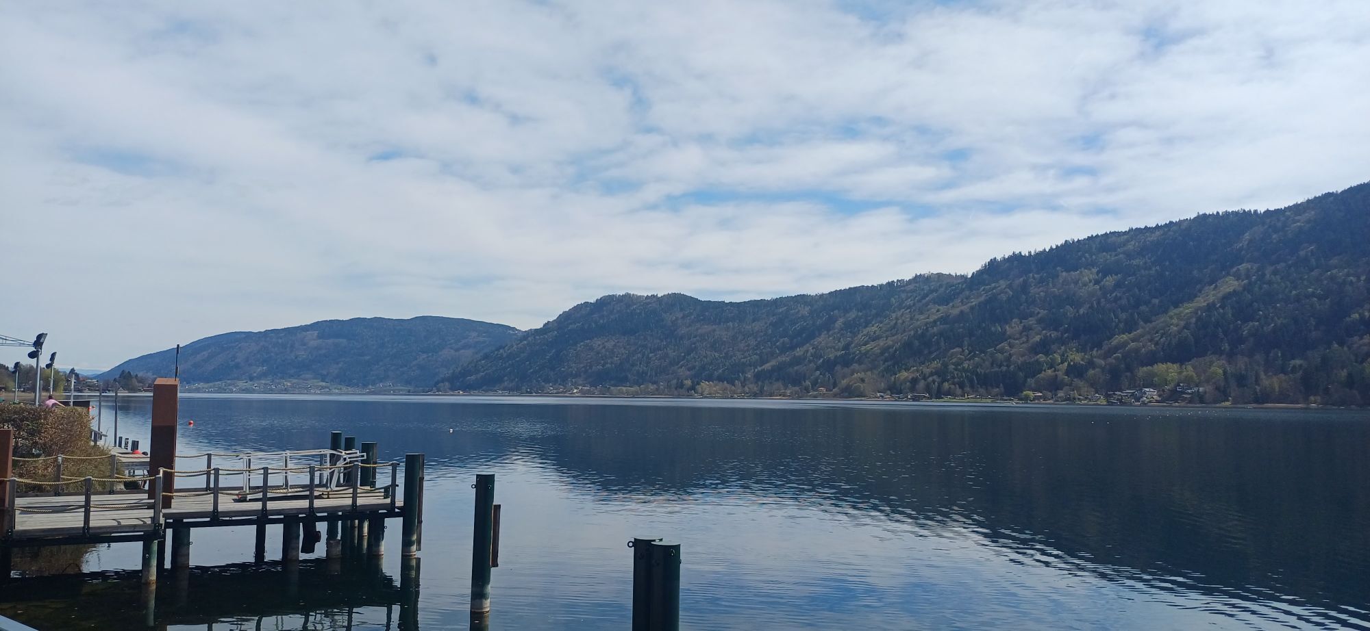
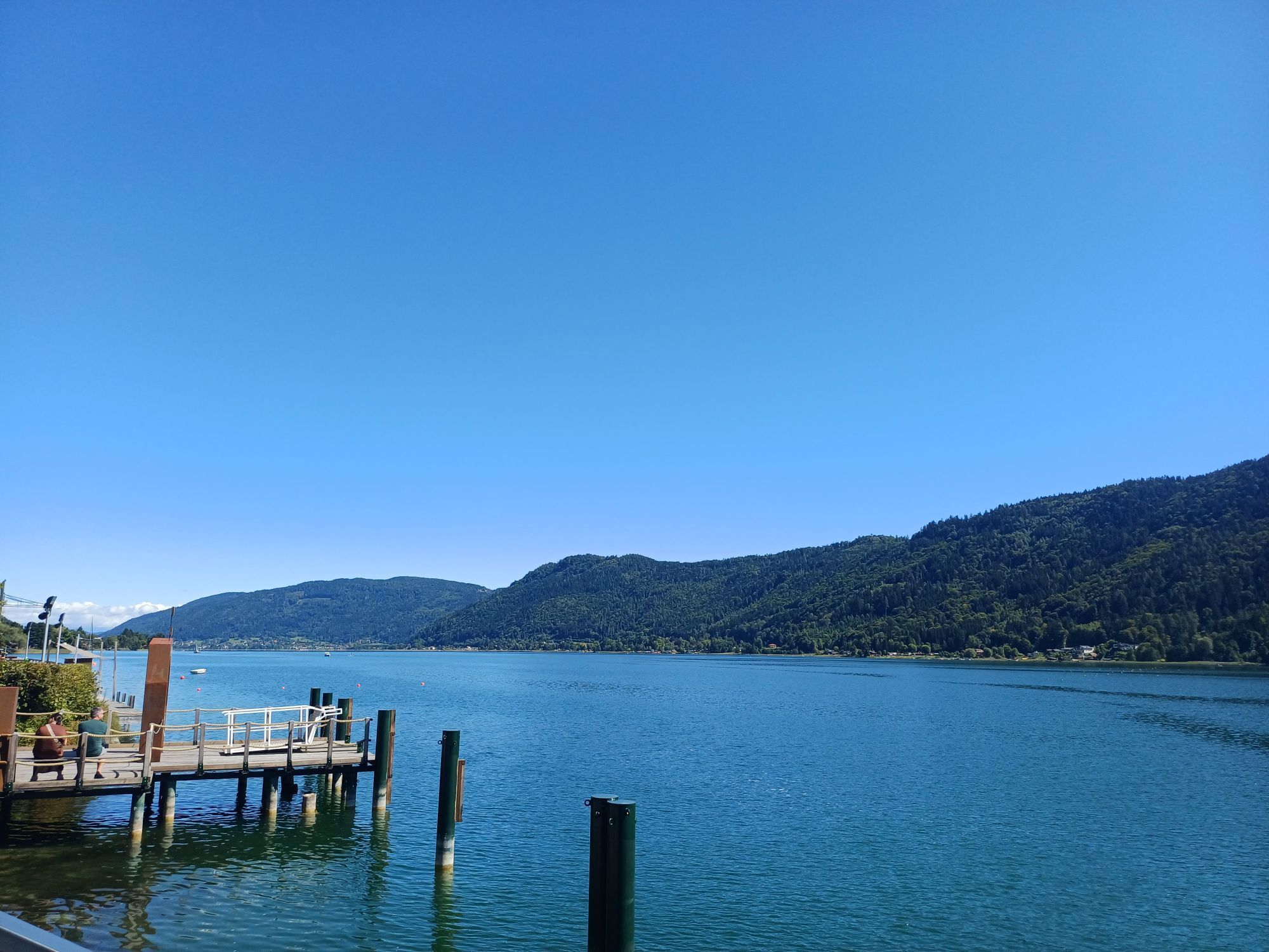
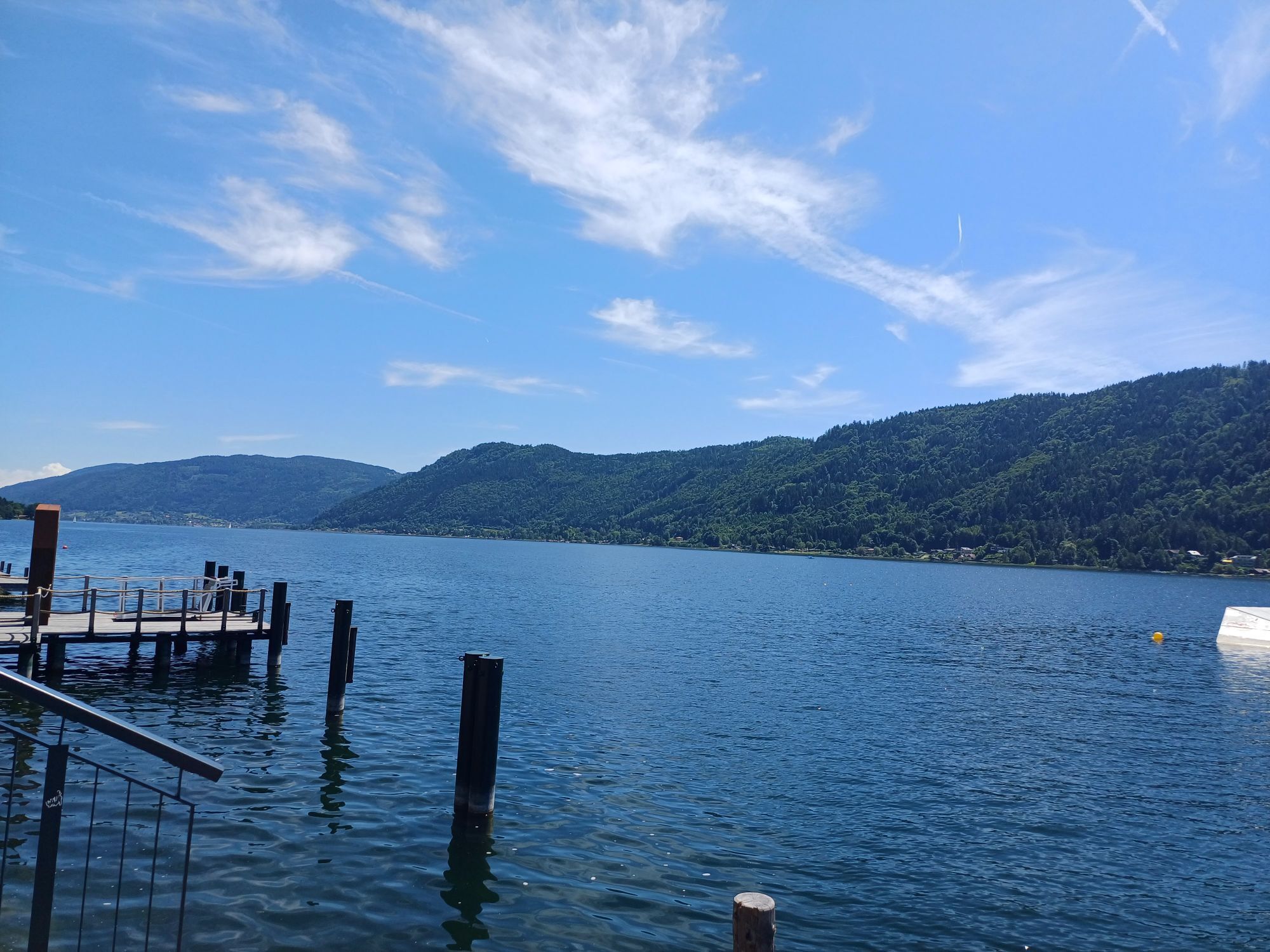
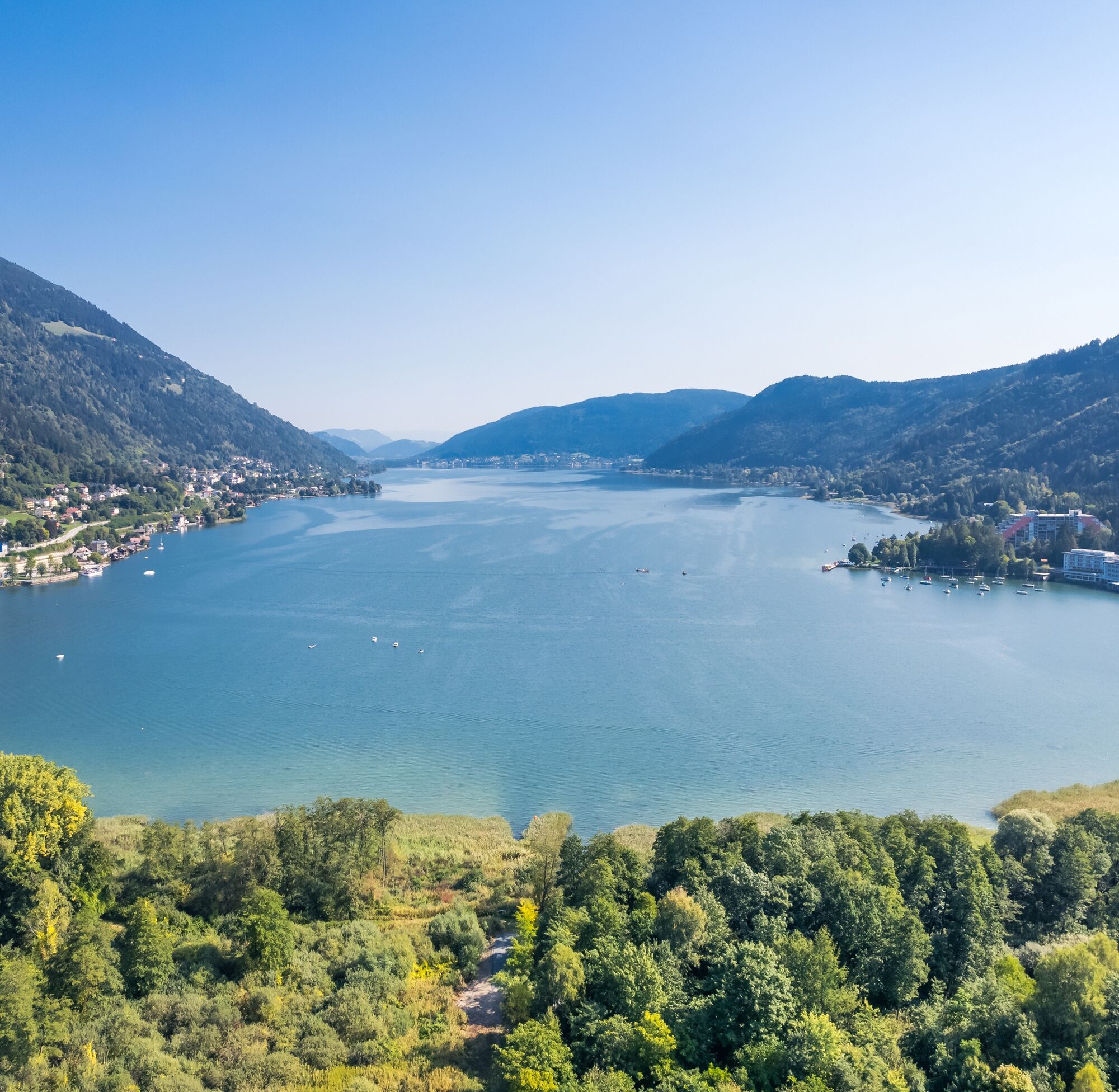
From here, the descent towards Treffen begins without any turns. In Treffen, the descent ends directly on the Millstätter federal road (B98), where you turn onto the R2b bike path back towards Ossiacher See. The bike path initially leads through Treffen, later through Neudorf, where you cross Ossiacher Straße near Billa and head towards the underpass. Before the underpass, turn right and continue following the bike path towards the outflow of Ossiacher See. Shortly before the bridge, proceed along St. Andräer Straße heading north again. St. Andräer Straße is crossed once more near the campsite. After a few minutes, you reach again the starting point of the route on the shore of Ossiacher See.
Tak
Bike with checked brakes, bike helmet, casual clothing, wind jacket, sunglasses, drink, etc.
Although this lies below the summit of the Gerlitzen, all cyclists are asked not to extend the route to the summit! All mountain bikers are requested to use exclusively the officially approved roads, in this case the Gerlitzen toll road to Treffen for the descent! According to trail law, the mountain biker is not considered a recreational user as he rides on paths and is therefore excluded from the freedom of trails (this applies to hiking trails but also forest roads).
Controlled speed on the descent and consideration for other road users. The road traffic regulations and mountain bike fair play rules apply here as well!
By car, Annenheim can be reached via the A10 exit Treffen-Ossiacher See or coming from Villach via the B83 (Ossiacher Zeile) and at the Ossiacher See junction via the B94 towards Ossiacher See Annenheim.
By bus, Annenheim can be reached regularly from Villach main station.
At the valley station of the Gerlitzen cable cars there are sufficient free parking spaces available.
1
From Gerlitzen Kanzelhöhe relaxingly by bike to Ossiacher See!
Popularne wycieczki w okolicy
-
4,4
Finsterbach Waterfalls - Circular route
średniWędrówka 3,87 km -
4,5
Lake circular trail
światłoNordic Walking 9,85 km -
4,1
Slow Trail Bleistätter Moor (Variant A)
światłoWędrówka 7,22 km -
4,9
4 Huts route
średniWędrówka 8,96 km -
5,0
Amberg: Palnock 1901m, Schwarzsee, Rundstrecke
średniWędrówka 7,94 km -
4,0
Schwarzsee circular hiking trail
średniWędrówka 7,79 km -
3,9
Lake Ossiacher See cycle path – R2 & R2A
średniJazda na rowerze 28,2 km -
4,5
Wasserfälle
średniWędrówka 2,48 km -
4,5
Oswaldiberg St.Ruprecht
średniWędrówka 6,69 km -
4,0
Gerlitzen - Hüttersteig
ciężkiWędrówka 6,80 km

Wędrówki i tropienie


Nie przegap ofert i inspiracji na następne wakacje
Twój adres e-mail została dodana do listy mailingowej.