

Dane wycieczki
27,86km
658
- 1.414m
950hm
950hm
02:30h

- Krótki opis
-
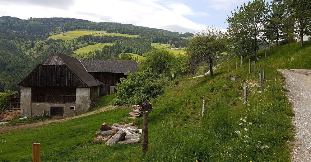
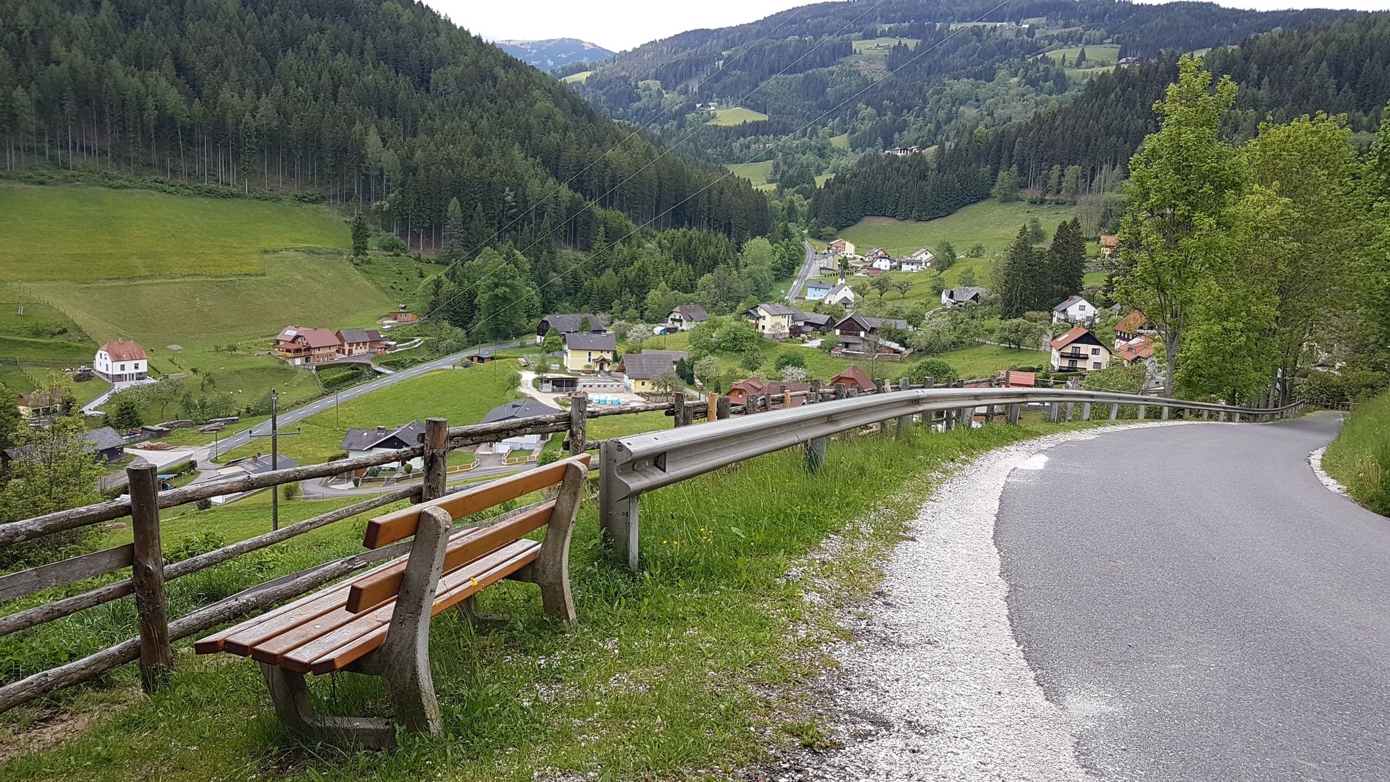
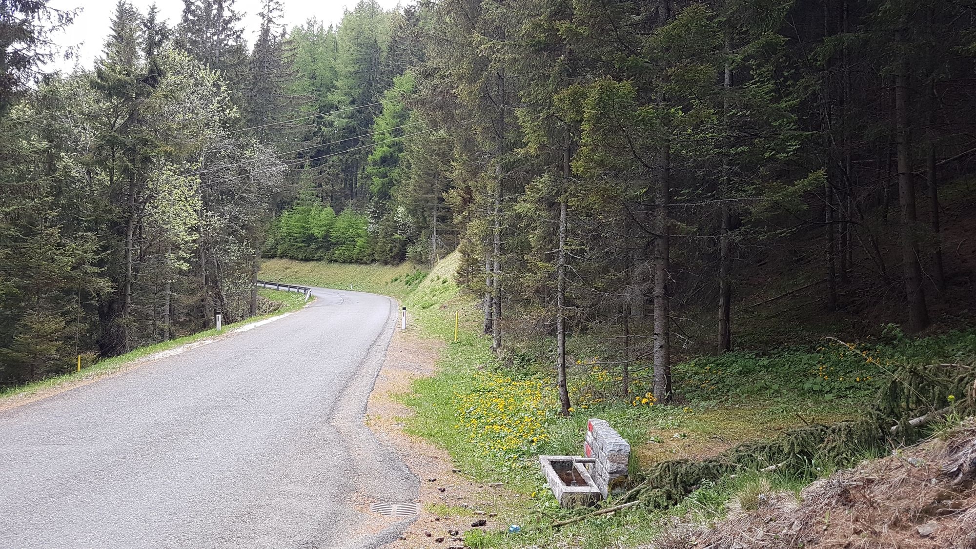
Tour von Bad St. Leonhard über den Hermannsberg und dann über die Straße zur Kogelhütte und auf die Schulterkogel-Spitze.
- Stopień trudności
-
łatwe
- Ocena
-
- Punkt wyjścia
-
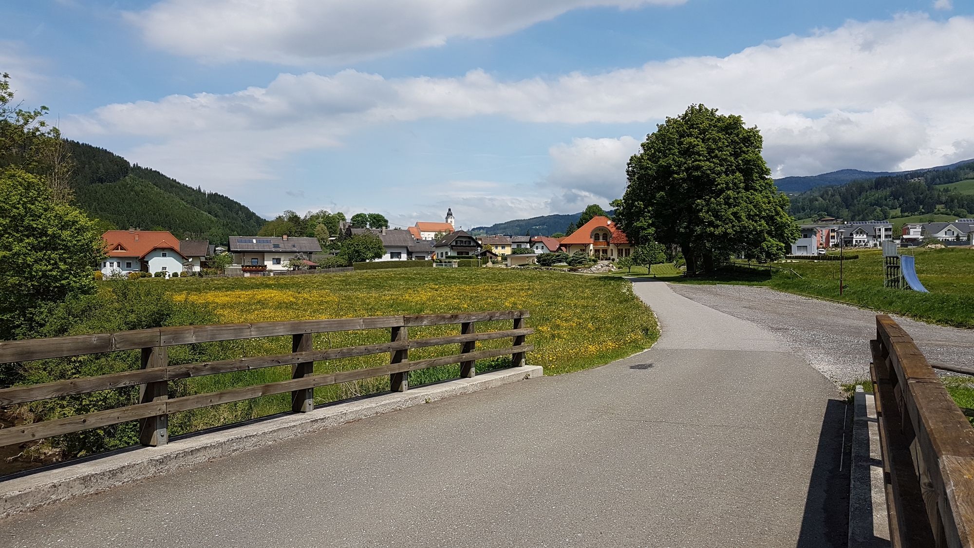
Bad St. Leonhard
- Trasa
-
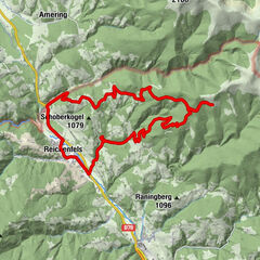
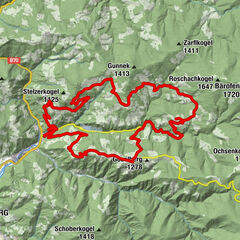
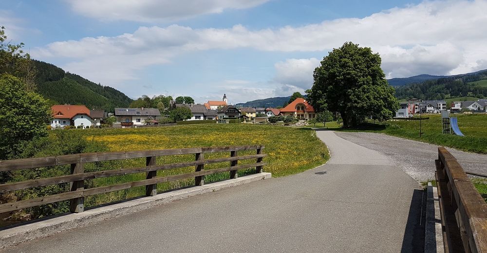
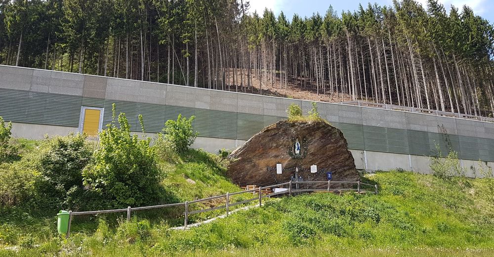
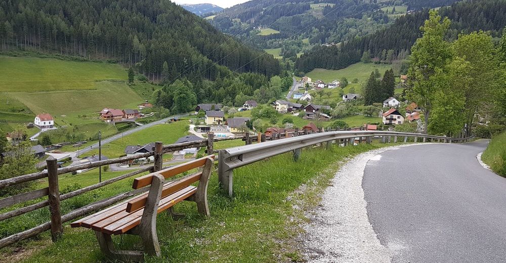
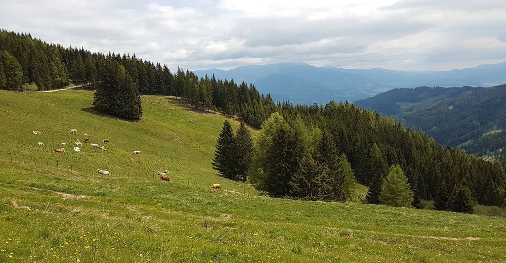
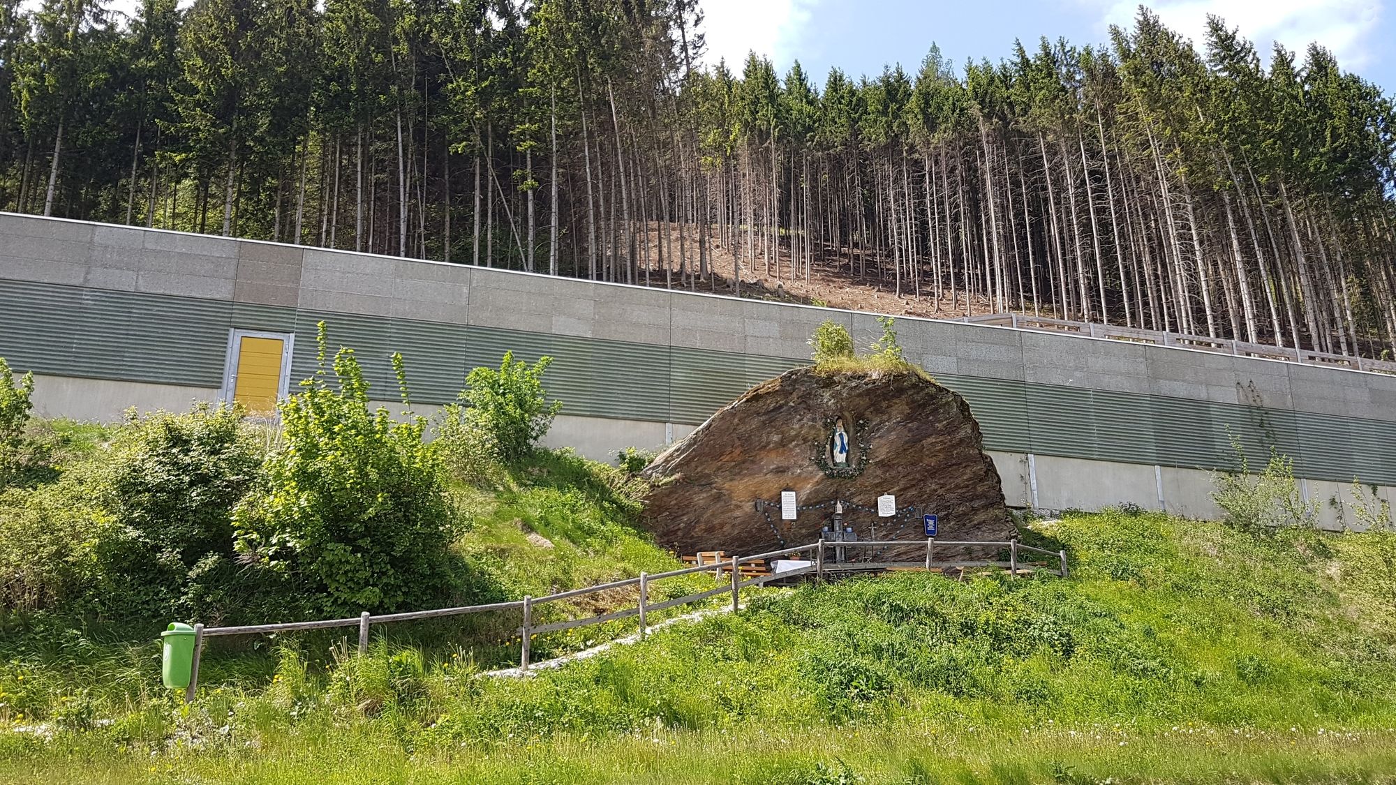
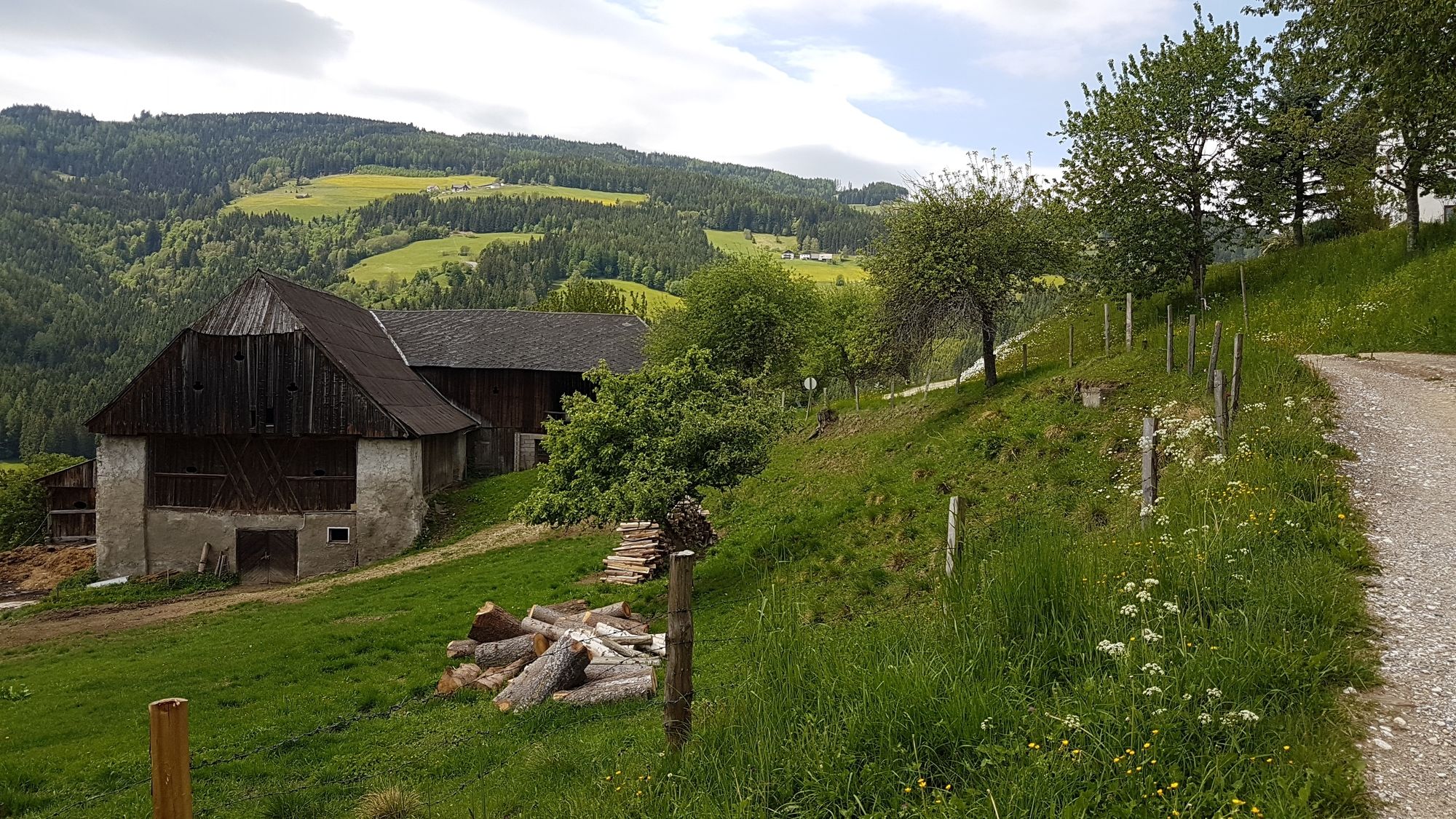
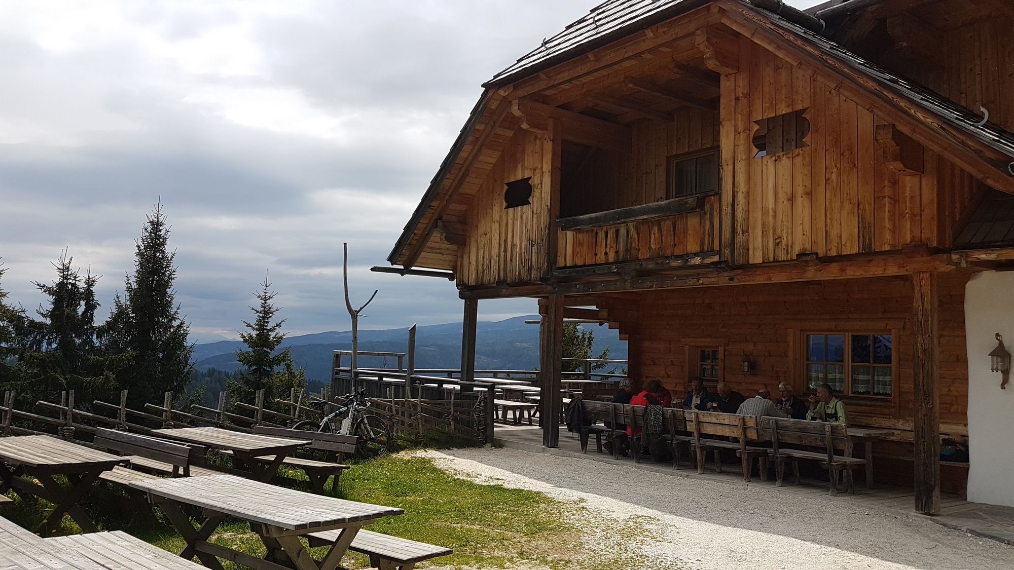
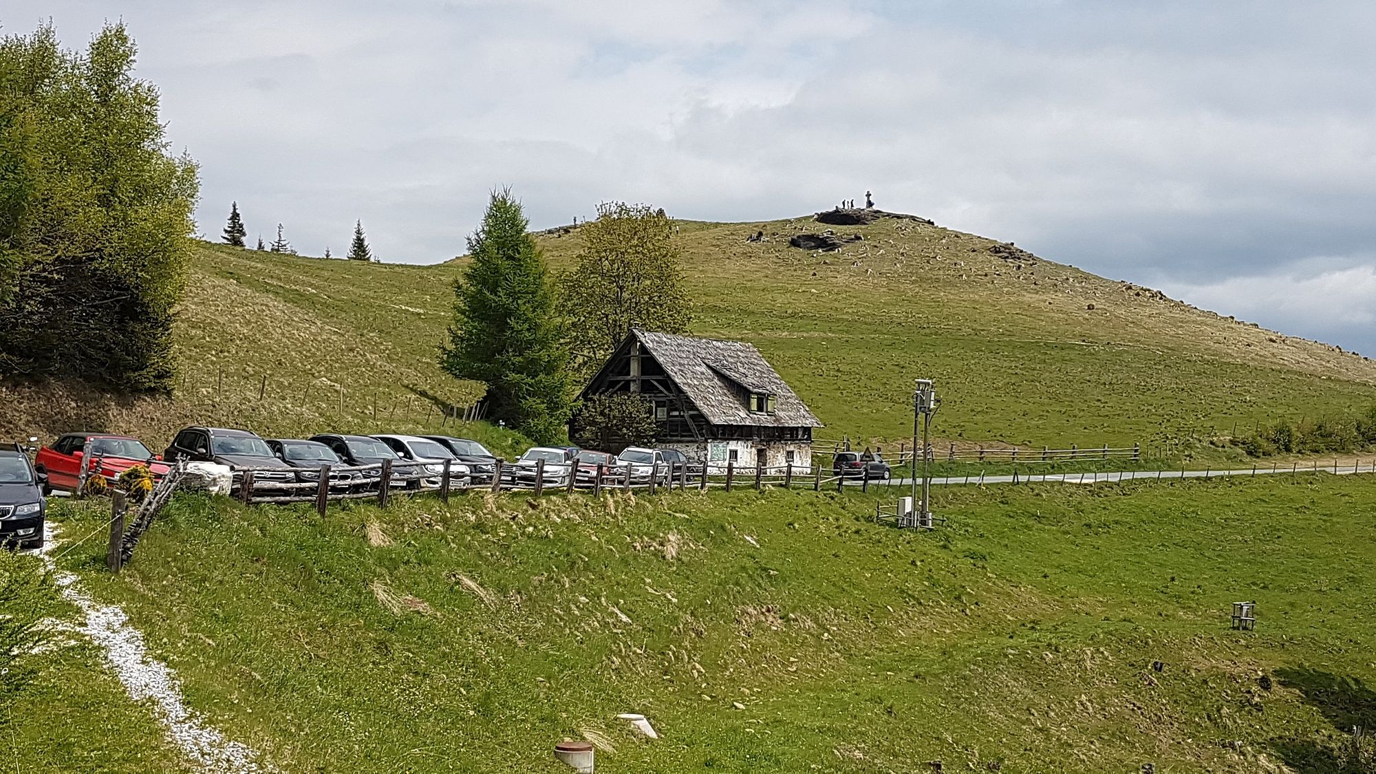
Gasthof Geiger0,0 kmBad Sankt Leonhard im Lavanttal (714 m)0,0 kmOberes Stadttor Geigereck0,0 kmLourdes-Grotte0,8 kmHermannsberg3,7 kmKliening4,4 kmFatimakirche4,4 kmGasthof Buchbauer9,8 kmGaisegg10,0 kmGasthaus Schulterkogelhütte13,6 kmKleiner Schulterkogel (1.414 m)14,4 kmPfarrkirche hl. Martin18,5 kmWeberwirt18,5 kmPrebl18,5 kmPreblau20,5 kmPrebl-Brunnen21,2 kmJausenstation Waich23,0 kmMauterndorf23,8 kmGewerbepark Wiesenau-Süd23,9 kmGasthof Karner25,4 kmVorderklippitz25,5 kmCafe-Restaurant Badido27,3 kmKreuzwegkapelle27,3 kmSpitalskirche27,4 kmUnteres Stadttor27,5 kmBad Sankt Leonhard im Lavanttal (714 m)27,7 kmOberes Stadttor Geigereck27,7 kmGasthof Geiger27,7 km
- Najlepszy sezon
-
stylutmarkwimajczelipsiewrzpaźlisgru
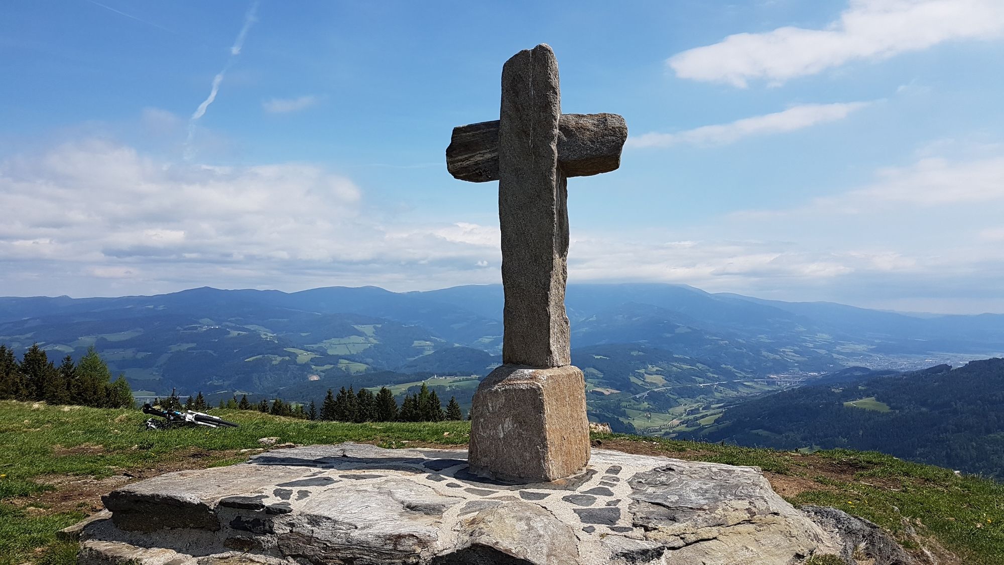
- Najwyższy punkt
- Schulterkogel-Spitze (1.414 m)
- Miejsce docelowe
-
Bad St. Leonhard
- Odpoczynek/Odosobnienie
-
Schulterkogel-Hütte "Kogelhütte"


GPS Downloads


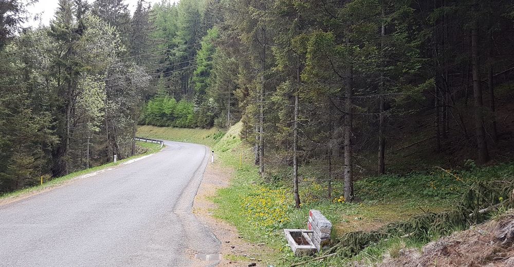
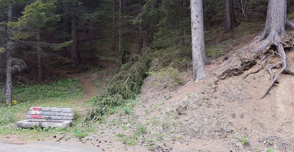
Pasy ruchu
Asfalt
(20% / 5km)
Żwir
(60% / 15km)
Las
Szlaki górskie
Wyprawy singletrails
Trial
Komunikacja
(40% / 10km)
Więcej wycieczek w regionach