© Alpe-Adria-Trail - Alexandra Rieger

© Alpe-Adria-Trail - Alexandra Rieger

© Alpe-Adria-Trail - Alexandra Rieger


- Krótki opis
-
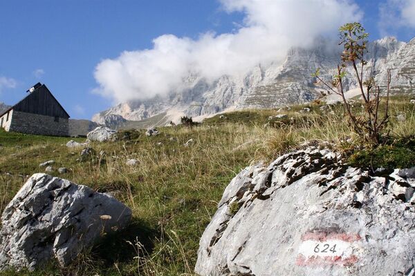
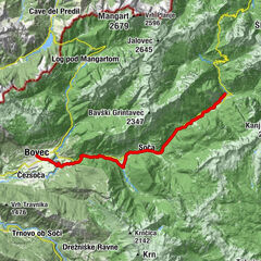
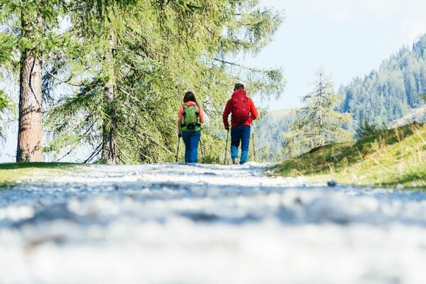
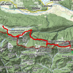
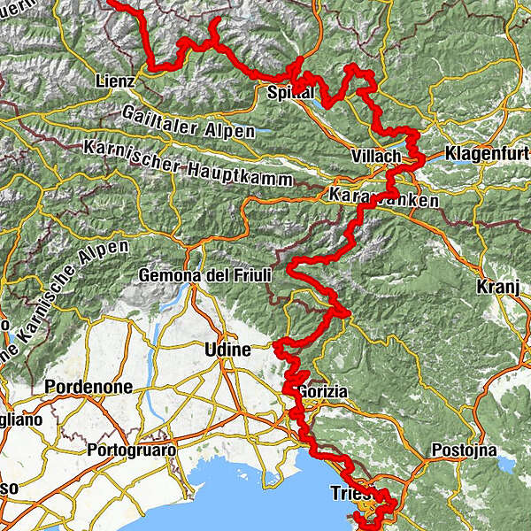
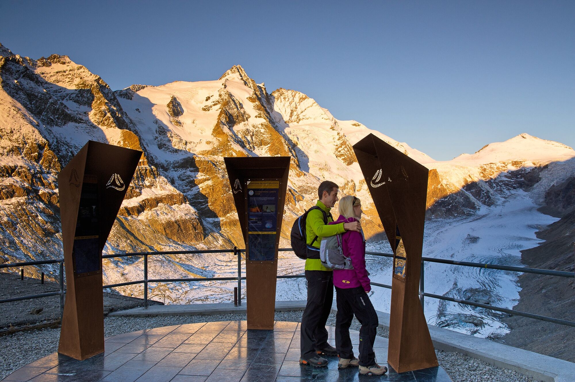
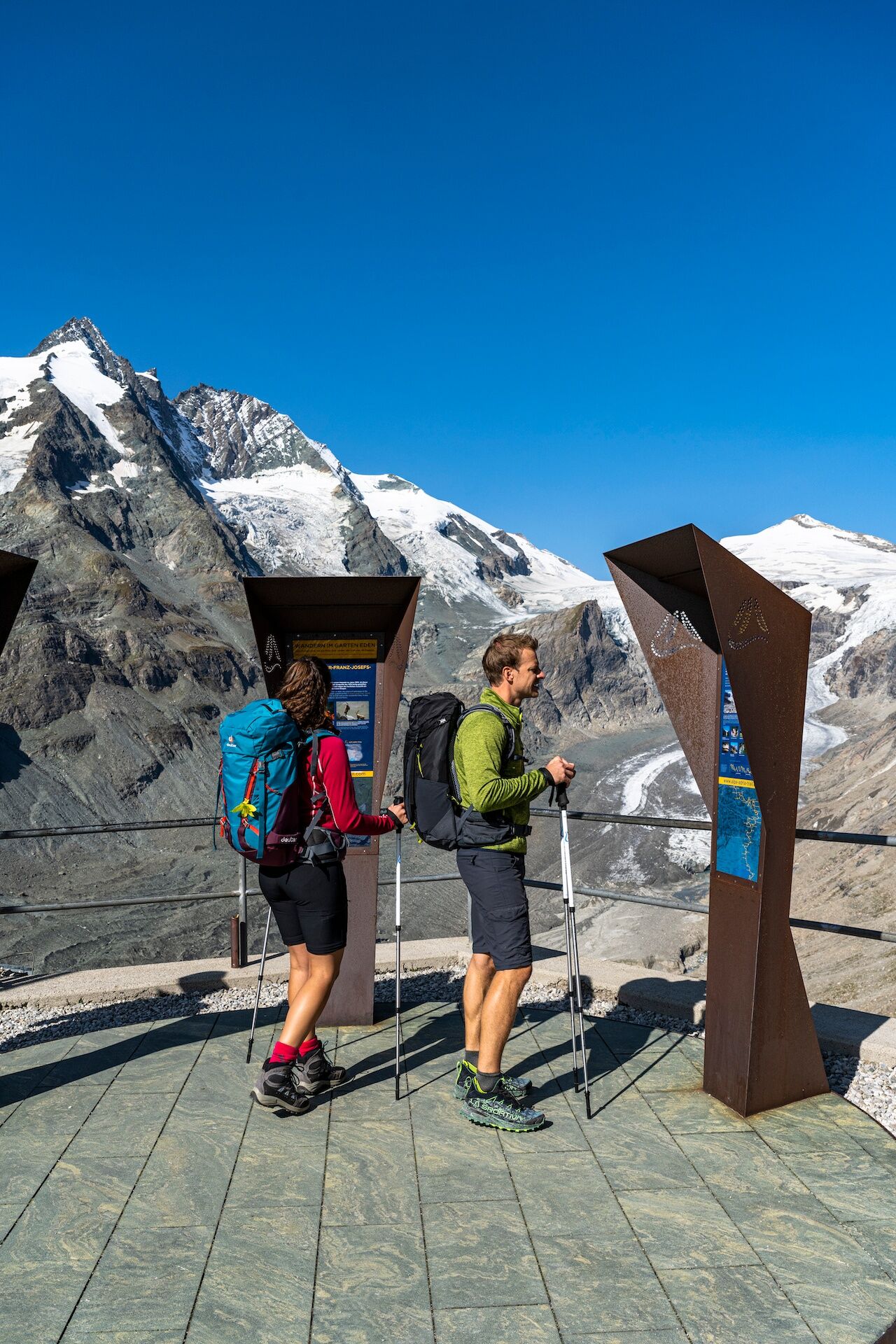
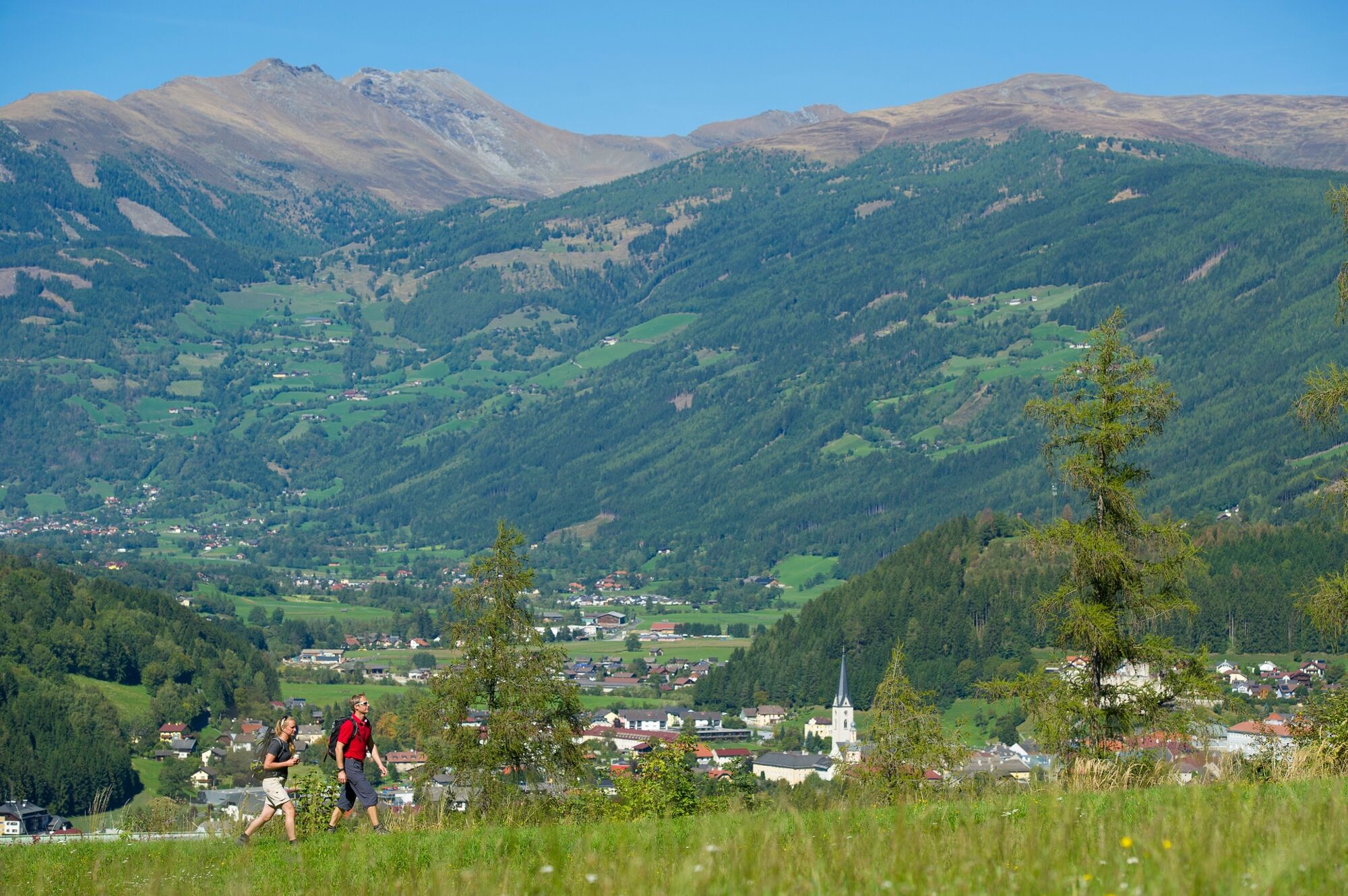
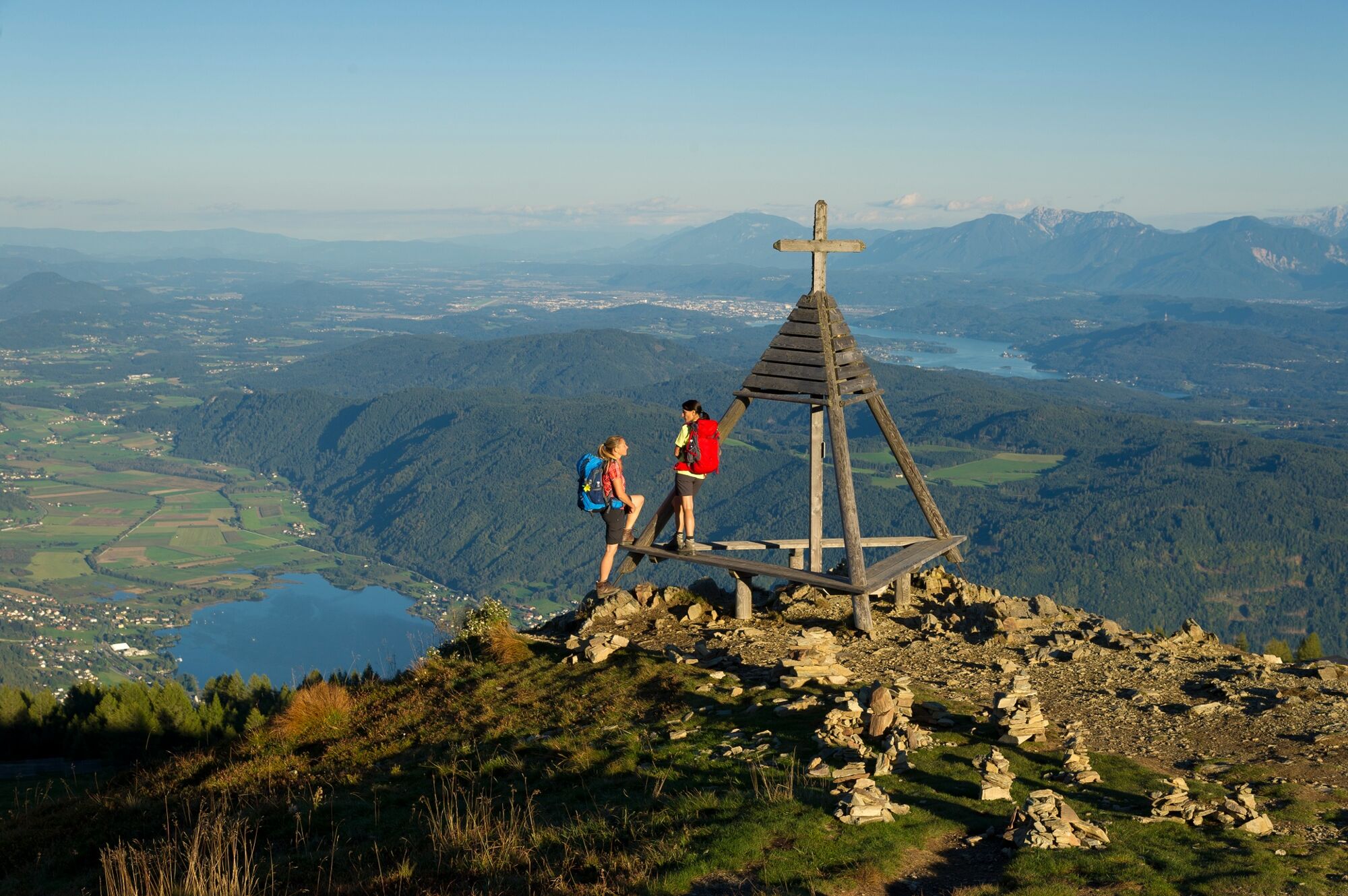
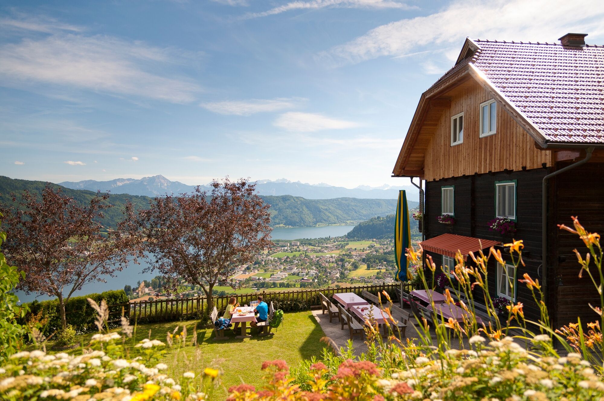
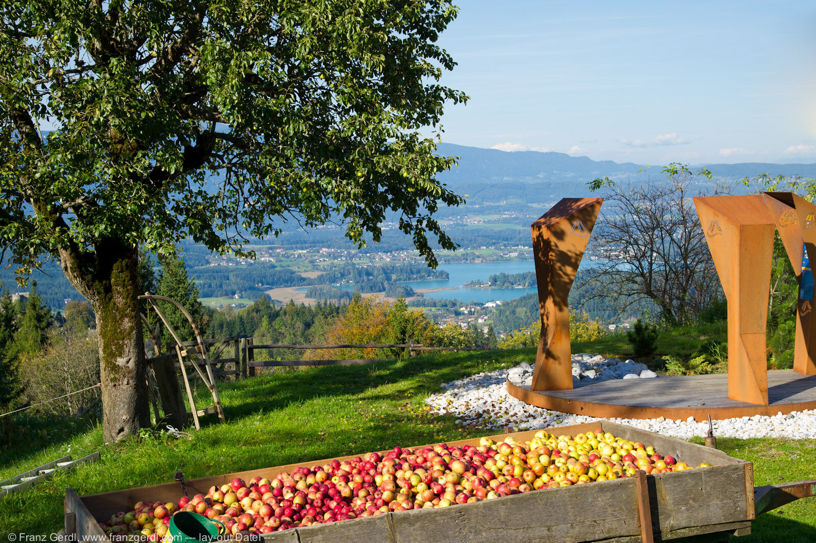
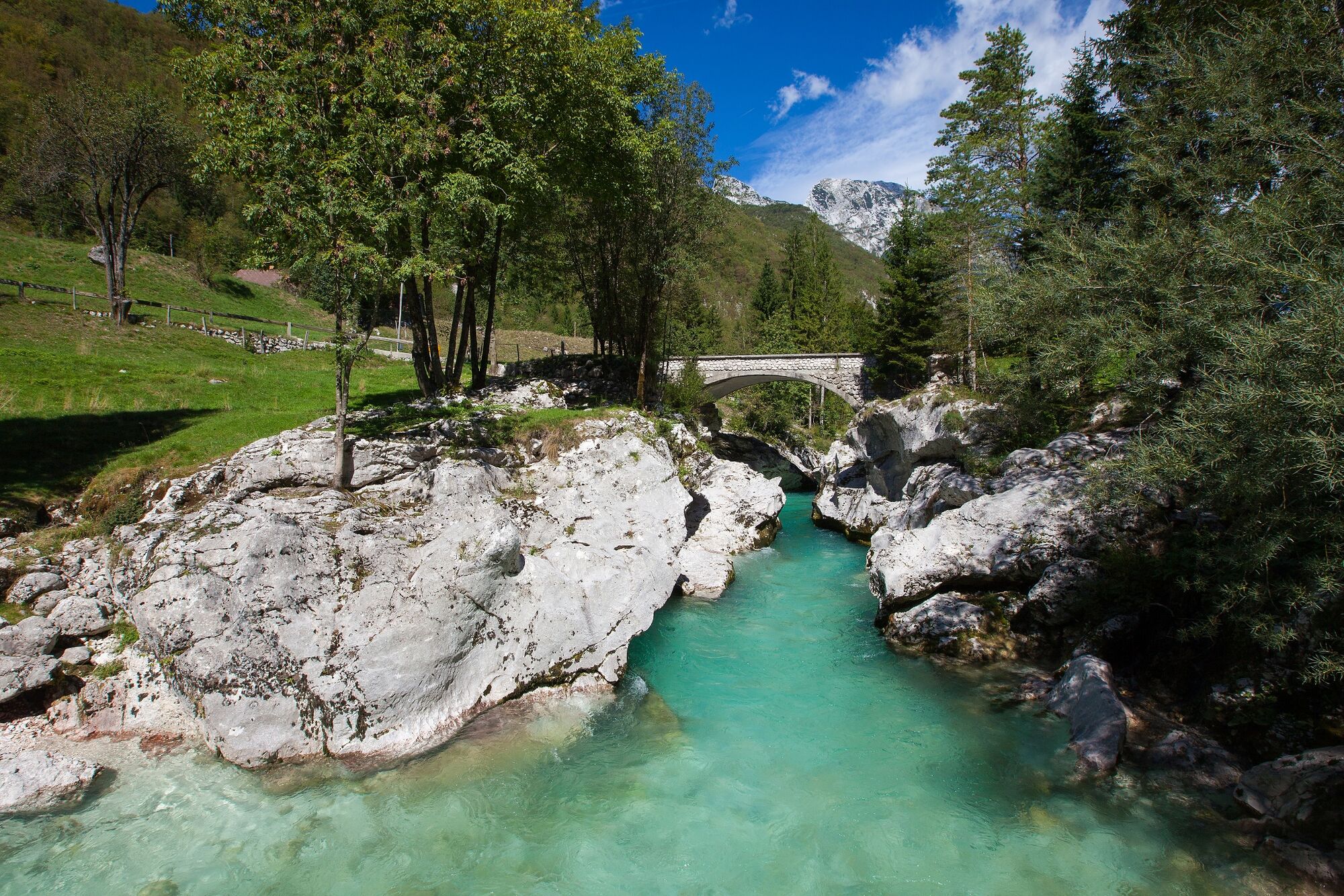
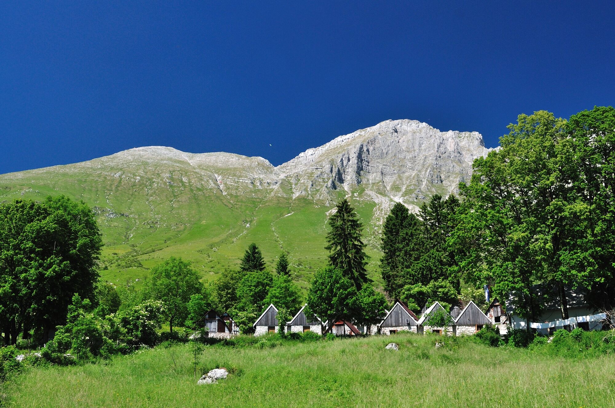
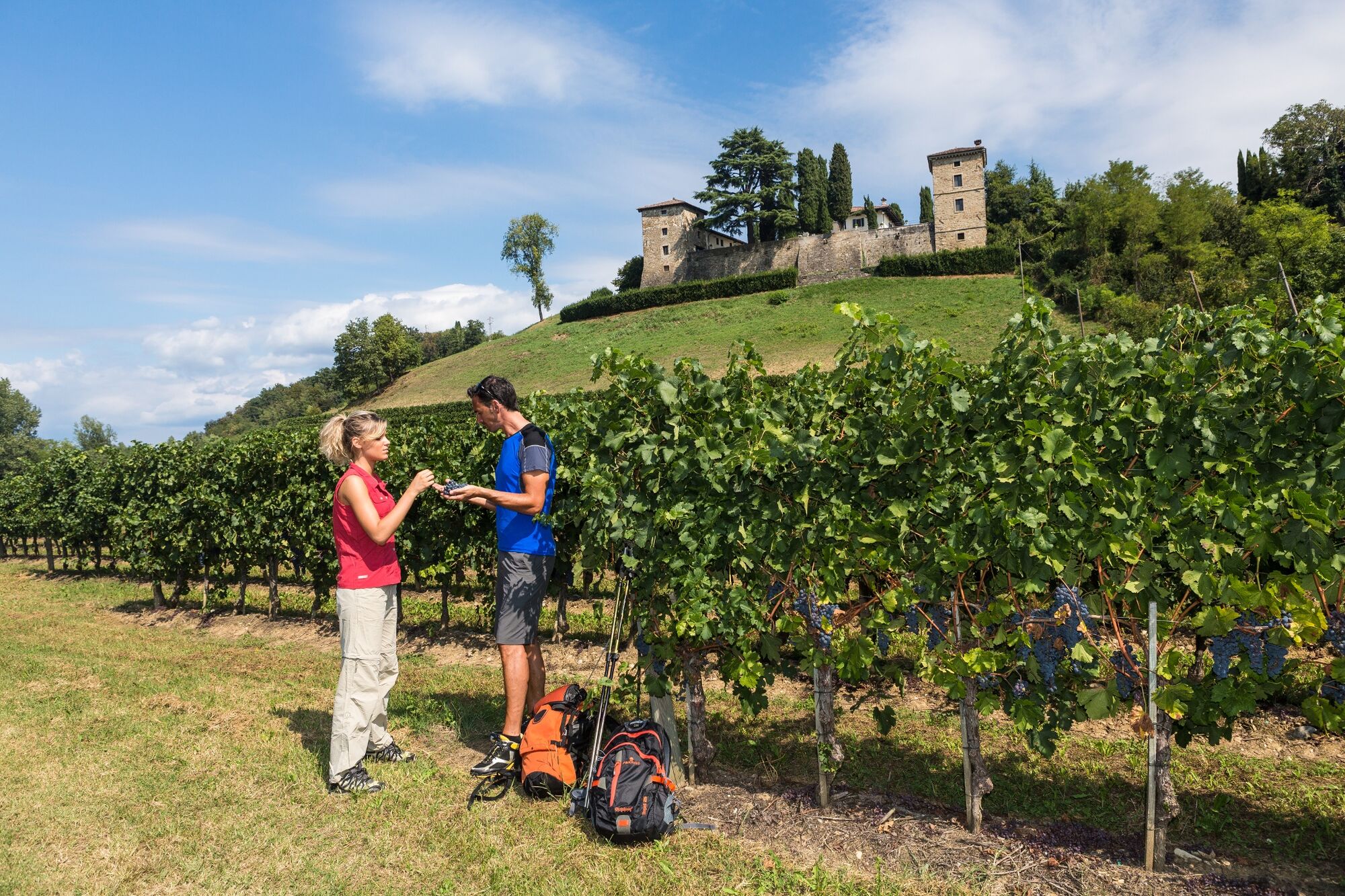
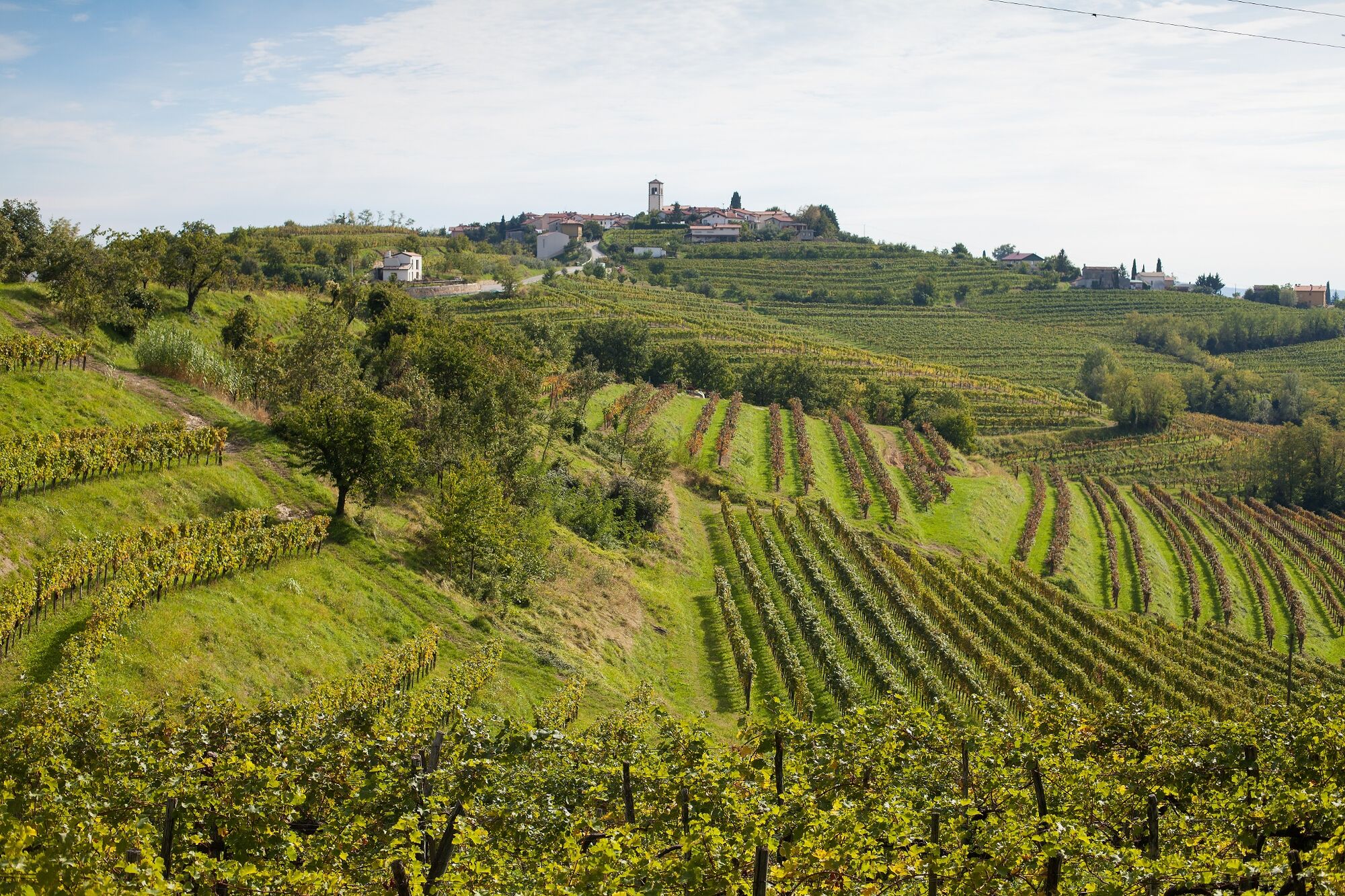
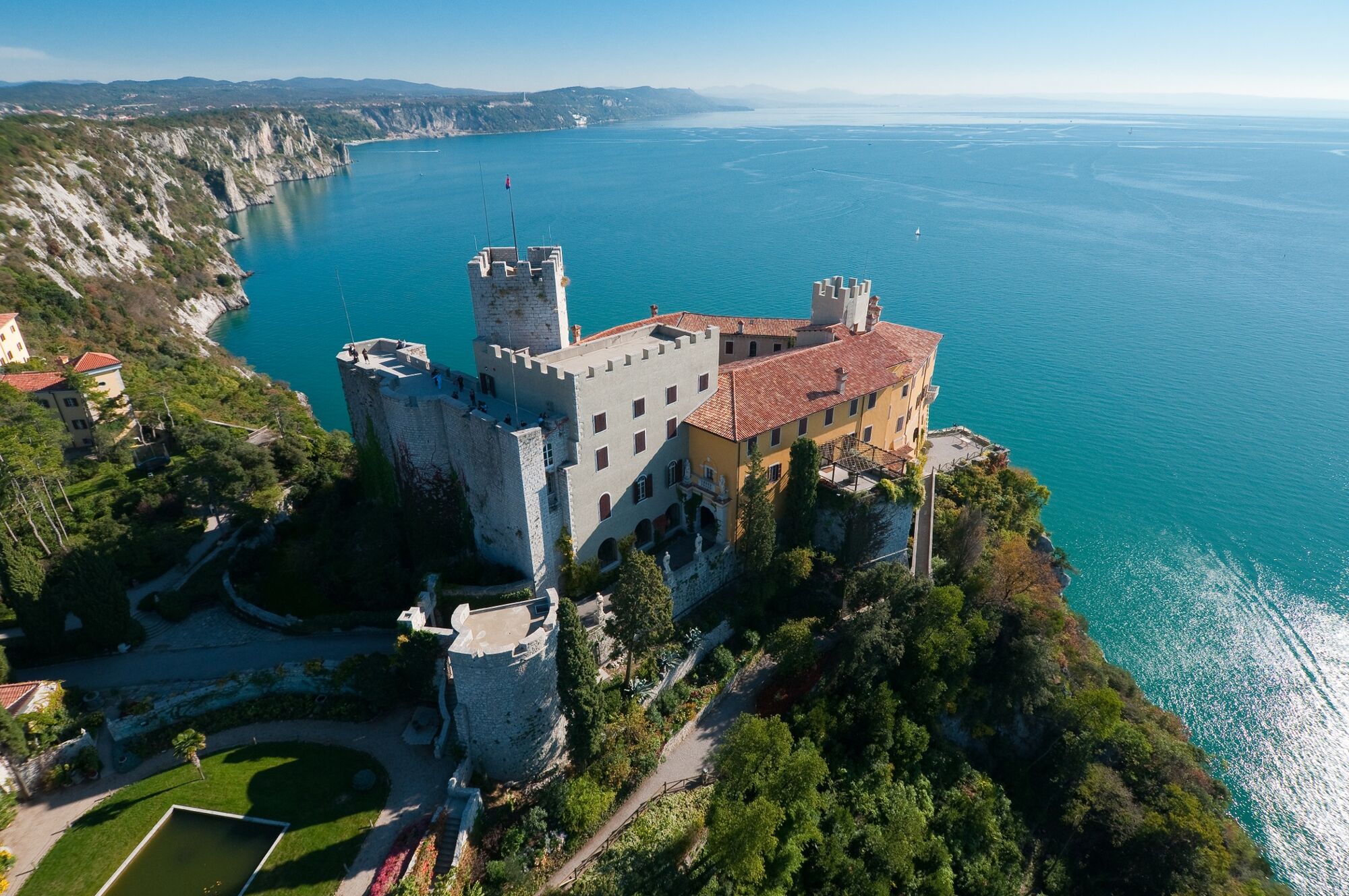
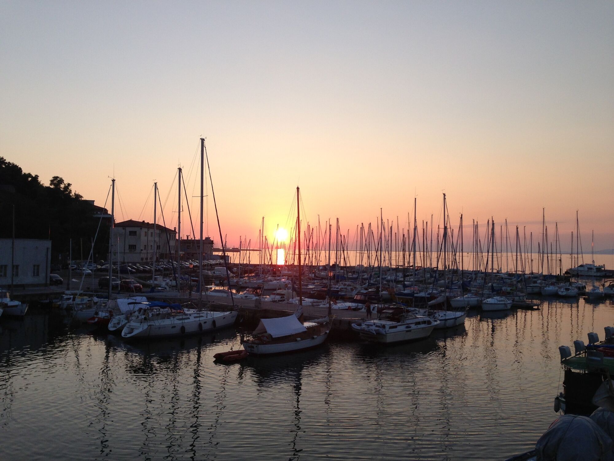
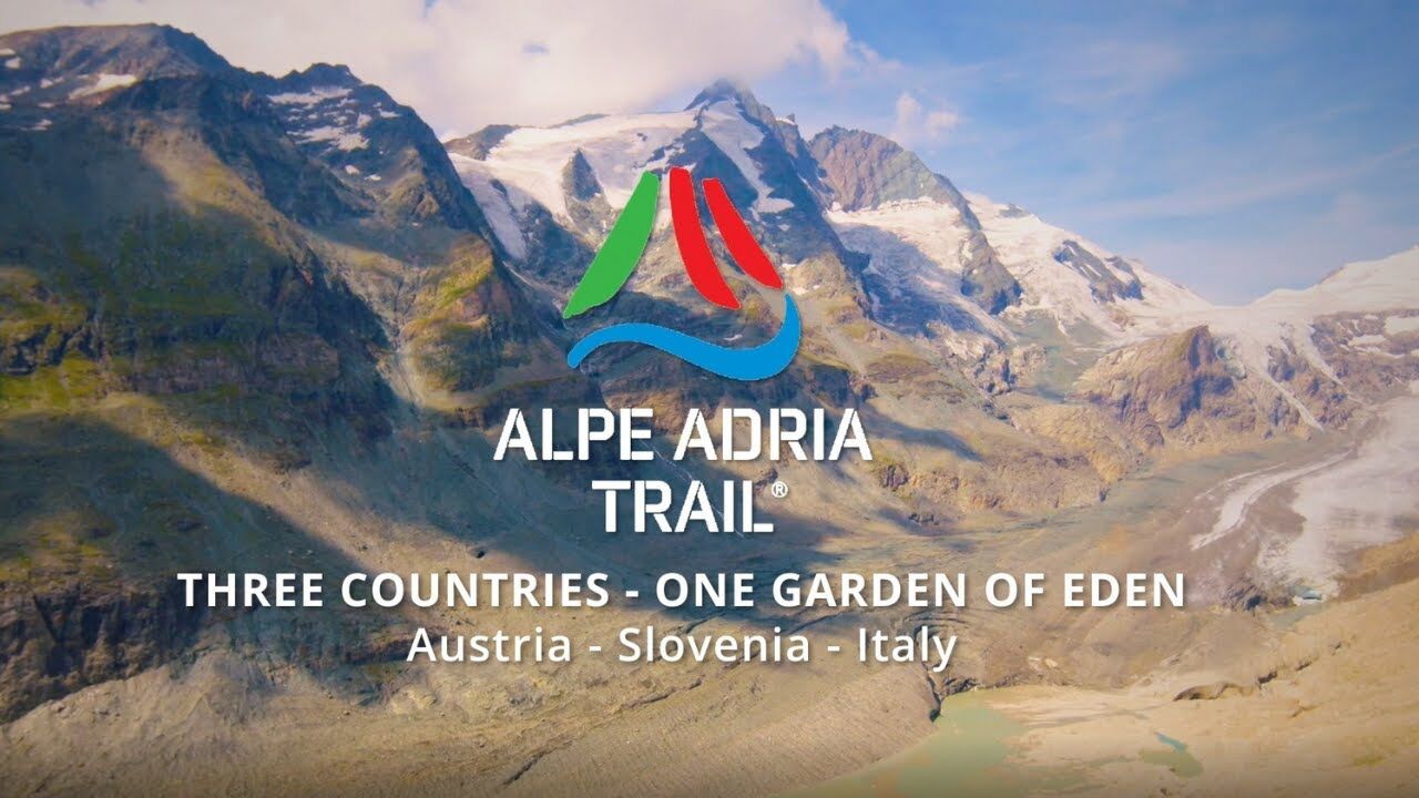
The Alpe-Adria Trail, which is signposted from start to finish, is a varied 750-km-long voyage of exploration that traverses the borders of three countries – Austria, Italy and Slovenia – and three cultures. It runs from the foothills of the majestic Grossglockner Mountain to the azure Adriatic Sea. With views of a superb variety of natural wonders, alpine aquatic adventures and fascinating animal and plant life, it wends its way around lakes, streams and rivers, until it reaches its goal: the Adriatic Sea. A practical benefit: The Alpe-Adria Trail Booking Centre is ready to help you organise the individual tour you want and make it happen.
- Stopień trudności
-
średni
- Ocena
-
- Najlepszy sezon
-
stylutmarkwimajczelipsiewrzpaźlisgru
- Najwyższy punkt
- 2.368 m
- Miejsce docelowe
-
Muggia in Friuli Venezia Giulia, Italy
- Profil wysokości
-


- Autor
-
Wycieczka Alpe-Adria-Trail overall tour jest używany przez outdooractive.com pod warunkiem.
GPS Downloads


Informacje ogólne
Przystanek odświeżania
Kulturalny/Historyczny
Flora
Fauna
Obiecujący
Więcej wycieczek w regionach