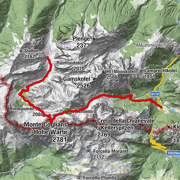
Die Karnische Milchstraße - ET06 Untere Valentinalm - Hubertuskapelle bei Birnbaum

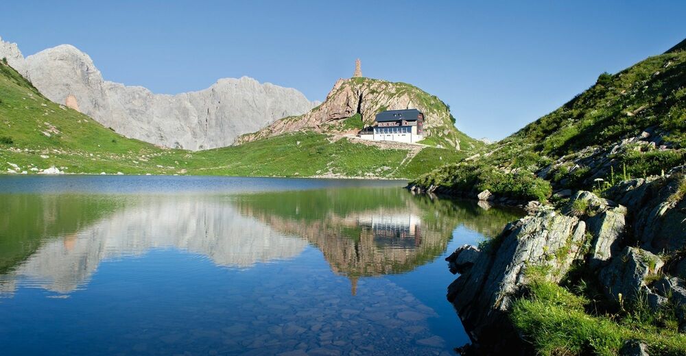
© Profer & Partner - Nassfeld - Pressegger See

© www.nassfeld.at - Nassfeld - Pressegger See

© Nassfeld - Pressegger See - Daniel Gollner

- Krótki opis
-
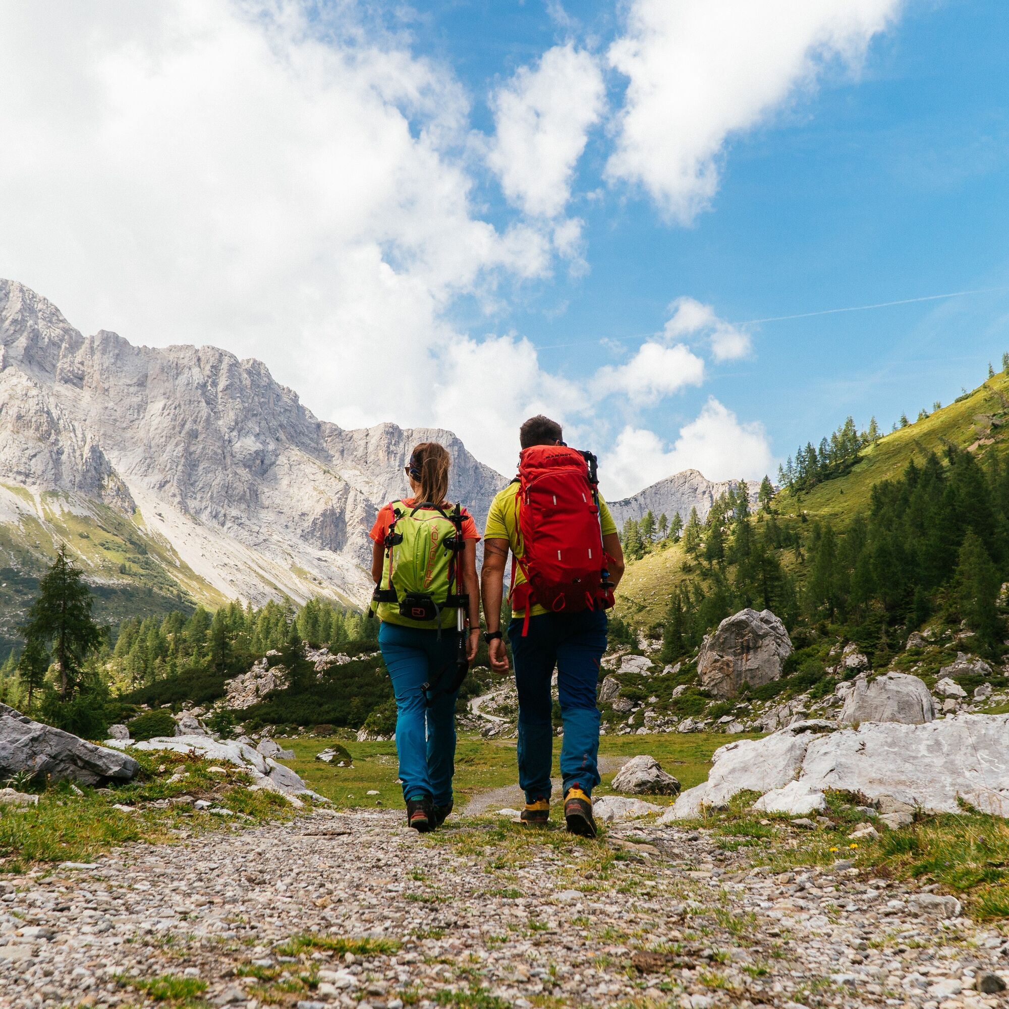
"The Carnic Milky Way" as the best of the Carnic Highway and the Constellation Hikes is "Hiking in New Dimensions".
- Stopień trudności
-
średni
- Ocena
-
- Trasa
-
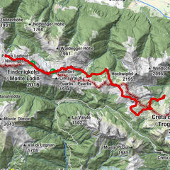
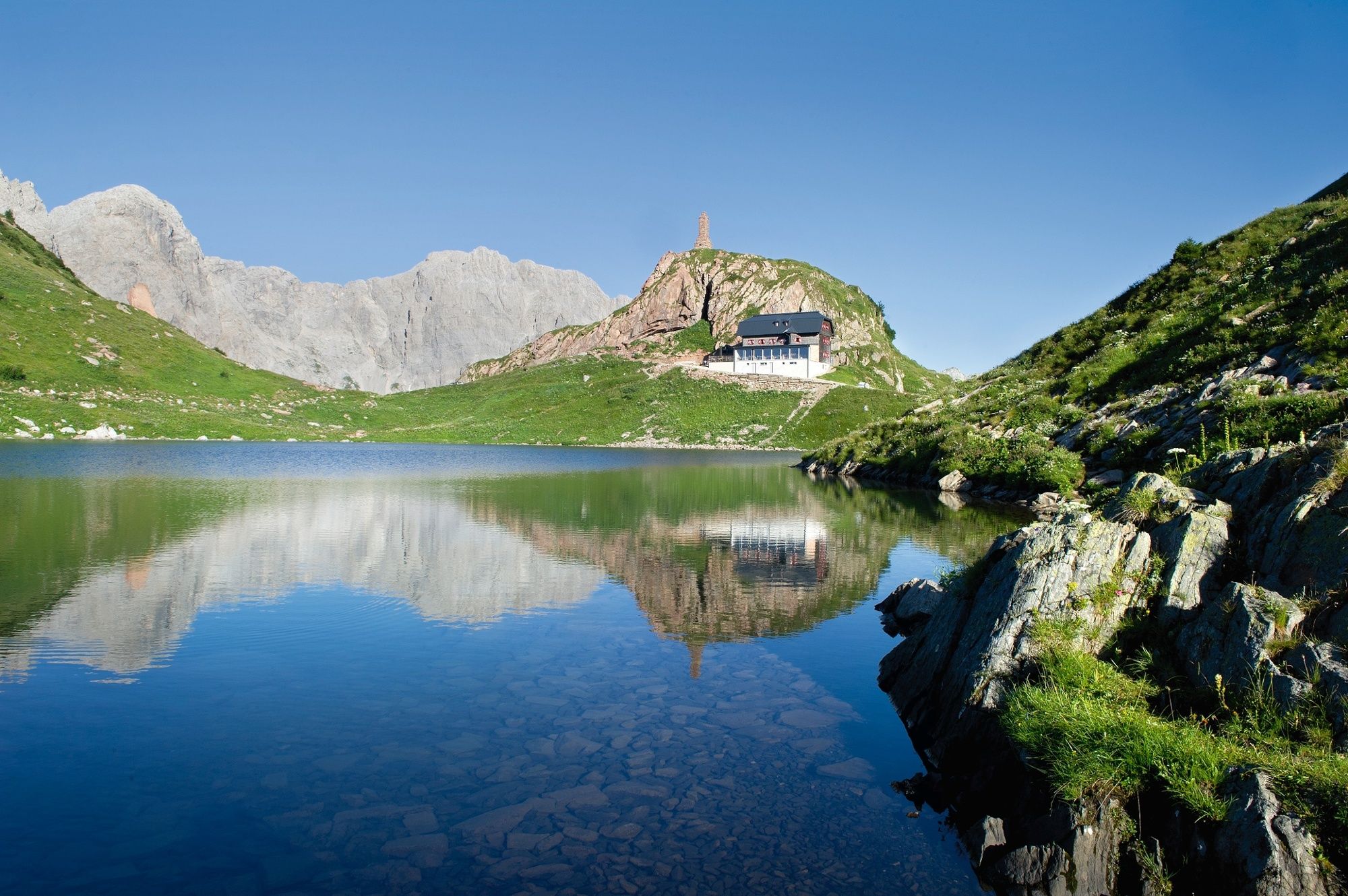
Gasthof Plöckenhaus0,0 kmTheresienhöhe0,9 kmAlmgasthof Valentinalm (1.220 m)2,5 kmWolayer Pass (1.973 m)8,7 kmRifugio Lambertenghi Romanin8,8 kmKriegerdenkmal8,9 kmWolayerseehütte9,4 kmBimbaumer Törl (2.080 m)9,5 kmHubertuskapelle16,2 km
- Najlepszy sezon
-
stylutmarkwimajczelipsiewrzpaźlisgru
- Najwyższy punkt
- 2.133 m
- Miejsce docelowe
-
Hubertus Kapelle
- Profil wysokości
-


- Autor
-
Wycieczka Die Karnische Milchstraße - ET06 Untere Valentinalm - Hubertuskapelle bei Birnbaum jest używany przez outdooractive.com pod warunkiem.
GPS Downloads


Informacje ogólne
Przystanek odświeżania
Kulturalny/Historyczny
Flora
Fauna
Obiecujący
Więcej wycieczek w regionach