Die Karnische Milchstraße - ET04 Rattendorfer Alm - Zollnersee Hütte


© Nassfeld - Pressegger See - Gerald Köstl

© www.nassfeld.at - Nassfeld - Pressegger See

© Nassfeld - Pressegger See - Daniel Gollner

© Nassfeld - Pressegger See - Fabio Tabacchi

© Slow Food Travel - Nassfeld - Pressegger See
© Nassfeld - Pressegger See - Franz Gerdl


- Krótki opis
-
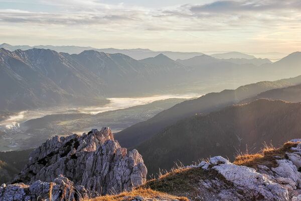
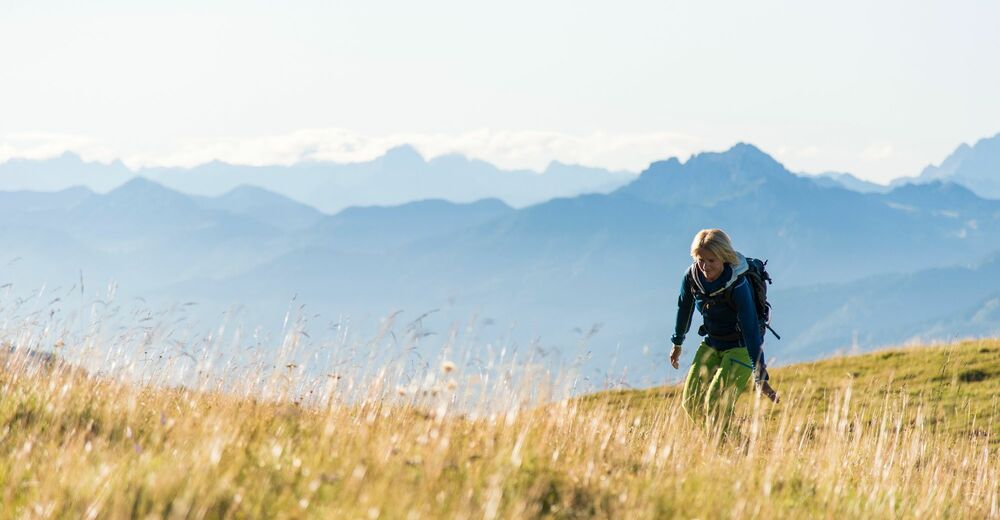
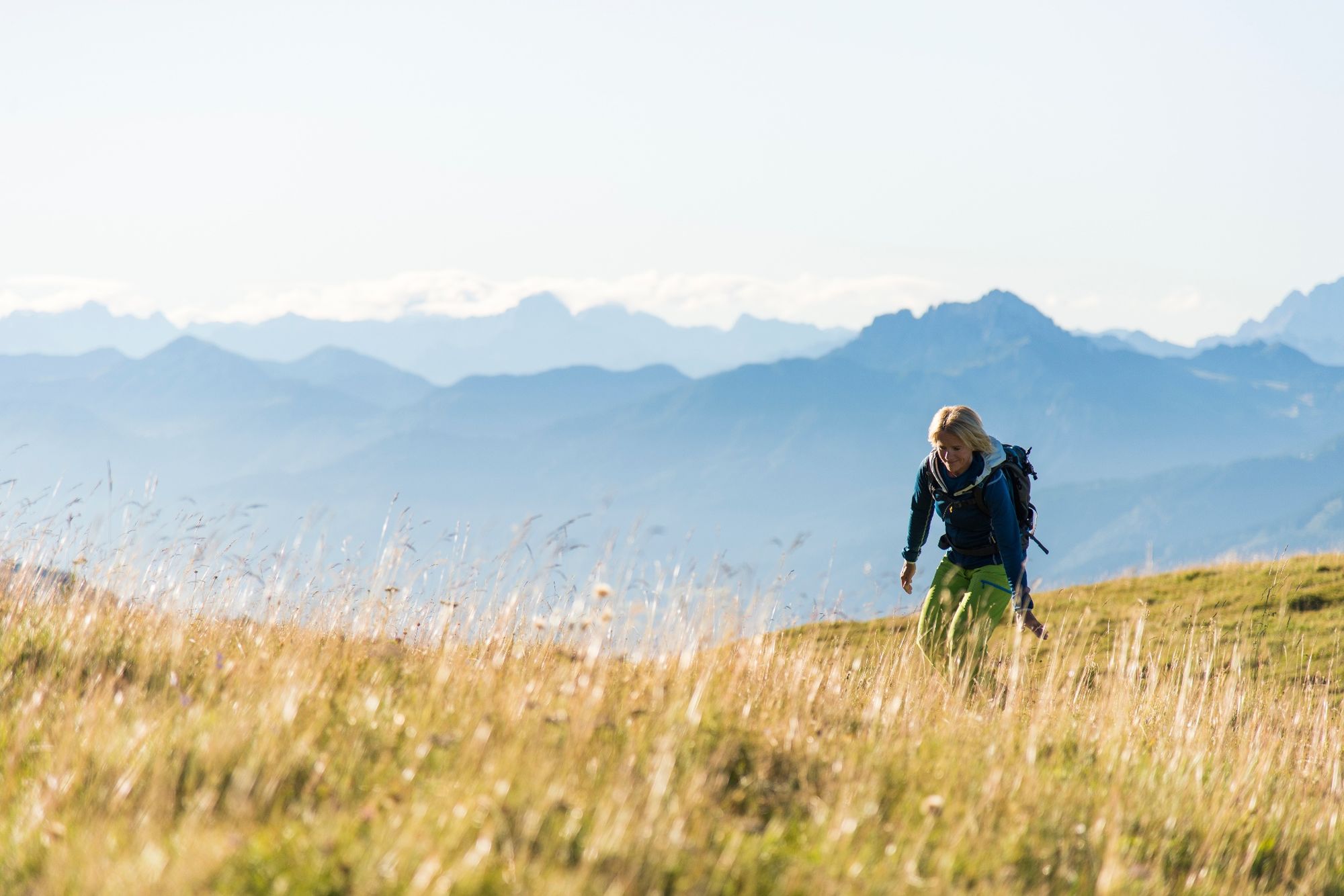
"The Carnic Milky Way" as the best of the Carnic Highway and the Constellation Hikes is "Hiking in New Dimensions".
- Stopień trudności
-
średni
- Ocena
-
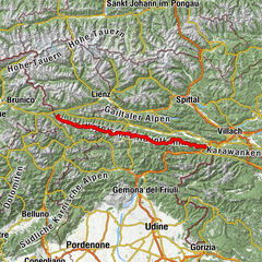
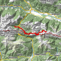
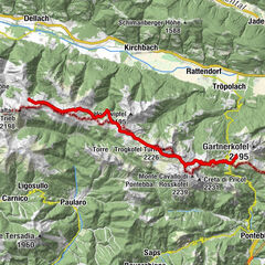
- Trasa
-
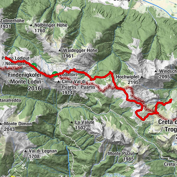
Grotta di Attila2,3 kmStraniger Alm9,6 kmHöhenlager Straniger Alm (1915-1917)10,4 kmLodintörl (1.871 m)12,4 kmFindenigkofel (2.016 m)13,1 kmZollnersee Hütte16,3 km
- Najlepszy sezon
-
stylutmarkwimajczelipsiewrzpaźlisgru
- Najwyższy punkt
- 2.008 m
- Miejsce docelowe
-
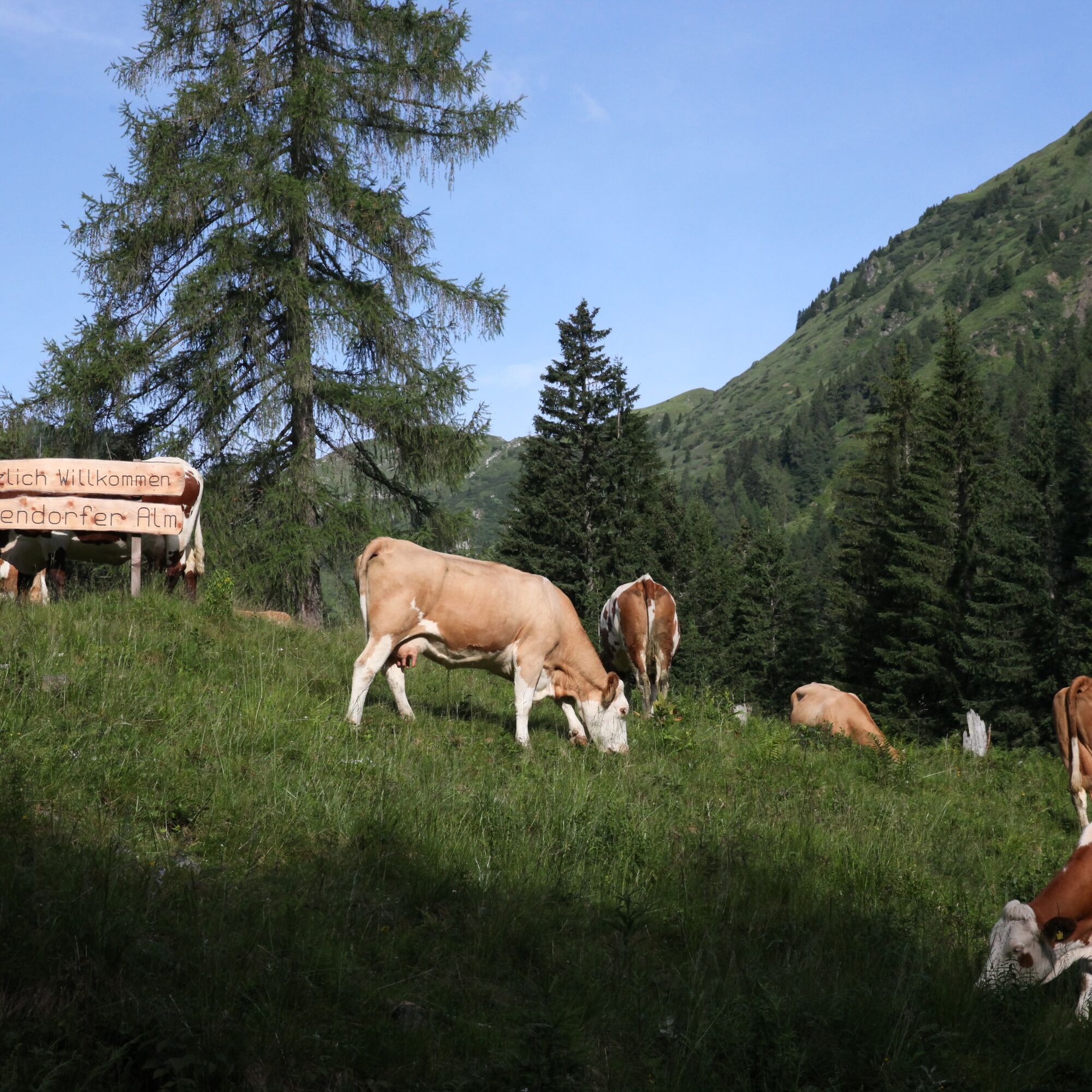
Zollnersee Hütte
- Profil wysokości
-


- Autor
-
Wycieczka Die Karnische Milchstraße - ET04 Rattendorfer Alm - Zollnersee Hütte jest używany przez outdooractive.com pod warunkiem.
GPS Downloads


Informacje ogólne
Przystanek odświeżania
Kulturalny/Historyczny
Flora
Fauna
Obiecujący
Więcej wycieczek w regionach