© Berner Wanderwege - Berne Rando

- Krótki opis
-
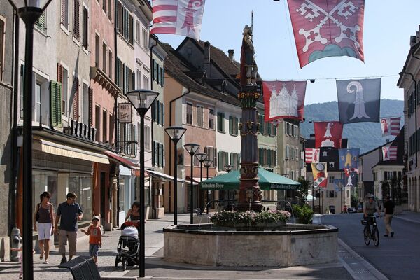
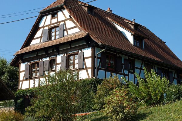
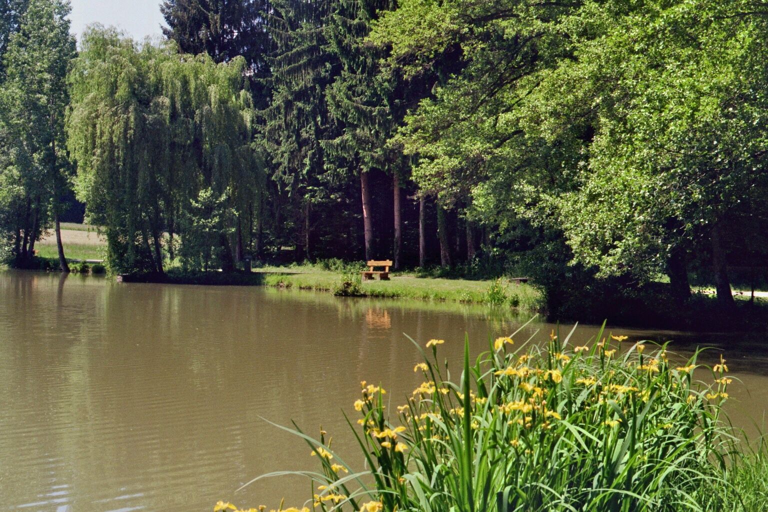
Die Wanderung führt vom Grenzdorf Bonfol durch Wälder, vorbei an Teichen, über einen Höhenzug und schliesslich entlang des Baches Allaine nach Pruntrut. Einige Abschnitte auf Hartbelag.
- Stopień trudności
-
łatwe
- Ocena
-
- Trasa
-
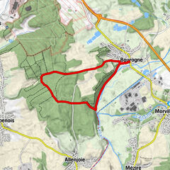
Bonfol (432 m)Vendlincourt (448 m)4,8 kmAlle (450 m)9,0 kmLe Régional9,1 kmSous Airmont11,7 kmPruntrut (443 m)13,2 kmPruntrut (423 m)13,3 km
- Najlepszy sezon
-
stylutmarkwimajczelipsiewrzpaźlisgru
- Najwyższy punkt
- 536 m
- Miejsce docelowe
-
Pruntrut
- Profil wysokości
-
 © outdooractive.com
-

-
AutorWycieczka Abwechslungsreiche Wanderung in der Ajoie jest używany przez outdooractive.com pod warunkiem.
GPS Downloads


Informacje ogólne
Przystanek odświeżania
Więcej wycieczek w regionach
-
Kanton Jura
1148
-
Sud Territoire
332
-
Alle
56