© Swiss Alpine Adventure - Dave O'Riordan

© Swiss Alpine Adventure - Dave O'Riordan
© Swiss Alpine Adventure - Dave O'Riordan

© Swiss Alpine Adventure - Dave O'Riordan
© Swiss Alpine Adventure - Dave O'Riordan
© Swiss Alpine Adventure - Dave O'Riordan

© Swiss Alpine Adventure - Dave O'Riordan

© Swiss Alpine Adventure - Dave O'Riordan

© Swiss Alpine Adventure - Dave O'Riordan
- Krótki opis
-
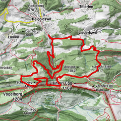
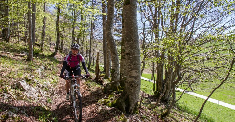
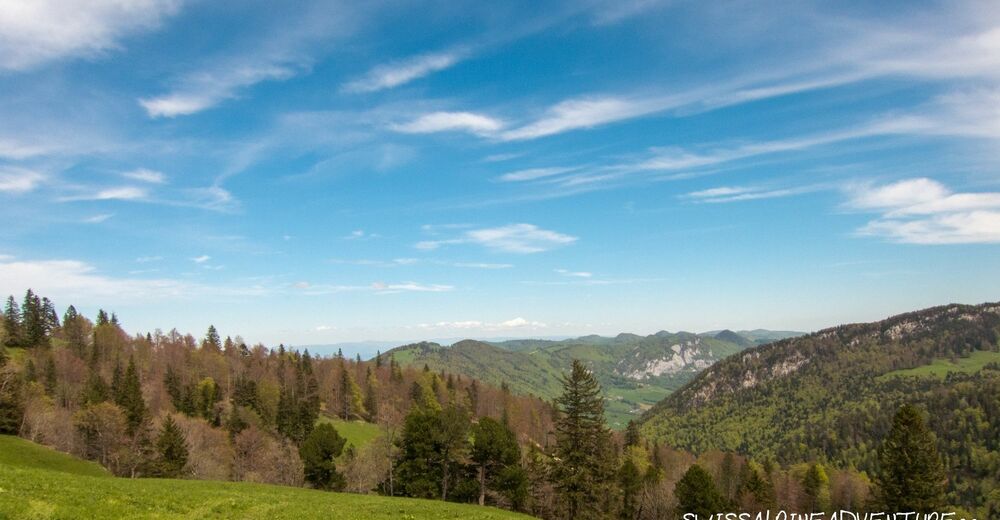
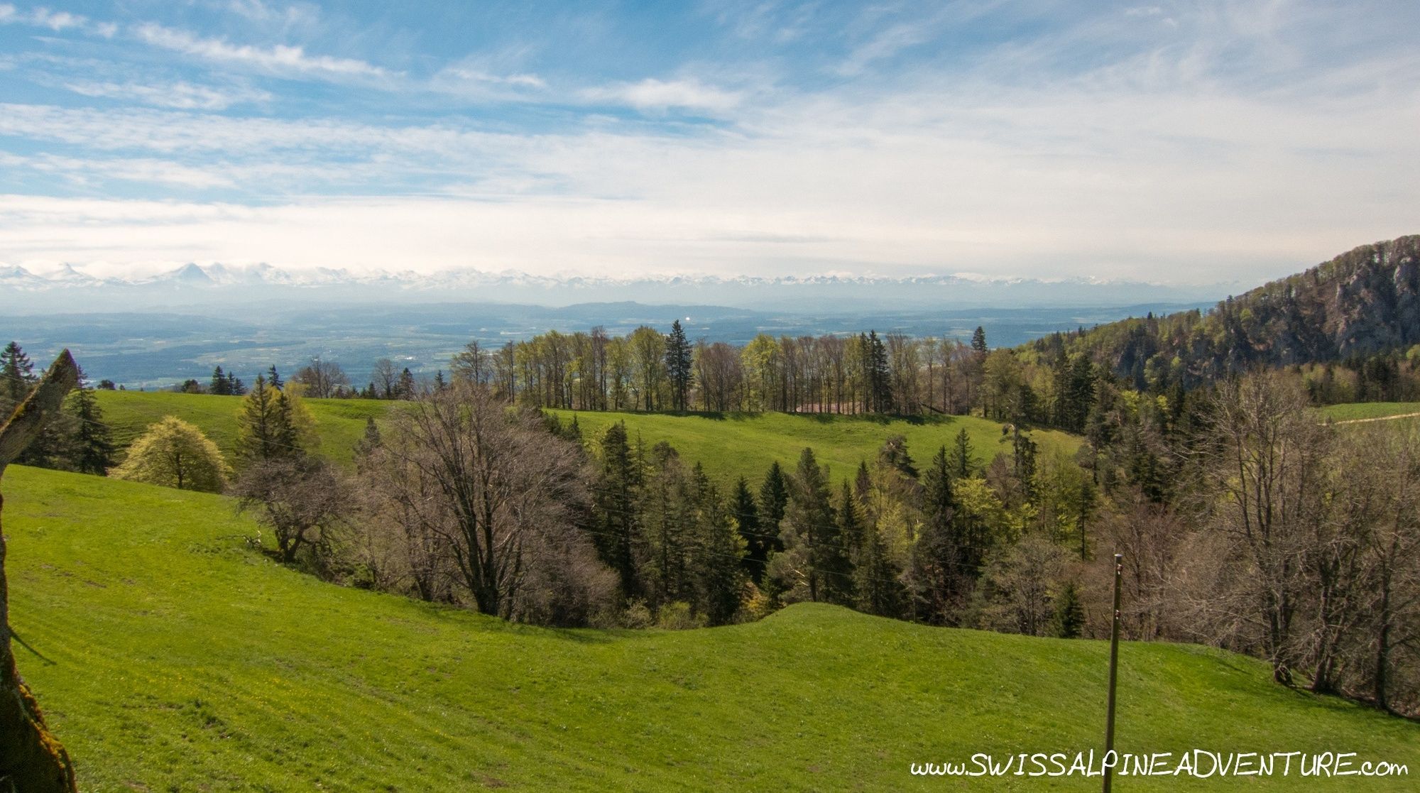
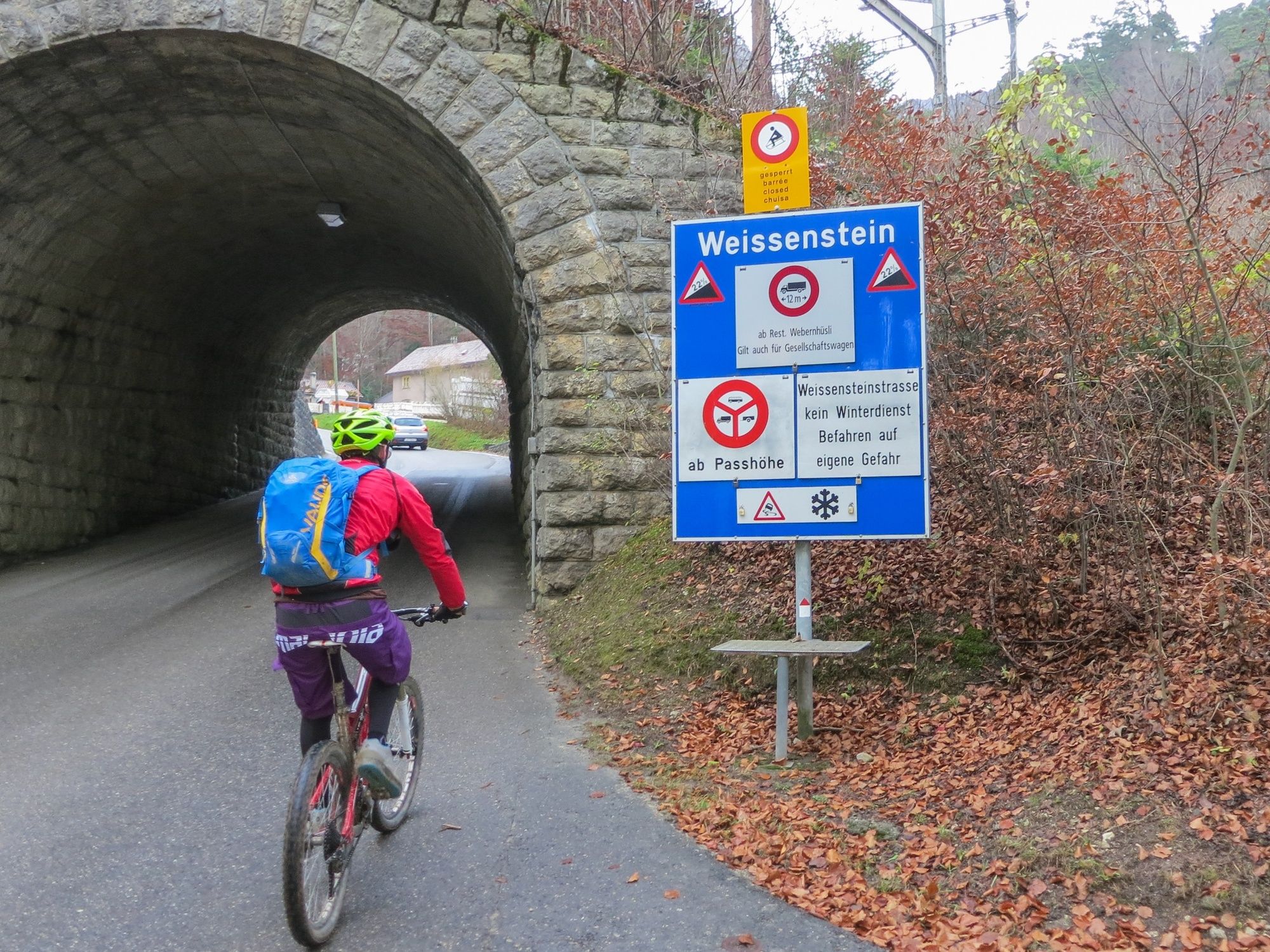
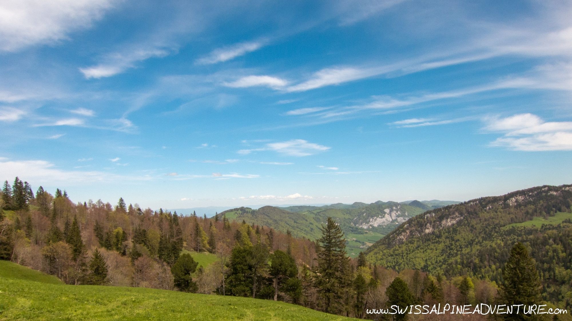
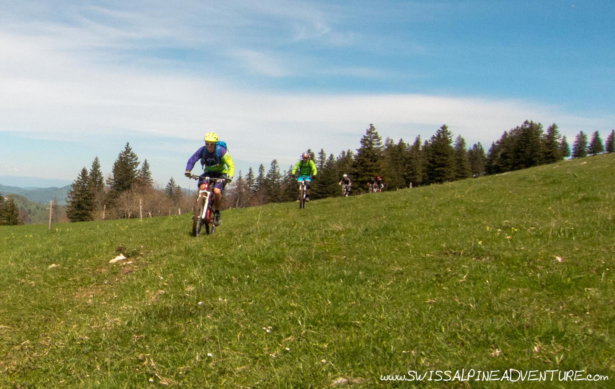
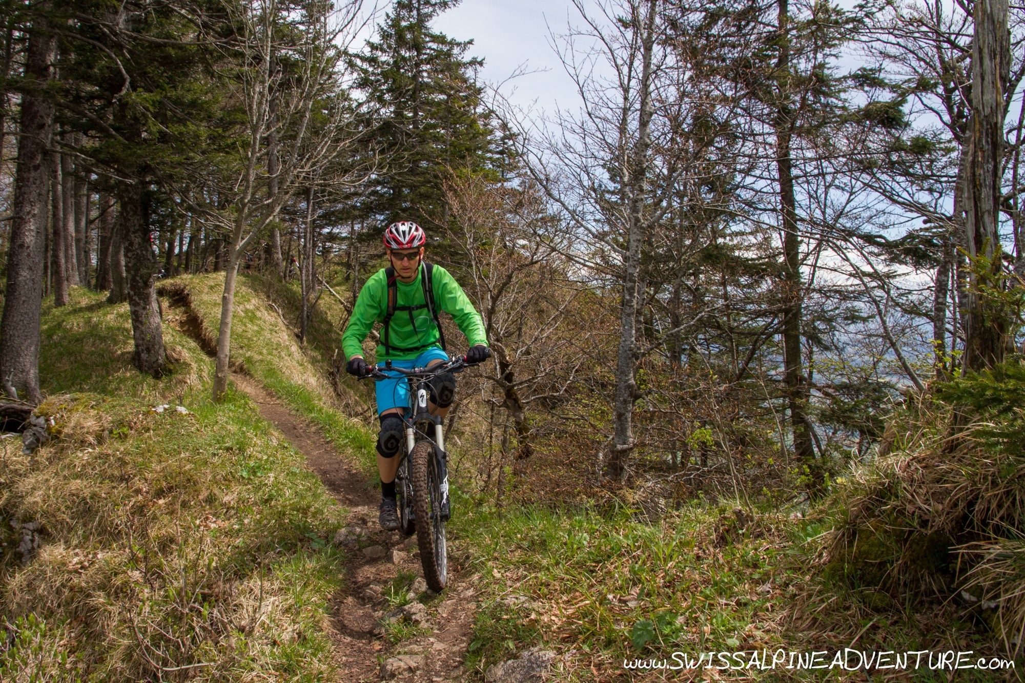
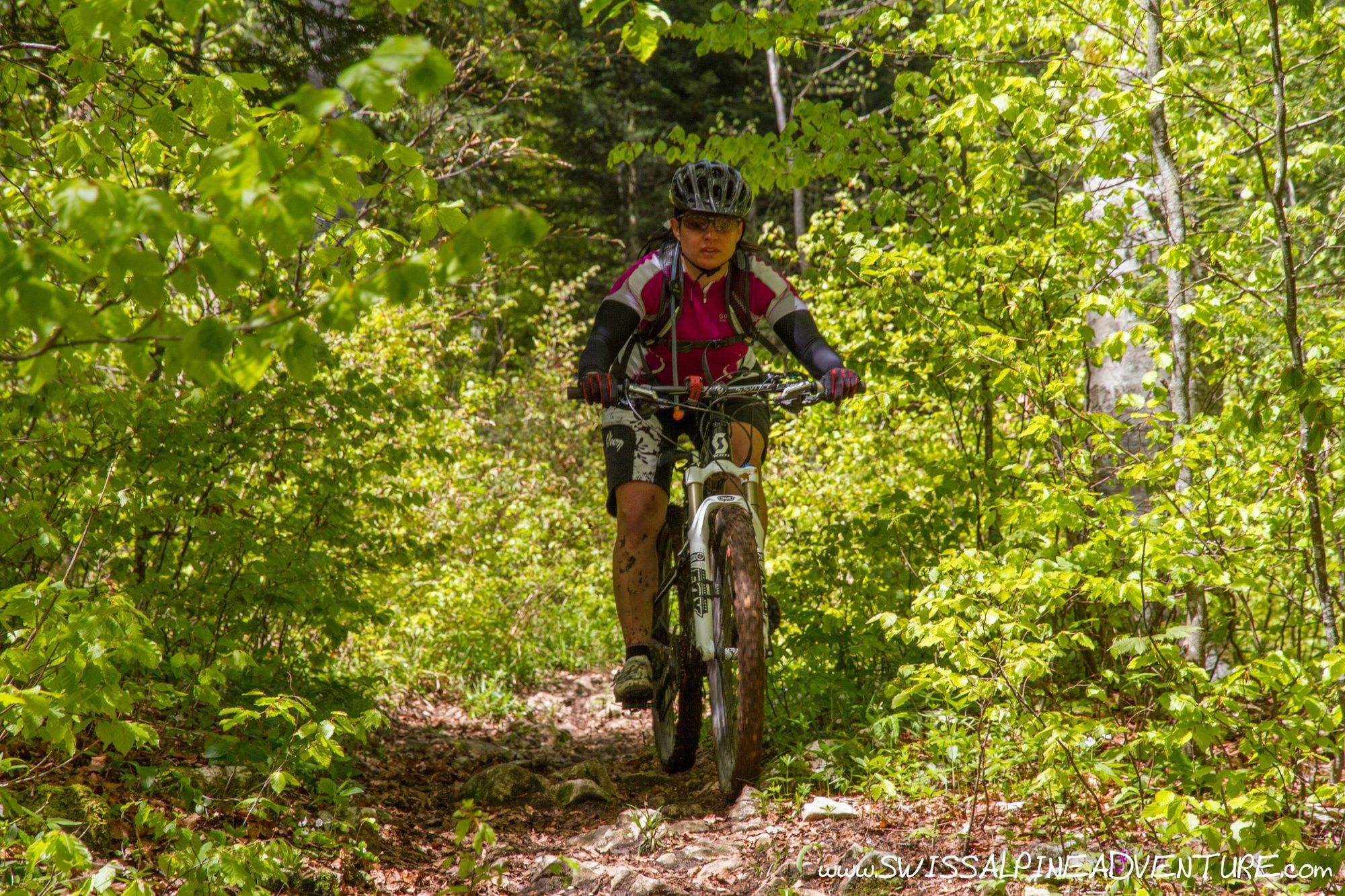
Weissenstein pass is reputed to be the steepest pass in a Switzerland with a maximum grade of 22 percent, what proves to be a challenge for road riders brings mountain bikers to some fun trails and nice views.
- Stopień trudności
-
średni
- Ocena
-
- Trasa
-
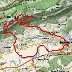
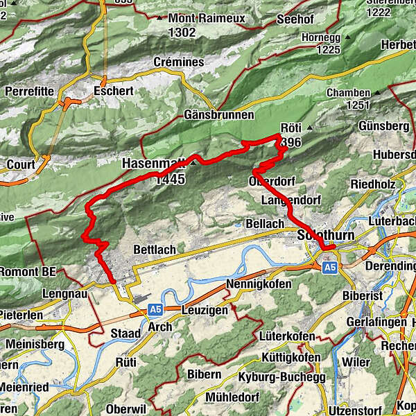
Solothurn (432 m)0,1 kmSolothurn (430 m)1,0 kmEvangelisch-Methodistische Kirche1,4 kmRoamer2,4 kmLangendorf (496 m)3,2 kmEngel4,1 kmOberdorf SO (559 m)4,7 kmOberdorf SO (655 m)5,7 kmKarma5,7 kmNesselboden9,2 kmSennhaus10,5 kmVorderweissenstein10,6 kmWeissenstein (1.284 m)10,6 kmDilitschchopf (1.330 m)12,7 kmHinterer Weissenstein12,8 kmBergrestaurant Althüsli16,4 kmMüren16,8 kmStallflue (1.409 m)18,0 kmKüferegg (1.309 m)19,0 kmWandflue (1.399 m)19,9 kmObergrenchenberg20,9 kmUntergrenchenberg22,7 kmLachen23,6 kmSchmelzi27,4 kmSt. Eusebius28,5 kmGrenchen (451 m)28,7 kmGrenchen Süd (440 m)29,2 km
- Najlepszy sezon
-
stylutmarkwimajczelipsiewrzpaźlisgru
- Najwyższy punkt
- 1.392 m
- Miejsce docelowe
-
Grenchen Train Station
- Profil wysokości
-
 © outdooractive.com
-

-
AutorWycieczka Weissenstein jest używany przez outdooractive.com pod warunkiem.
GPS Downloads


Pasy ruchu
Trial
Informacje ogólne
Przystanek odświeżania
Obiecujący
Więcej wycieczek w regionach
-
Solothurn und Region
96
-
Bucheggberg
24
-
Lommiswil
7