
- Krótki opis
-
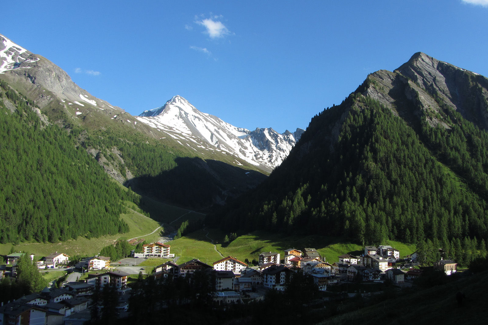
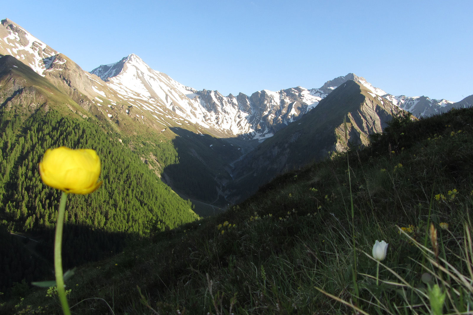
High altitude hike on the sunny side of the Samnaun valley.
- Stopień trudności
-
średni
- Ocena
-
- Trasa
-
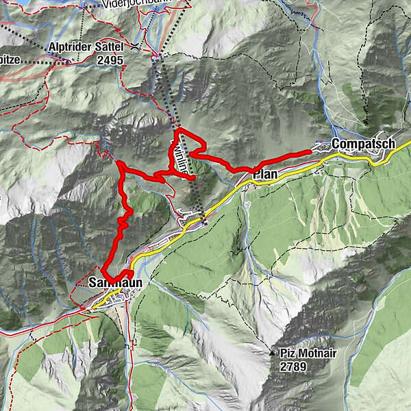
Samnaun (1.846 m)0,4 kmChe d'Mot3,9 kmPlan (1.725 m)6,4 kmLaret (1.731 m)7,0 km
- Najlepszy sezon
-
stylutmarkwimajczelipsiewrzpaźlisgru
- Najwyższy punkt
- 2.113 m
- Miejsce docelowe
-
PostBus stop Samnaun-Laret, West
- Profil wysokości
-
 © outdooractive.com
- Autor
-
Wycieczka Mot Grond and Chè d’Mot jest używany przez outdooractive.com pod warunkiem.
GPS Downloads


Informacje ogólne
Obiecujący