- Krótki opis
-
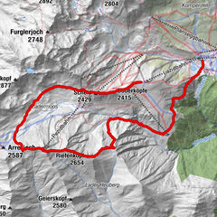
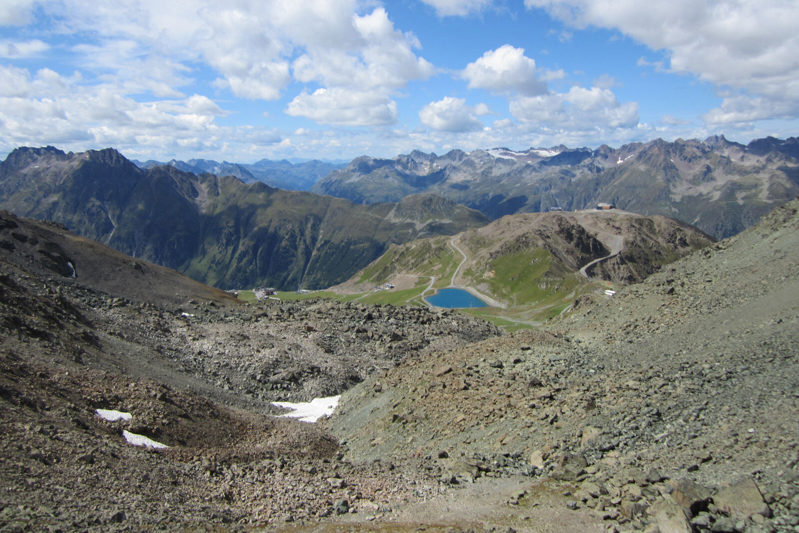
Around the border mountain Flimspitz, over an impressive rockfall and past the idyllic little lakes "Bei den Seen".
- Stopień trudności
-
średni
- Ocena
-
- Trasa
-
Alptrider Sattel (2.495 m)0,3 kmViderjochbahn 1 (2.613 m)1,3 kmFlimsattelbahn (2.735 m)2,9 kmSattel8,5 km
- Najlepszy sezon
-
stylutmarkwimajczelipsiewrzpaźlisgru
- Najwyższy punkt
- 2.747 m
- Miejsce docelowe
-
Mountain station double-decker lift, Alp Trida Sattel
- Profil wysokości
-
 © outdooractive.com


- Autor
-
Wycieczka 2-Country Hike jest używany przez outdooractive.com pod warunkiem.
GPS Downloads


Informacje ogólne
Obiecujący