- Krótki opis
-
Hike on mainly flat paths and little roads all the way around Lake Sils. With plenty of views of the lake and the surrounding peaks.
- Stopień trudności
-
średni
- Ocena
-
- Trasa
-
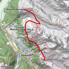
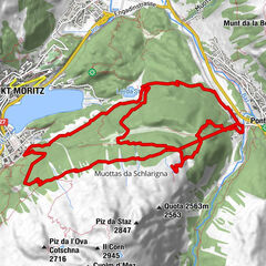
Plan Cuncheta0,4 kmIsola (See) (1.810 m)2,2 kmIsola (1.811 m)3,0 kmIls Barchiröls4,6 kmSils/Segl Maria Barchiröls (1.802 m)4,7 kmSils im Engadin (1.803 m)5,2 kmPizs5,5 kmClos5,6 kmMutals5,7 kmDotturas5,7 kmSan Lurench6,0 kmPignoulas6,2 kmGrevasalvas (1.941 m)9,5 kmBlaunca (2.037 m)10,8 kmCapolago13,2 kmMaloja (See) (1.803 m)13,3 km
- Najlepszy sezon
-
stylutmarkwimajczelipsiewrzpaźlisgru
- Najwyższy punkt
- 2.035 m
- Miejsce docelowe
-
Maloja
- Profil wysokości
-
 © outdooractive.com


- Autor
-
Wycieczka Circuit around Lake Sils jest używany przez outdooractive.com pod warunkiem.
GPS Downloads


Więcej wycieczek w regionach
-
Veltlin / Valtellina
852
-
Engadin St. Moritz
782
-
Isola
282