© Heidiland Tourismus - Werner Forrer
© Heidiland Tourismus - Werner Forrer
© Heidiland Tourismus - Werner Forrer
© Heidiland Tourismus - Werner Forrer
© Heidiland Tourismus - Werner Forrer
© Heidiland Tourismus - Werner Forrer
© Heidiland Tourismus - Werner Forrer

- Krótki opis
-
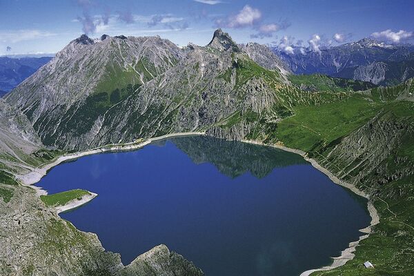
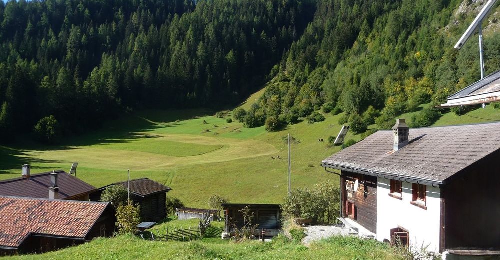
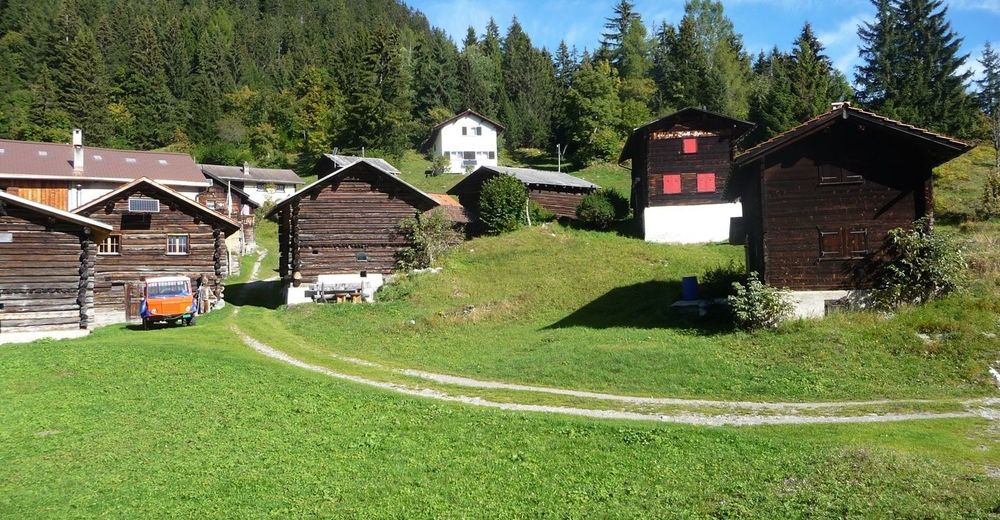
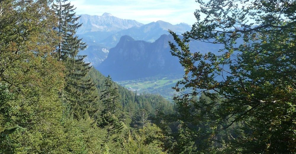
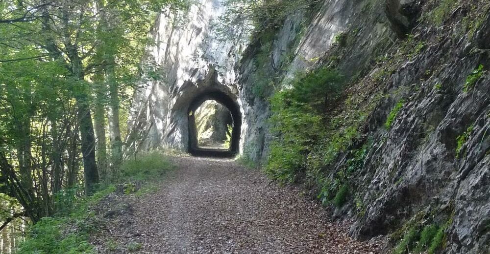
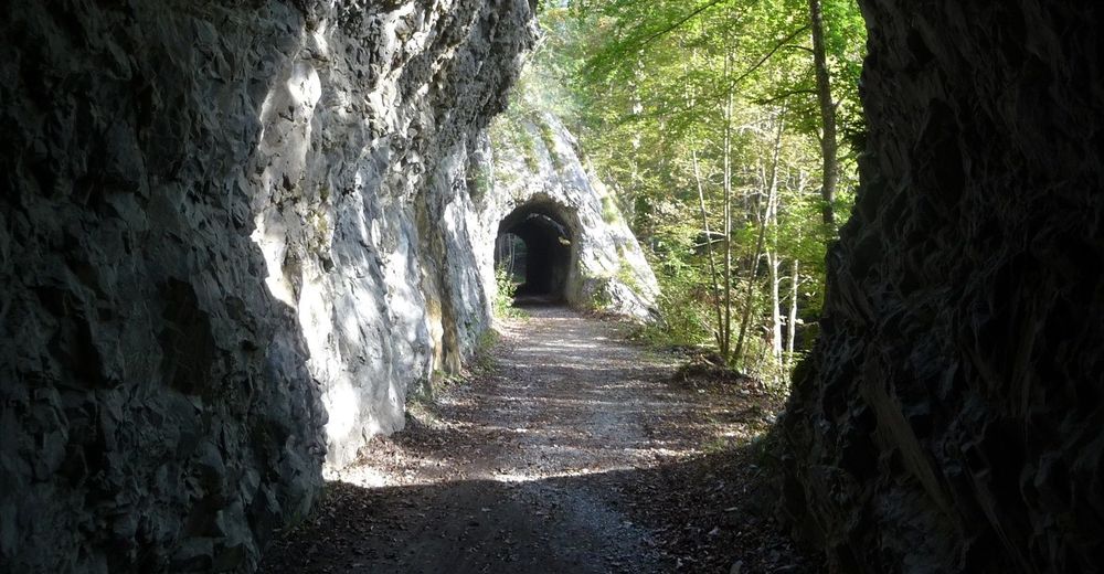
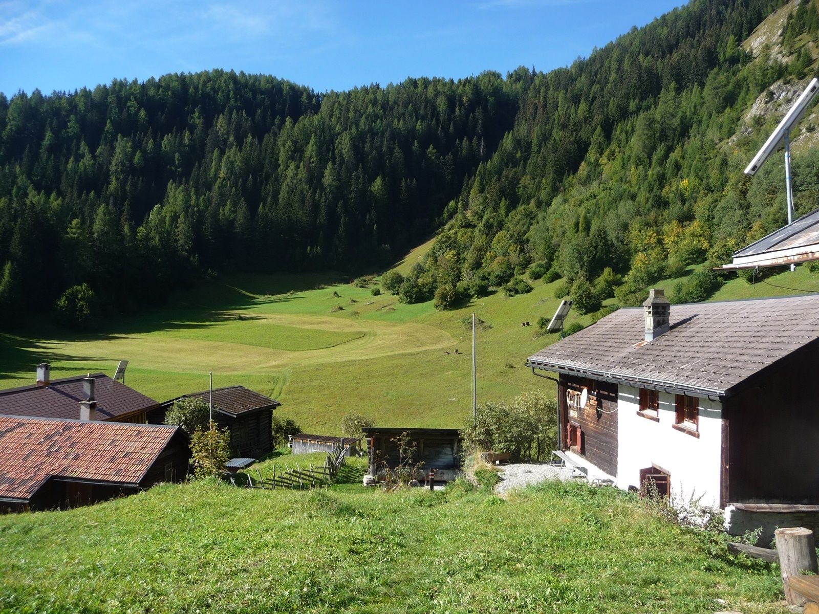
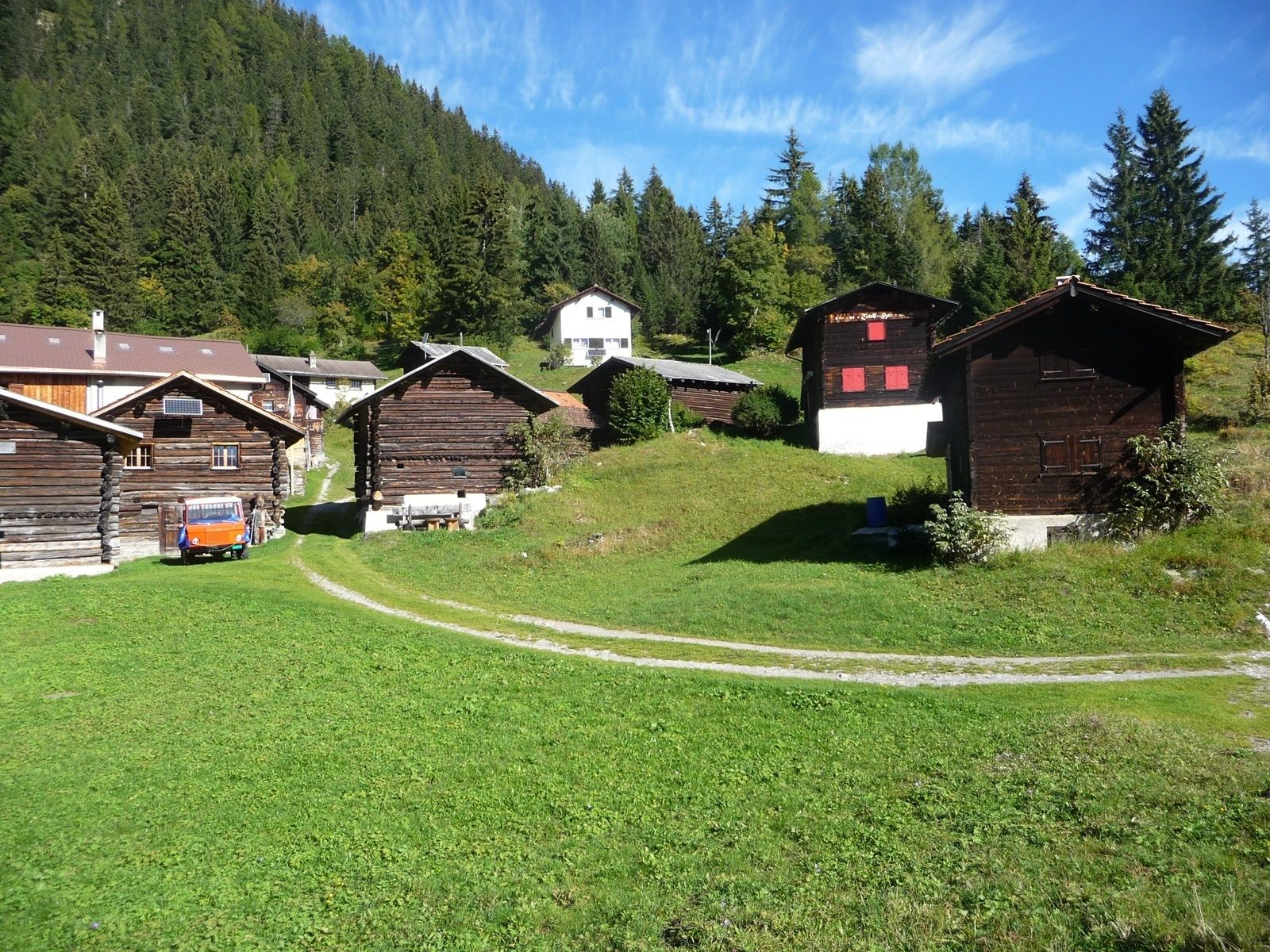
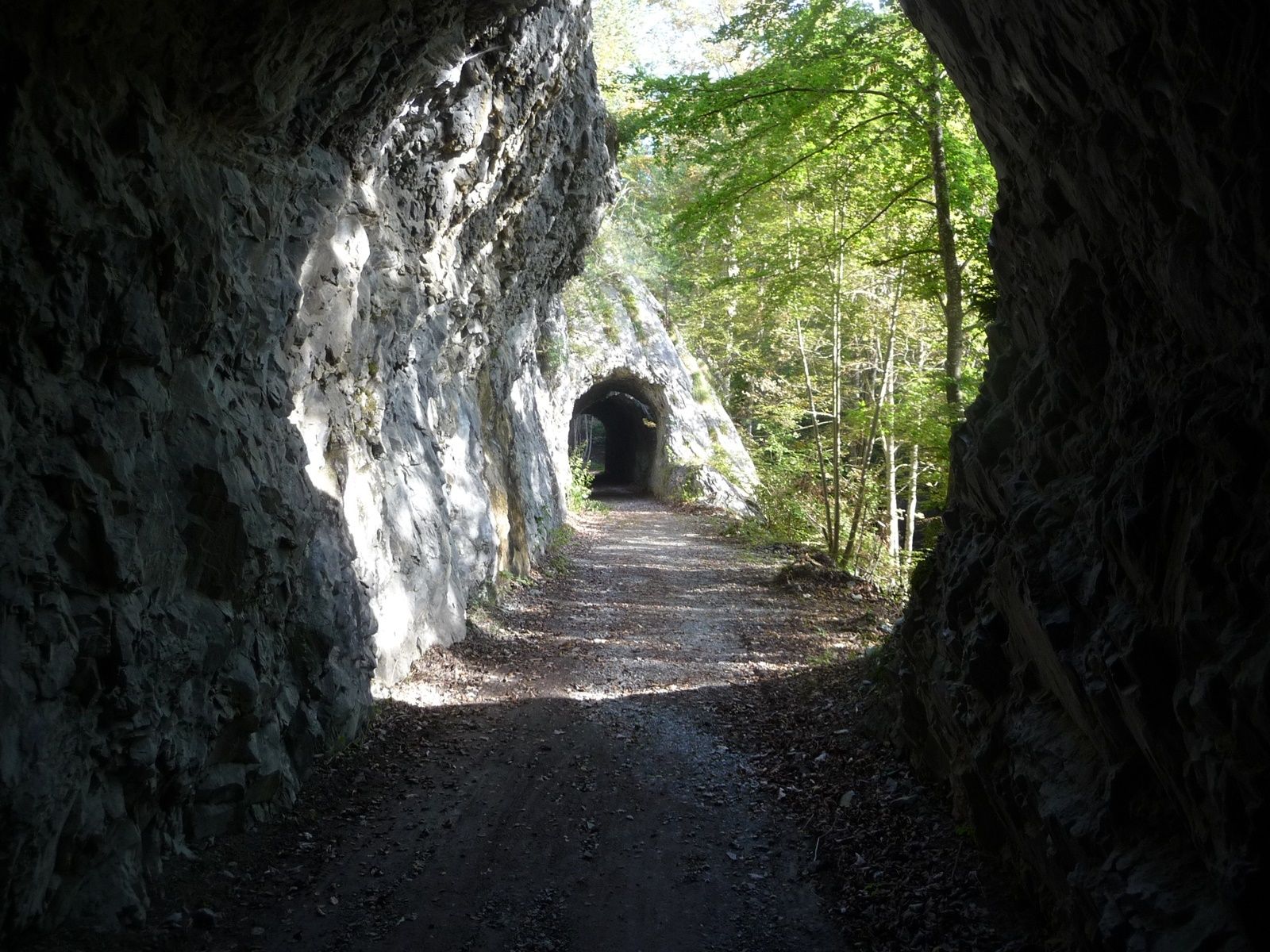
A little off the A13, shortly after Chur, on the left bank of the Rhine we find the village Untervaz, which belongs to the Five Villages area. At the foot of Calanda there is the Holcim mining area (Untervaz cement works).
- Stopień trudności
-
średni
- Ocena
-
- Trasa
-
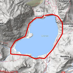
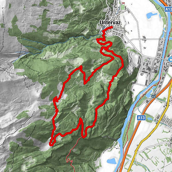
Untervaz (564 m)0,0 kmReformierte Kirche0,0 kmPramanengel2,9 kmReformierte Kirche15,7 kmUntervaz (564 m)15,7 km
- Najlepszy sezon
-
stylutmarkwimajczelipsiewrzpaźlisgru
- Najwyższy punkt
- 1.519 m
- Miejsce docelowe
-
Untervaz, Restaurant Linde
- Profil wysokości
-
 © outdooractive.com
- Autor
-
Wycieczka Untervaz jest używany przez outdooractive.com pod warunkiem.
GPS Downloads


Informacje ogólne
Obiecujący