
- Krótki opis
-
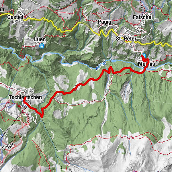
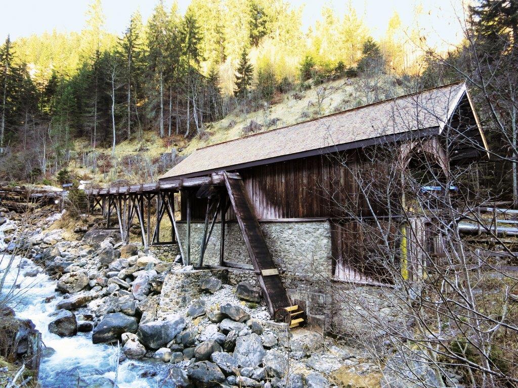
There is no shop along the main road, instead you find plenty of meadows, pastures, forest and a bridge across the Plessur river.
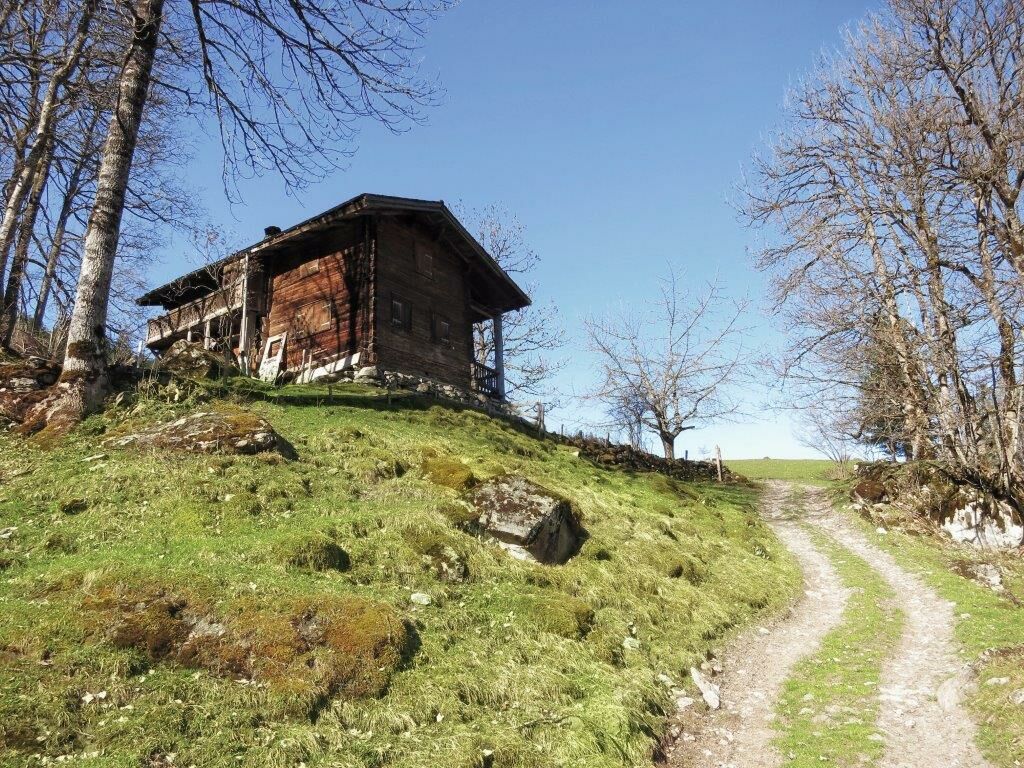
The hike starts on a small road and continues on meadow and forest paths. You may begin the hike in Tschiertschen as well as Molinis.
- Stopień trudności
-
łatwe
- Ocena
-
- Trasa
-
Central0,0 kmTschiertschen (1.343 m)0,0 kmMolinis (1.137 m)5,6 kmKirche Molinis5,7 kmSt. Peter-Molinis (1.157 m)6,2 km
- Najlepszy sezon
-
stylutmarkwimajczelipsiewrzpaźlisgru
- Najwyższy punkt
- 1.344 m
- Miejsce docelowe
-
Molinis Bahnhof
- Profil wysokości
-
 © outdooractive.com
- Autor
-
Wycieczka Cultural Hike: Tschiertschen - Molinis jest używany przez outdooractive.com pod warunkiem.
GPS Downloads


Informacje ogólne
Przystanek odświeżania
Kulturalny/Historyczny
Obiecujący