© Arosa Lenzerheide - Ferienregion Lenzerheide


- Krótki opis
-
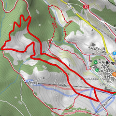
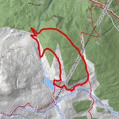
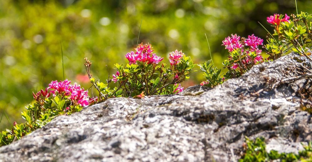
At 1’900 meters above sea level, the botanical forest educational trail starts at the centre station Scharmoin. It shows the trees, shrubs and flowers in our region. At the end of the path there are a rushing waterfall and a fireplace. A place that invites you to relax.
- Stopień trudności
-
średni
- Ocena
-
- Trasa
-
Station Scharmoin (1.904 m)Freeflow Restaurant0,0 kmScharmoin0,1 kmLenzerheide (1.476 m)4,4 km
- Najlepszy sezon
-
stylutmarkwimajczelipsiewrzpaźlisgru
- Najwyższy punkt
- 1.900 m
- Miejsce docelowe
-
Postplatz Lenzerheide
- Profil wysokości
-
 © outdooractive.com

- Autor
-
Wycieczka Alpenfloralehrpfad jest używany przez outdooractive.com pod warunkiem.
GPS Downloads


Informacje ogólne
Flora
Więcej wycieczek w regionach
-
Arosa Lenzerheide
816
-
Albula / Alvra
180