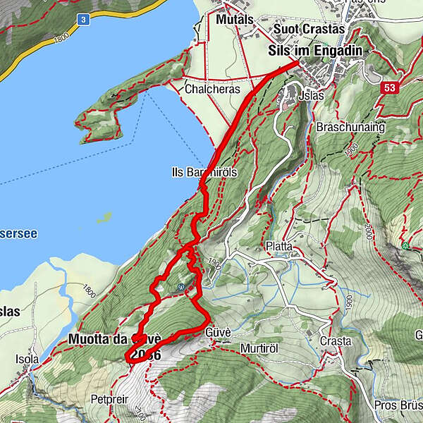
Snowshoe trail Muotta da Güvè (SwitzerlandMobility route 561)

Rakieta do chodzenia po śniegu

© Sils Tourismus - Gian Giovanoli, Sils Maria

© Sils Tourismus - Gian Giovanoli, Sils Maria

© Sils Tourismus - Gian Giovanoli, Sils Maria

© Sils Tourismus - Gian Giovanoli, Sils Maria

- Krótki opis
-
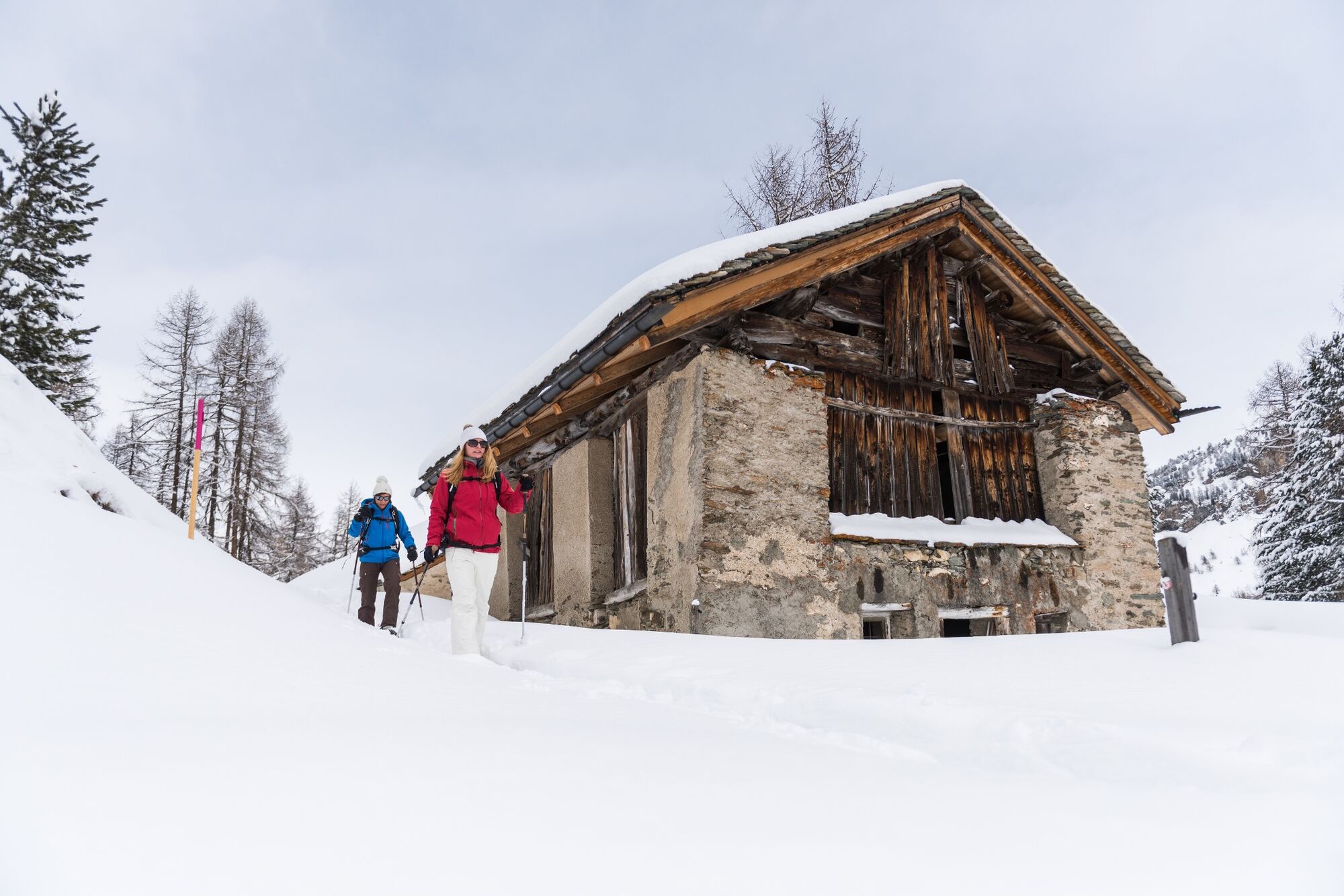
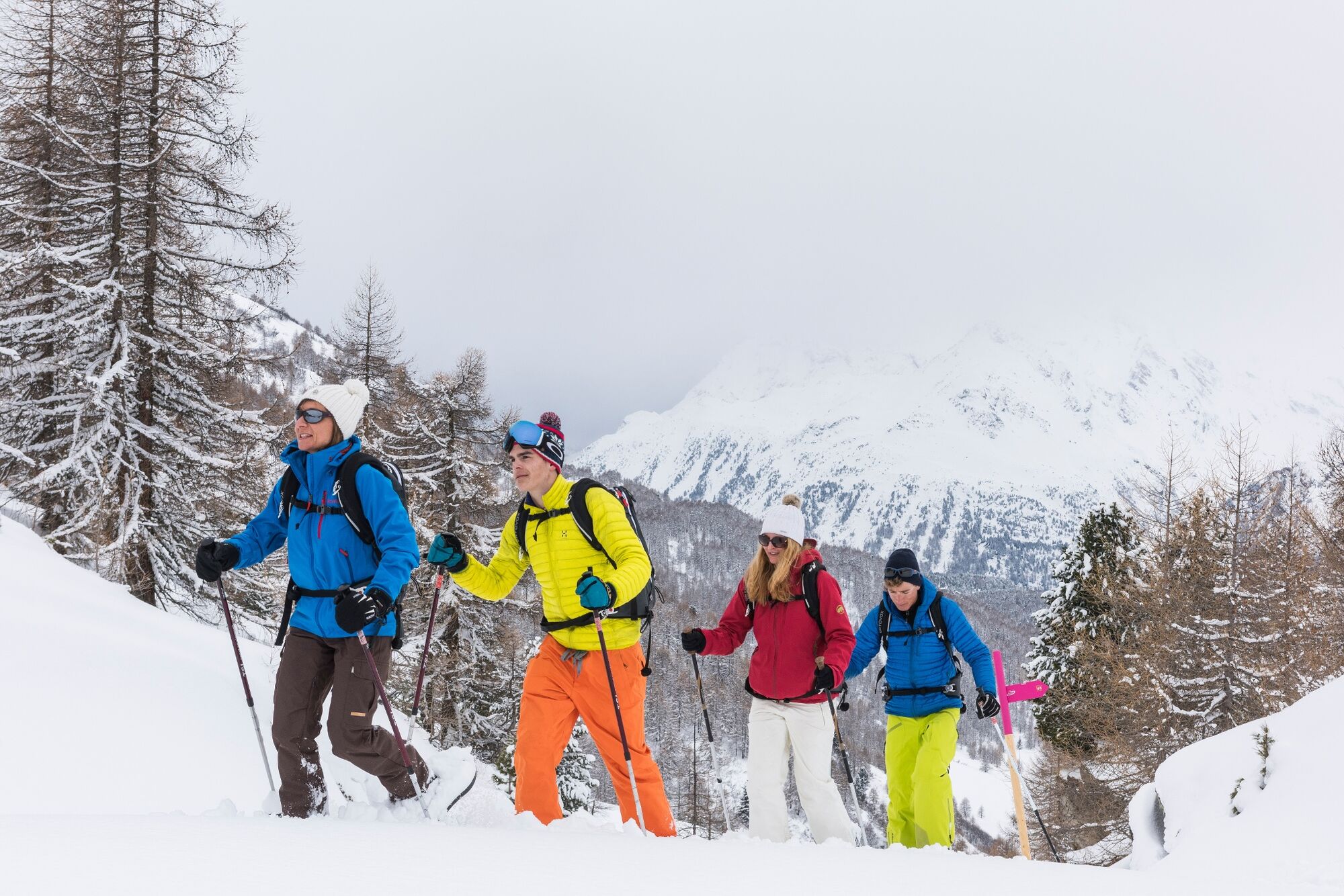
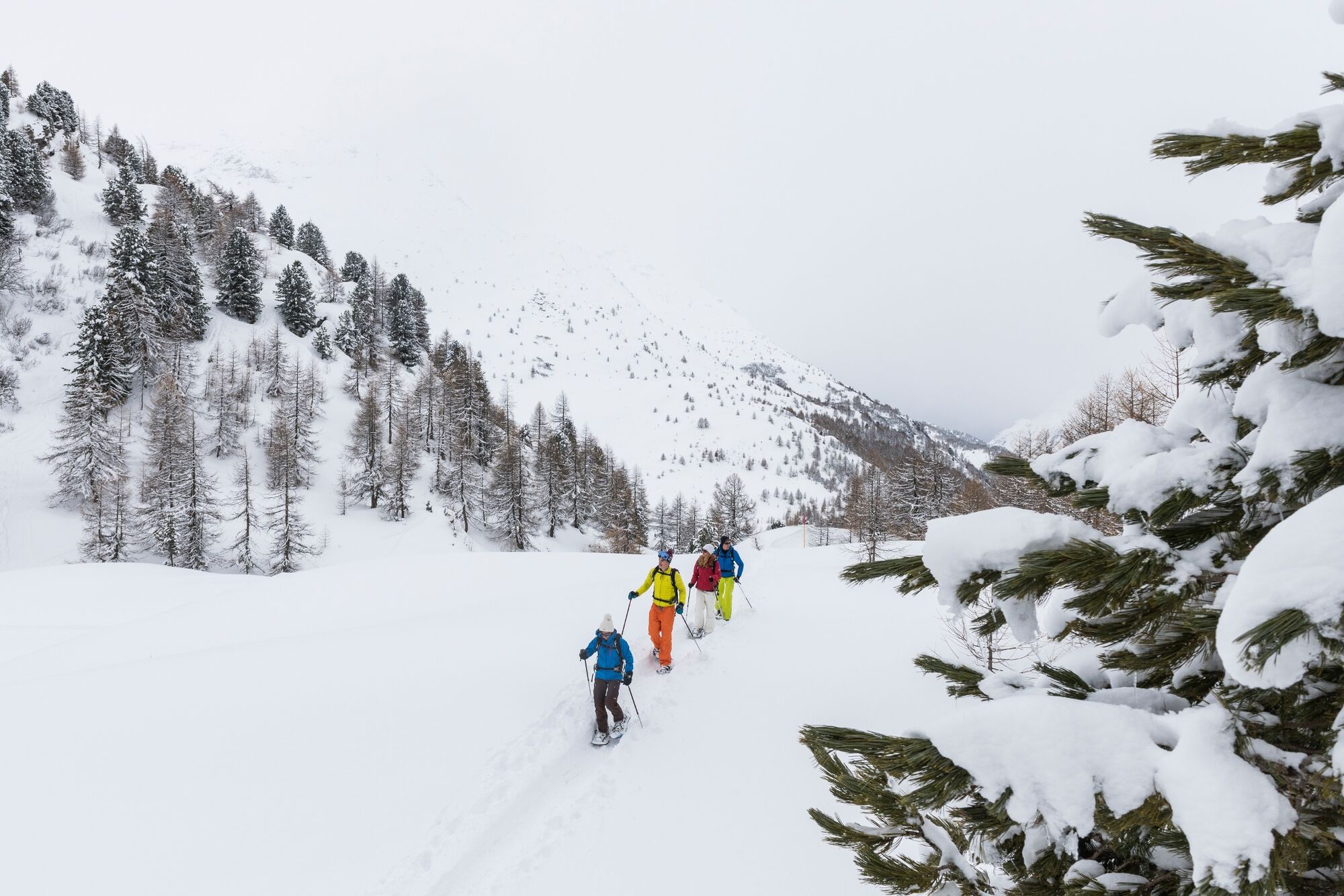
The ascend leads from Lake Sils through unspoilt mountain forest and across glades to an altitude of 2,036 metres. The views of Lake Sils, the majestic mountains, the largely untouched Val Fedoz, the Val Fex and the wintry Upper Engadine are captivating. Head back through mountain forest via the boathouse to Sils Maria.
- Stopień trudności
-
średni
- Ocena
-
- Trasa
-
Sils im Engadin (1.803 m)Spuonda Laret0,2 kmPizs0,2 kmSils/Segl Maria Barchiröls (1.802 m)0,9 kmIls Barchiröls0,9 kmMuotta da Güvè (2.036 m)2,9 kmIls Barchiröls4,2 kmSils/Segl Maria Barchiröls (1.802 m)4,4 kmPizs5,1 kmSpuonda Laret5,1 kmSils im Engadin (1.803 m)5,2 km
- Najlepszy sezon
-
siewrzpaźlisgrustylutmarkwimajczelip
- Najwyższy punkt
- 2.031 m
- Miejsce docelowe
-
Barrier near Café Grond
- Profil wysokości
-
 © outdooractive.com
- Autor
-
Wycieczka Snowshoe trail Muotta da Güvè (SwitzerlandMobility route 561) jest używany przez outdooractive.com pod warunkiem.
GPS Downloads


Informacje ogólne
Obiecujący
Więcej wycieczek w regionach
-
Veltlin / Valtellina
54
-
Engadin St. Moritz
49
-
Sils
21