© Engadin Tourismus AG - Silvan Caderas

© Engadin Tourismus AG - Silvan Caderas

© Engadin Tourismus AG - Silvan Caderas

© Engadin Tourismus AG - Silvan Caderas

© Engadin Tourismus AG - Silvan Caderas

© Engadin Tourismus AG - Silvan Caderas

© Engadin Tourismus AG - Silvan Caderas

© Engadin Tourismus AG - Silvan Caderas

© Engadin Tourismus AG - Silvan Caderas

© Engadin Tourismus AG - Silvan Caderas


- Krótki opis
-
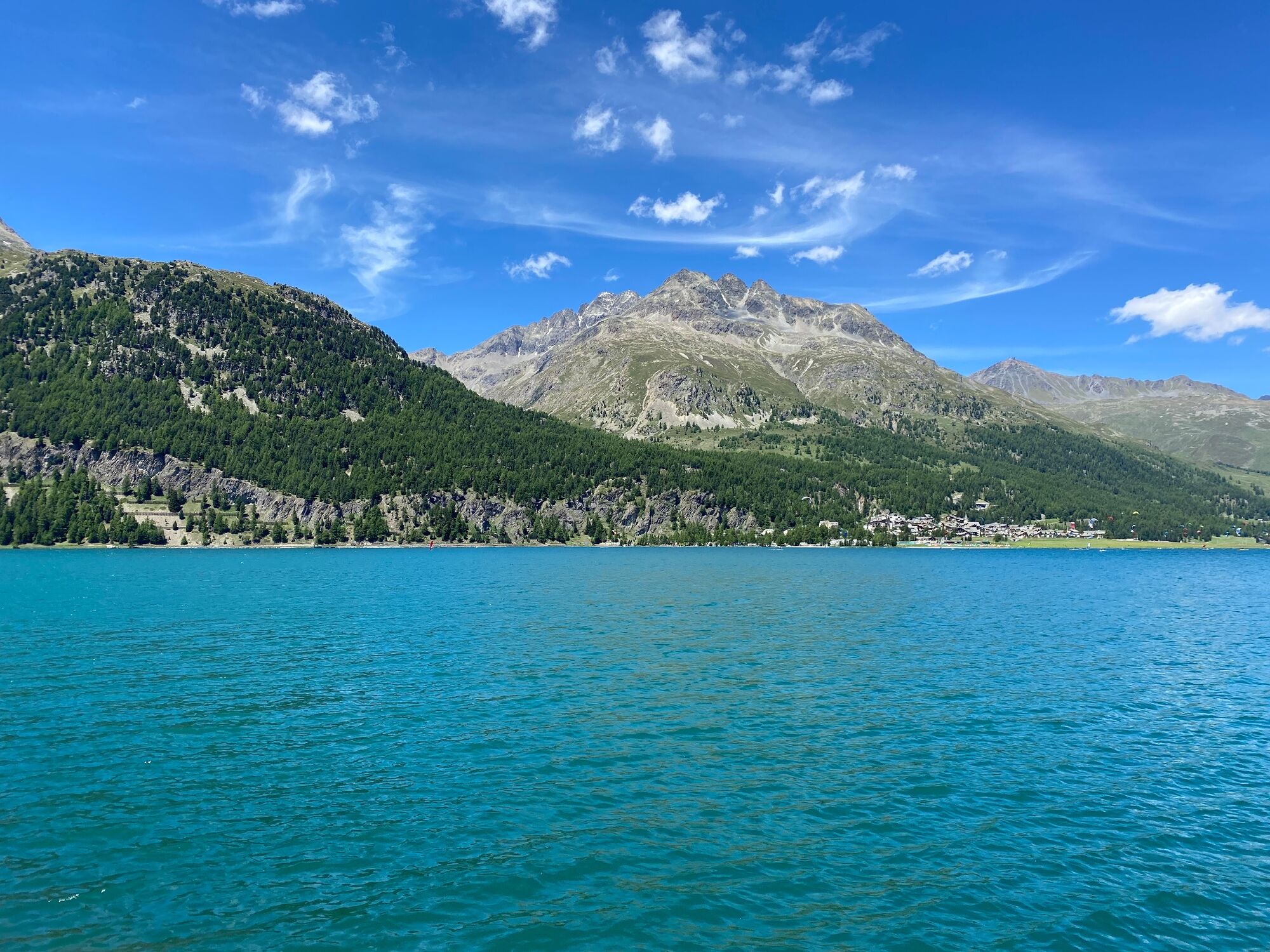
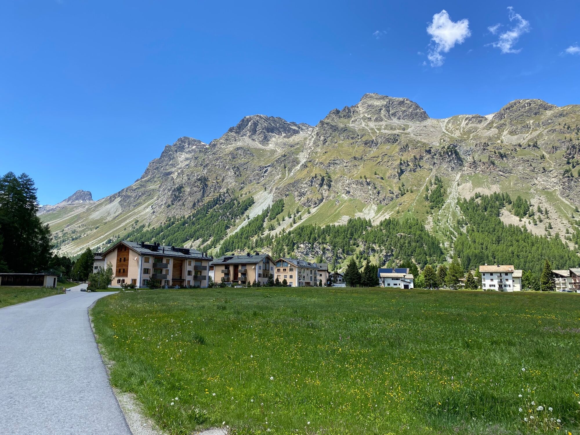
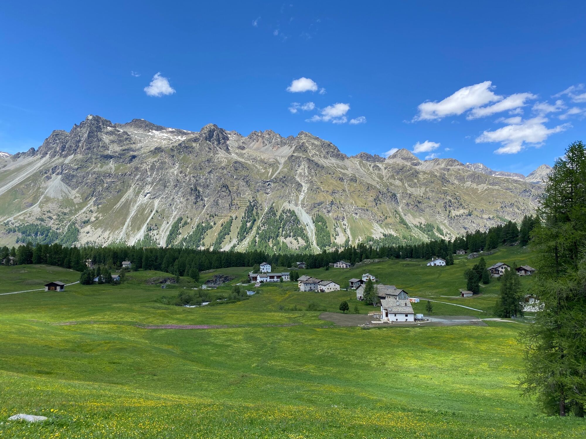
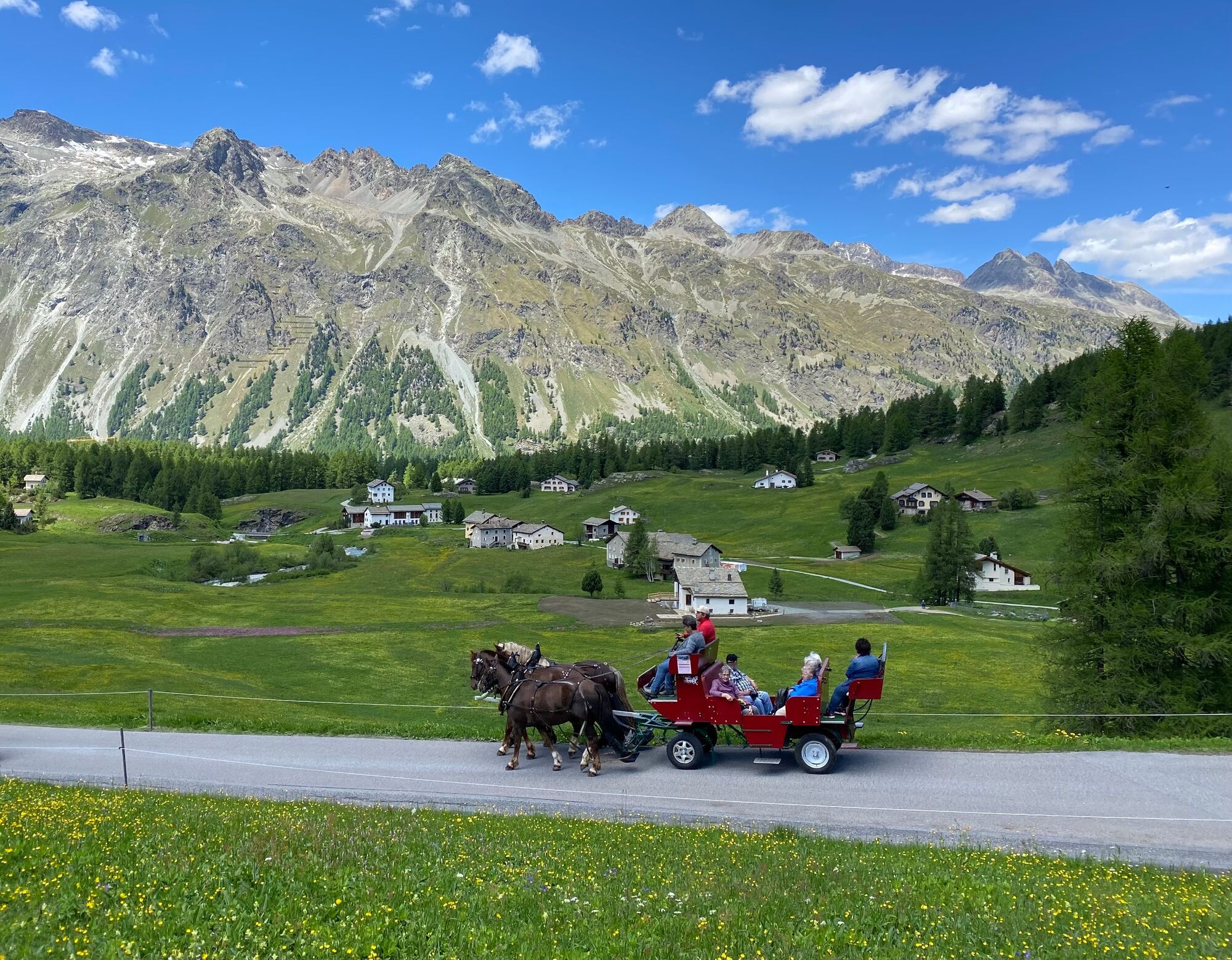
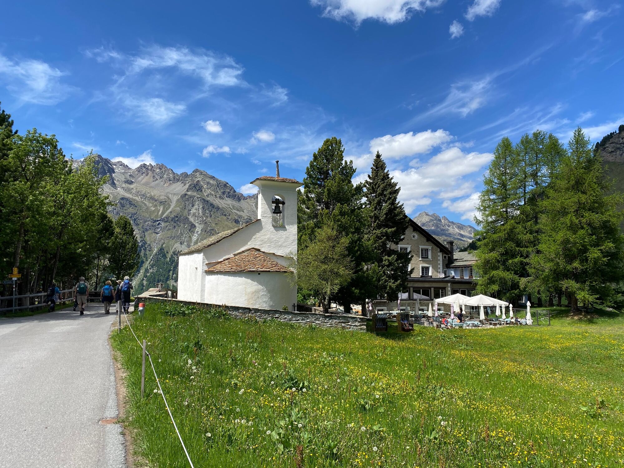
Cycle along Lake St. Moritz and over the bathing lake Lej Marsch to Lake Champfèr and then along Lake Silvaplana to Sils and from there into the lovely Val Fex.
- Stopień trudności
-
średni
- Ocena
-
- Trasa
-
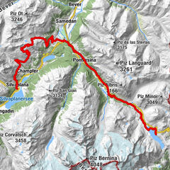
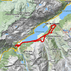
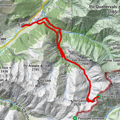
St. Moritz (1.775 m)Sankt Moritz (1.822 m)0,6 kmSankt Moritz Bad1,4 kmKirche Sankt Karl Borromäus1,8 kmChampfèr (1.825 m)4,5 kmSilvaplana (1.815 m)7,0 kmSurlej8,0 kmDavous Sellas12,5 kmSuot l'Ova12,5 kmPas-chs12,6 kmCrastas Dadour12,9 kmBar Cetto12,9 kmSuot Crastas13,0 kmSils im Engadin (1.803 m)13,1 kmReformierte Kirche13,3 kmPlatta15,2 kmCrasta16,0 kmSanta Margareta16,0 kmHotel Fex18,1 kmCurtins18,7 kmCrasta20,4 kmSanta Margareta20,4 kmPlatta21,2 kmReformierte Kirche23,2 kmSils im Engadin (1.803 m)23,3 kmBar Cetto23,4 kmSuot Crastas23,5 kmCrastas Dadour23,5 kmPas-chs23,7 kmSuot l'Ova23,8 kmDavous Sellas23,8 kmSurlej28,4 kmSilvaplana (1.815 m)29,4 kmChampfèr (1.825 m)31,6 kmSt. Rochus31,6 kmRestaurant Talvo by Dalsass31,6 kmPrimula31,7 kmSuvretta32,7 kmChasellas-Suvretta32,8 kmSankt Moritz (1.822 m)35,4 kmSt. Moritz (1.775 m)36,3 km
- Najlepszy sezon
-
stylutmarkwimajczelipsiewrzpaźlisgru
- Najwyższy punkt
- 1.970 m
- Miejsce docelowe
-
St. Moritz railway station
- Profil wysokości
-
 © outdooractive.com


- Autor
-
Wycieczka The lakes of the Upper Engadin with Val Fex jest używany przez outdooractive.com pod warunkiem.
GPS Downloads


Informacje ogólne
Przystanek odświeżania
Flora
Obiecujący
Więcej wycieczek w regionach