


Lai Nair
Zdjęcia naszych użytkowników
-
 © Stefan38Utworzono dnia 18.10.2025
 -
 © Stefan38Utworzono dnia 18.10.2025
 -
 © Melle KoletzkiUtworzono dnia 08.09.2025
 -
 © Melle KoletzkiUtworzono dnia 08.09.2025
 -
 © Melle KoletzkiUtworzono dnia 08.09.2025
 -
 © Melle KoletzkiUtworzono dnia 08.09.2025
 -
 © Thomas PfiffnerUtworzono dnia 21.06.2025
 -
 © Thomas PfiffnerUtworzono dnia 21.06.2025
 -
 © Thomas PfiffnerUtworzono dnia 21.06.2025
 -
 © Thomas PfiffnerUtworzono dnia 21.06.2025
 -
 © Thomas PfiffnerUtworzono dnia 21.06.2025
 -
 © Thomas PfiffnerUtworzono dnia 21.06.2025
 -
 © Thomas PfiffnerUtworzono dnia 21.06.2025
 -
 © Thomas PfiffnerUtworzono dnia 21.06.2025
 -
 © Thomas PfiffnerUtworzono dnia 21.06.2025
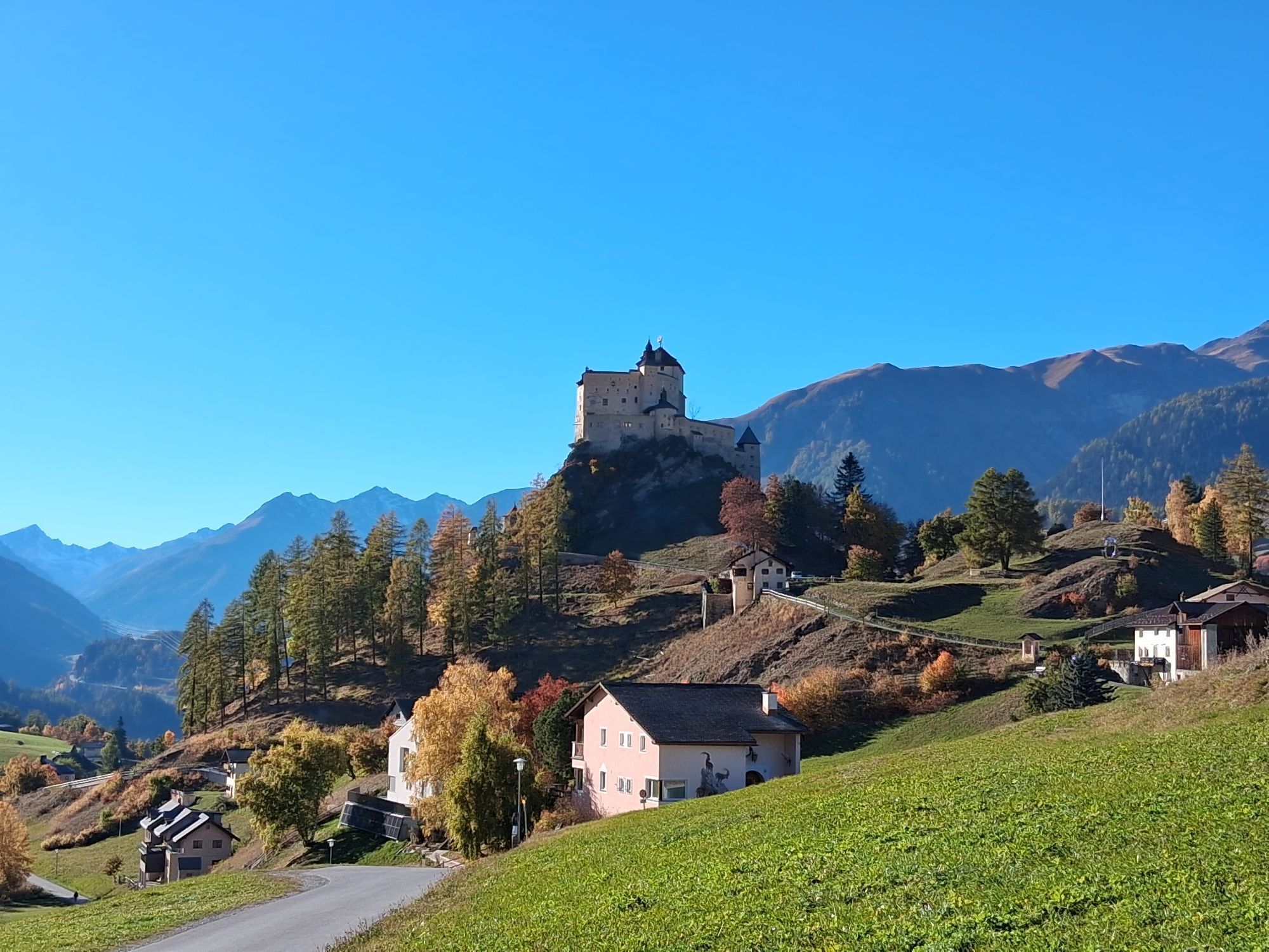


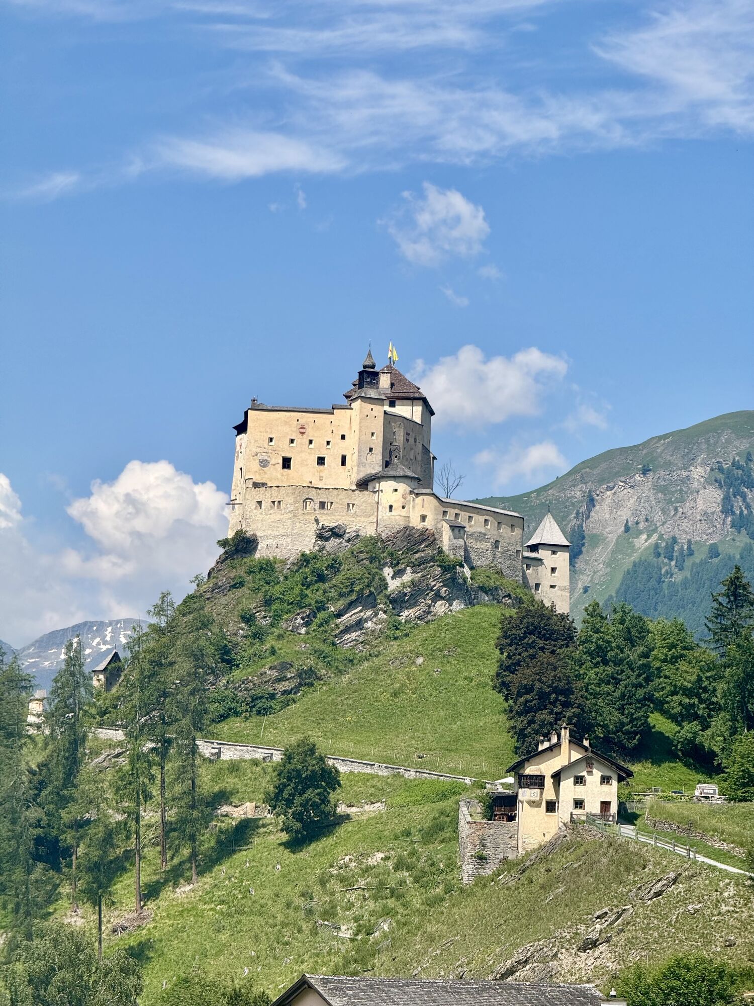
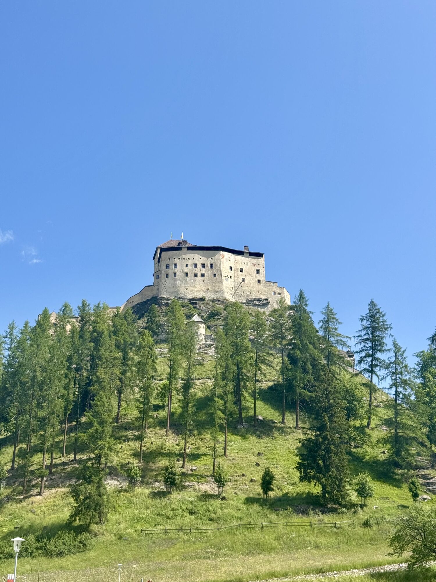
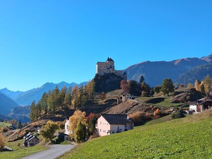
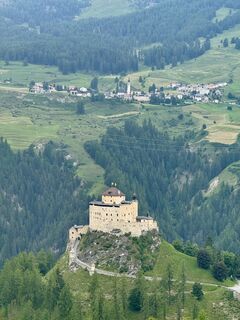
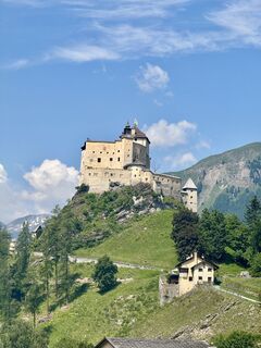
Your route starts in the Engadine village of Tarasp. From the very beginning, there is much to see with the imposing castle, the small lake «Lai da Tarasp» and the beautiful Engadine houses. As soon as...
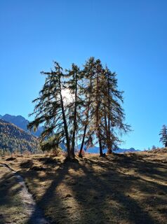
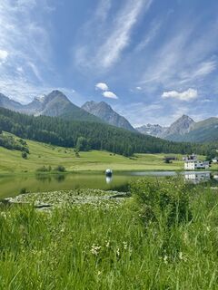
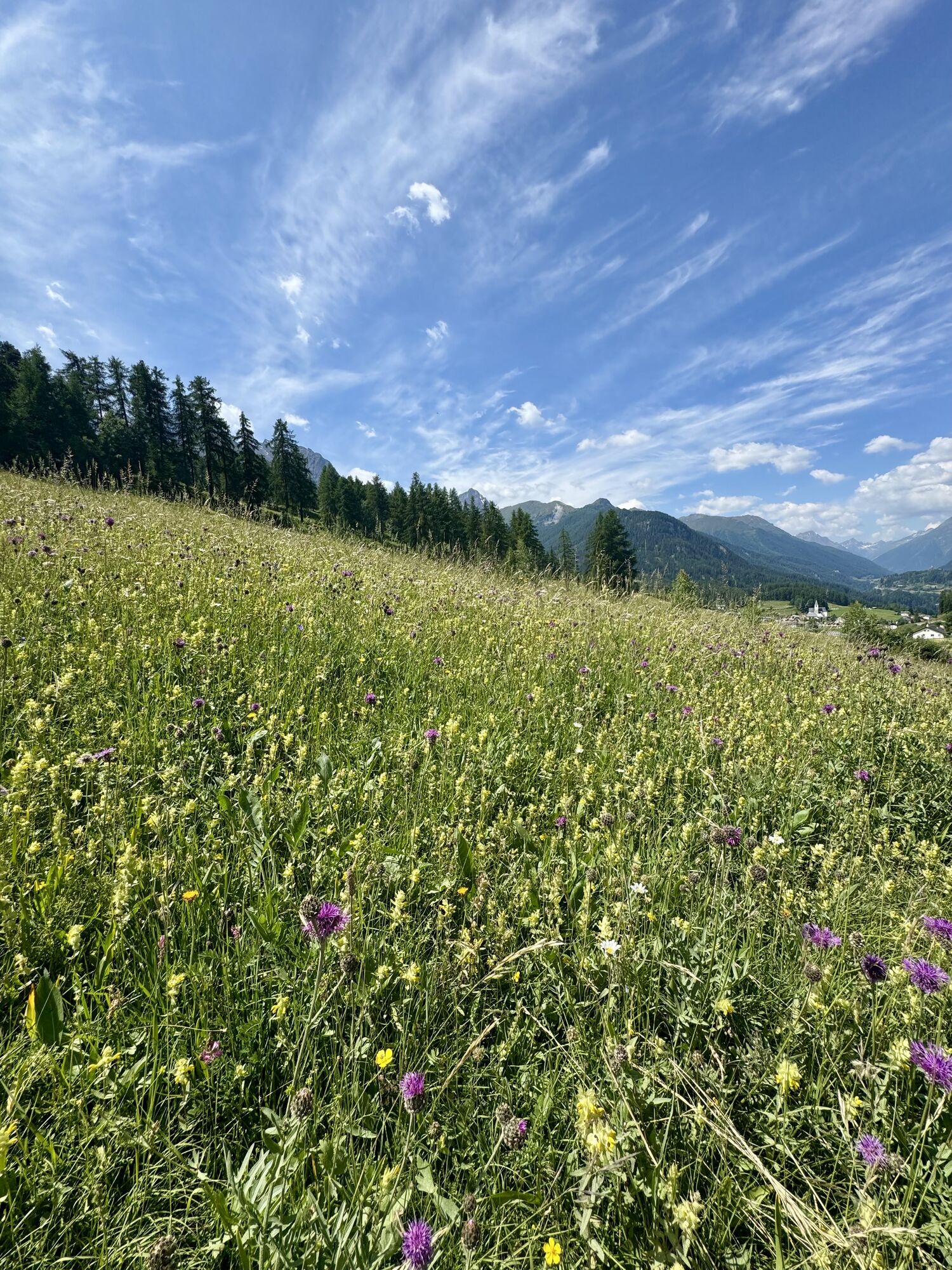
Your route starts in the Engadine village of Tarasp. From the very beginning, there is much to see with the imposing castle, the small lake «Lai da Tarasp» and the beautiful Engadine houses. As soon as you leave the village, you enter the beautiful forested landscape surrounding Tarasp. On the circular route, you pass the Catholic church Tarasp and the viewpoint «Mot da la Crusch». It is recommended to take a short break here and enjoy the view.
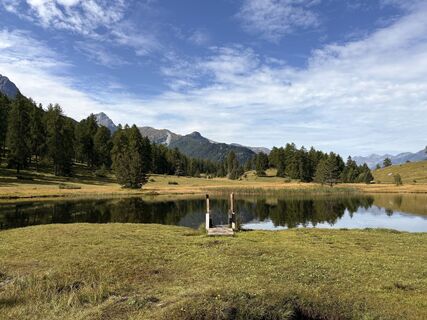
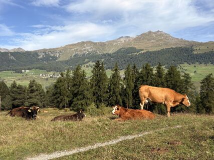
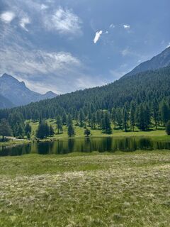
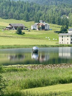
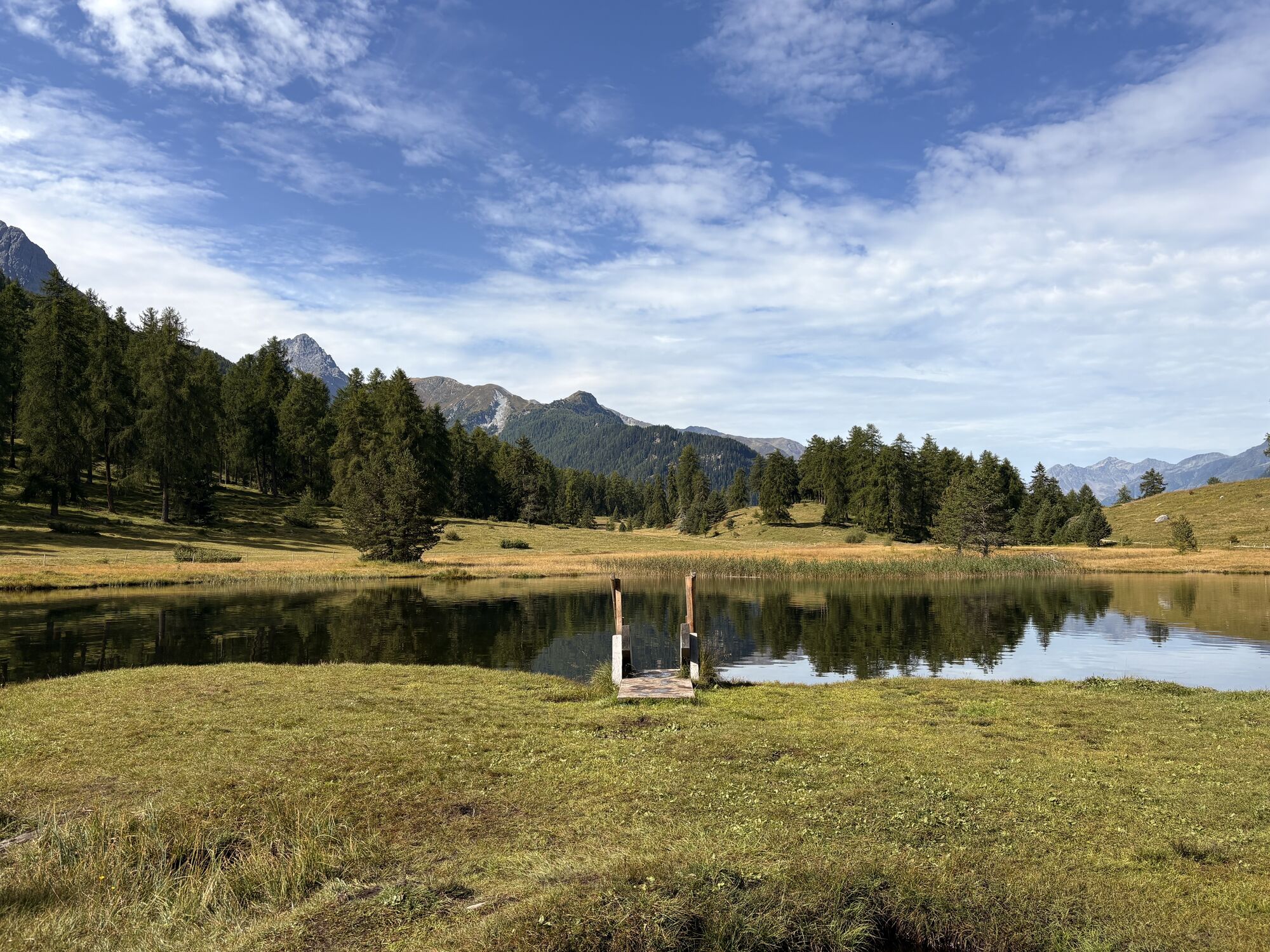
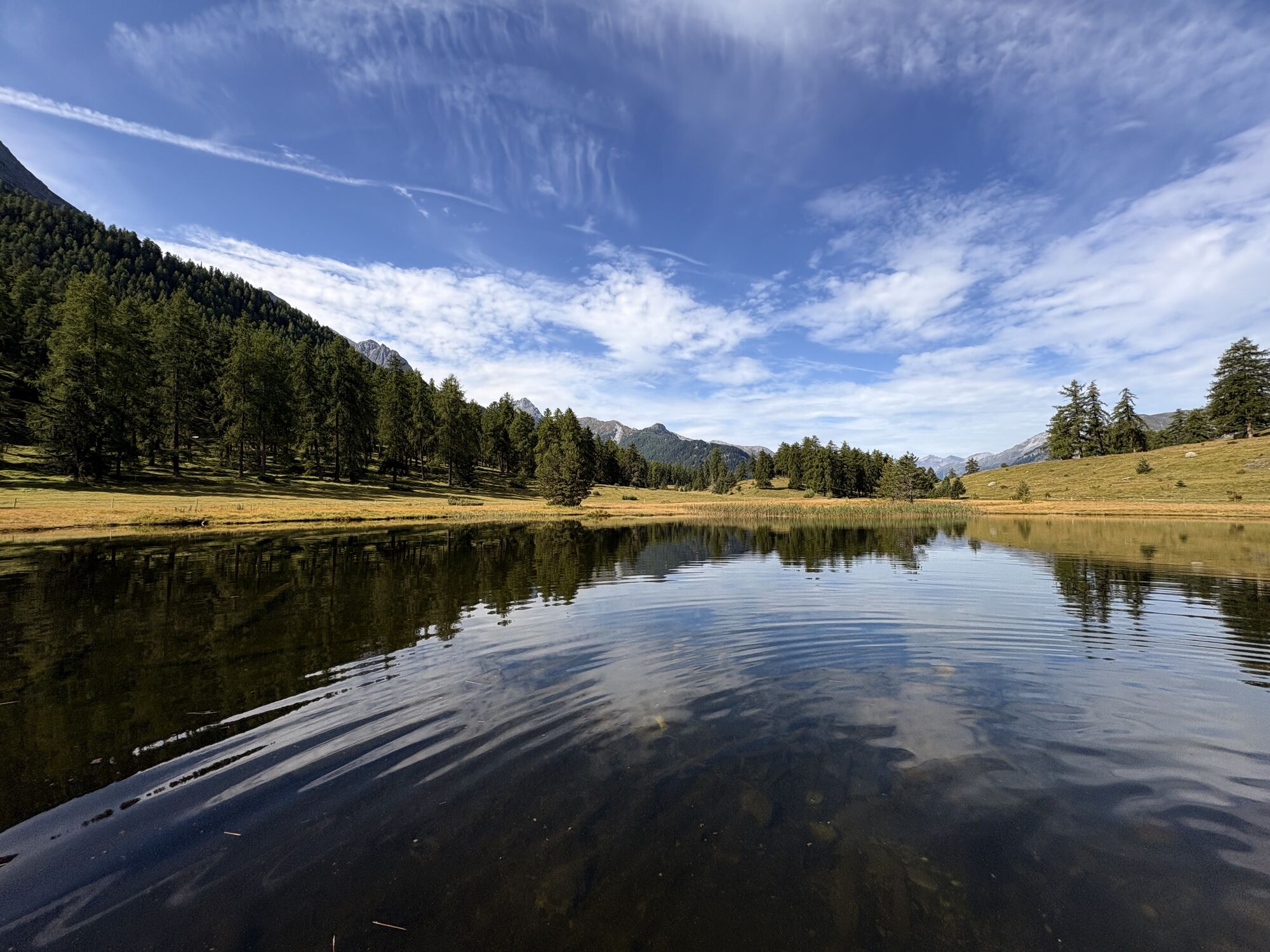
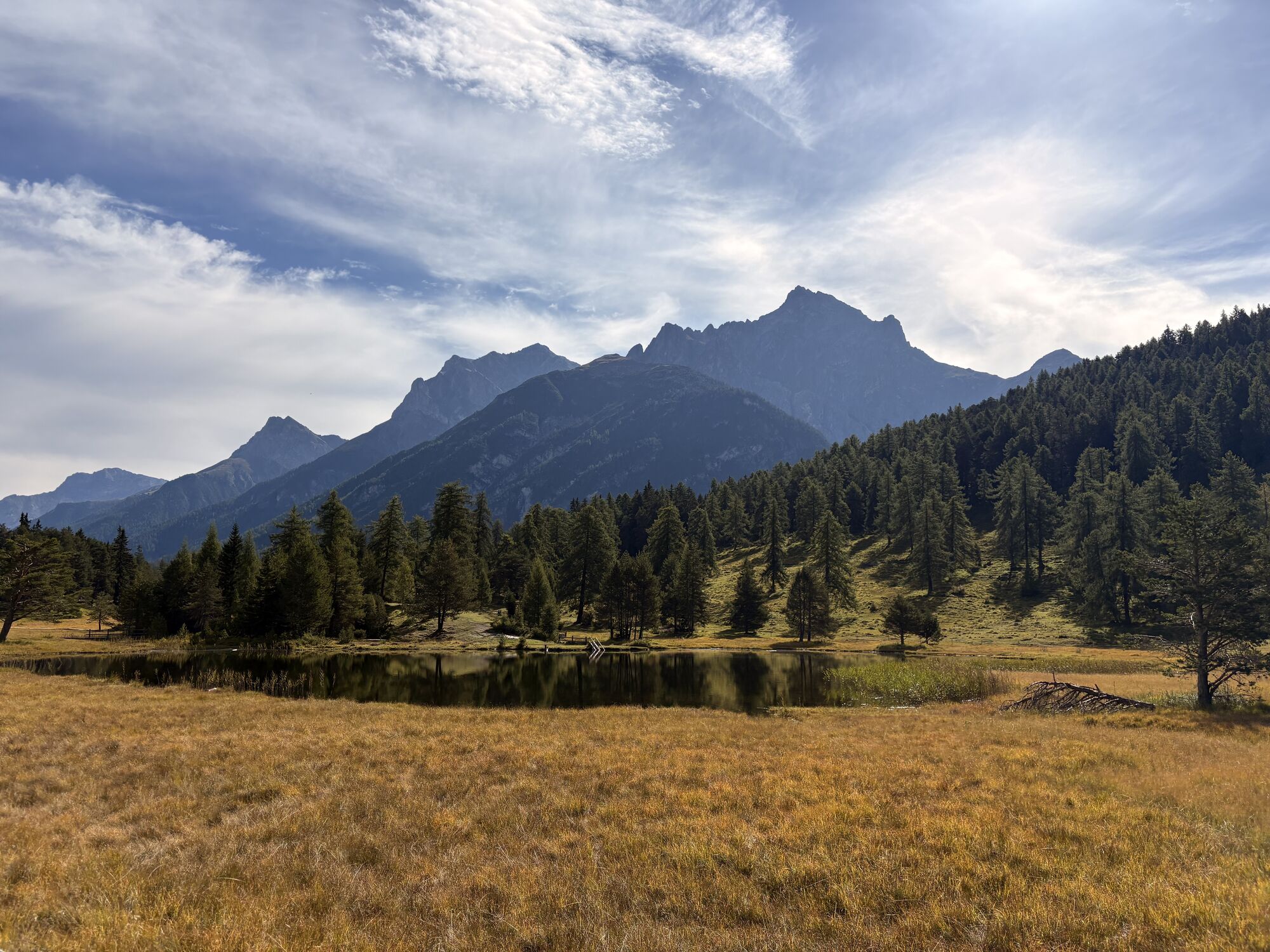
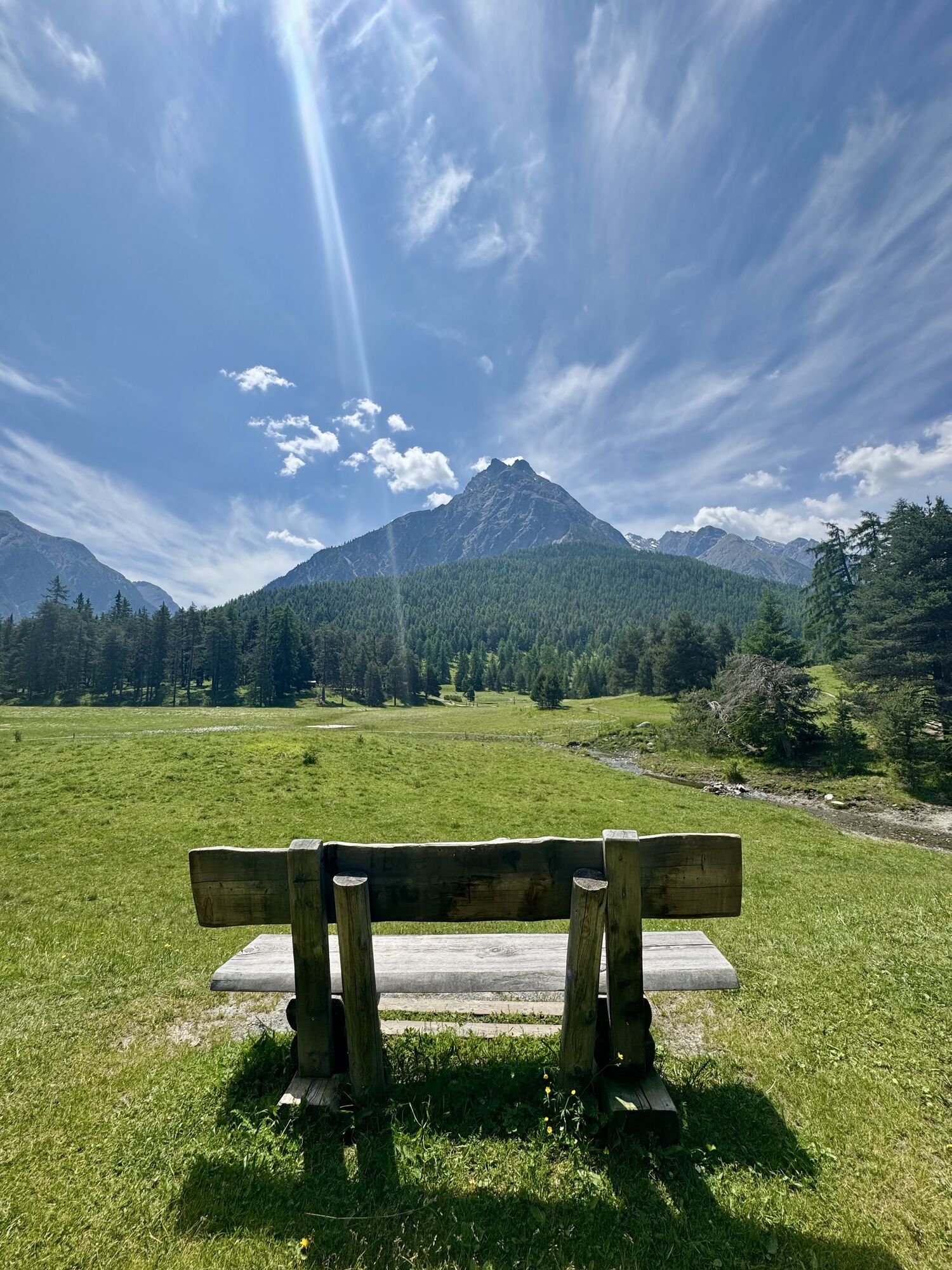
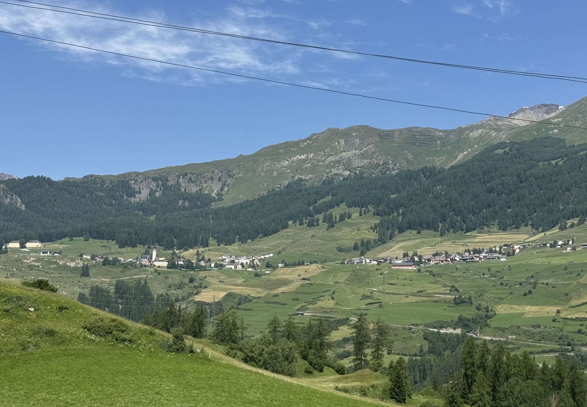
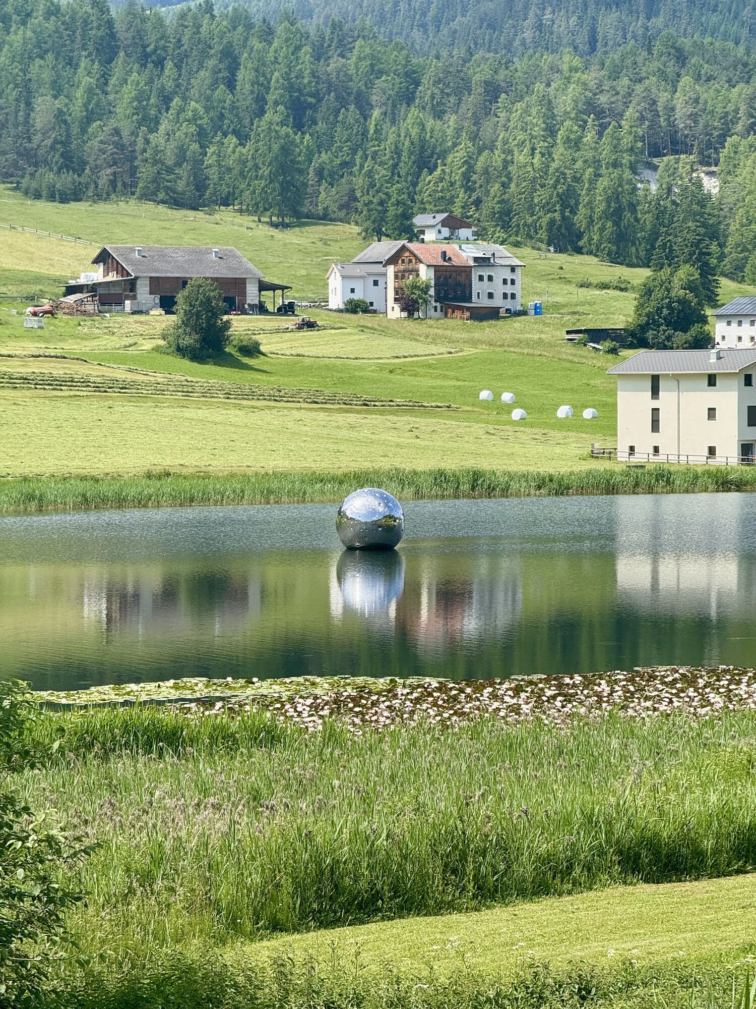
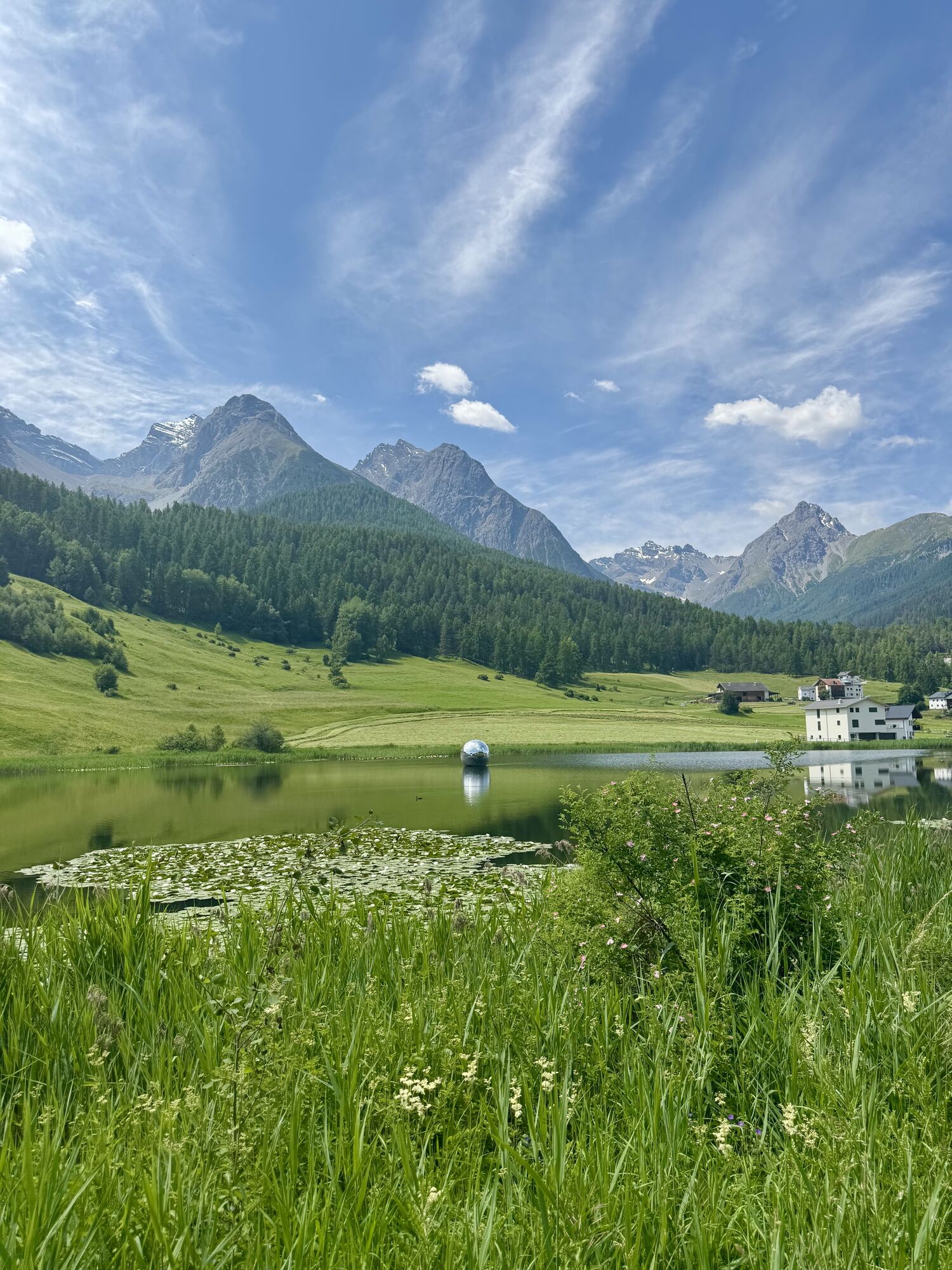
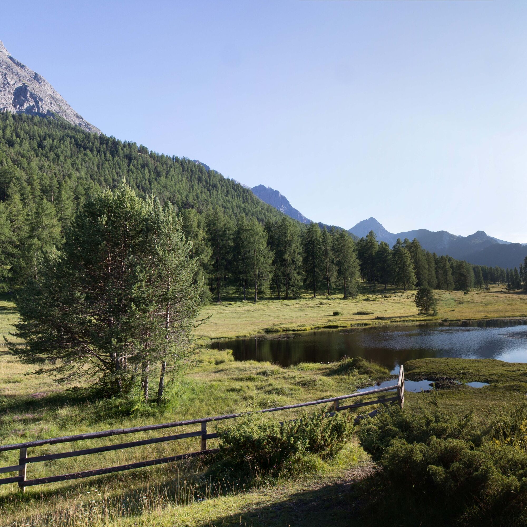
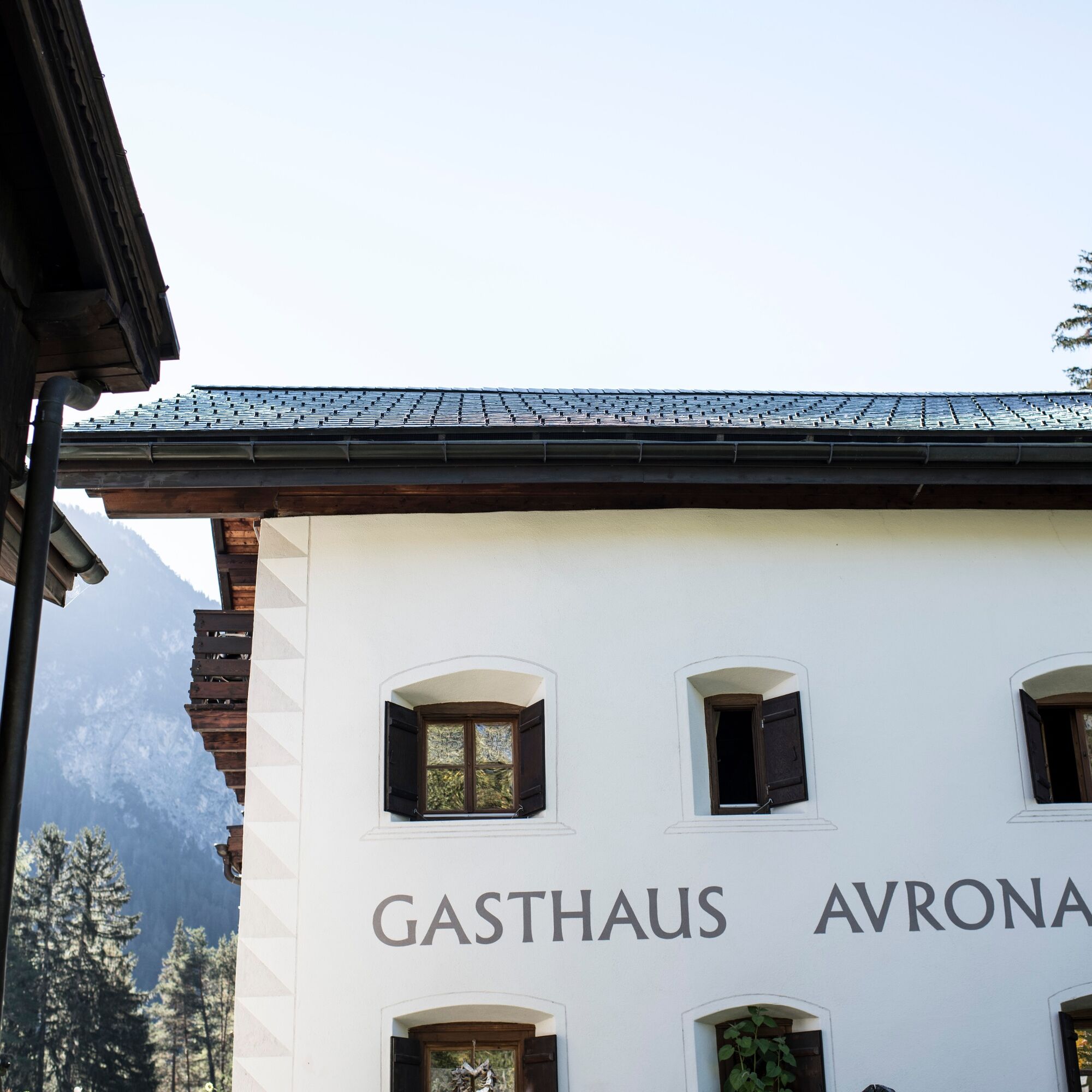
The circular route continues to the hamlet of Avrona, which lies magically in a clearing. Here is also the guesthouse Avrona, known for its homemade cakes and specialties. From here, the route goes up a little more to another highlight of the tour, the popular black lake «Lai Nair». This spot is especially popular with photographers because of the beautifully reflective water. To finish, follow the path back to Tarasp.
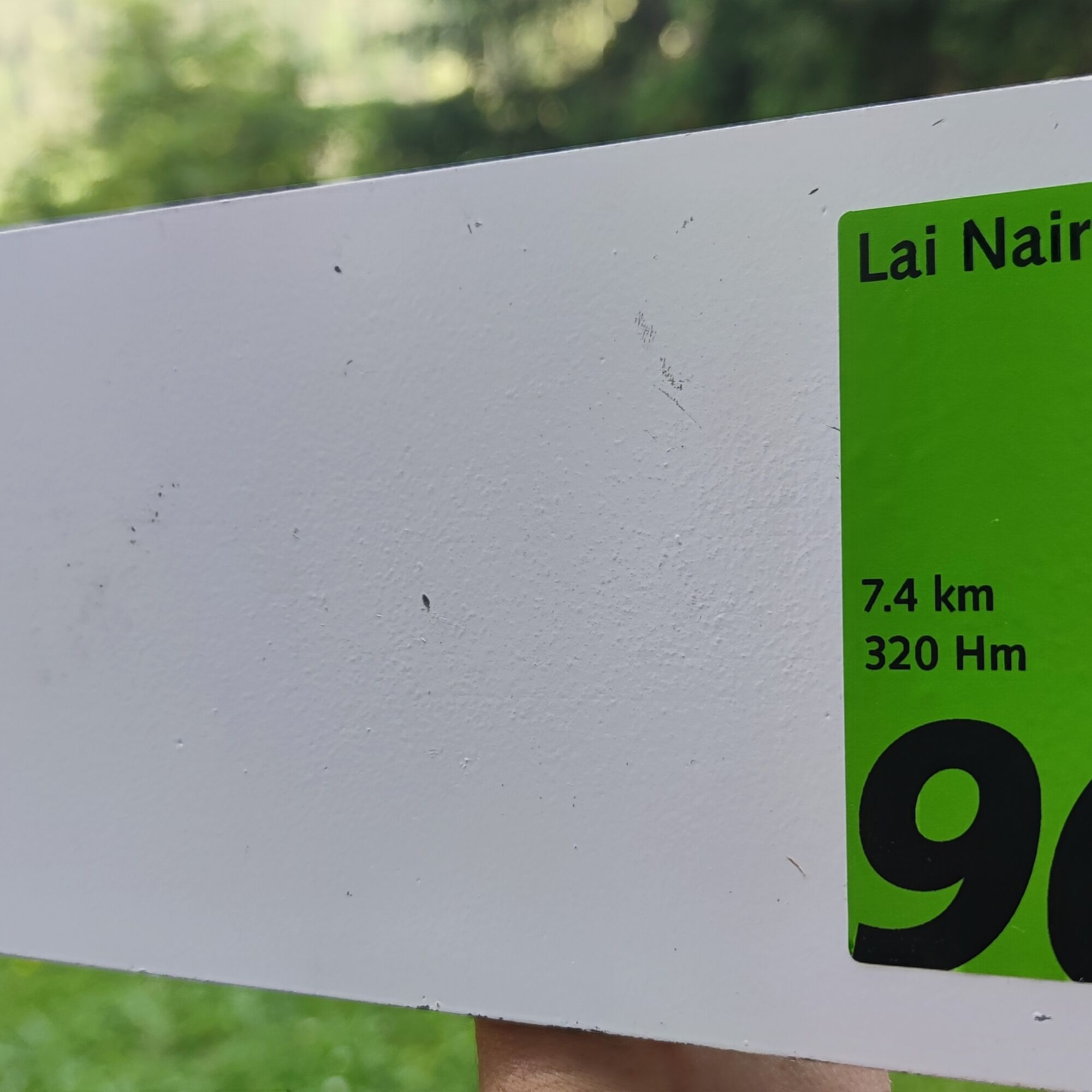
Signage
The route is marked on-site with green route stickers on white signposts.

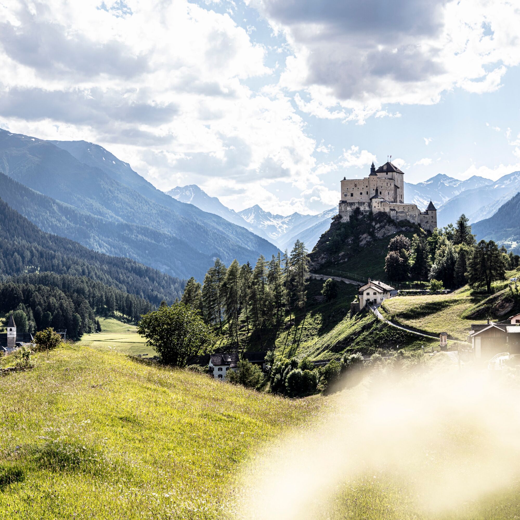

Engadine village Tarasp
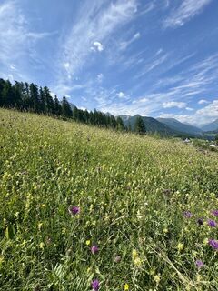
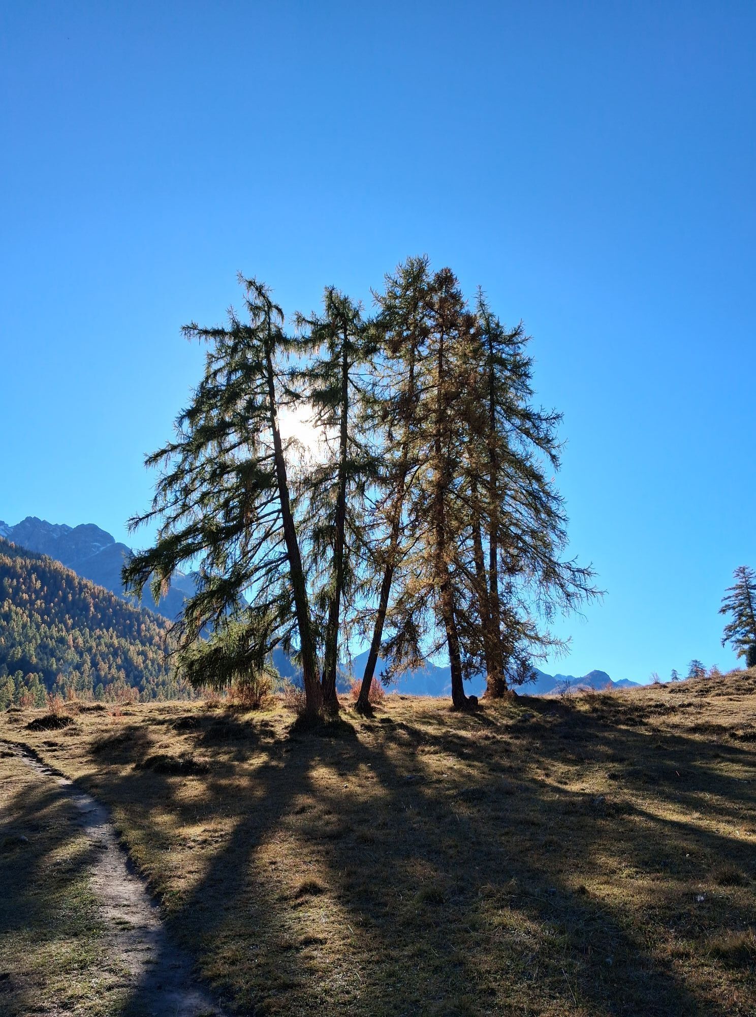
Forested landscape
Mot da la Crusch
Hamlet Avrona
Black lake «Lai Nair»
Back to Tarasp
Tak
sturdy footwear
Emergency numbers:
144 emergency call, first aid 1414 mountain rescue REGA 112 international emergency numberFrom the north: via Landquart – Klosters by car shuttle through the Vereina tunnel (Selfranga - Sagliains) or over the Flüela pass to Lower Engadine on H27
From the east: via Landeck / Austria towards St. Moritz on H27
From the south: via Reschenpass (Nauders-Martina) or Ofenpass (Val Müstair-Zernez) on H27
From Engadinerstrasse (H27) between Ardez and Scuol cross the Inn bridge to Tarasp.
By the Rhaetian Railway (from Chur, Landquart/Prättigau or from Upper Engadine) hourly to Scuol-Tarasp station
By PostAuto (from Martina, Sent, Ftan or Tarasp) hourly to Scuol-Tarasp station
Further by PostAuto to the PostAuto stop Tarasp, Fontana
Free parking spaces at Tarasp Fontana
Kamery internetowe z trasy

Popularne wycieczki w okolicy
-
4,8
National park: Zernez – Munt Baselgia – Macun lakes – Alp Zeznina – Lavin
ciężkiWędrówka 22,9 km -
4,0
National Park: Margunet
światłoWędrówka 7,76 km -
4,5
Tarasp Fontana – Sparsels – Lai Nair (circular route)
światłoWędrówka 7,67 km -
4,8
National Park: Grimmels (circular hike)
światłoWędrówka 6 km -
5,0
San Jon – Chamonna Lischana (return)
średniWędrówka 12,0 km -
4,0
Prui – Piz Clünas – Alp Laret – Ftan
średniWędrówka 13,6 km -
5,0
3 Länder Tour Uinaschlucht MTB
ciężkiMountainbike 74,6 km -
5,0
National Park: Mot Tavrü
średniWędrówka 12,0 km -
Suspension Bridge Trail Val Sinestra – Zuort – Griosch – Vnà
średniWędrówka 11,0 km -
2,8
Motta Naluns- Sent-Scuol
średniWędrówka 13,1 km

Wędrówki i tropienie


Nie przegap ofert i inspiracji na następne wakacje
Twój adres e-mail została dodana do listy mailingowej.