


- Krótki opis
-
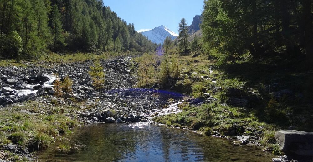
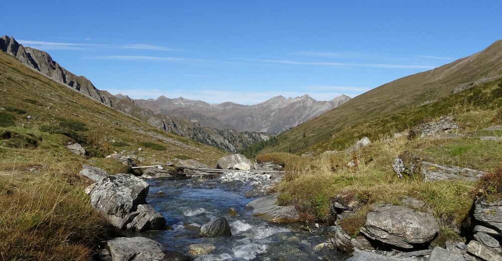
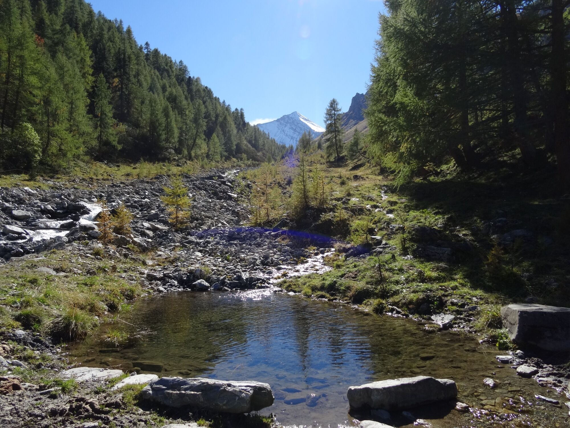
The tour begins in Acla da Fans and leads along the road for a short distance. Shortly after the first tunnel, the alpine road turns right into the wild Val Sampuoir.
- Stopień trudności
-
średni
- Ocena
-
- Trasa
-
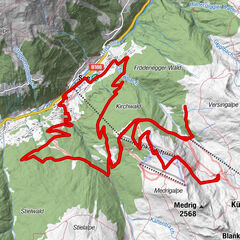
Spiss (1.628 m)Pfandshof (1.507 m)0,0 kmPlan God Nair6,0 kmPlan God Nair12,0 kmPfandshof (1.507 m)17,9 kmSpiss (1.628 m)17,9 km
- Najlepszy sezon
-
stylutmarkwimajczelipsiewrzpaźlisgru
- Najwyższy punkt
- 2.109 m
- Miejsce docelowe
-
Las Eras
- Profil wysokości
-
 © outdooractive.com


- Autor
-
Wycieczka Acla da Fans - Val Sampuoir jest używany przez outdooractive.com pod warunkiem.