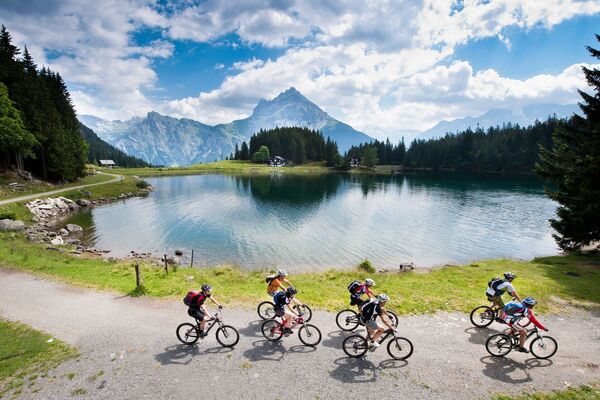
© Sedrun Disentis Tourismus - Heidi Meier

© Sedrun Disentis Tourismus - Heidi Meier

© Sedrun Disentis Tourismus - Heidi Meier

© Sedrun Disentis Tourismus - Heidi Meier
- Krótki opis
-
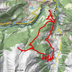
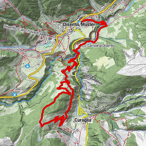
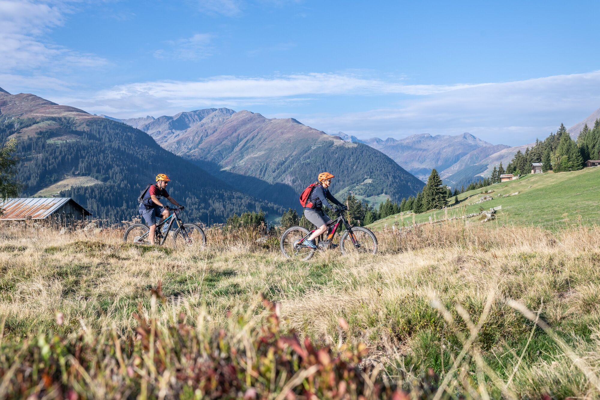
Mountainbiketour auf Teilen des ehemaligen Säumerweges über den Lukmanierpass.
- Stopień trudności
-
średni
- Ocena
-
- Trasa
-
DisentisRaverasPlaun da Haida0,9 kmSum Crusch5,2 kmMumpé Medel5,3 kmBegl Sogn Martin5,9 kmTegias da Ragisch6,8 kmMutschnengia11,2 kmPlaun Verd12,8 kmBegl Sogn Martin13,2 kmMumpé Medel13,8 kmSum Crusch13,9 kmPlaun da Haida18,0 kmDisentis18,8 km
- Najlepszy sezon
-
stylutmarkwimajczelipsiewrzpaźlisgru
- Najwyższy punkt
- 1.632 m
- Miejsce docelowe
-
Disentis
- Profil wysokości
-
 © outdooractive.com

- Autor
-
Wycieczka V - Vergera Bike jest używany przez outdooractive.com pod warunkiem.
GPS Downloads


Pasy ruchu
Trial
Informacje ogólne
Przystanek odświeżania
Kulturalny/Historyczny
Obiecujący
Więcej wycieczek w regionach
-
Uri
198
-
Disentis Sedrun
120
-
Tujetsch
37