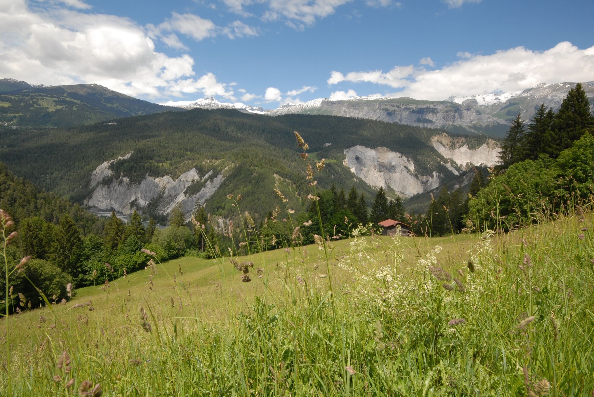
© Surselva Tourismus AG - Cordula Seiler

© Surselva Tourismus AG - Cordula Seiler

© Surselva Tourismus AG - Cordula Seiler

© Surselva Tourismus AG - Cordula Seiler
- Krótki opis
-
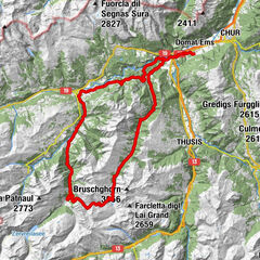
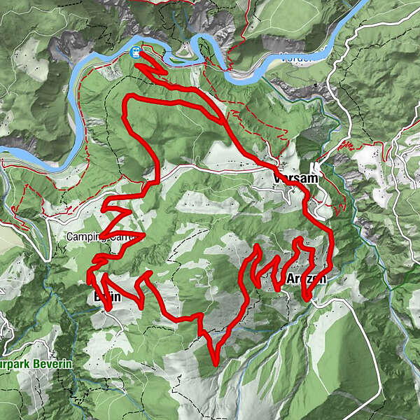
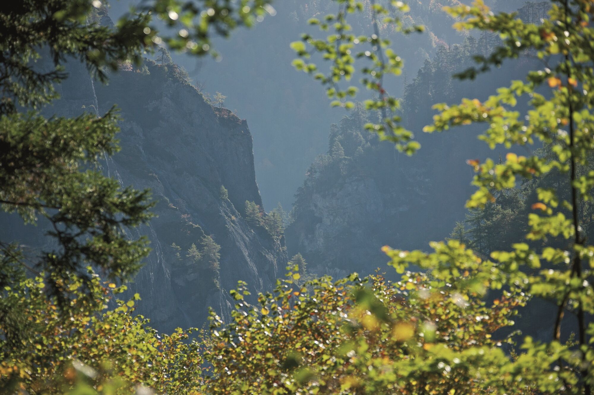
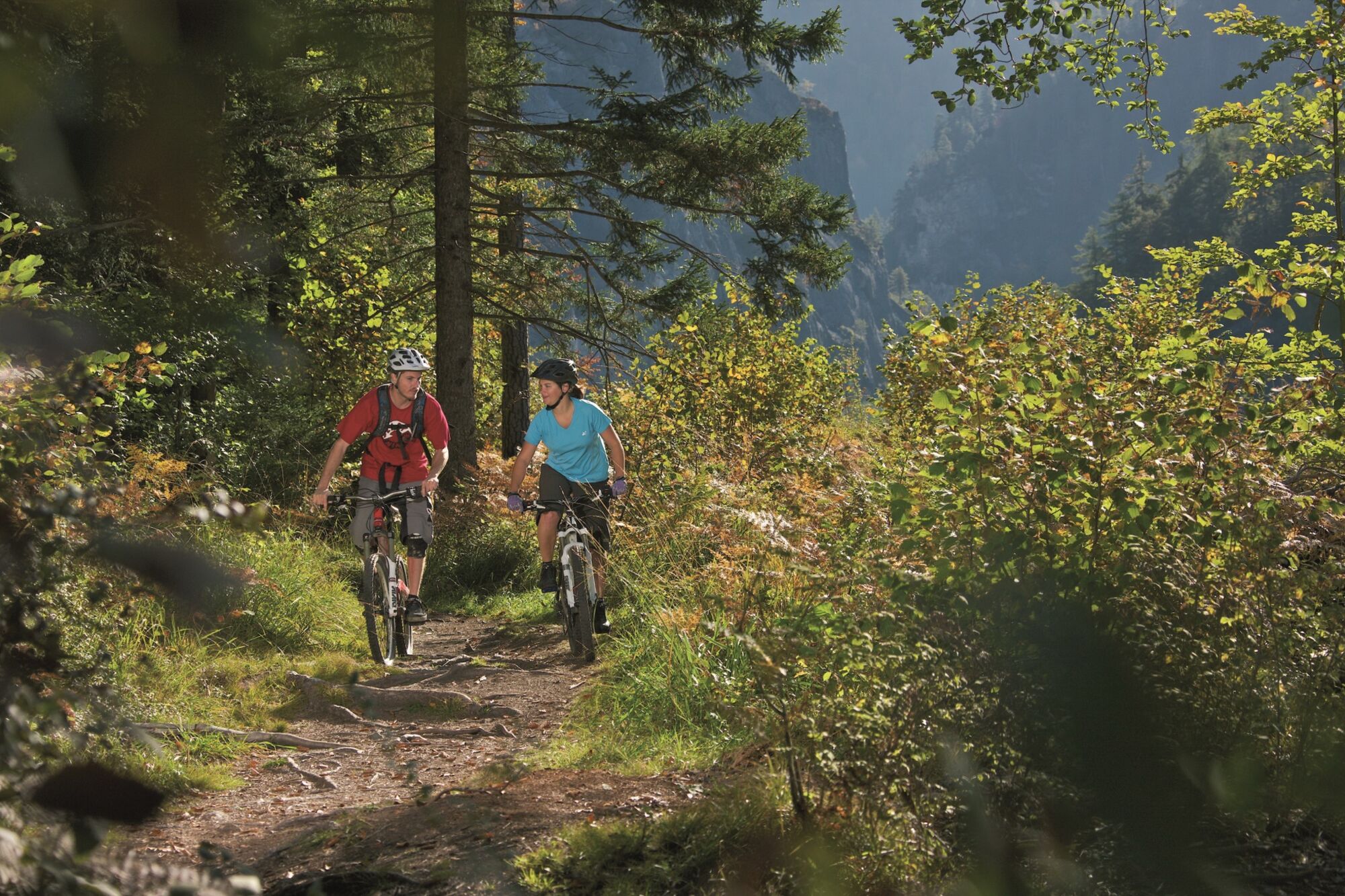
Varied circular tour south of the Rhine with a view of the Sardona UNESCO World Heritage Site, Flimserstein, Rhine Gorge and Safien Valley. Start and finish is at the Versam observation platform.
- Stopień trudności
-
średni
- Ocena
-
- Trasa
-
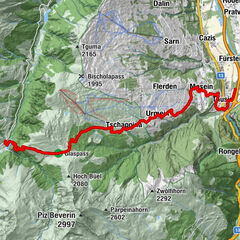
Versam3,4 kmRössli3,6 kmArezen5,6 kmMaiensäßbeizli Ilmschlacht11,8 kmBrün14,2 km
- Najlepszy sezon
-
stylutmarkwimajczelipsiewrzpaźlisgru
- Najwyższy punkt
- 1.590 m
- Miejsce docelowe
-
Versam-Safien, Bahnhof
- Profil wysokości
-
 © outdooractive.com

- Autor
-
Wycieczka 257 Calörtsch jest używany przez outdooractive.com pod warunkiem.
GPS Downloads


Informacje ogólne
Obiecujący
Więcej wycieczek w regionach
-
Heidiland
336
-
Flims Laax Falera
223
-
Trin
116