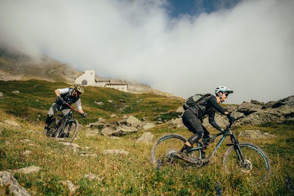
© Arosa Tourismus

© Arosa Tourismus

© Arosa Tourismus

© Arosa Tourismus

© Arosa Tourismus

- Krótki opis
-
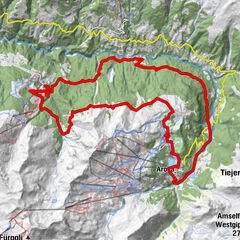
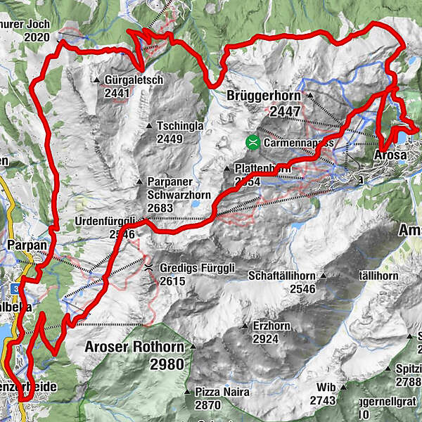
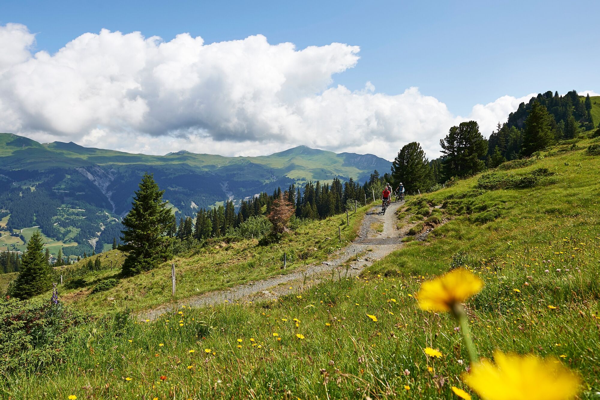
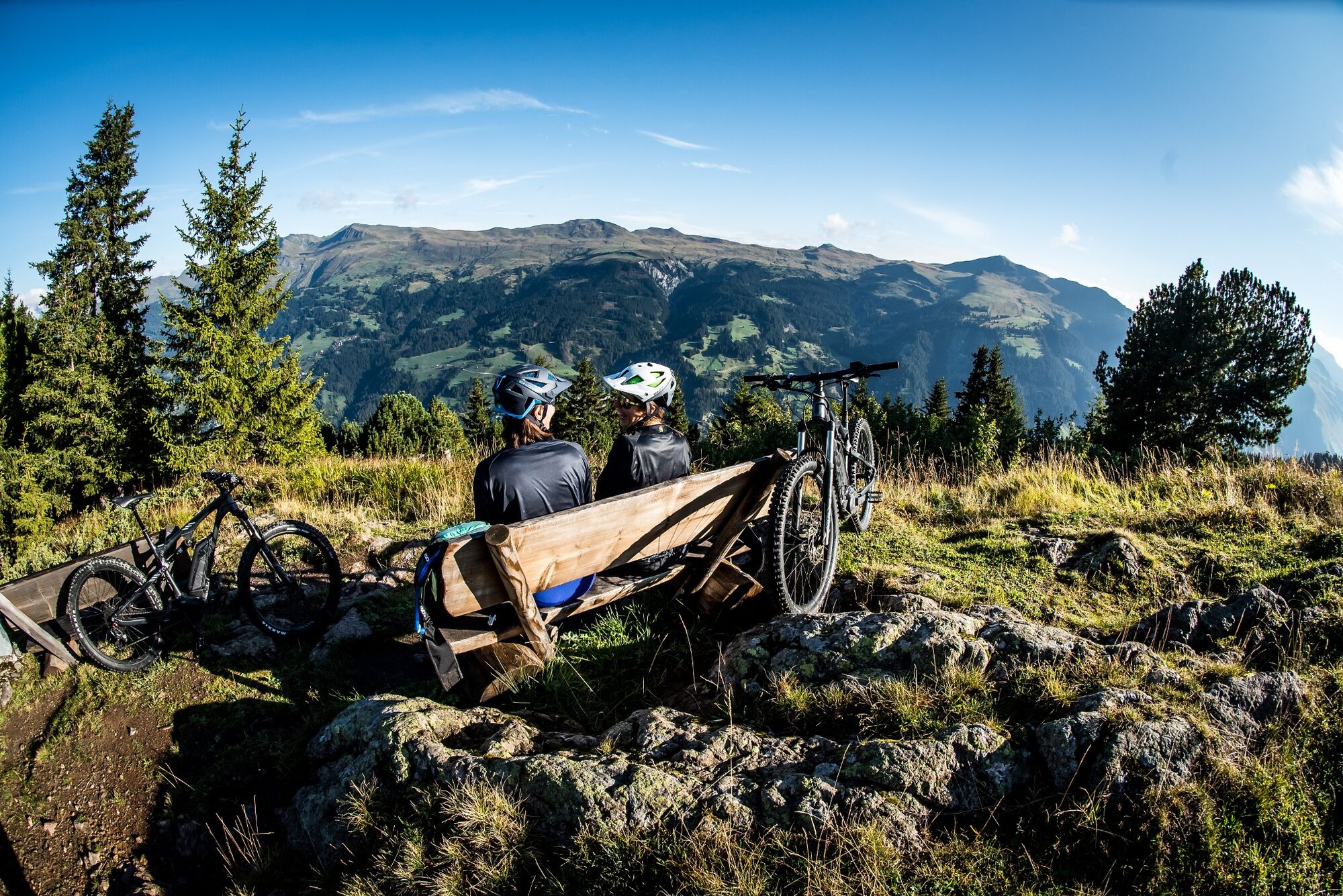
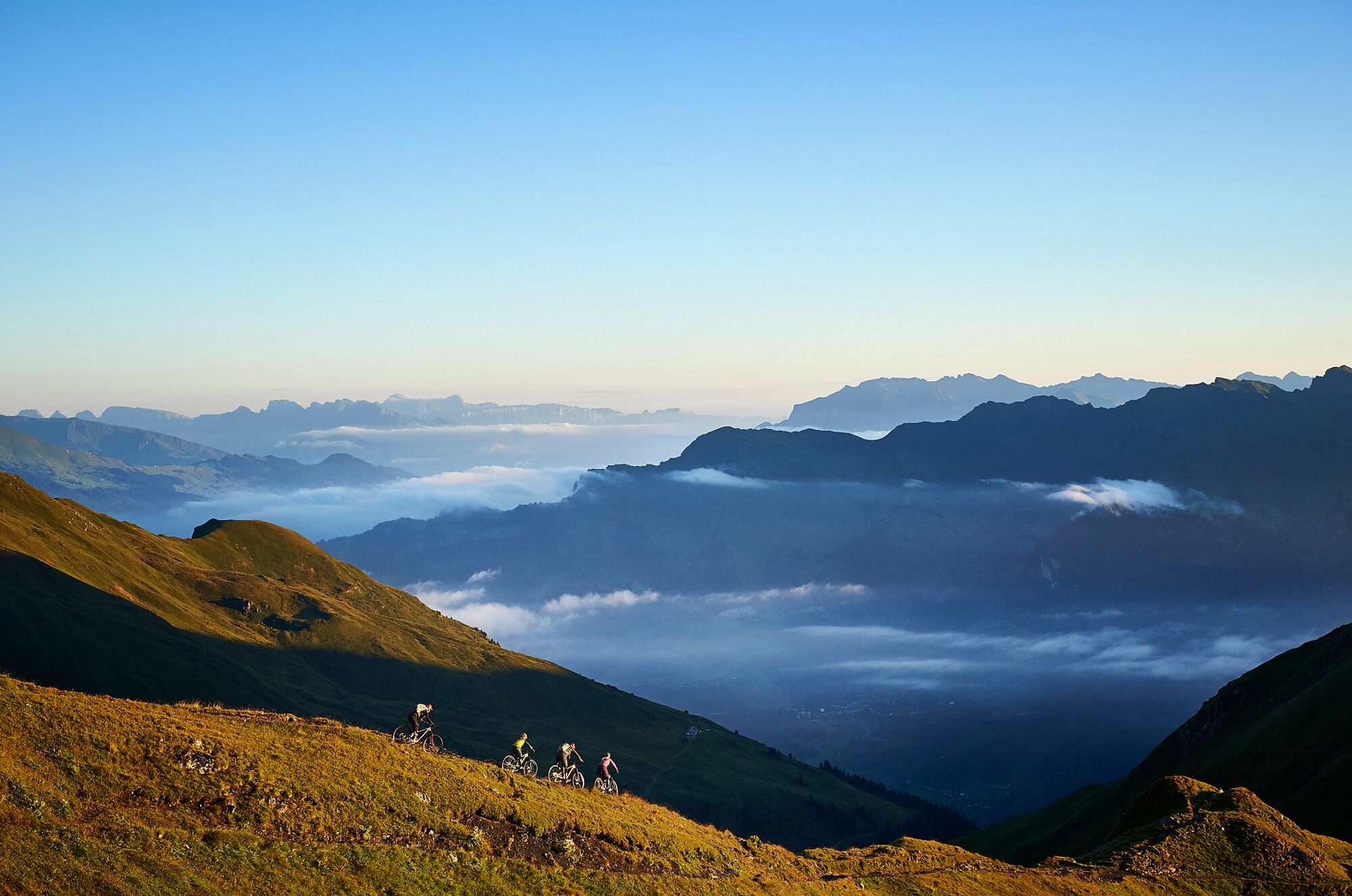
The route from Arosa through the Urdental to Lenzerheide and over the Tschiertschen back to Arosa is demanding, but unique and very varied. The ascent to Hörnlihütte can alternatively be easily handled with the Hörnli-Express.
- Stopień trudności
-
ciężkie
- Ocena
-
- Trasa
-
Arosa (1.739 m)0,0 kmArosa (1.739 m)1,1 kmPrätschli2,2 kmMitterer Hütte4,3 kmBrüggerstuba4,4 kmUrdenfürggli (2.546 m)11,4 kmMotta Hütte12,6 kmFreeflow Restaurant15,4 kmScharmoin15,5 kmStation Scharmoin (1.904 m)15,5 kmKugelbahn Scharmoin15,5 kmScharmoin16,0 kmLenzerheide (1.476 m)20,9 kmValbella (1.535 m)23,2 kmOst (1.548 m)25,4 kmKuonrigenhus26,4 kmTschuggen27,1 kmFoppa (1.753 m)29,6 kmChurer Joch (2.020 m)32,0 kmGruoba32,9 kmHüenerchöpf34,2 kmBergrestaurant Hühnerköpfe34,5 kmAlp Farur35,3 kmWaldstafel36,7 kmOchsenalp43,8 kmRot Tritt46,3 kmMaran (1.862 m)49,8 kmArosa (1.739 m)51,7 km
- Najlepszy sezon
-
stylutmarkwimajczelipsiewrzpaźlisgru
- Najwyższy punkt
- 2.535 m
- Miejsce docelowe
-
Arosa
- Profil wysokości
-
 © outdooractive.com


- Autor
-
Wycieczka 634 Arosa Lenzerheide Rundtour jest używany przez outdooractive.com pod warunkiem.
GPS Downloads

Pasy ruchu
Trial
Informacje ogólne
Przystanek odświeżania
Obiecujący
Więcej wycieczek w regionach
-
Heidiland
336
-
Arosa Lenzerheide
259
-
Tschiertschen-Praden
98