© Valposchiavo Tourismus - Filip Zuan

© Graubünden

© Valposchiavo Tourismus - Filip Zuan

© Valposchiavo Tourismus - Filip Zuan

© Valposchiavo Tourismus - Filip Zuan

© Valposchiavo Tourismus - Filip Zuan

© Valposchiavo Tourismus - Filip Zuan

© Valposchiavo Tourismus - Filip Zuan

© Valposchiavo Tourismus - Filip Zuan

© Valposchiavo Tourismus - Filip Zuan

- Krótki opis
-
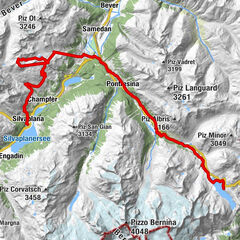
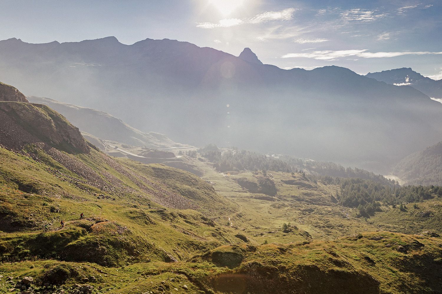
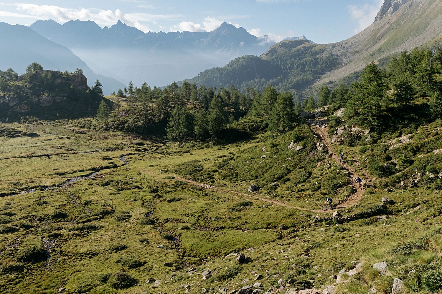
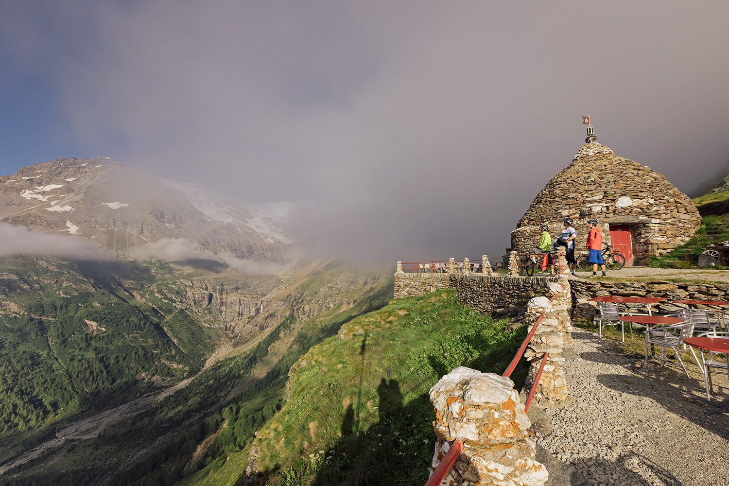
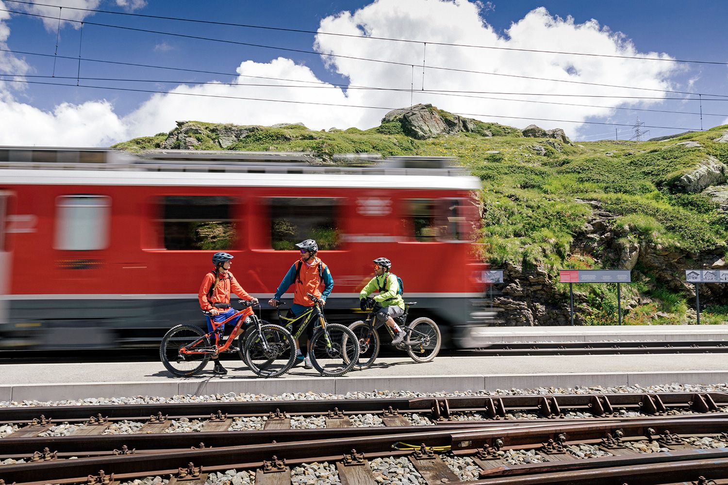
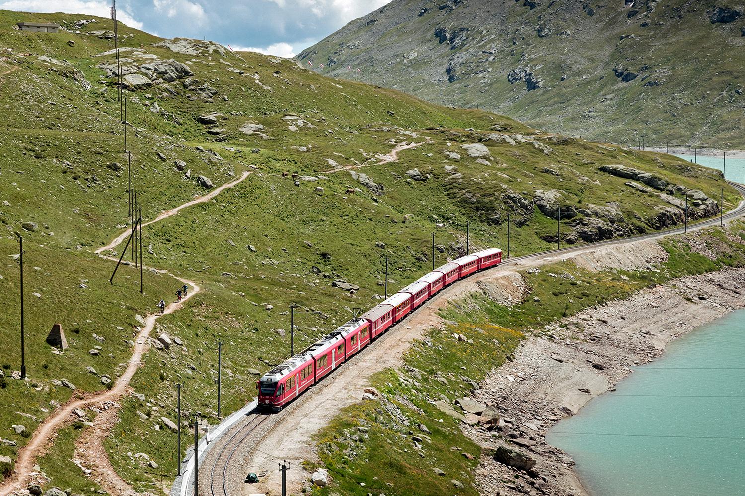
This route links the Engadin with the Valposchiavo, and within just a few hours leads through several climatic zones, crosses the backbone of the Alps and offers dramatic views of the highest adhesion railway line in Europe - part of Unesco World Heritage.
- Stopień trudności
-
średni
- Ocena
-
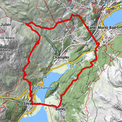
- Trasa
-
Samedan Staziun (1.706 m)0,0 kmSamedan (1.705 m)0,0 kmSamaden (1.721 m)0,0 kmPontresina (1.774 m)5,8 kmSan Spiert6,9 kmPontresina (1.805 m)6,9 kmMorteratsch (1.896 m)12,5 kmMorteratsch12,6 kmCascata da Bernina13,5 kmBernina Suot (2.046 m)16,0 kmAlpe di Bondo19,3 kmBahnhofbuffet Ospizio Bernina23,2 kmAlp Grüm28,0 kmBelvedere28,1 kmAlp Grüm (2.091 m)28,4 kmAlbergo Ristorante Stazione Alp Grüm28,5 kmStablini29,2 kmCavaglia31,0 kmBuffet Diego31,3 kmCavaglia (1.692 m)31,4 kmStazione Cavaglia31,4 kmPoschiavo (1.014 m)37,2 kmPuschlav (1.014 m)37,4 km
- Najwyższy punkt
- 2.271 m
- Miejsce docelowe
-
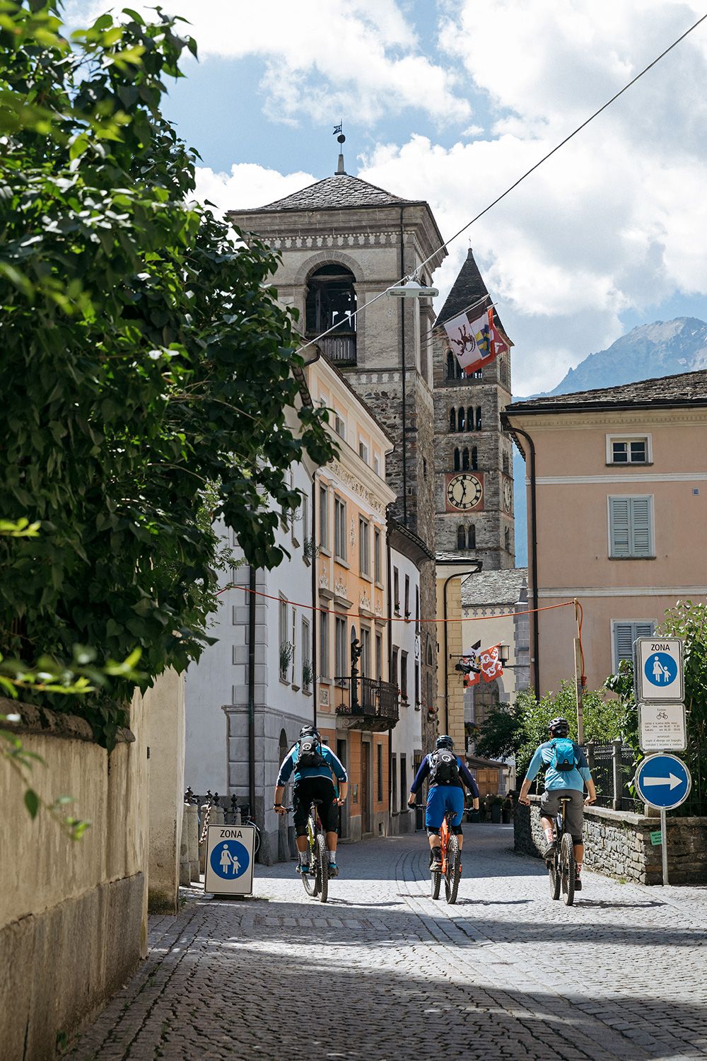
Poschiavo
- Profil wysokości
-
 © outdooractive.com


- Autor
-
Wycieczka 673 Bernina-Express jest używany przez outdooractive.com pod warunkiem.
GPS Downloads


Więcej wycieczek w regionach