© Chur - Die Alpenstadt - Michael Christ
© Chur - Die Alpenstadt - Kevin Sutter
© Chur - Die Alpenstadt - Karin Bächer

© Chur - Die Alpenstadt - Michael Christ
© Markus Bühler - Michael Christ

© Chur - Die Alpenstadt - Michael Christ
© Chur - Die Alpenstadt - Michael Christ
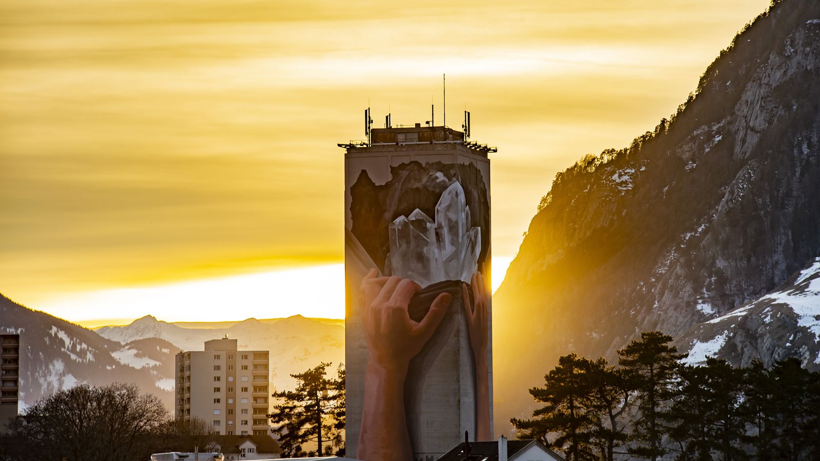
© Chur - Die Alpenstadt - Kevin's Fotografie

- Krótki opis
-
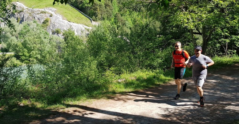
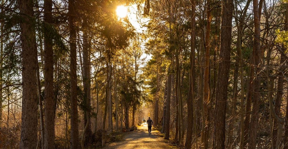
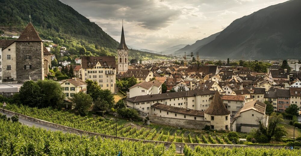
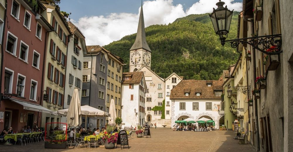
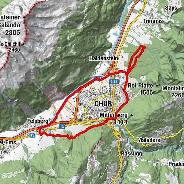
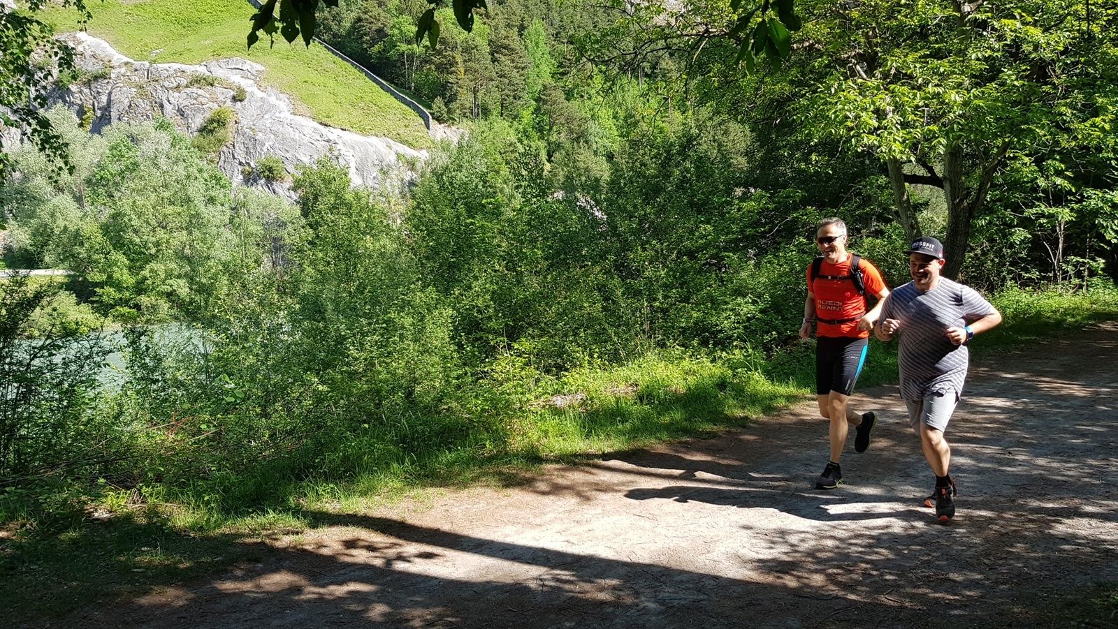
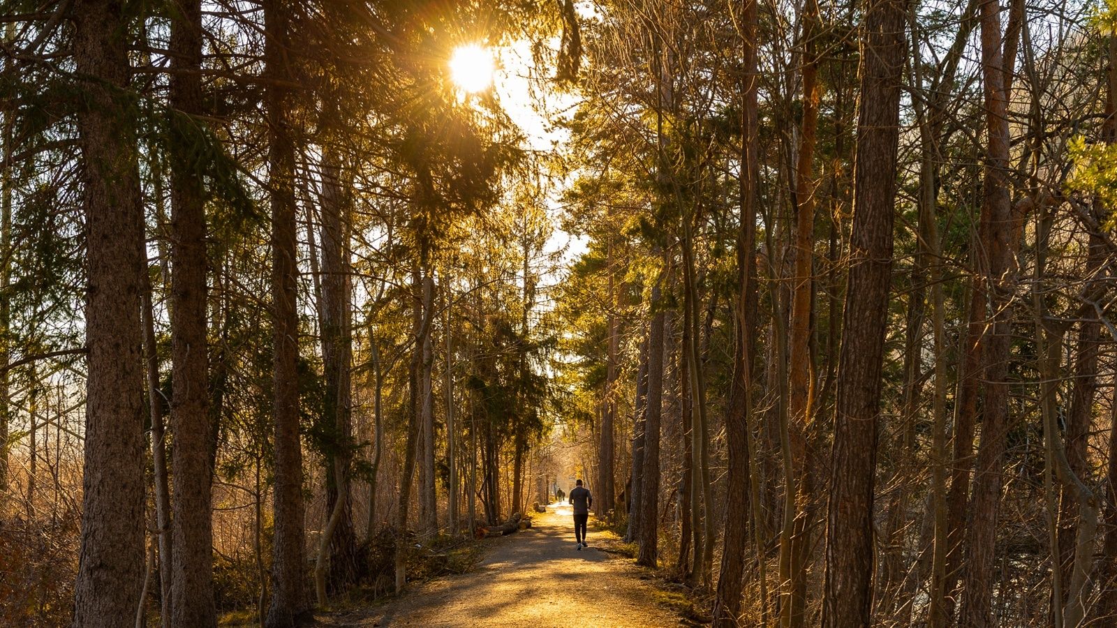
Extensive jogging tour around the Alpine City of Chur along beautiful forest paths and the banks of the Rhine, with a detour through the old town.
- Stopień trudności
-
ciężkie
- Ocena
-
- Trasa
-
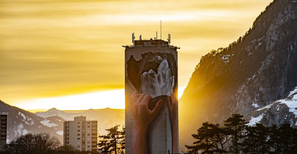
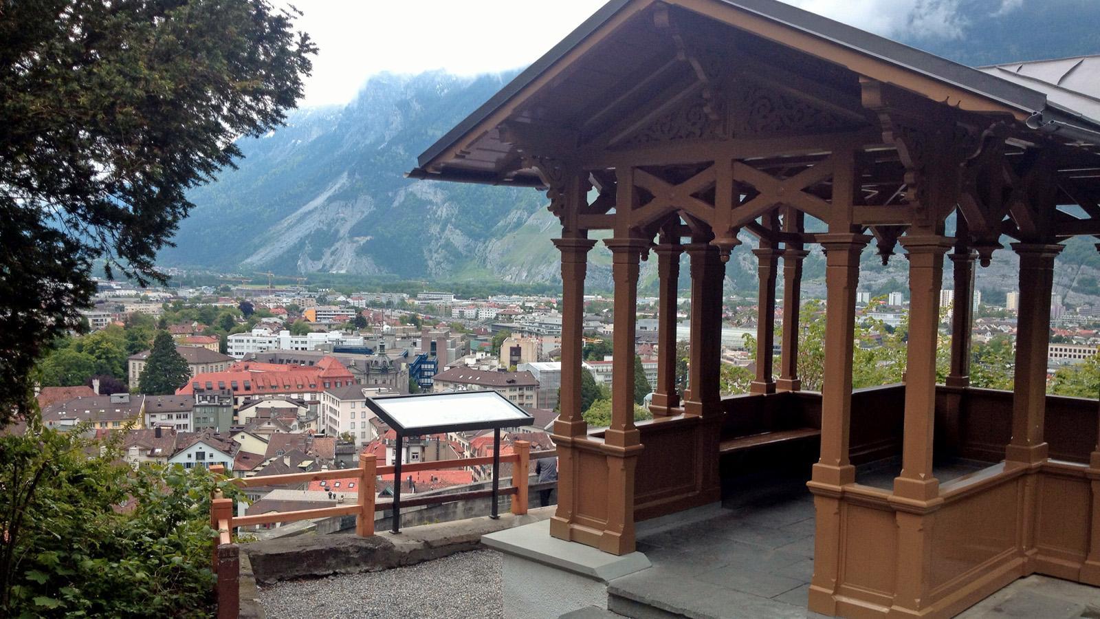
Chur (593 m)0,0 kmMartinskirche0,3 kmMasans8,4 kmFelsberg (572 m)14,2 kmKornquader18,5 kmRosenhhügel19,2 kmFriedenskirche19,4 km
- Najlepszy sezon
-
stylutmarkwimajczelipsiewrzpaźlisgru
- Najwyższy punkt
- 735 m
- Miejsce docelowe
-
Obertor, Chur
- Profil wysokości
-
 © outdooractive.com

-

-
AutorWycieczka Alpine City Trail jest używany przez outdooractive.com pod warunkiem.
GPS Downloads


Informacje ogólne
Przystanek odświeżania
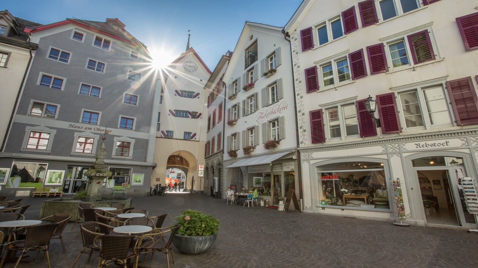
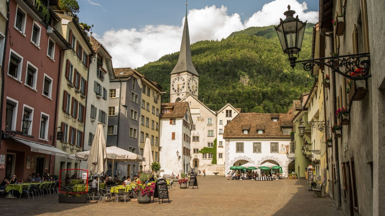
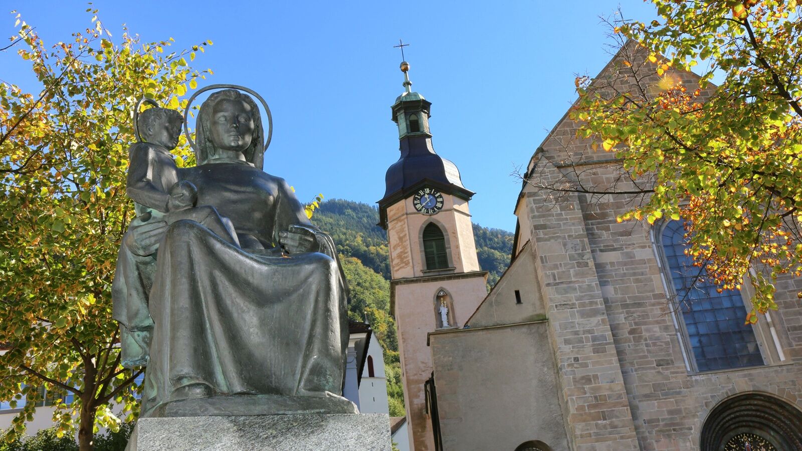
Kulturalny/Historyczny
Obiecujący
Więcej wycieczek w regionach
-
Heidiland
49
-
Chur und Rheintal
12
-
Chur
4