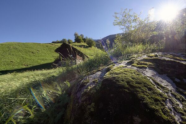
© Graubünden Ferien - Marco Hartmann

© Graubünden Ferien - Marco Hartmann

© Graubünden Ferien - Marco Hartmann

© Graubünden Ferien - Marco Hartmann

© Graubünden Ferien - Marco Hartmann

© Graubünden Ferien - Marco Hartmann

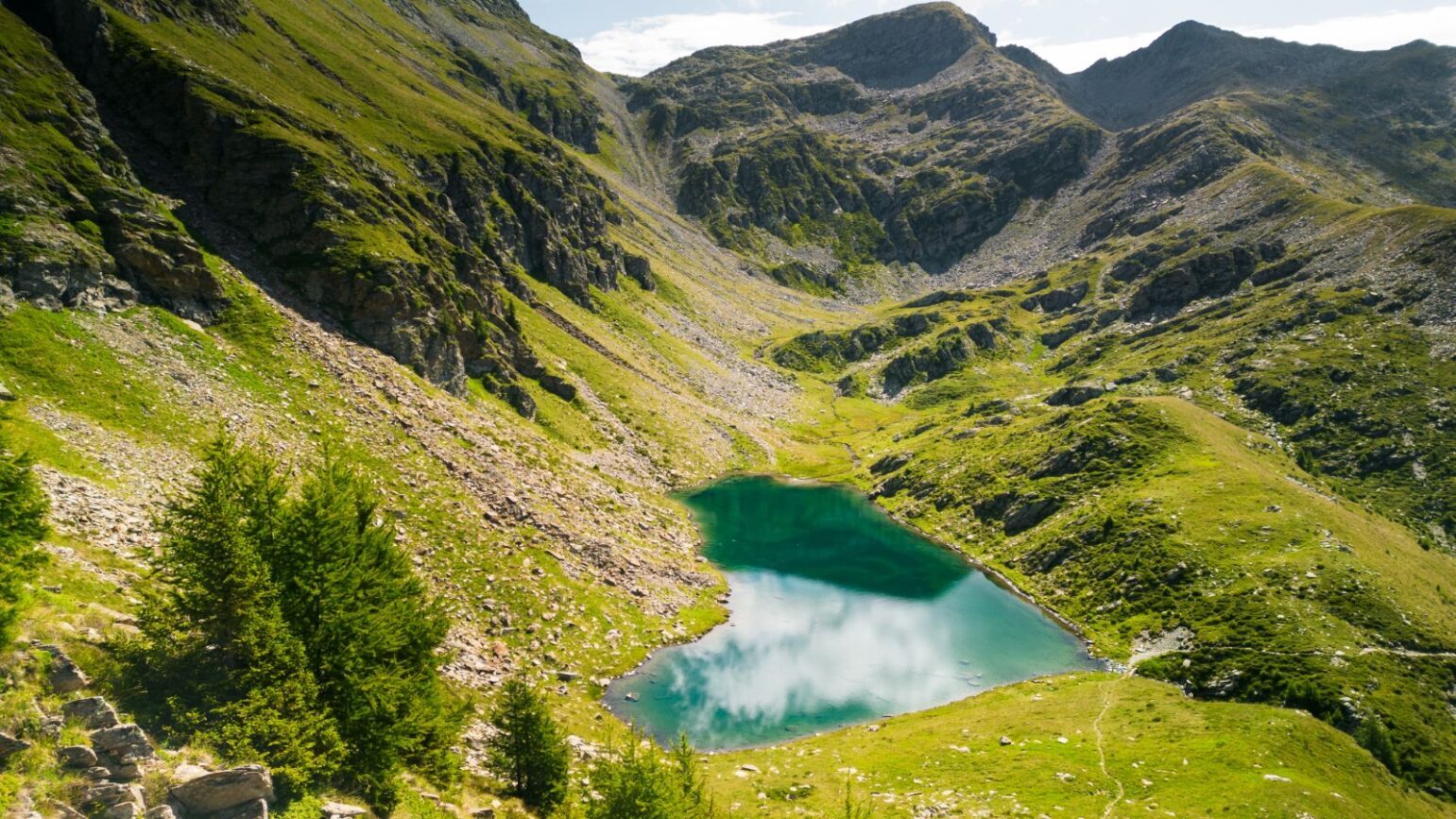
© Ente Turistico Regionale del Moesano San Bernardino, Mesolcina, Calanca - Antonella Klee

© Ente Turistico Regionale del Moesano San Bernardino, Mesolcina, Calanca - Antonella Klee

© Ente Turistico Regionale del Moesano San Bernardino, Mesolcina, Calanca - Antonella Klee

© Ente Turistico Regionale del Moesano San Bernardino, Mesolcina, Calanca - Antonella Klee
Dane wycieczki
45,25km
956
- 2.497m
2.421hm
3.490hm
21:30h

- Krótki opis
-
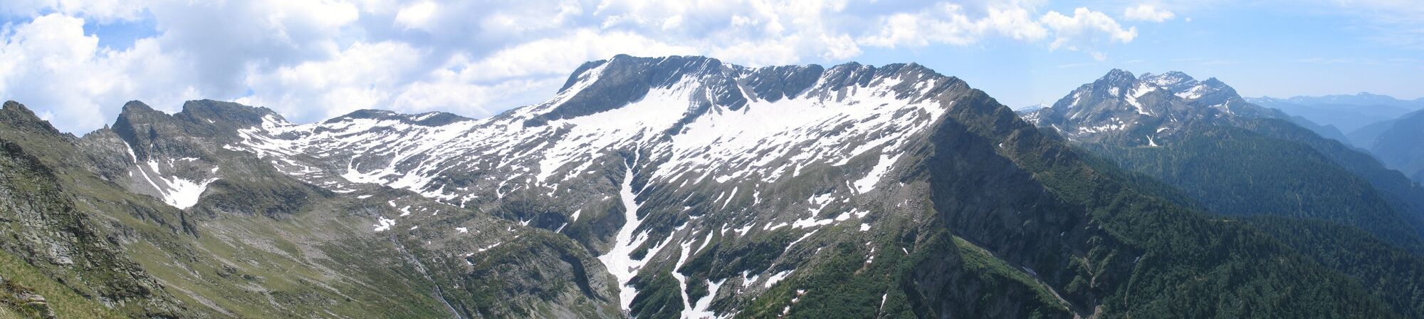
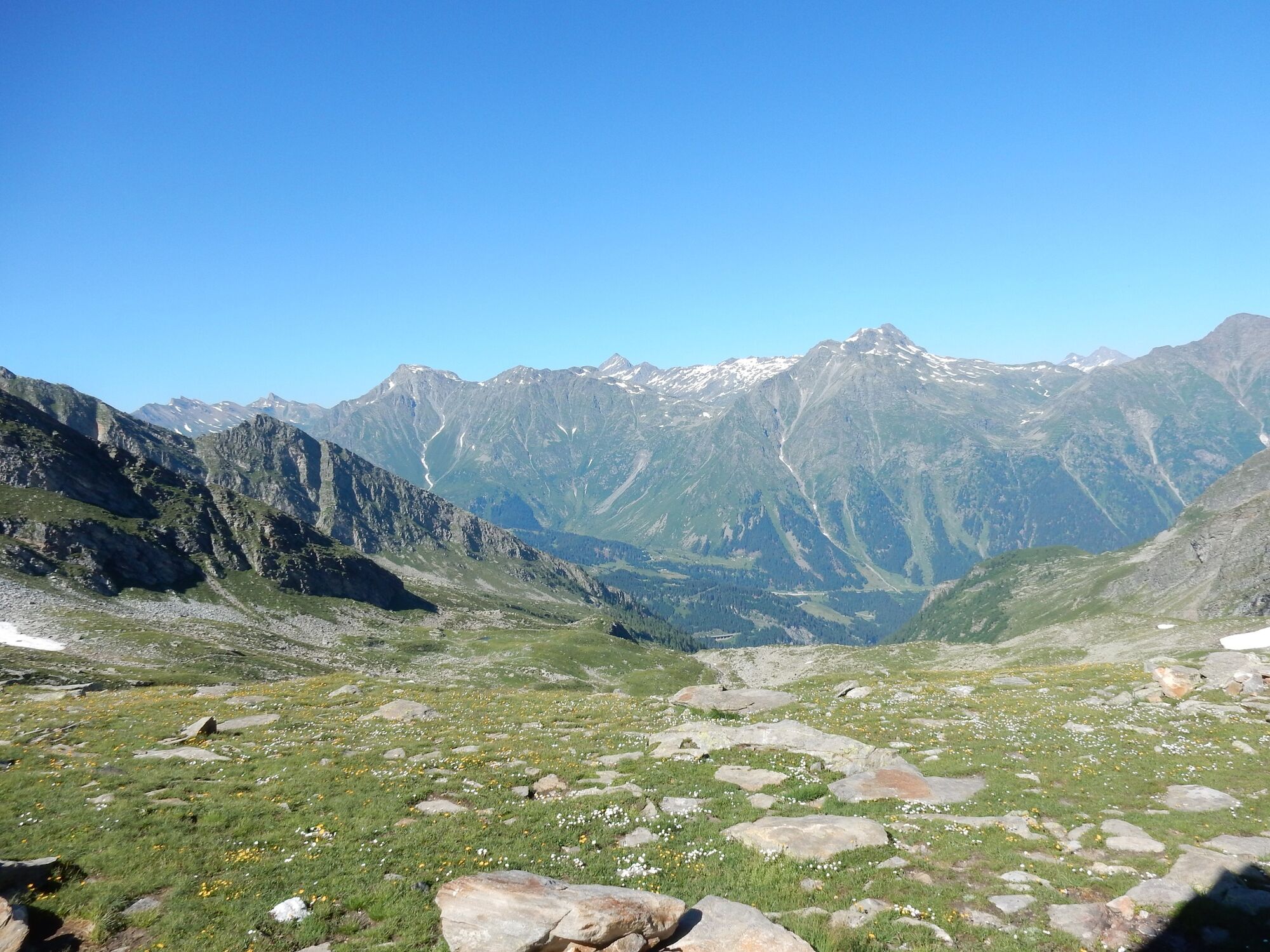
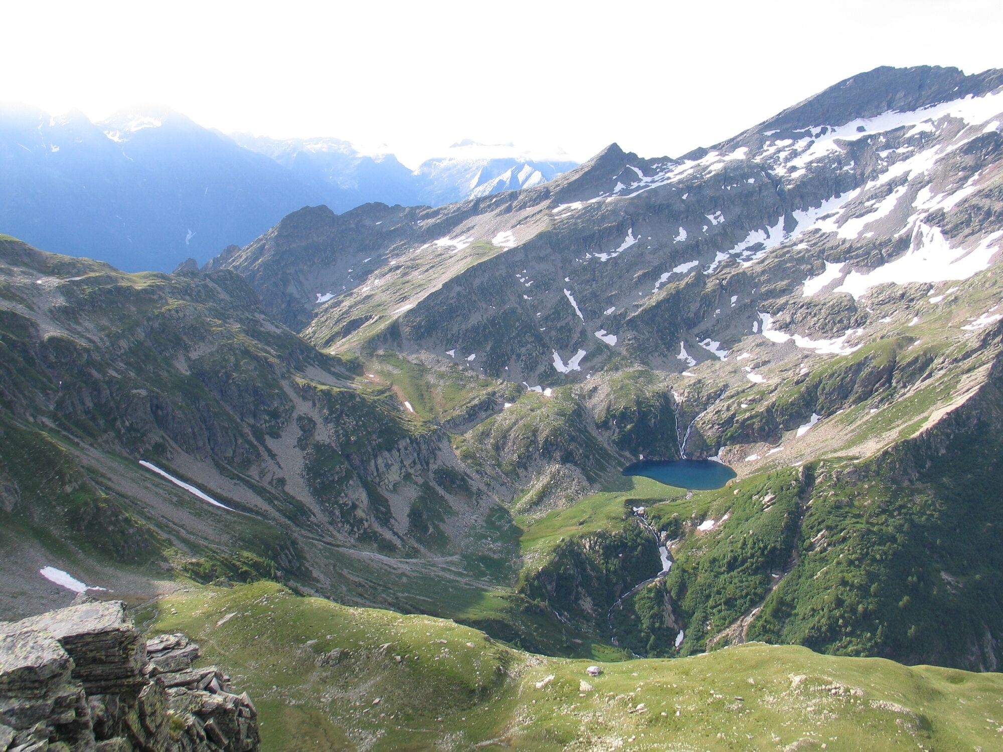
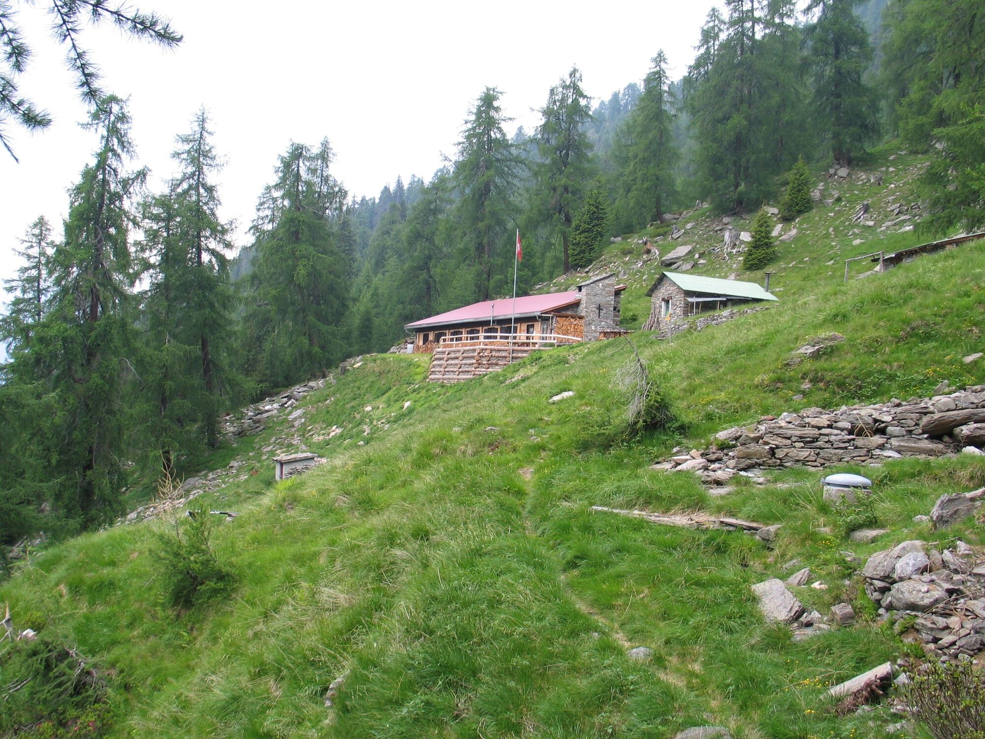
The Sentiero Alpino is a classic, a real gem among the multi-day treks. The trail hugs the steep flanks of the main north-south ridge of the mountain range that separates the south Graubünden valleys of Calanca and Misox.
- Stopień trudności
-
średni
- Ocena
-
- Trasa
-
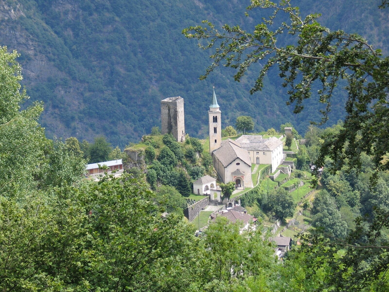
Ristorante Ospizio San Bernardino0,0 kmOspizio (2.065 m)0,0 kmAlp de Confin (2.300 m)8,0 kmPass di Passit (2.081 m)10,1 kmReverz de Passit11,3 kmPass de la Cruseta (2.455 m)11,8 kmBocca de Rogna (2.399 m)12,2 kmPian Grand14,0 kmRifugio Pian Grand (2.398 m)14,1 kmCresta Bedoleta (2.514 m)14,7 kmAlp de Trescolmen16,8 kmMottan (2.166 m)20,1 kmBocchetta de Buscenel (2.157 m)20,2 kmPiz de Ganan (2.414 m)24,9 kmBuffalorahütte29,6 kmPass de Buffalora (2.261 m)30,6 kmMotta del Perdül (2.003 m)35,4 kmAlp di Fora40,0 kmPian di Renten40,8 kmPian Di Renten (1.914 m)40,9 kmPian Giò42,1 kmSanta Maria in Calanca (955 m)45,0 kmRistorante de Torre45,2 km
- Najlepszy sezon
-
stylutmarkwimajczelipsiewrzpaźlisgru
- Najwyższy punkt
- 2.497 m
- Miejsce docelowe
-
Santa Maria im Calancatal
- Profil wysokości
-
 © outdooractive.com


-

-
AutorWycieczka 712 Sentiero Alpino Calanca jest używany przez outdooractive.com pod warunkiem.
GPS Downloads


Informacje ogólne
Przystanek odświeżania
Obiecujący
Więcej wycieczek w regionach
-
Comer See
755
-
Val Mesolcina
219
-
Rossa
48