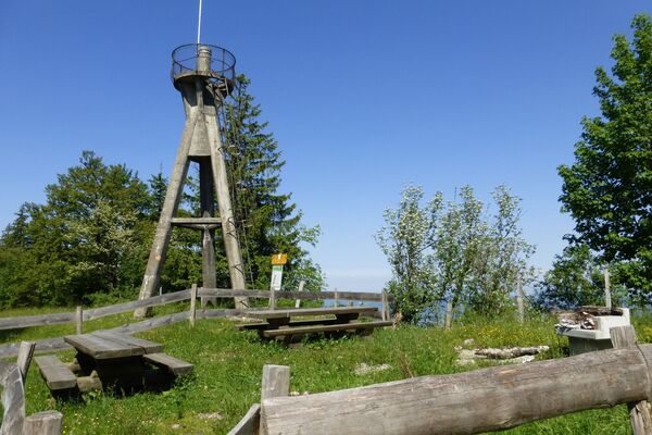
© Massif des Vosges - Vianney MULLER

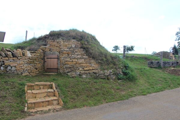
© Massif des Vosges - Office de tourisme Sundgau

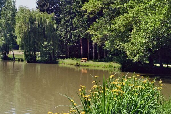
© Unbekannt

© Massif des Vosges - Vianney MULLER

© Massif des Vosges - CC Sundgau

© Unbekannt

© Unbekannt

- Krótki opis
-
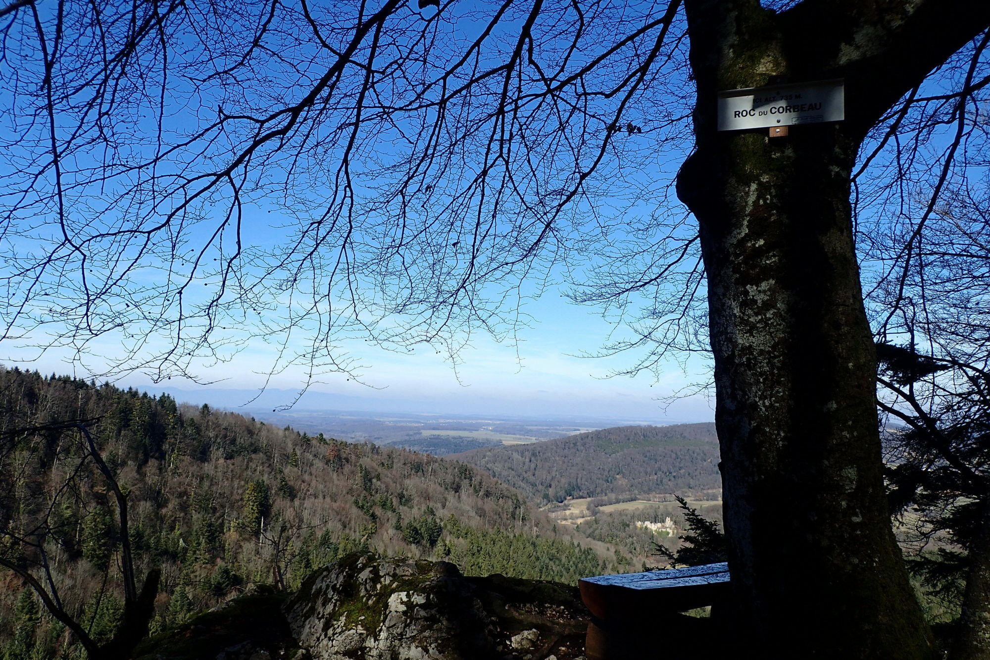
The landscapes crossed here are among the most beautiful in Sundgau. The Mannlefelsen rock shelter, a major Mesolithic site in Alsace, precedes the Ebourbettes which recount the escape of General Giraud in 1942.
- Stopień trudności
-
średni
- Ocena
-
- Trasa
-
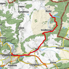
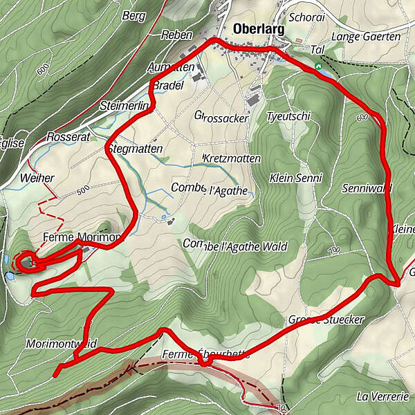
OberlargA la couronne0,0 kmÉglise Saint-Martin0,0 kmGrotte du Mannlefelsen0,3 kmSource de la Largue0,5 kmMorimont7,0 kmVacherie Matten7,7 kmAumatten8,6 kmA la couronne9,2 kmOberlarg9,3 km
- Najlepszy sezon
-
stylutmarkwimajczelipsiewrzpaźlisgru
- Najwyższy punkt
- 722 m
- Miejsce docelowe
-
Oberlag
- Profil wysokości
-
 © outdooractive.com


-

-
AutorWycieczka Oberlarg - Morimont castle jest używany przez outdooractive.com pod warunkiem.
GPS Downloads


Informacje ogólne
Kulturalny/Historyczny
Obiecujący
Więcej wycieczek w regionach
-
Kanton Jura
1148
-
Sundgau
351
-
La Baroche
61