© mdv-tours

- Krótki opis
-
Cited in 1434 under the name of Newilr, Neuviller-la-Roche successively belonged to the lords of Ban de la Roche before being part of the Vosges department in 1793. Attached in 1871 to annexed Alsace and therefore to Germany, the village will remain in the Bas-Rhin after 1918. In 1961, it took the name of Neuviller-la-Roche.
- Stopień trudności
-
średni
- Ocena
-
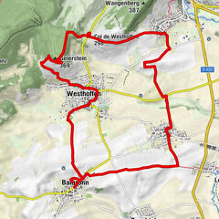
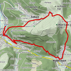
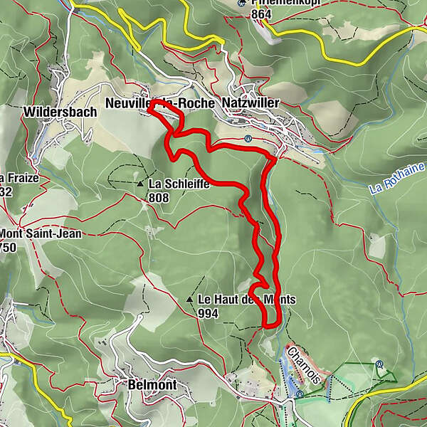
- Trasa
-
NeuweilerCascade de la Serva5,2 kmRingelsbach8,1 kmNeuweiler8,4 km
- Najlepszy sezon
-
stylutmarkwimajczelipsiewrzpaźlisgru
- Najwyższy punkt
- 899 m
- Miejsce docelowe
-
Mairie de Neuwiller-la-Roche
- Profil wysokości
-
 © outdooractive.com

-

-
AutorWycieczka Hiking circuit C10: The Serva waterfall jest używany przez outdooractive.com pod warunkiem.
GPS Downloads


Więcej wycieczek w regionach
-
Bas-Rhin
802
-
Vallée de la Bruche
464