

© Turizem Dolina Soce - Andreja Križnič

© Turizem Dolina Soce - Andreja Križnič

© Turizem Dolina Soce - Andreja Križnič

© Turizem Dolina Soce - Andreja Križnič

© Turizem Dolina Soce - Andreja Križnič

© Turizem Dolina Soce - Andreja Križnič

© Turizem Dolina Soce - Andreja Križnič

© Turizem Dolina Soce - Andreja Križnič

© Turizem Dolina Soce - Andreja Križnič

© Turizem Dolina Soce - Andreja Križnič

- Krótki opis
-
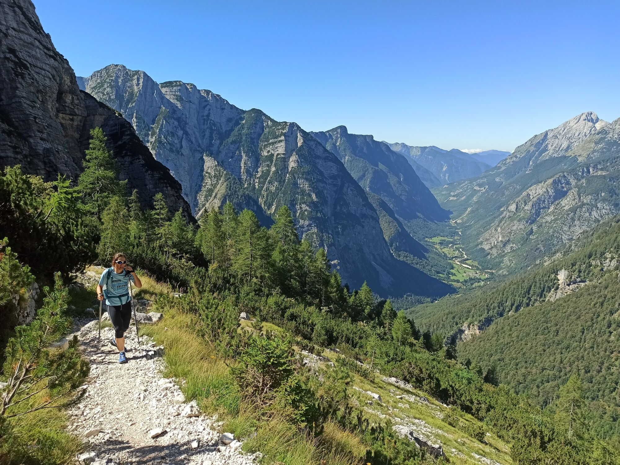
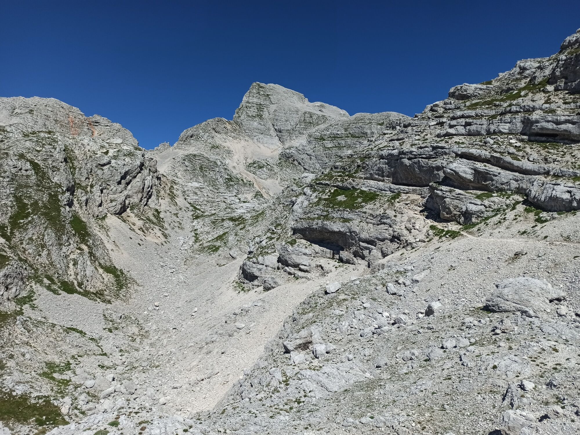
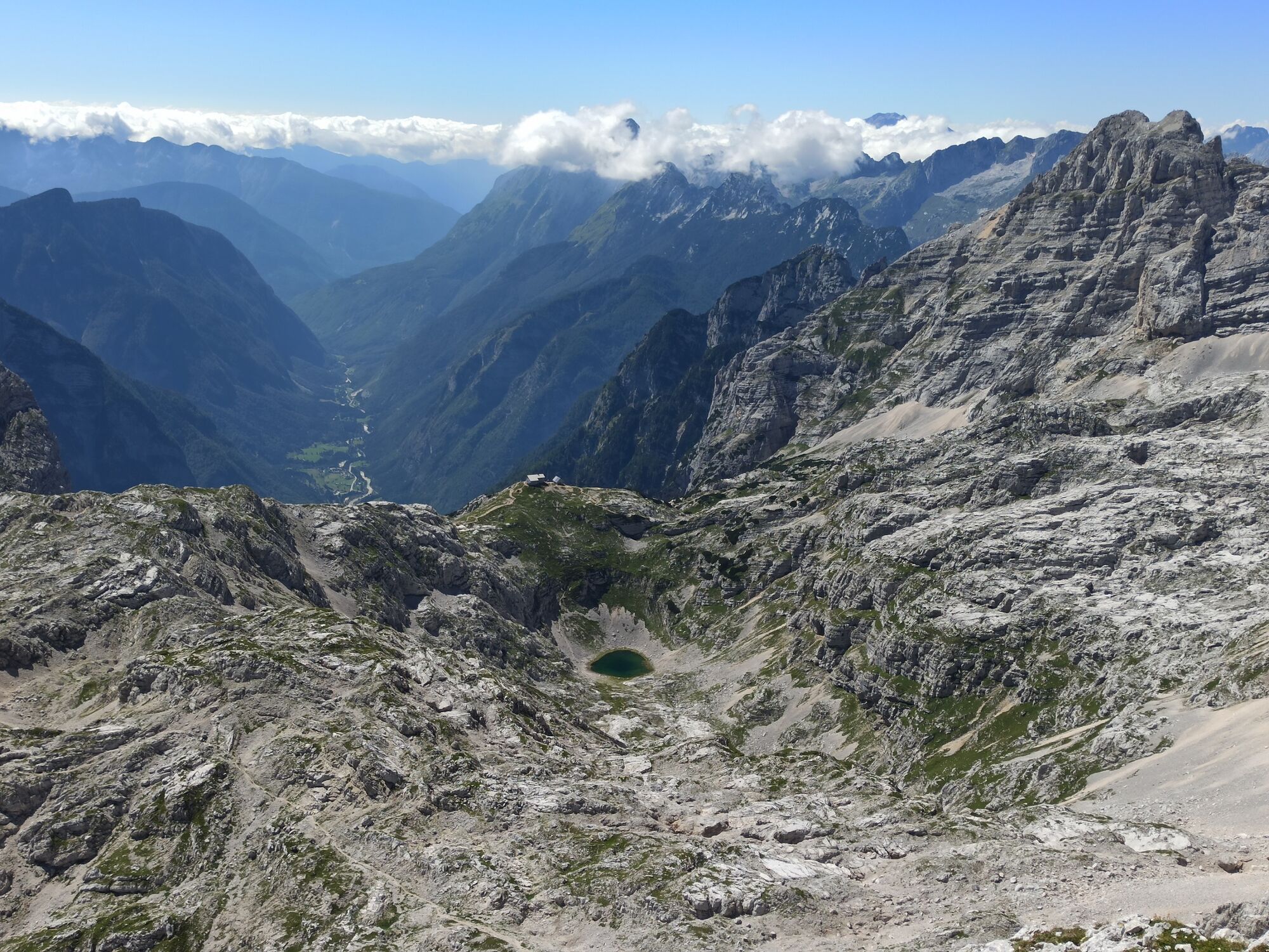
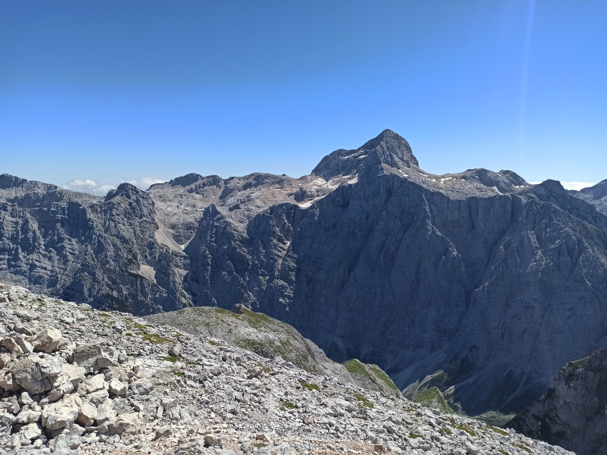
Mt. Stenar is the most easily accessible summit above the Kriški podi Plateau. It offers splendid views of Mt. Triglav and the surrounding summits. The trail to Mt. Stenar from the Zadnjica Valley is easy and marked, however, it is long and overcomes great altitude difference, which is why you should reserve a sufficient amount of time and take it when the weather is nice.
- Stopień trudności
-
ciężkie
- Ocena
-
- Trasa
-
Dovška vratca (2.176 m)10,2 kmDovški Pihavec (2.215 m)10,4 kmStenar (2.501 m)11,5 km
- Najlepszy sezon
-
stylutmarkwimajczelipsiewrzpaźlisgru
- Najwyższy punkt
- 2.429 m
- Miejsce docelowe
-
Mt. Stenar (2501 m)
- Profil wysokości
-
 © outdooractive.com


- Autor
-
Wycieczka Mt. Stenar (2,501 m) jest używany przez outdooractive.com pod warunkiem.
GPS Downloads


Informacje ogólne
Przystanek odświeżania
Uzdrawiający klimat
Kulturalny/Historyczny
Wskazówka dla osób mających dostęp do poufnych informacji
Flora
Fauna
Obiecujący
Więcej wycieczek w regionach
-
Region Villach - Faaker See - Ossiacher See
2056
-
Goriška
386
-
Trenta
152


