© Turizem Dolina Soce - Ksenija Vogrinc

© Turizem Dolina Soce - Ksenija Vogrinc

© Turizem Dolina Soce - Ksenija Vogrinc

© Turizem Dolina Soce - Ksenija Vogrinc

© Turizem Dolina Soce - Ksenija Vogrinc

© Turizem Dolina Soce - Ksenija Vogrinc

© Turizem Dolina Soce - Ksenija Vogrinc

© Turizem Dolina Soce - Ksenija Vogrinc

© Turizem Dolina Soce - Ksenija Vogrinc

© Turizem Dolina Soce - Ksenija Vogrinc


- Krótki opis
-
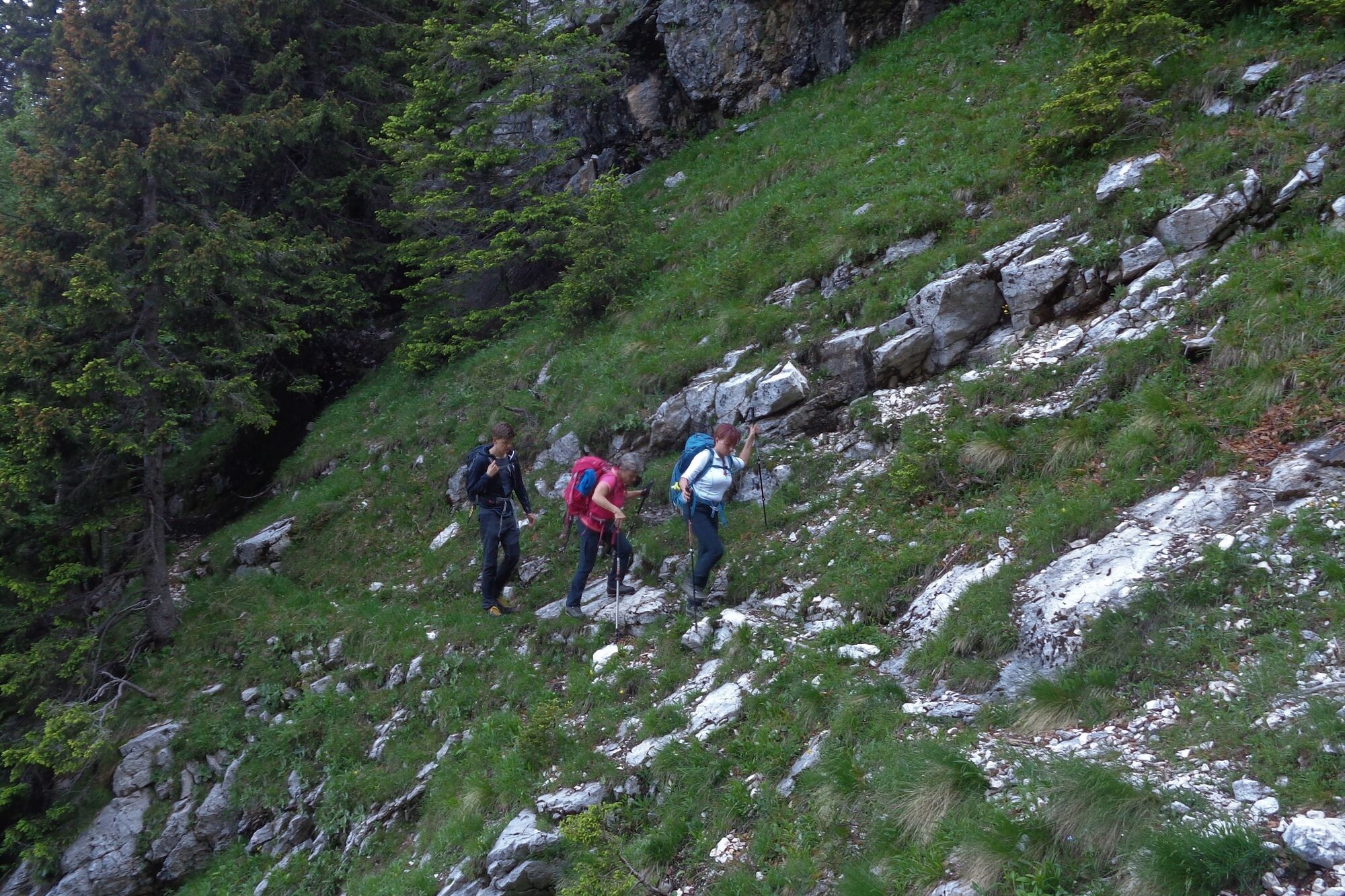
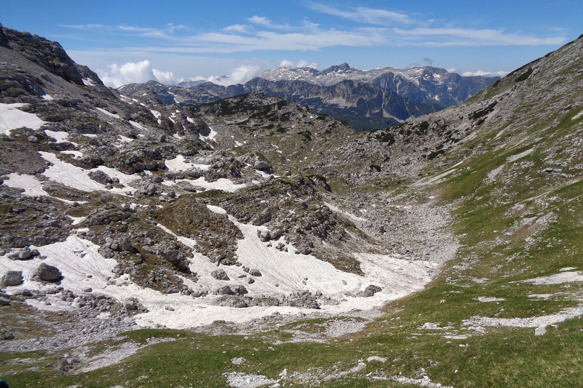
A valley where the silence makes your ears hurt – a statement which would not surprise anyone after overcoming the tour through the larch trees and past the karst features or the somewhat higher tour over the peaks above the Travnik Valley.
- Stopień trudności
-
ciężkie
- Ocena
-
- Trasa
-
Travnik (2.260 m)7,2 kmŠkrbina (2.065 m)7,5 km
- Najlepszy sezon
-
stylutmarkwimajczelipsiewrzpaźlisgru
- Najwyższy punkt
- 2.236 m
- Miejsce docelowe
-
Mt. Travnik (2,256 m)
- Profil wysokości
-
 © outdooractive.com


-

-
AutorWycieczka Mt. Travnik (2,256 m) jest używany przez outdooractive.com pod warunkiem.
GPS Downloads


Informacje ogólne
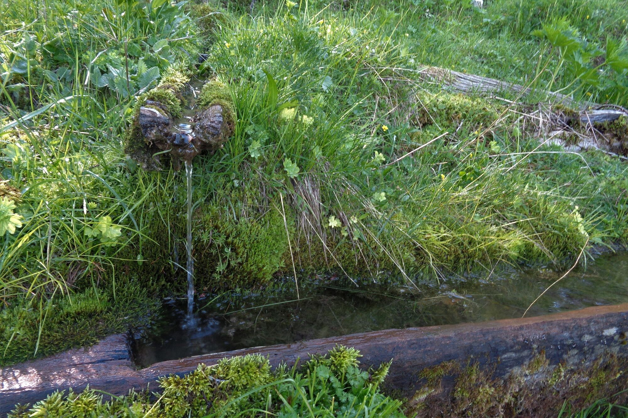
Przystanek odświeżania
Wskazówka dla osób mających dostęp do poufnych informacji
Flora
Obiecujący
Więcej wycieczek w regionach
-
Region Villach - Faaker See - Ossiacher See
2064
-
Goriška
389
-
Trenta
155