
© Turizem Dolina Soce - Peter Dakskobler
© Turizem Dolina Soce - Peter Dakskobler


- Krótki opis
-
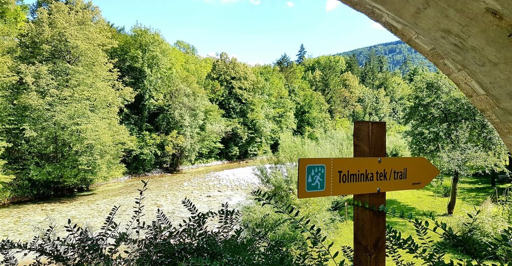
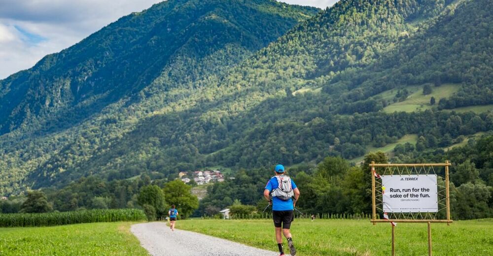
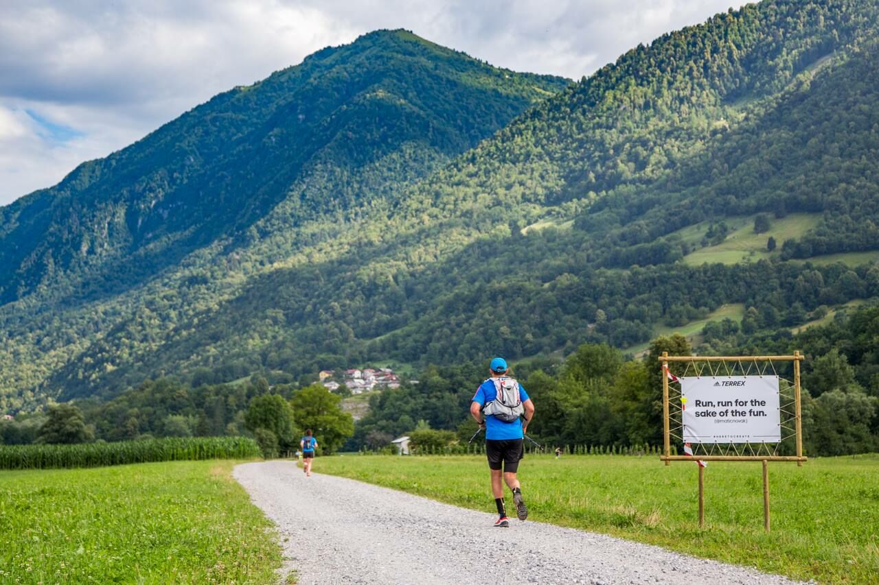
This trail run around the town of Tolmin and along the Tolminka and Soča Rivers connects the confluence of these rivers, the German ossuary and the Austrian cemetery, and is later routed beneath Mt. Kozlov rob and past the entrance point of the Tolmin Gorges.
- Stopień trudności
-
łatwe
- Ocena
-
- Trasa
-
Sveti Urh1,5 kmLoče5,4 kmTolmein6,8 km
- Najlepszy sezon
-
stylutmarkwimajczelipsiewrzpaźlisgru
- Najwyższy punkt
- 259 m
- Miejsce docelowe
-
Around Tolmin
- Profil wysokości
-
 © outdooractive.com

- Autor
-
Wycieczka Tolminka trail run jest używany przez outdooractive.com pod warunkiem.
GPS Downloads


Informacje ogólne
Przystanek odświeżania
Kulturalny/Historyczny
Wskazówka dla osób mających dostęp do poufnych informacji