
© Turizem Bled - Anja Šmit
© Turizem Bled - Anja Šmit
© Turizem Bled - Anja Šmit

© Turizem Bled - Anja Kikelj

- Krótki opis
-
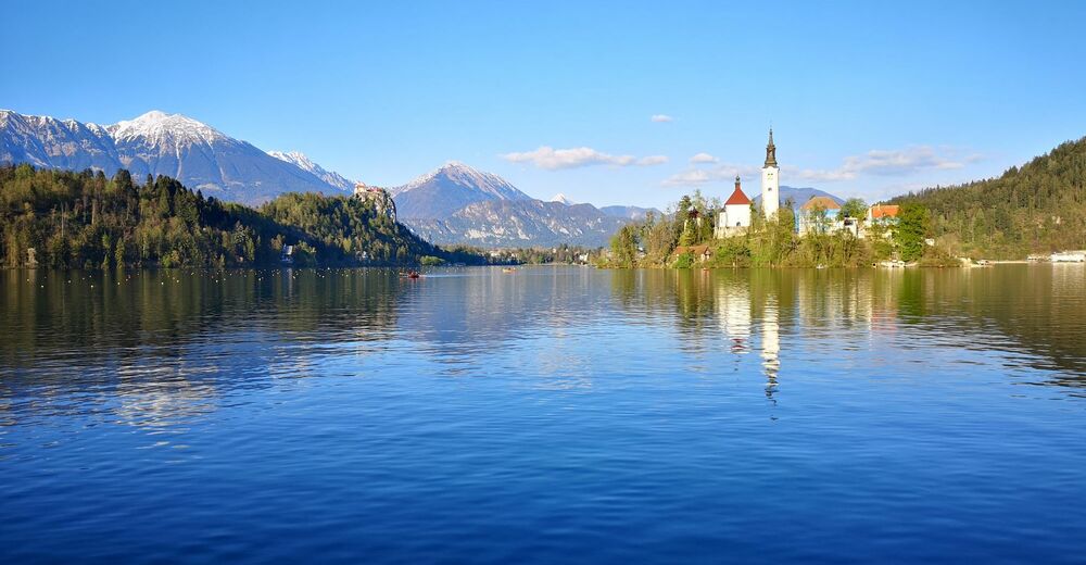
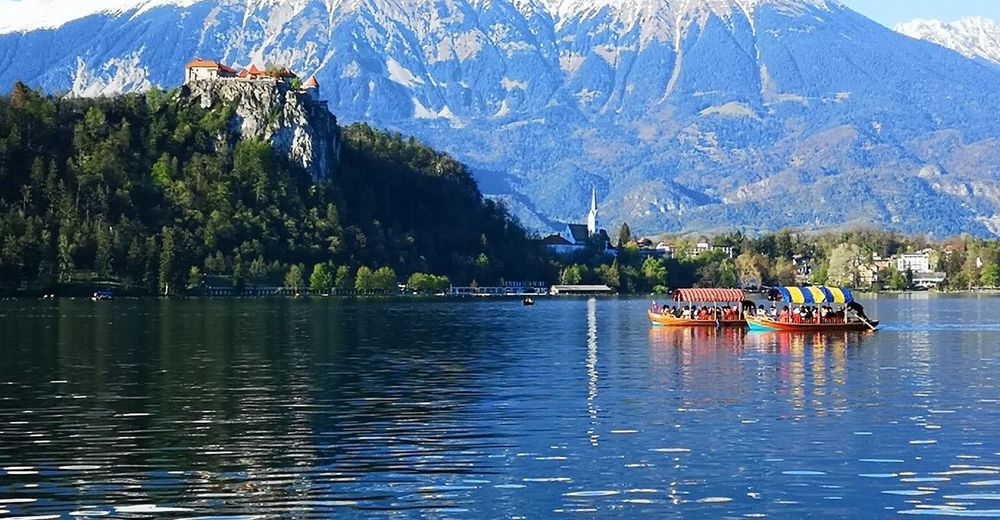
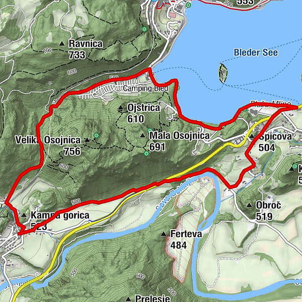
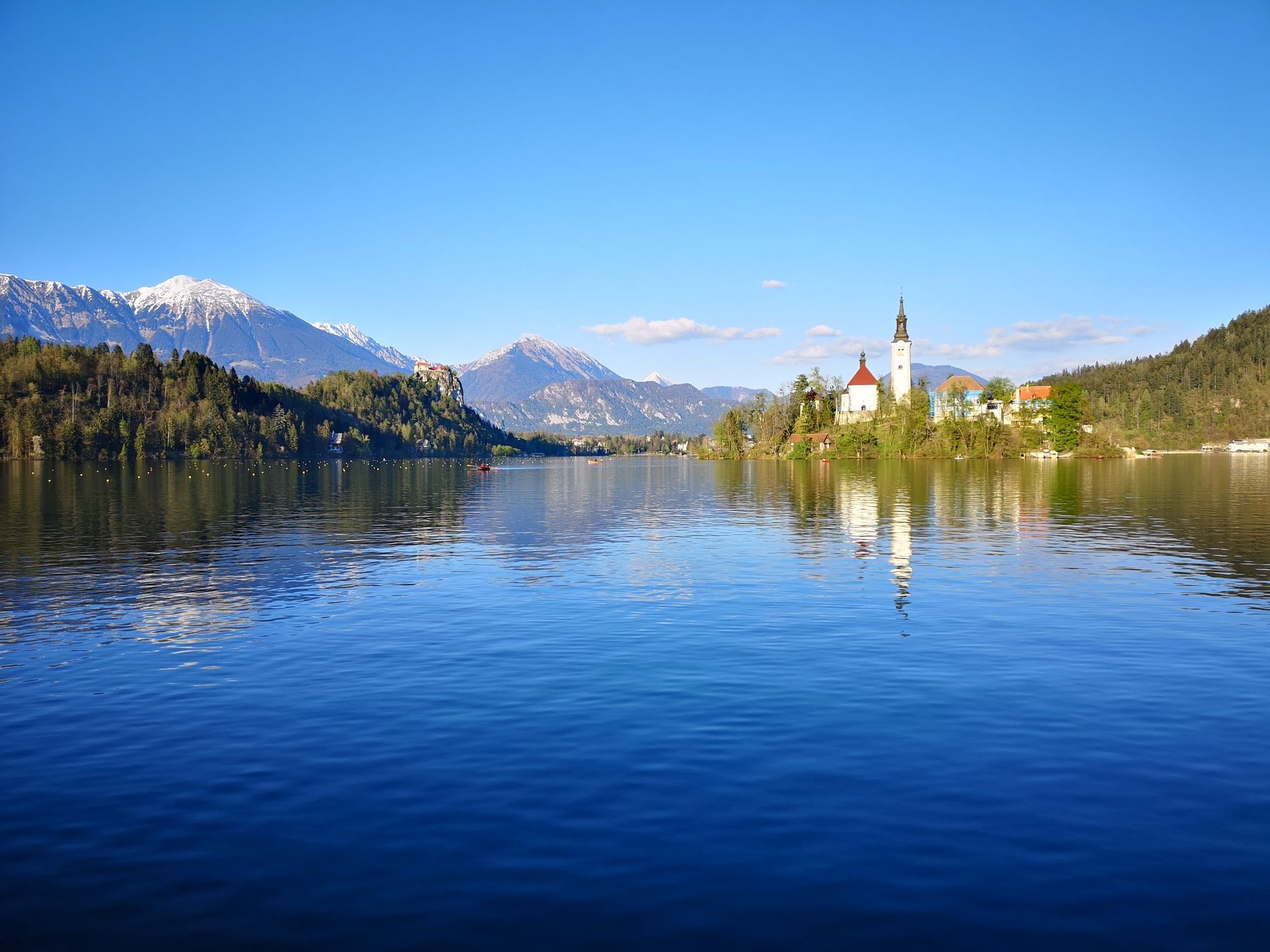
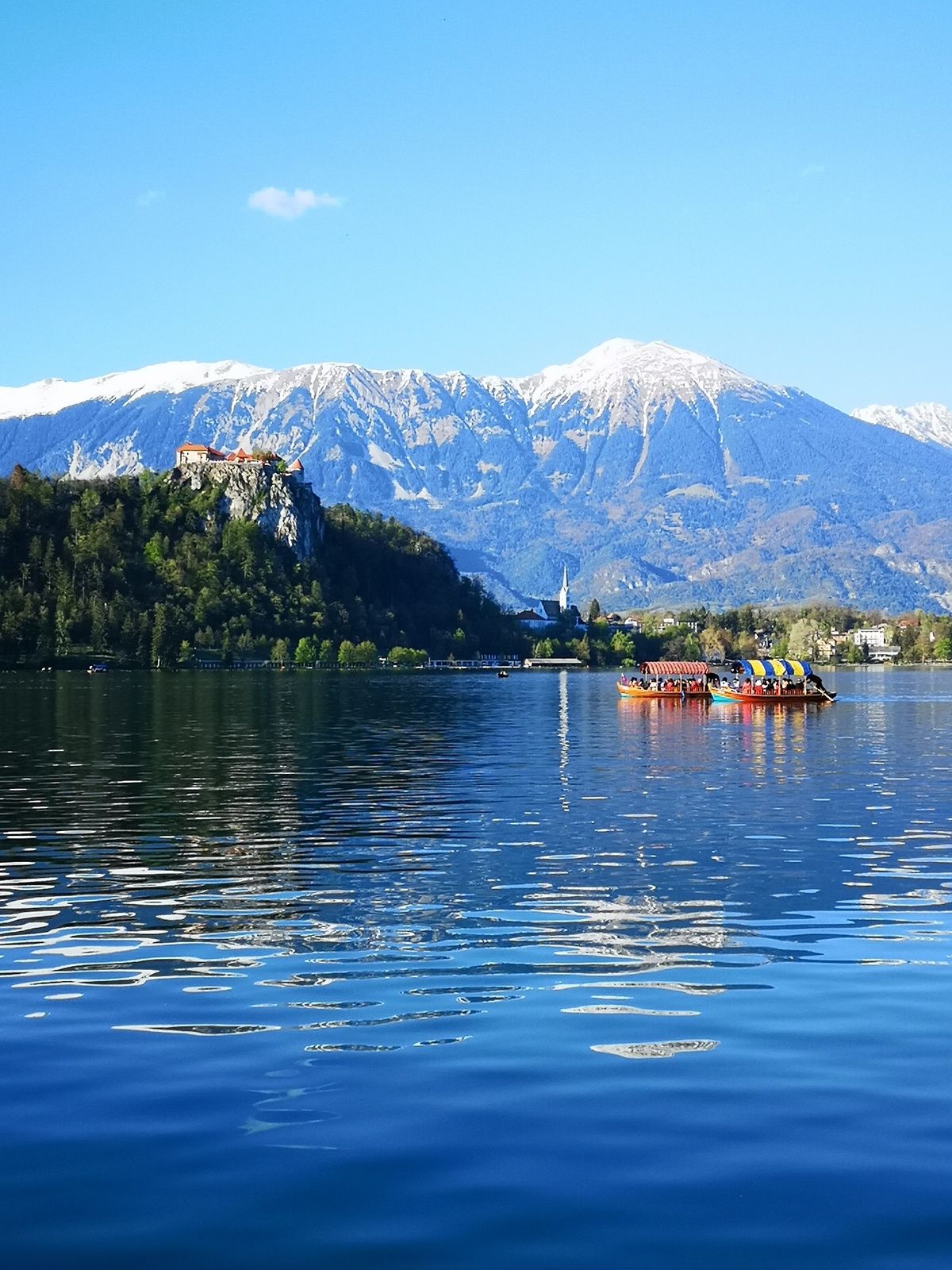
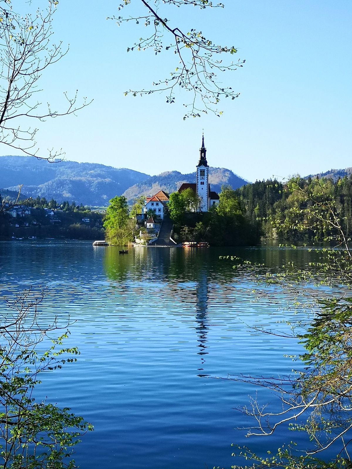
The path around Osojnica hill is the shortest path from Bohinjska Bela to the lake and bathing area. The path runs through the forest, and along the lake shore and the Sava Bohinjka River as well as across the fields.
- Stopień trudności
-
średni
- Ocena
-
- Trasa
-
Restavracija Zaka Camping Bled2,4 kmŠpicova (504 m)4,5 km
- Najlepszy sezon
-
stylutmarkwimajczelipsiewrzpaźlisgru
- Najwyższy punkt
- 591 m
- Miejsce docelowe
-
Heart of the village of Bohinjska Bela (488m).
- Profil wysokości
-
 © outdooractive.com
- Autor
-
Wycieczka Around Osojnica jest używany przez outdooractive.com pod warunkiem.
GPS Downloads


Informacje ogólne
Uzdrawiający klimat
Flora
Fauna
Obiecujący
Więcej wycieczek w regionach
-
Wörthersee - Rosental
1949
-
Gorenjska
141
-
Bled
209


